Elevation of Poverty Point Reservoir State, Poverty Point Pkwy, Delhi, LA, USA
Location: United States > Louisiana > Richland Parish > >
Longitude: -91.494054
Latitude: 32.482759
Elevation: 29m / 95feet
Barometric Pressure: 101KPa
Elevation Map:
Satellite Map:
Related Photos:
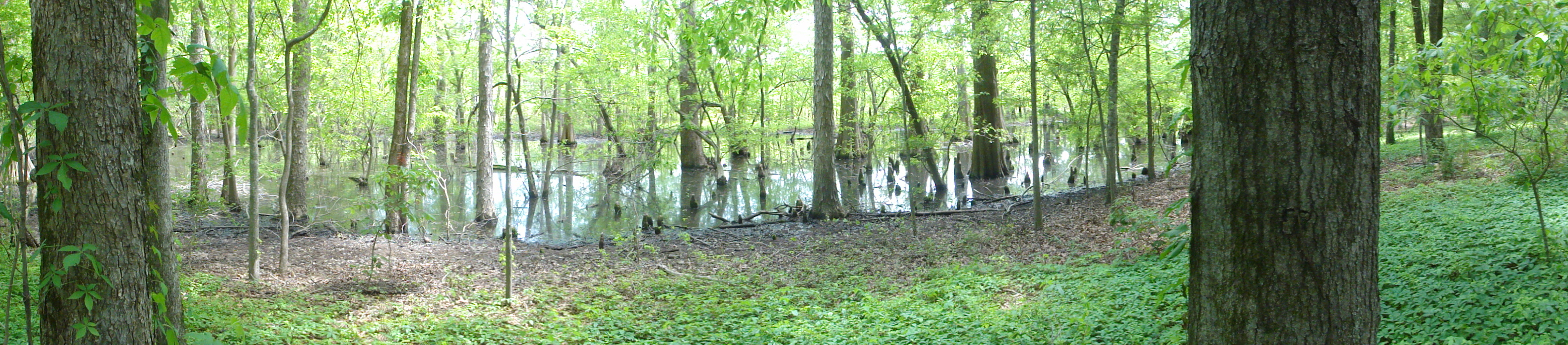
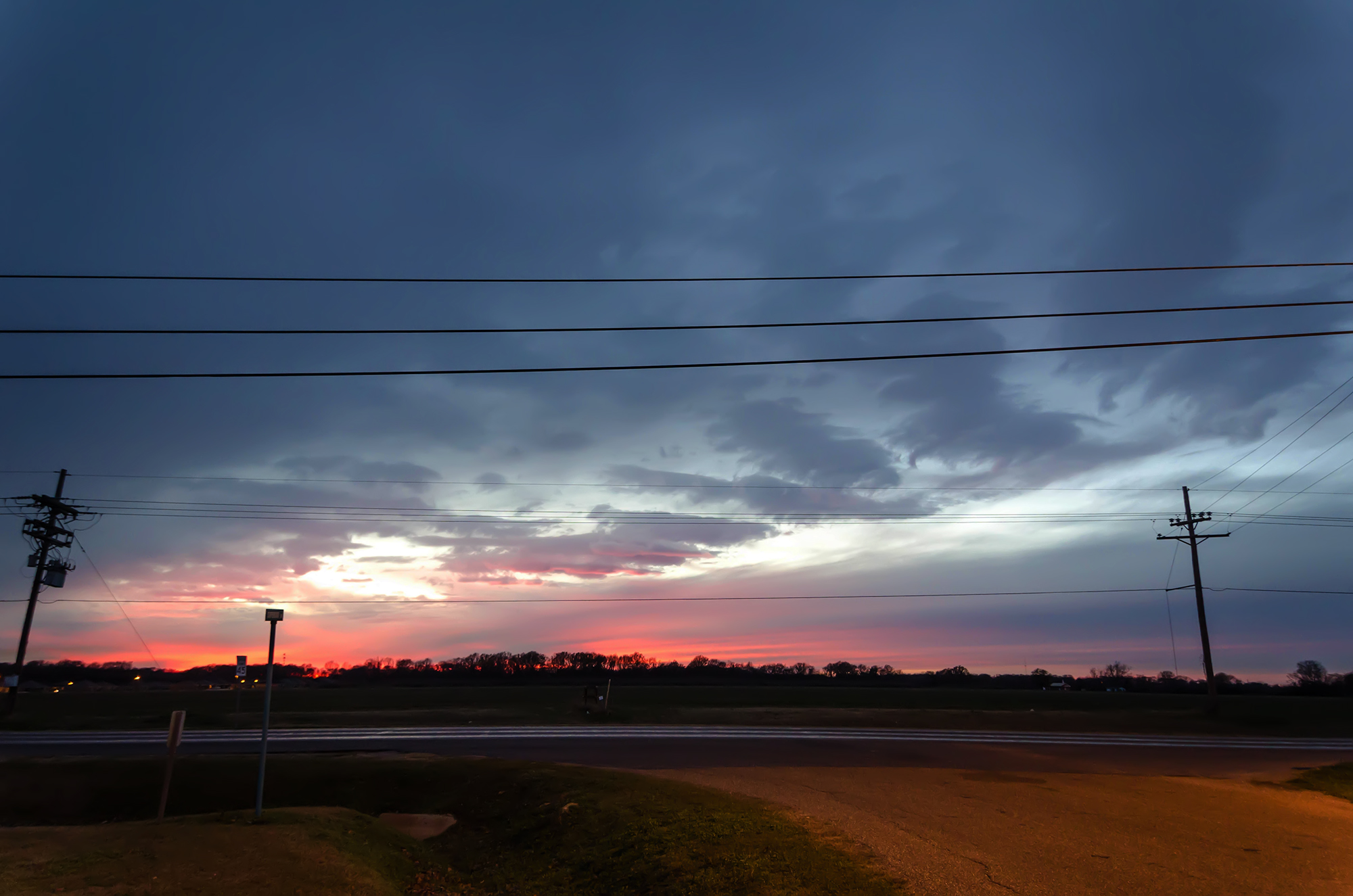
Bayou Panorama

Fire in the woods across from my parent's house.
School of Hard Knees
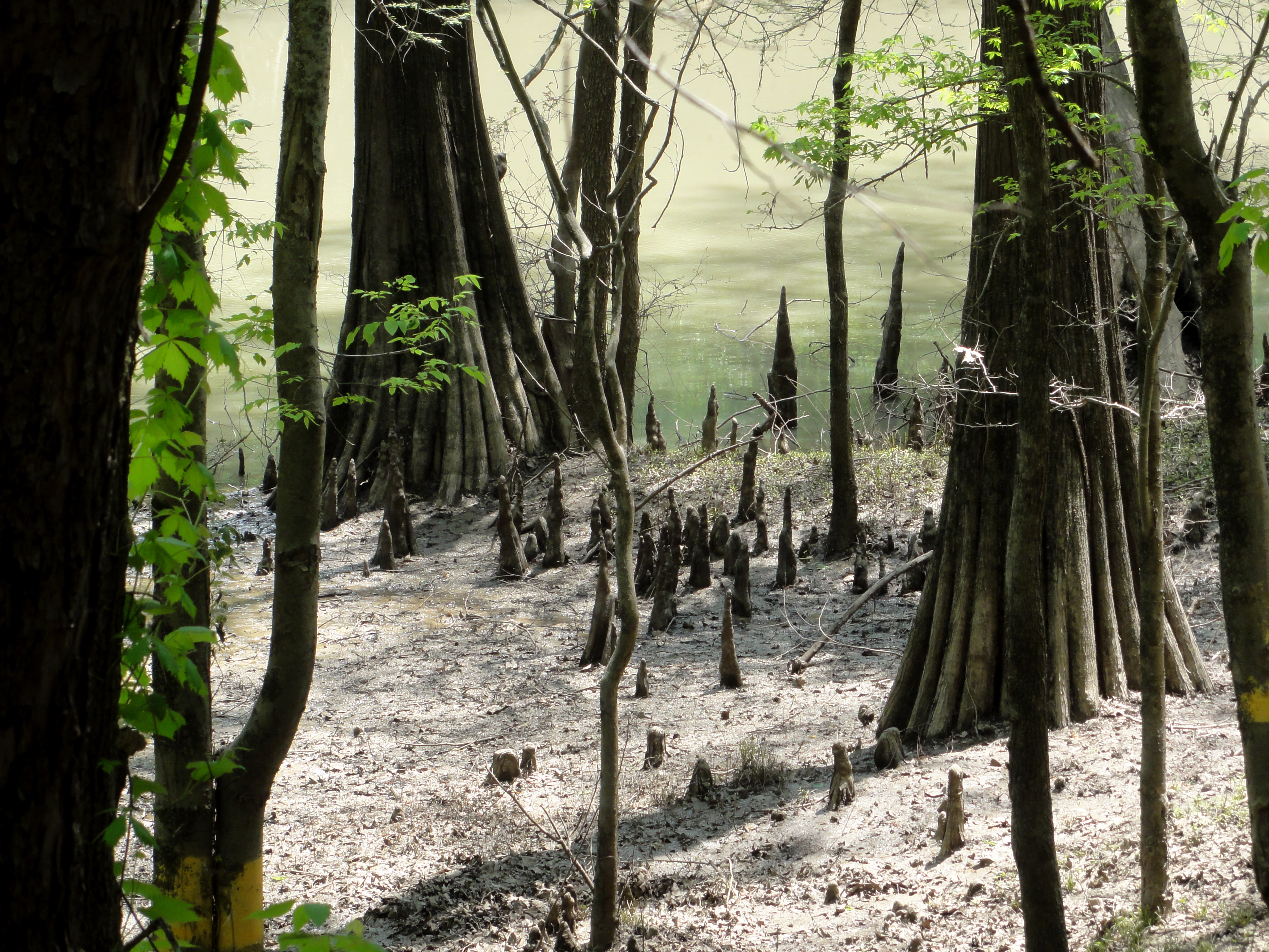
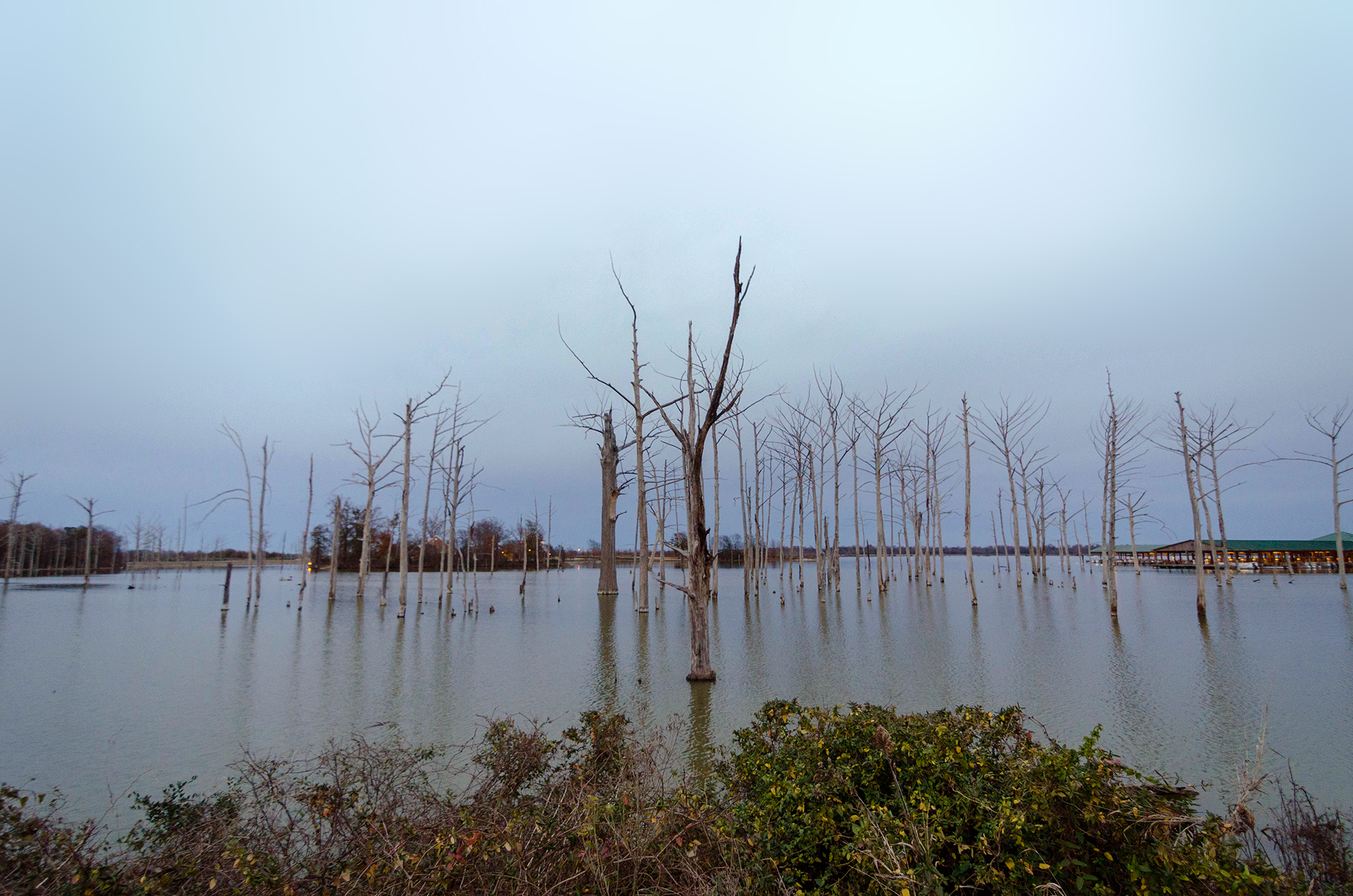
Down to the Bayou
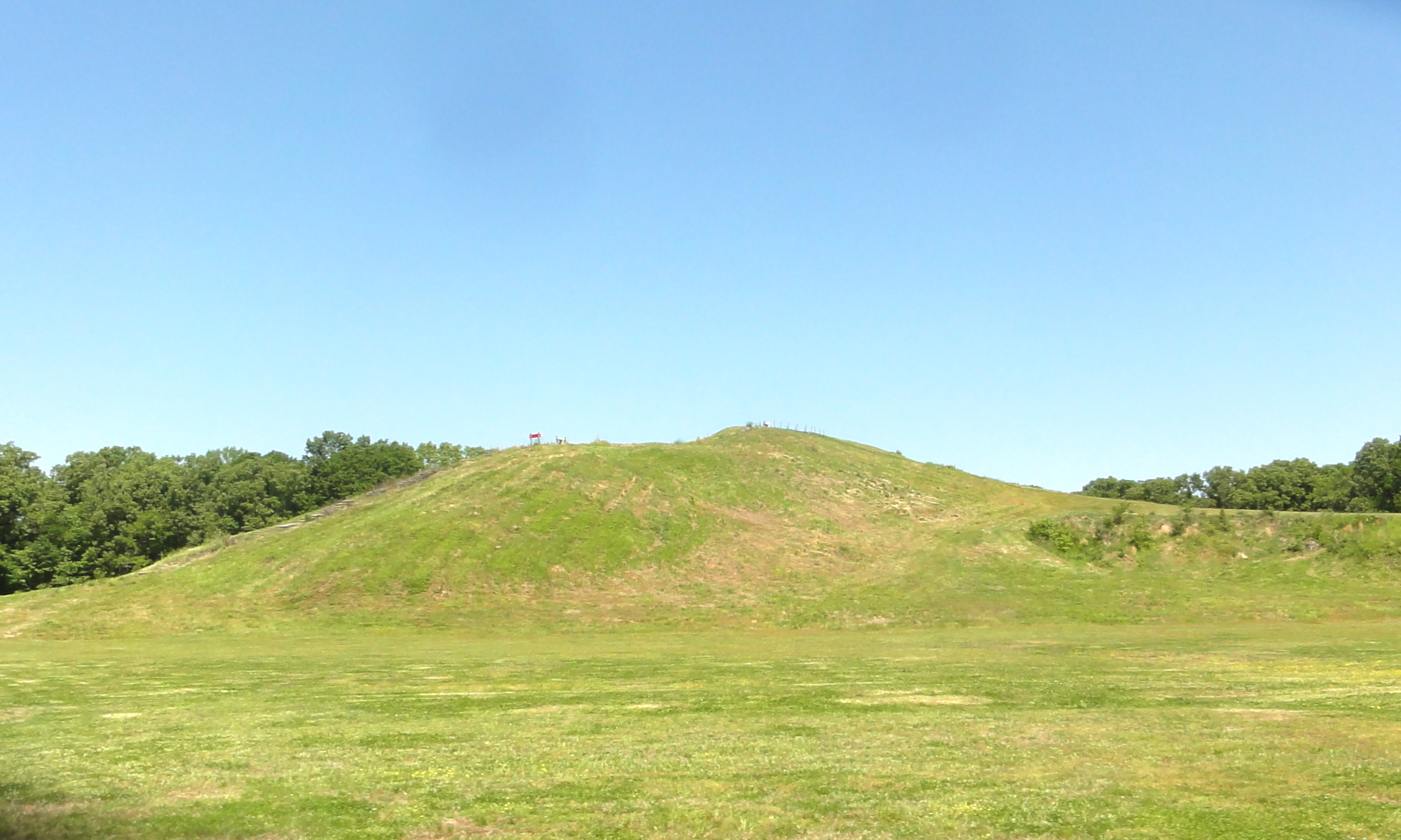
Bird Mound
Drive-By Landscapes

Mystery Circle
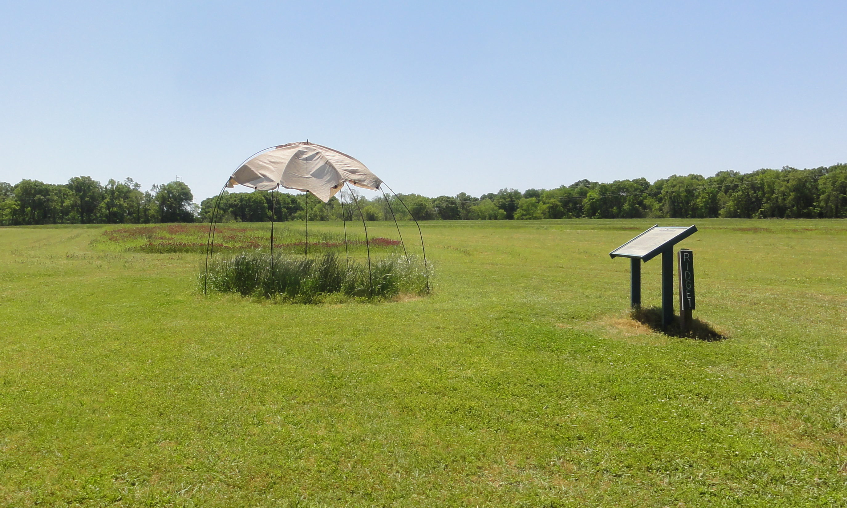
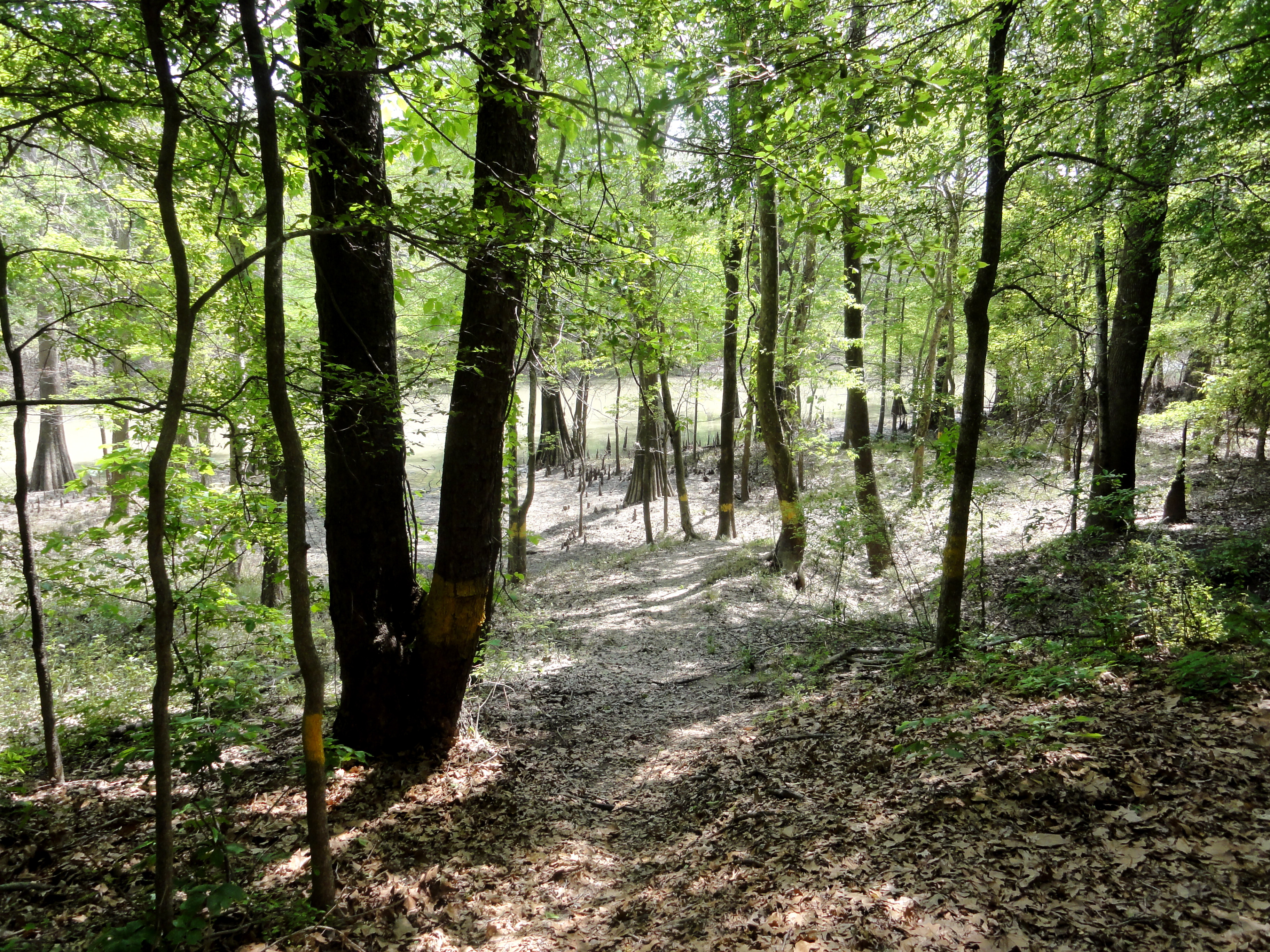
Ridge 1
Drive-By Landscapes

Delhi Municipal Baseball Park- Delhi LA
Topographic Map of Poverty Point Reservoir State, Poverty Point Pkwy, Delhi, LA, USA
Find elevation by address:

Places near Poverty Point Reservoir State, Poverty Point Pkwy, Delhi, LA, USA:
W 1st St, Delhi, LA, USA
1, LA, USA
US-80, Delhi, LA, USA
LA-, Epps, LA, USA
US-80, Rayville, LA, USA
A
Poverty Point
3, LA, USA
Poverty Point State Historic Site
US-80, Rayville, LA, USA
182 Seale Rd
Pioneer
Rayville
Harrison St, Rayville, LA, USA
West Carroll Parish
State Rte, Oak Grove, LA, USA
Richland Parish
US-80, Rayville, LA, USA
Cherry St, Forest, LA, USA
345 Lord Rd
Recent Searches:
- Elevation of Corso Fratelli Cairoli, 35, Macerata MC, Italy
- Elevation of Tallevast Rd, Sarasota, FL, USA
- Elevation of 4th St E, Sonoma, CA, USA
- Elevation of Black Hollow Rd, Pennsdale, PA, USA
- Elevation of Oakland Ave, Williamsport, PA, USA
- Elevation of Pedrógão Grande, Portugal
- Elevation of Klee Dr, Martinsburg, WV, USA
- Elevation of Via Roma, Pieranica CR, Italy
- Elevation of Tavkvetili Mountain, Georgia
- Elevation of Hartfords Bluff Cir, Mt Pleasant, SC, USA