Elevation of Pottsgrove, PA, USA
Location: United States > Pennsylvania > Montgomery County > Lower Pottsgrove Township >
Longitude: -75.61185
Latitude: 40.2648195
Elevation: 80m / 262feet
Barometric Pressure: 100KPa
Elevation Map:
Satellite Map:
Related Photos:

Wooden Wheelchair
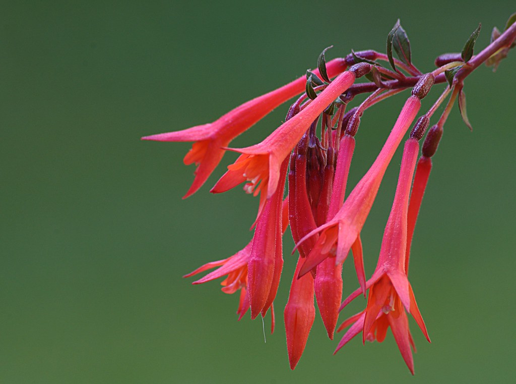
Lady's Eardrops

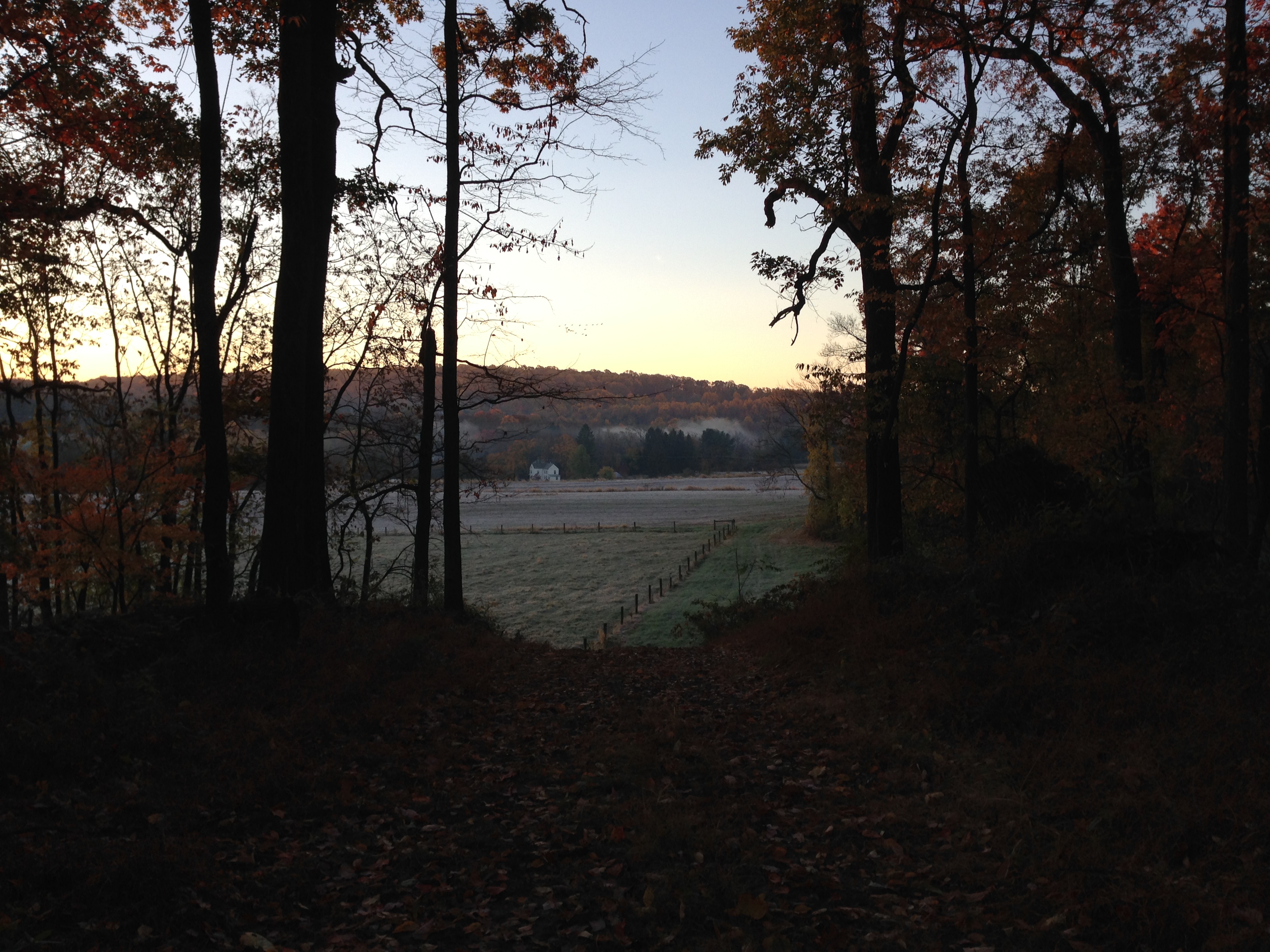
meadow view
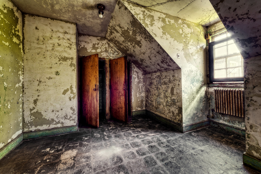
Nurse's Room
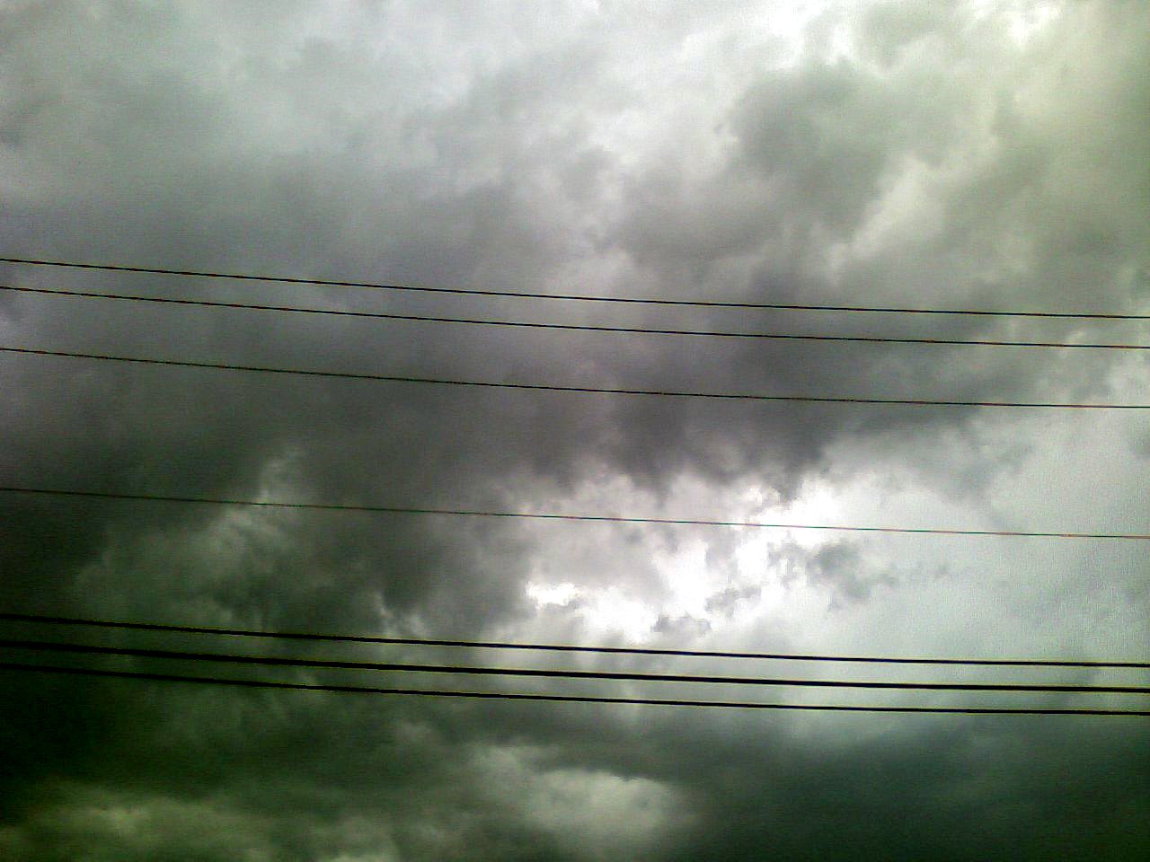
View of a thunderstorm, from my car

View of a thunderstorm, from my car
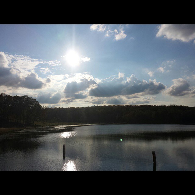
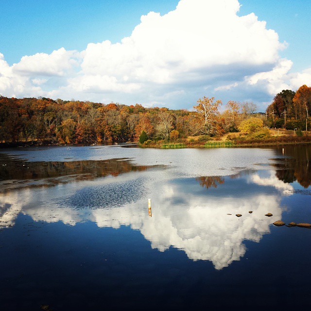
Another lake view from Green Lane

Vivid Macrame Yarn
My View On The Way To Work
Laurel Locks Farm

Marigold Petal Macro

View from my car, heading north on Rte. PA-113 south of Trappe, PA

Laurel Locks Farm
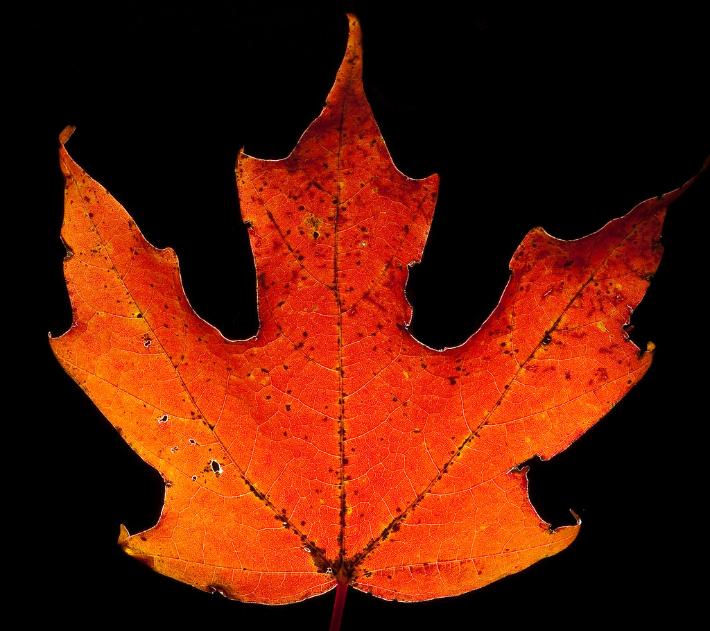
The hunt for red October
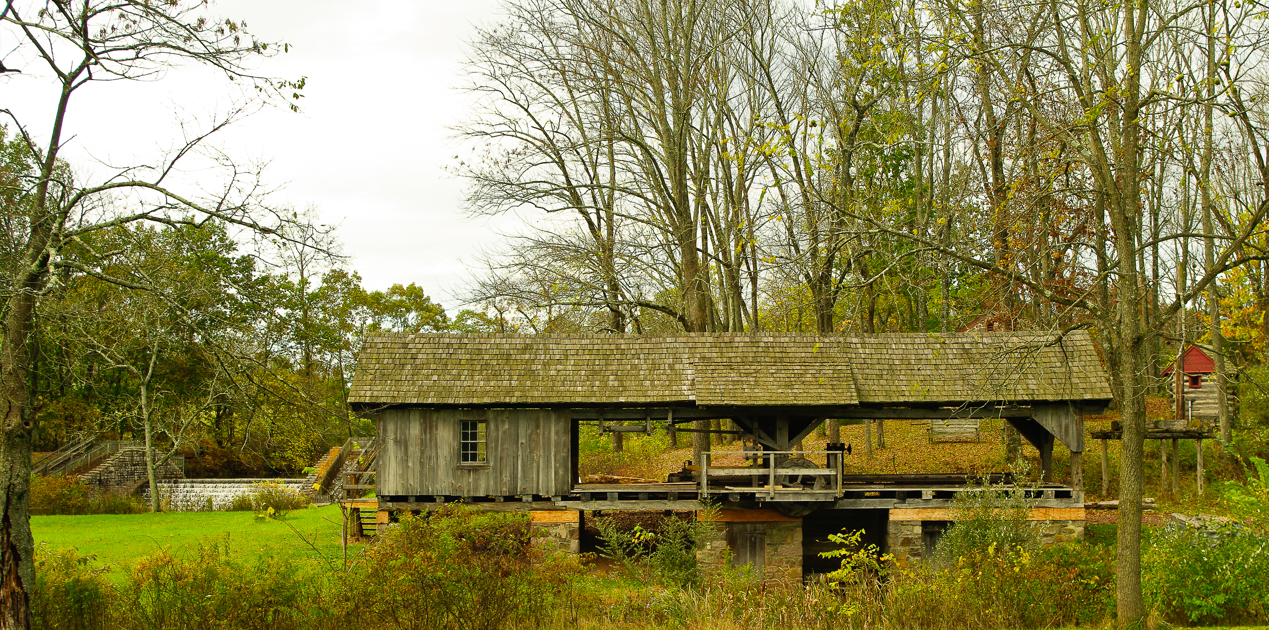
Bertolet Saw Mill - another view
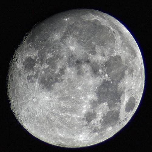
Almost a full moon
A Room with a View at The Barracks

The Orange and the Green

Day Lilly bubble macro
fall landscape_upper salford park

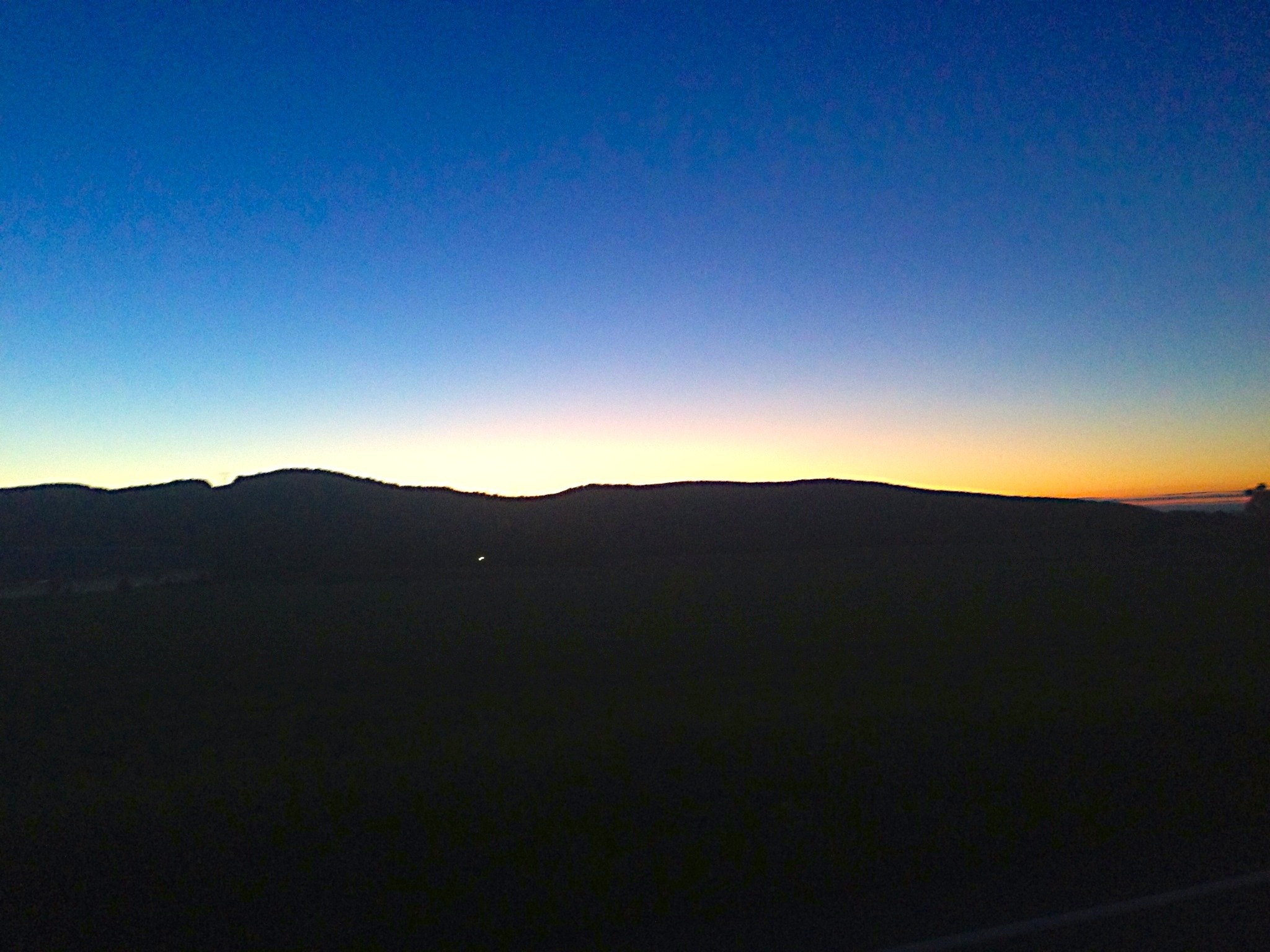
Morning Glow

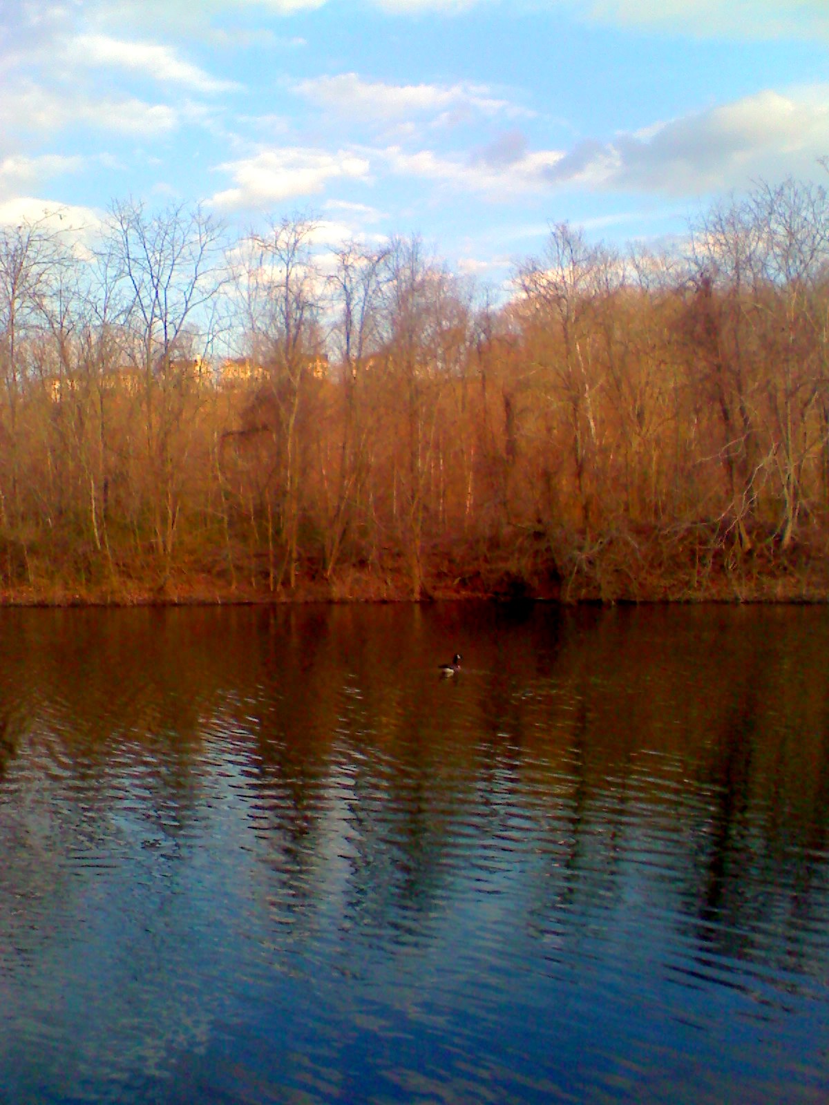
Deer on Green Lane
perkiomen_old warehouse1
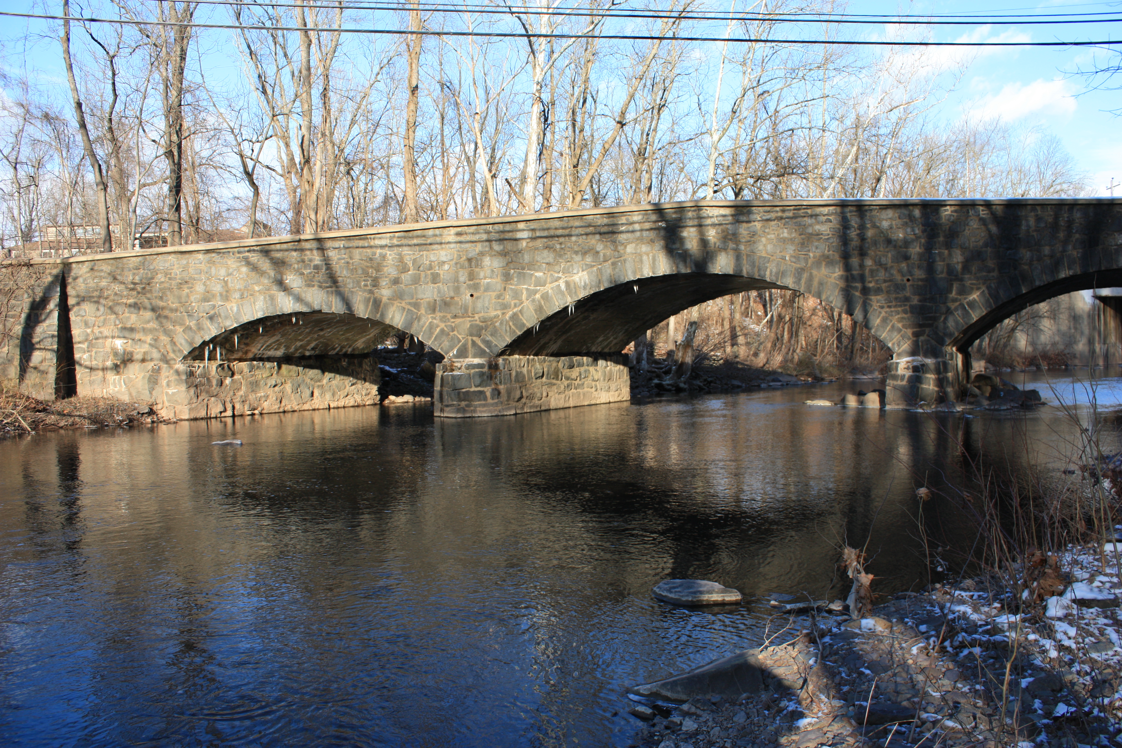
perkiomen bridge1

doe and 2 fawns

Backyardwaterfall-2012-12-21
Black Rock Sanctuary
St Peters-170.jpg
A little photography session at Green Lane. #reflection #Autumn #fall
29/365 - Path More Traveled
black rock sanctuary

Open Field & Occluded Sun
SunRise Mill

IMG_9697.JPG

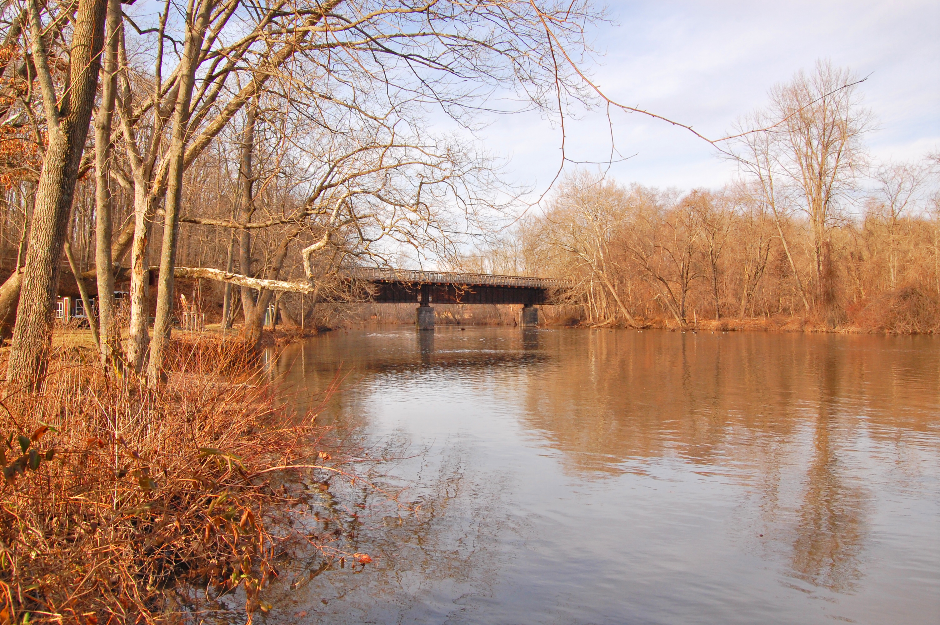
Griesemer's Mill Bridge over Manatawny Creek
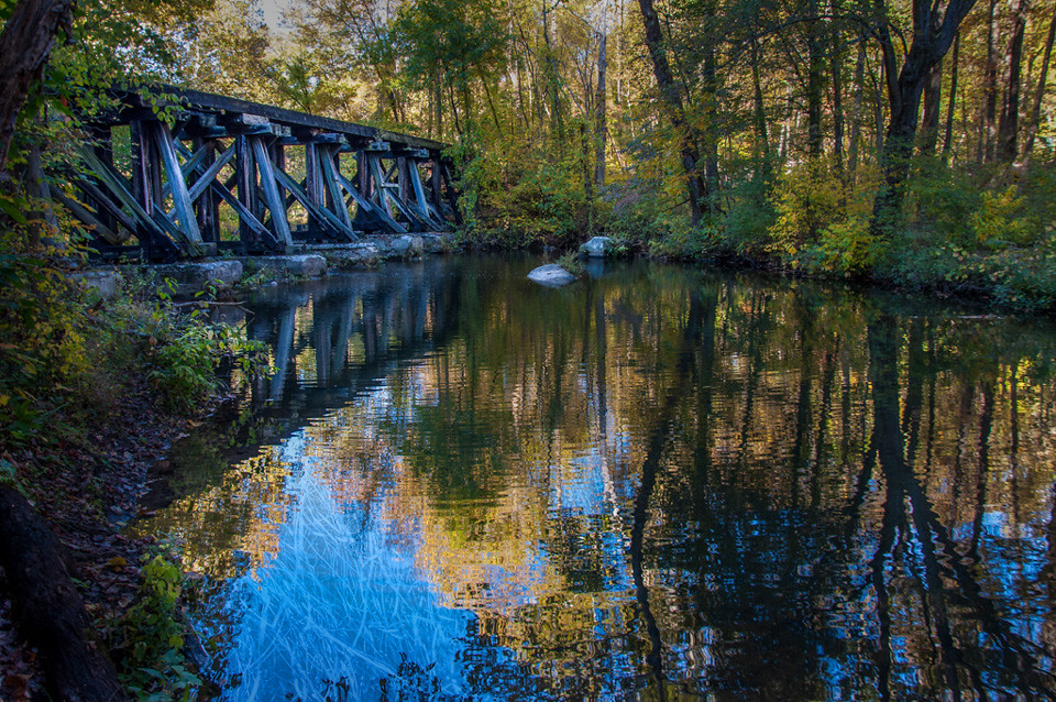
Old Route 29 Bridge over Swamp Creek
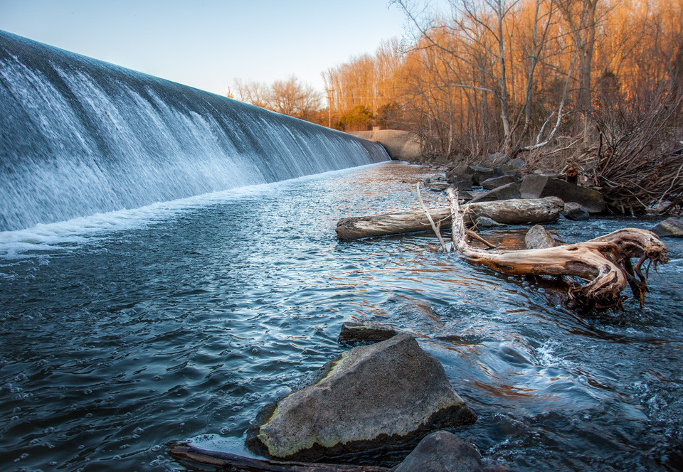
Dam At Green Lane.jpg
Old Route 29 Bridge
Snuck one more in.

Green with Snow

Timothy in evening light
Topographic Map of Pottsgrove, PA, USA
Find elevation by address:

Places near Pottsgrove, PA, USA:
1625 N Valley Rd
2224 N Charlotte St
1994 Quail Ln
1367 Meadowview Dr
853 N Franklin St
111 Specht Rd
Upper Pottsgrove Township
533 Bow Ln
Farmington Ave, Pottstown, PA, USA
527 N York St
303 Gilbertsville Rd
160 Aspen Ln
598 Evans Rd
Manatawny St, Pottstown, PA, USA
Gilbertsville
79 Douglas St
Union Cemetery
Boyertown
101 W 6th St
Douglass Township
Recent Searches:
- Elevation of Corso Fratelli Cairoli, 35, Macerata MC, Italy
- Elevation of Tallevast Rd, Sarasota, FL, USA
- Elevation of 4th St E, Sonoma, CA, USA
- Elevation of Black Hollow Rd, Pennsdale, PA, USA
- Elevation of Oakland Ave, Williamsport, PA, USA
- Elevation of Pedrógão Grande, Portugal
- Elevation of Klee Dr, Martinsburg, WV, USA
- Elevation of Via Roma, Pieranica CR, Italy
- Elevation of Tavkvetili Mountain, Georgia
- Elevation of Hartfords Bluff Cir, Mt Pleasant, SC, USA