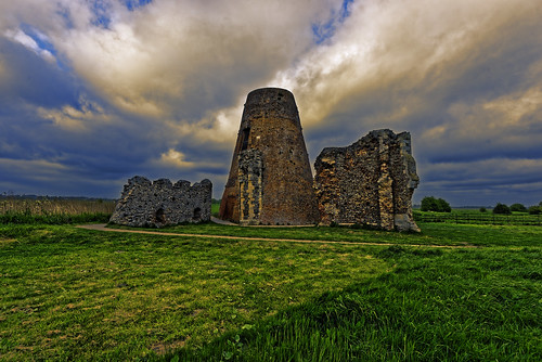
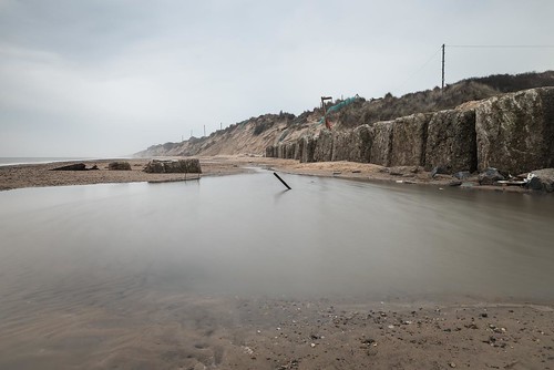
Elevation of Potter Heigham, Great Yarmouth NR29, UK
Location: United Kingdom > Norfolk >
Longitude: 1.573341
Latitude: 52.7228319
Elevation: 5m / 16feet
Barometric Pressure: 101KPa
Related Photos:
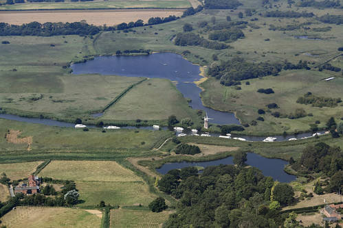
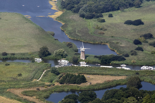
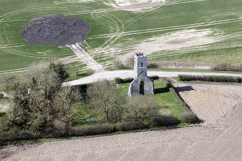
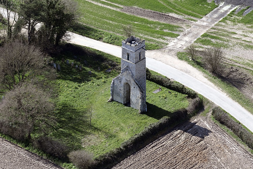
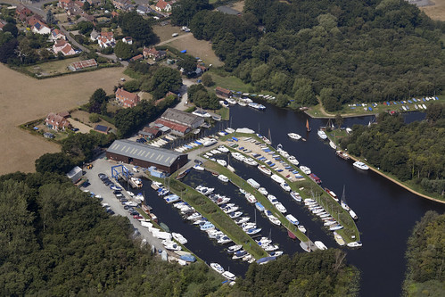
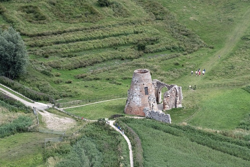
River Ant flowing between Reedham Water & Marsh to the west (upper image) and How Hill National Nature Reserve to the east (lower) - Norfolk Broads aerial image
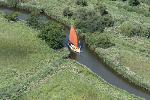
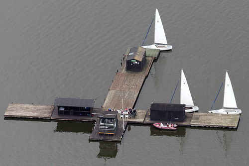
Dreamtime 30’ Traditional Norfolk Broads Sailing Yacht - sailing along Meadow Dyke linking Hickling Broad to Horsey Mere - Norfolk Broads aerial image
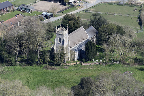
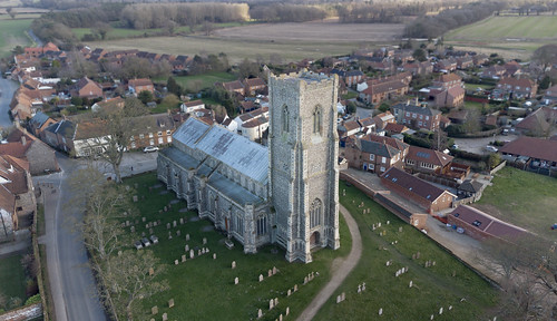
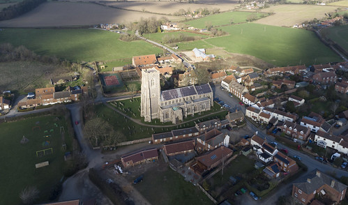
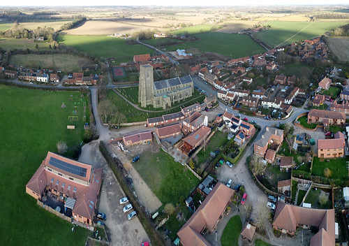
Beighton aerial image - All Saints Church. Who are the figures on top of the tower? See Mike's answers in the comments below!
Topographic Map of Potter Heigham, Great Yarmouth NR29, UK
Find elevation by address:

Places near Potter Heigham, Great Yarmouth NR29, UK:
Thurne
Ludham
Ludham
4 Woodstock Way
How Hill
Nr13 6bw
Upton
Habgood Close
Habgood Close
6 Croft Hill
4 Market Rd
Acle
Ranworth
11 Priory Rd, Ranworth, Norwich NR13 6HT, UK
Tunstall
Low Farm Road
22 Common Rd
16 Common Rd
Somerton Road
4 Waters Ln
Recent Searches:
- Elevation of Corso Fratelli Cairoli, 35, Macerata MC, Italy
- Elevation of Tallevast Rd, Sarasota, FL, USA
- Elevation of 4th St E, Sonoma, CA, USA
- Elevation of Black Hollow Rd, Pennsdale, PA, USA
- Elevation of Oakland Ave, Williamsport, PA, USA
- Elevation of Pedrógão Grande, Portugal
- Elevation of Klee Dr, Martinsburg, WV, USA
- Elevation of Via Roma, Pieranica CR, Italy
- Elevation of Tavkvetili Mountain, Georgia
- Elevation of Hartfords Bluff Cir, Mt Pleasant, SC, USA
