Elevation of Posey Township, IN, USA
Location: United States > Indiana > Washington County >
Longitude: -86.195516
Latitude: 38.4444453
Elevation: 222m / 728feet
Barometric Pressure: 99KPa
Elevation Map:
Satellite Map:
Related Photos:
Livonia Presbyterian Church

Smoke House
Death Throes
Colors of Spring
Southern Indiana Farmland

Splash of Color
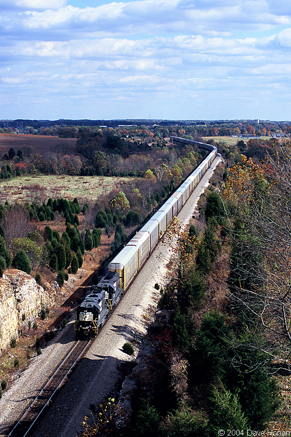
NS 5047 on 25A - Fairdale, IN
Waiting For Supper
Small Town Living
And the Snow Came Down...
Go With the Flow

Overhead view of Salem, Indiana, with Indiana State Road 135 (center, bottom to top) and State Road 60 (middle left to bottom right) as well as Salem Municipal Airport and Salem Speedway (near left middle)

Another view of weathered tombstone
Broad View
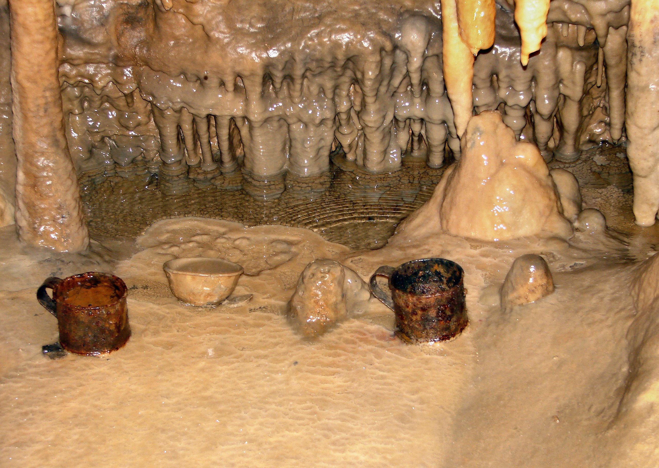
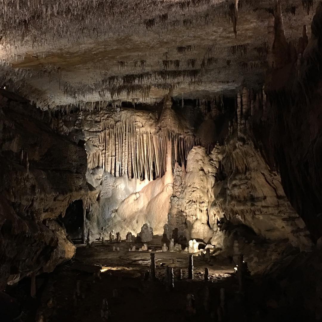
Cave Cups

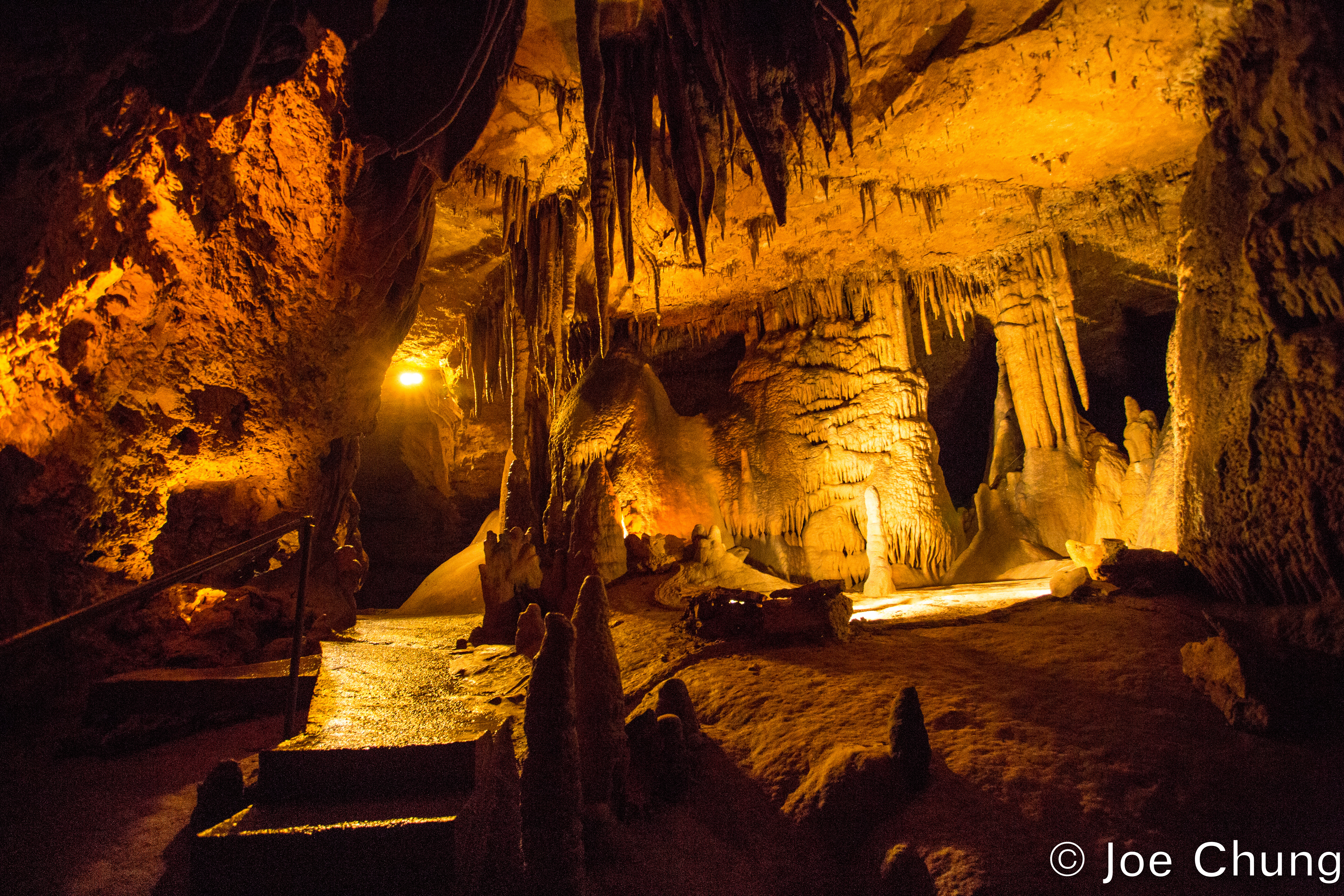
2015 Marengo Cave (1)
What Lies Beneath
Crystal Palace

Spider Web

1/20th

Stalactites come down and hold on "tight" Stalagmites grow up and they "might" reach the top. #tips now back to the distilleries.
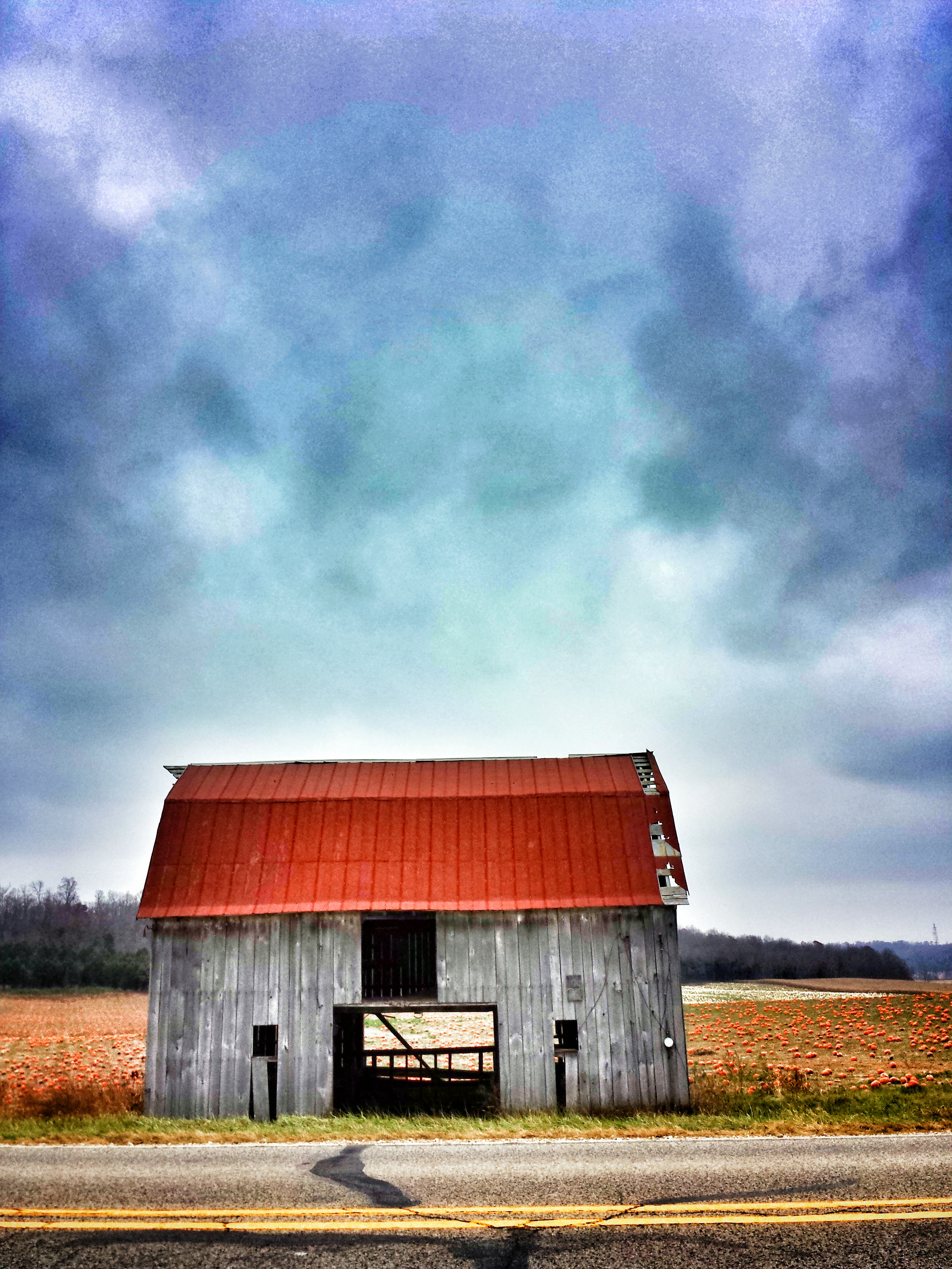
Hoosier fields
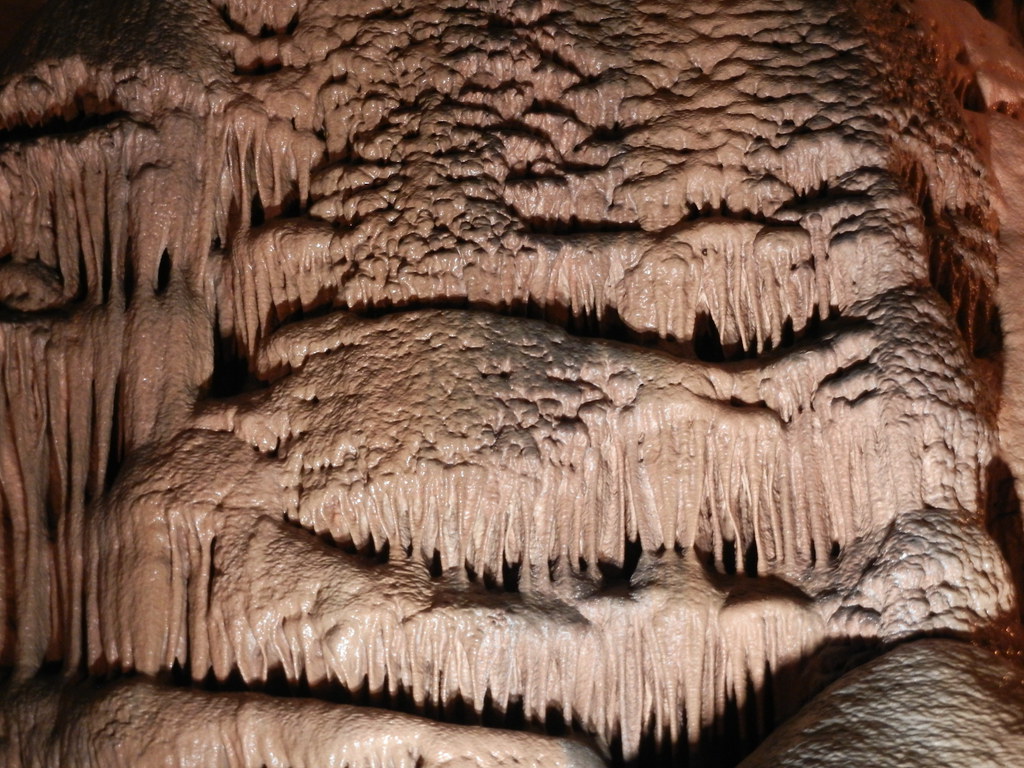
Cave Formation

Angel by the Church

9.13.2009 Marengo Caves, IN (169)
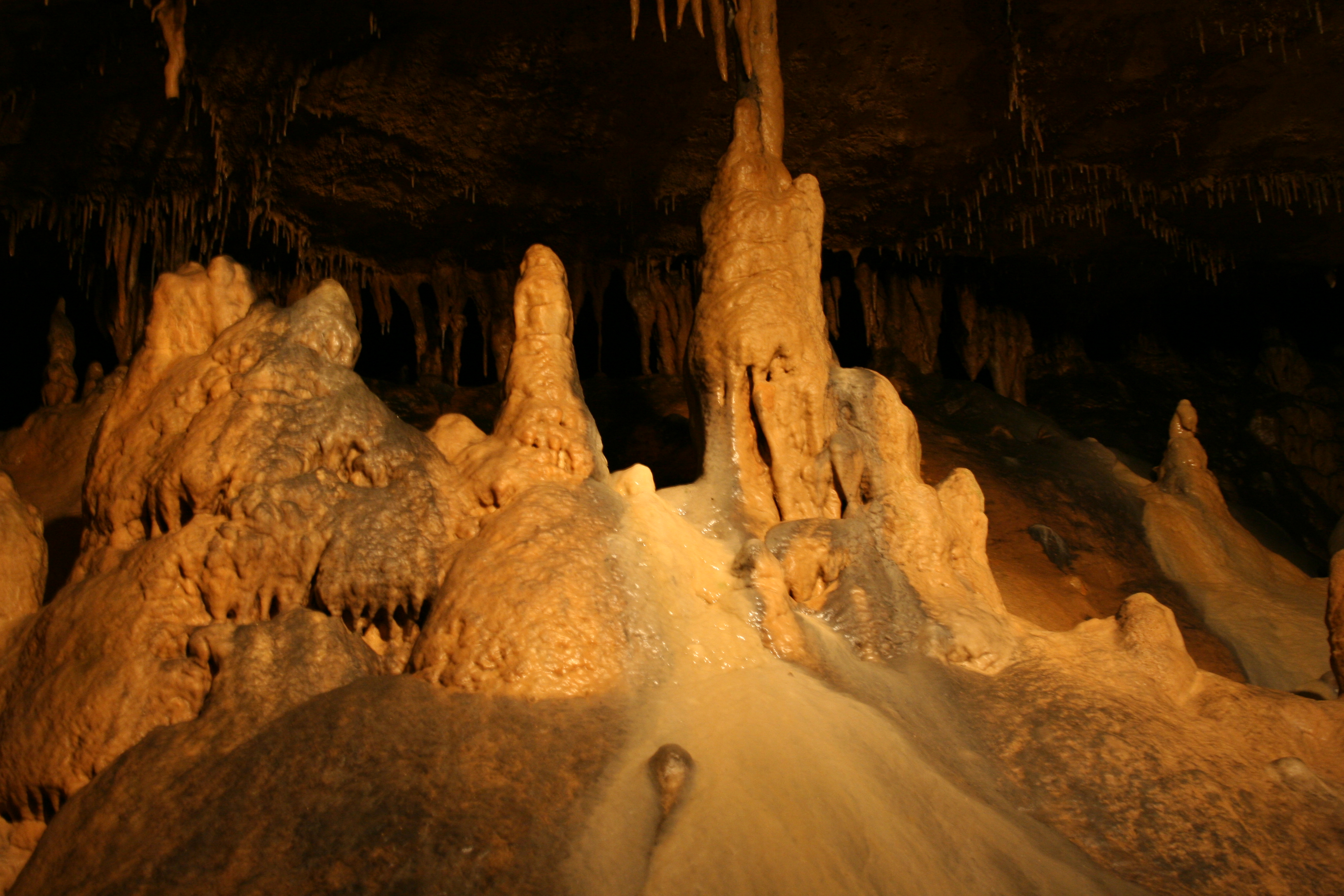
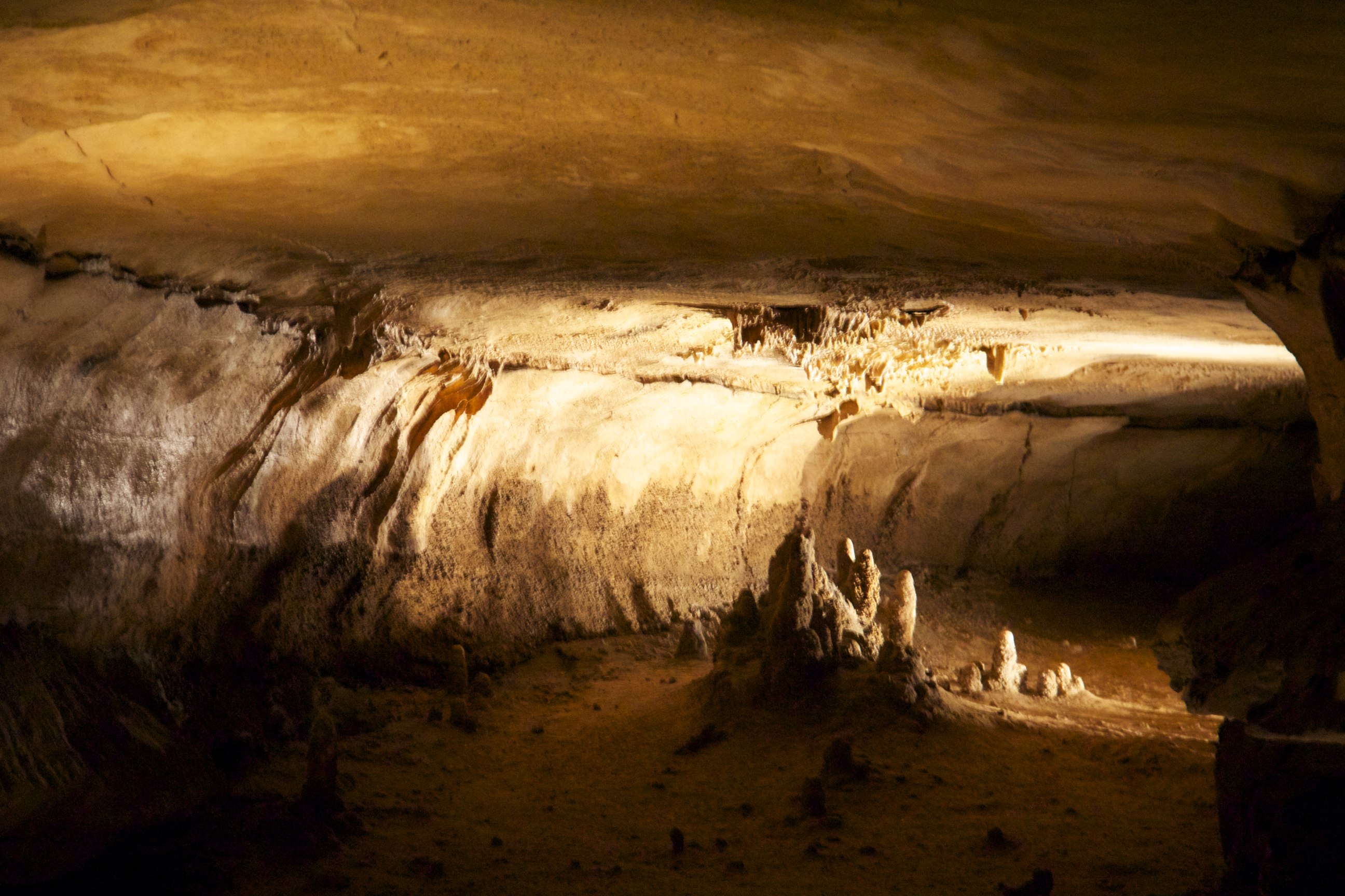
Marengo Cave Formations

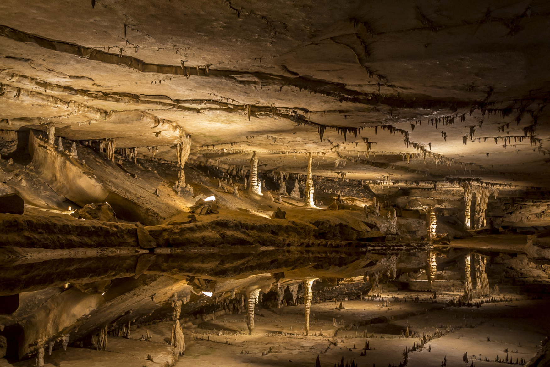
Marengo Cave Mirror Lake

Fantastic Speleothems
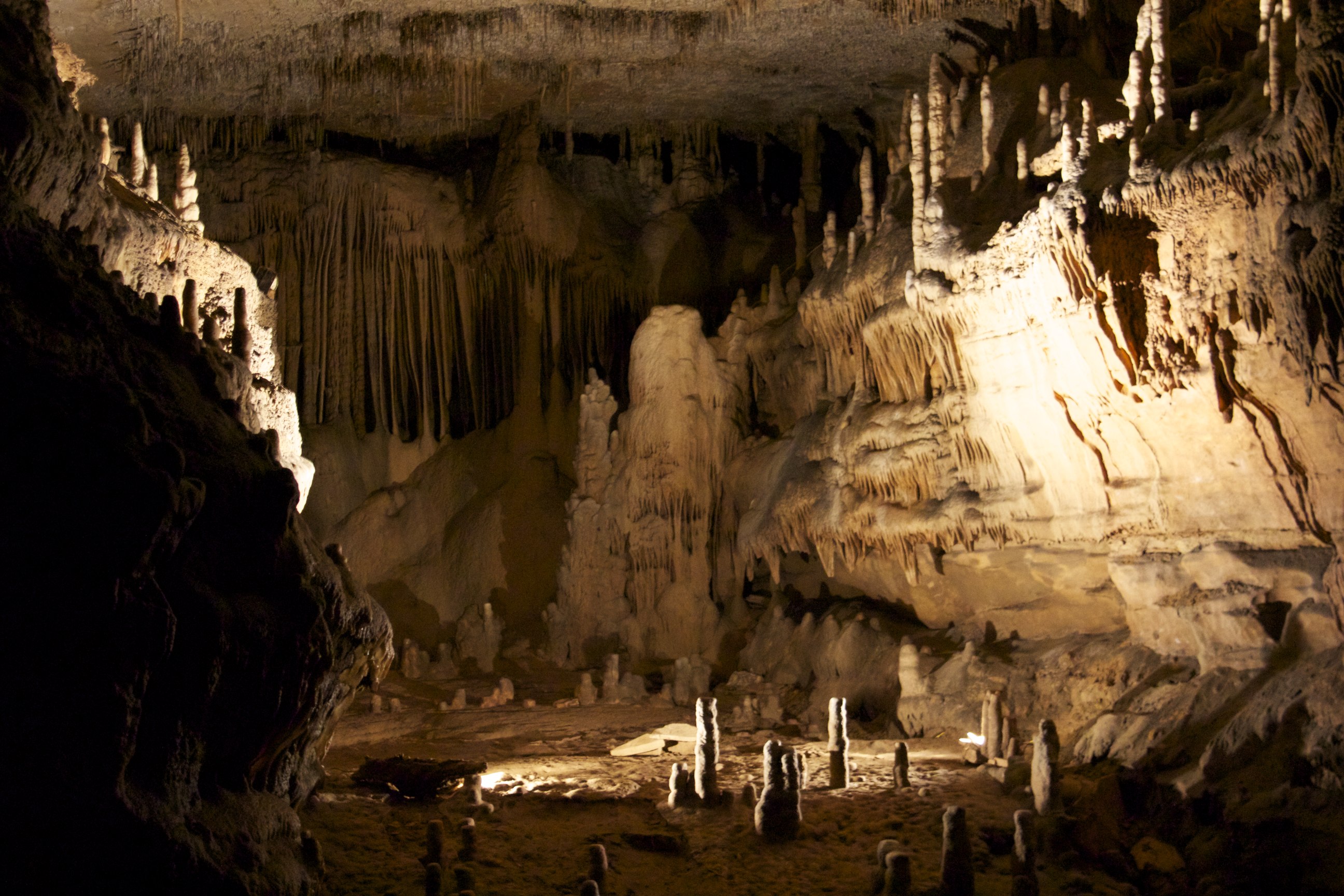
Cave formations
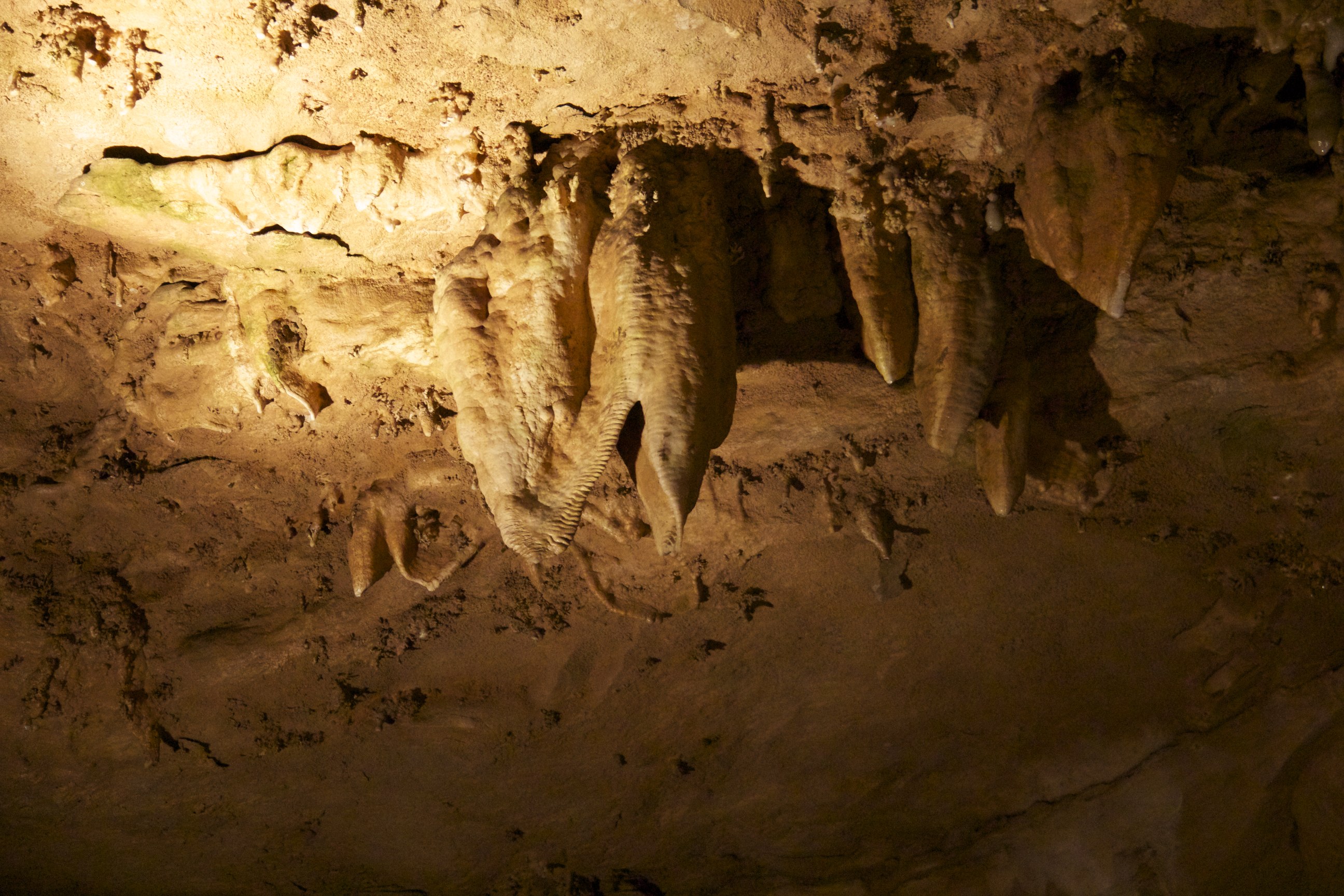
Cave Formation
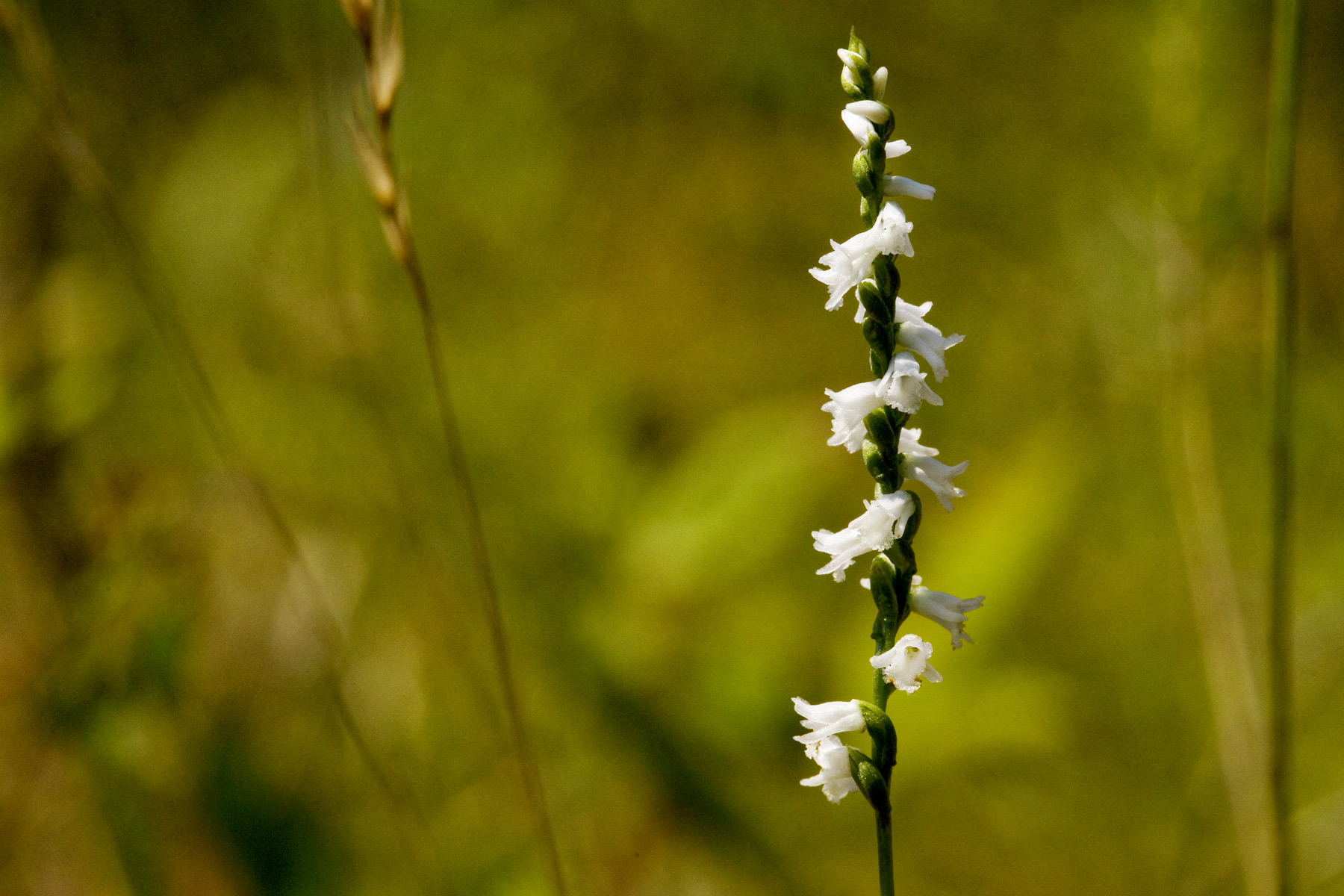
Spiranthes tuberosa

Norfolk Southern
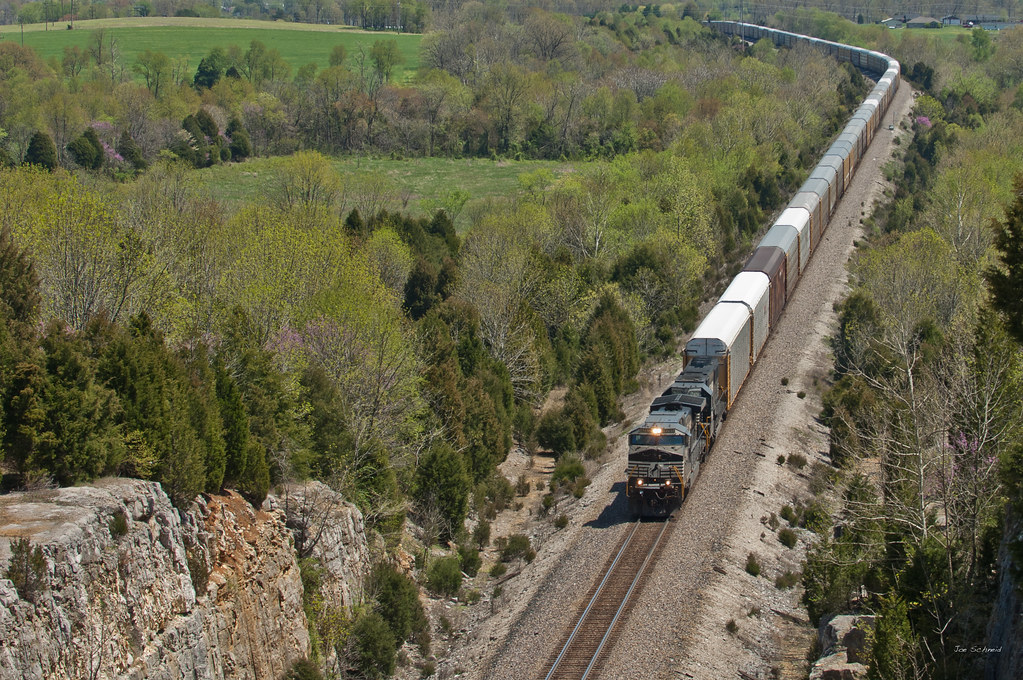
Norfolk Southern

Becks new mill

fence over the rock shelter
Topographic Map of Posey Township, IN, USA
Find elevation by address:

Places in Posey Township, IN, USA:
Places near Posey Township, IN, USA:
Fredericksburg
11 S Posey St, Fredericksburg, IN, USA
Clarks Ford, Milltown, IN, USA
Clarks Ford
Clarks Ford
Blue River Township
N Maple St, Hardinsburg, IN, USA
Hardinsburg
IN-, Depauw, IN, USA
Depauw
Milltown
Poplar St, Milltown, IN, USA
7707 S County Rd 675 E
7707 S County Rd 675 E
Whiskey Run Township
East Stonecipher Road
Marengo
S Main St, Marengo, IN, USA
Milltown, IN, USA
Liberty Township
Recent Searches:
- Elevation of Corso Fratelli Cairoli, 35, Macerata MC, Italy
- Elevation of Tallevast Rd, Sarasota, FL, USA
- Elevation of 4th St E, Sonoma, CA, USA
- Elevation of Black Hollow Rd, Pennsdale, PA, USA
- Elevation of Oakland Ave, Williamsport, PA, USA
- Elevation of Pedrógão Grande, Portugal
- Elevation of Klee Dr, Martinsburg, WV, USA
- Elevation of Via Roma, Pieranica CR, Italy
- Elevation of Tavkvetili Mountain, Georgia
- Elevation of Hartfords Bluff Cir, Mt Pleasant, SC, USA