Elevation of Pontoise, France
Location: France > Île-de-france > Val-d'oise >
Longitude: 2.100645
Latitude: 49.050966
Elevation: 50m / 164feet
Barometric Pressure: 101KPa
Elevation Map:
Satellite Map:
Related Photos:
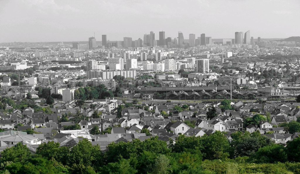
Oise Pano

Le Quartier de Four à Auvers-sur-Oise (P Cézanne - R 198)
Little big planet
360° view of l'axe majeur, Cergy France
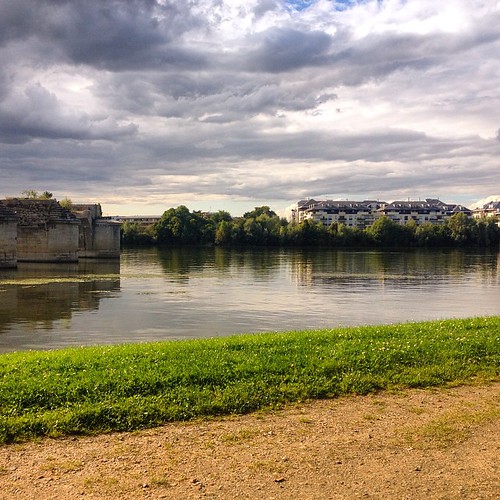
Over the bridge
Urban nature
Nice view of #Poissy next to the train &bus station #iledefrance #France last saturday ;-) contemplation while I was waiting for the bus !
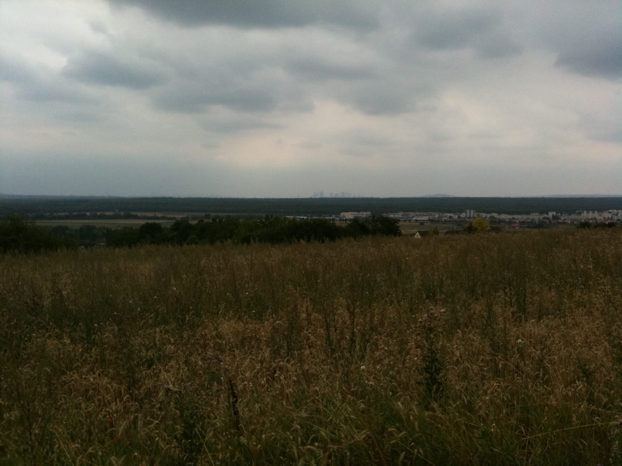
Point de vue
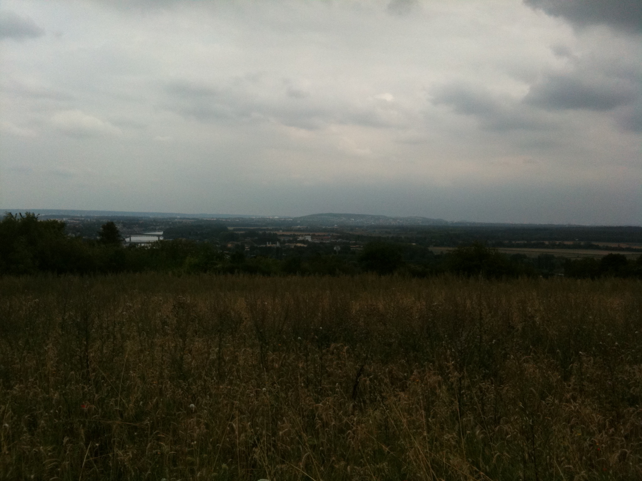
Point de vue
Topographic Map of Pontoise, France
Find elevation by address:

Places in Pontoise, France:
Places near Pontoise, France:
2 Avenue Redouane Bougara, Pontoise, France
Osny
17 Rue Des Patis
Val-d'oise
13 Rue des Aulnes, Osny, France
Jouy-le-moutier
4 Impasse Hoche, Maurecourt, France
Maurecourt
Auvers-sur-oise
49 Rue De L'orme Macaire
11 Rue Jean Xxiii
Andrésy
23 Rue De La Tournade
Herblay
6 Mail Du Fanesson
5 Rue Gabriel Fauré, Jouy-le-Moutier, France
135 Quai De Seine
123 Quai De Seine
120 Quai De Seine
109 Quai De Seine
Recent Searches:
- Elevation of Corso Fratelli Cairoli, 35, Macerata MC, Italy
- Elevation of Tallevast Rd, Sarasota, FL, USA
- Elevation of 4th St E, Sonoma, CA, USA
- Elevation of Black Hollow Rd, Pennsdale, PA, USA
- Elevation of Oakland Ave, Williamsport, PA, USA
- Elevation of Pedrógão Grande, Portugal
- Elevation of Klee Dr, Martinsburg, WV, USA
- Elevation of Via Roma, Pieranica CR, Italy
- Elevation of Tavkvetili Mountain, Georgia
- Elevation of Hartfords Bluff Cir, Mt Pleasant, SC, USA