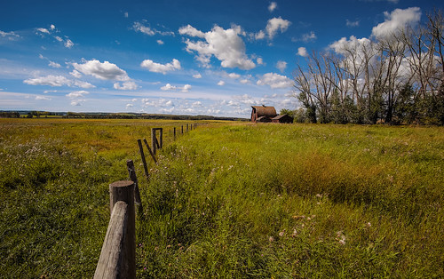
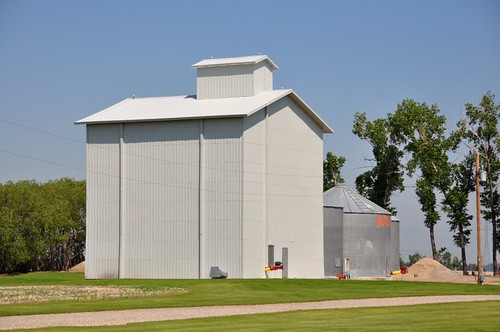
Elevation map of Ponoka County, AB, Canada
Location: Canada > Alberta > Division No. 8 >
Longitude: -113.92526
Latitude: 52.7336448
Elevation: 880m / 2887feet
Barometric Pressure: 91KPa
Related Photos:
Topographic Map of Ponoka County, AB, Canada
Find elevation by address:

Places in Ponoka County, AB, Canada:
Places near Ponoka County, AB, Canada:
Westerose
9 Village Dr
9 Village Dr
9 Village Dr
Range Rd 15, Wetaskiwin County No. 10, AB T0C 2V0, Canada
Rimbey
Mulhurst
21 59 Ave, Mulhurst, AB T0C 2C0, Canada
Argentia Beach
31a
Pigeon Lake
Golden Days
Golden Days
Golden Days
Golden Days
Golden Days
Golden Days
Golden Days
Golden Days
Sundance Beach
Recent Searches:
- Elevation of Corso Fratelli Cairoli, 35, Macerata MC, Italy
- Elevation of Tallevast Rd, Sarasota, FL, USA
- Elevation of 4th St E, Sonoma, CA, USA
- Elevation of Black Hollow Rd, Pennsdale, PA, USA
- Elevation of Oakland Ave, Williamsport, PA, USA
- Elevation of Pedrógão Grande, Portugal
- Elevation of Klee Dr, Martinsburg, WV, USA
- Elevation of Via Roma, Pieranica CR, Italy
- Elevation of Tavkvetili Mountain, Georgia
- Elevation of Hartfords Bluff Cir, Mt Pleasant, SC, USA


