Elevation of Pointe de Serre, Réallon, France
Location: France > Provence-alpes-côte D'azur > Hautes-alpes > Réallon >
Longitude: 6.399168
Latitude: 44.619244
Elevation: 2833m / 9295feet
Barometric Pressure: 72KPa
Elevation Map:
Satellite Map:
Related Photos:
the lake
in front II
counting sheep

Dormillouse Village
Lac de Serre-Ponçon

in the shadow of the mountains
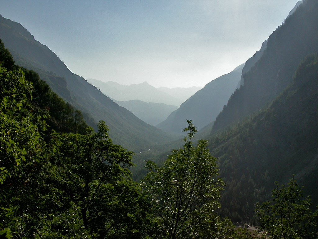
French Alps - glacial valley
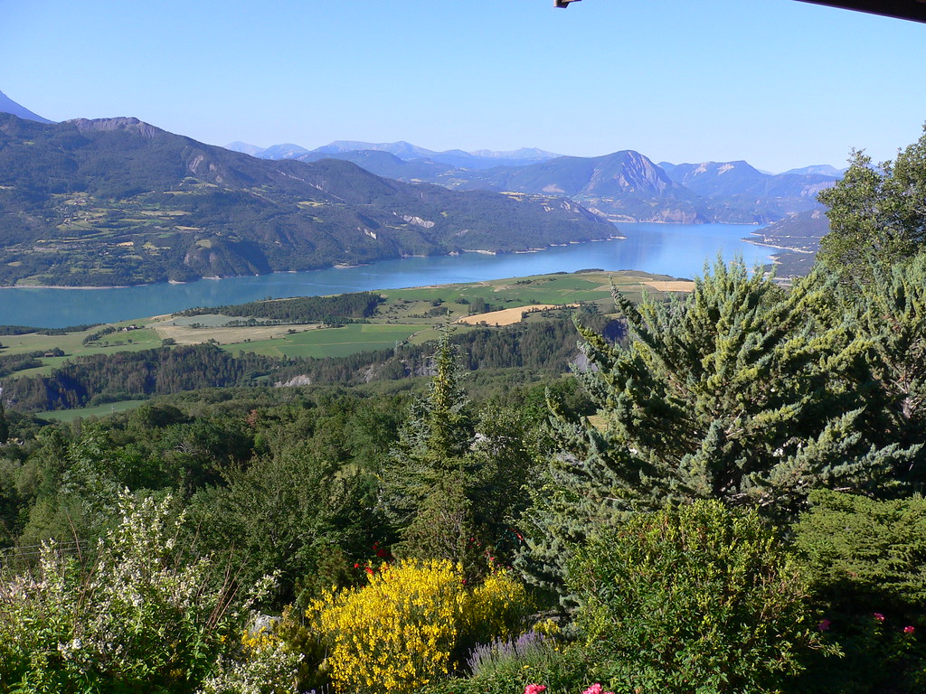
Lake Serre-Ponçon (French Alps)

View of the Alps from Embrun
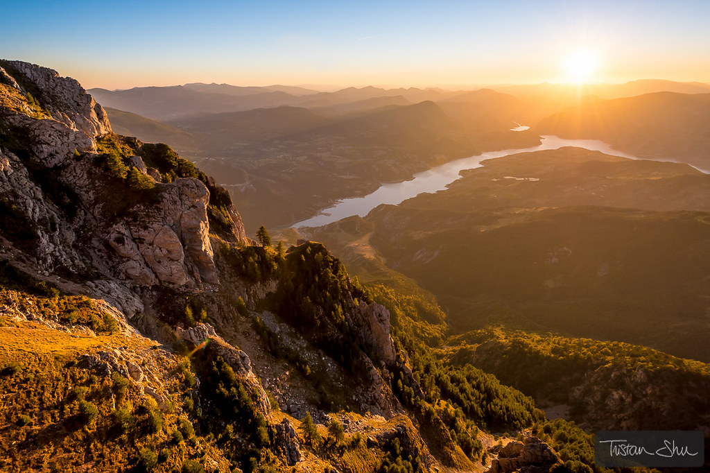
Coucher de soleil sur le pic du Morgon

Op de berg
Topographic Map of Pointe de Serre, Réallon, France
Find elevation by address:

Places near Pointe de Serre, Réallon, France:
Pic De Pied Brun
Réallon
Tête De L'hivernet
Pic Des Chabrières
Hautes-alpes
Tête De Couleau
Petit Pinier
Orcières
Orcières Merlette
Embrun
Les Parias
Tête De Vautisse
Châteauroux-les-alpes
Sommet De Prelles
Chorges
Pointes De Rougnoux
Pointe Oueste De Neyzets
Champoléon
Pointe De Verdonne
Crête De La Pendine
Recent Searches:
- Elevation of Corso Fratelli Cairoli, 35, Macerata MC, Italy
- Elevation of Tallevast Rd, Sarasota, FL, USA
- Elevation of 4th St E, Sonoma, CA, USA
- Elevation of Black Hollow Rd, Pennsdale, PA, USA
- Elevation of Oakland Ave, Williamsport, PA, USA
- Elevation of Pedrógão Grande, Portugal
- Elevation of Klee Dr, Martinsburg, WV, USA
- Elevation of Via Roma, Pieranica CR, Italy
- Elevation of Tavkvetili Mountain, Georgia
- Elevation of Hartfords Bluff Cir, Mt Pleasant, SC, USA