Elevation map of Plug Peak, Yukon, Unorganized, YT Y0B, Canada
Location: Canada > Yukon Territory > Yukon > Destruction Bay >
Longitude: -138.36611
Latitude: 60.0511111
Elevation: 1848m / 6063feet
Barometric Pressure: 81KPa
Elevation Map:
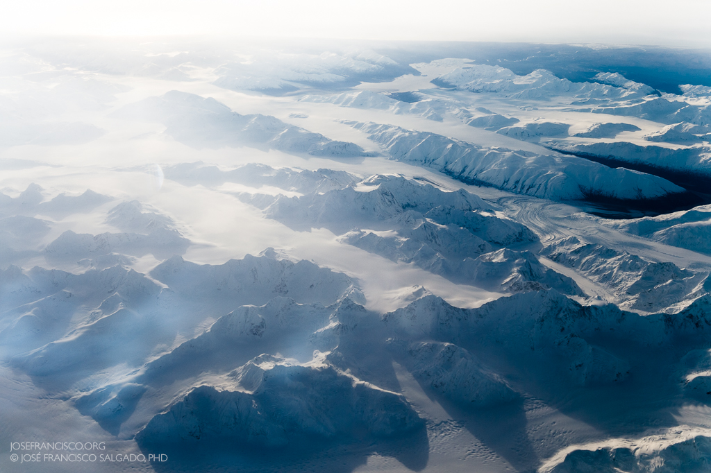
Satellite Map:
Related Photos:
Kluane National Park and Reserve of Canada
Topographic Map of Plug Peak, Yukon, Unorganized, YT Y0B, Canada
Find elevation by address:

Places near Plug Peak, Yukon, Unorganized, YT Y0B, Canada:
Tough Peak
Lofish Peak
Fishwell Peak
Fishwell Sw4
Fishek Peak
Lowy Peak
Easy Nw2
Mount Armour
Easy Peak
Mount Wade
Inupiat Se2
Inupiat E3
Inupiat Peak
Dusty E3
Ulu Mountain
Mount Aylesworth
Dusty Peak
Inupiat W4
Battle Peak
Umiuk Peak
Recent Searches:
- Elevation of Corso Fratelli Cairoli, 35, Macerata MC, Italy
- Elevation of Tallevast Rd, Sarasota, FL, USA
- Elevation of 4th St E, Sonoma, CA, USA
- Elevation of Black Hollow Rd, Pennsdale, PA, USA
- Elevation of Oakland Ave, Williamsport, PA, USA
- Elevation of Pedrógão Grande, Portugal
- Elevation of Klee Dr, Martinsburg, WV, USA
- Elevation of Via Roma, Pieranica CR, Italy
- Elevation of Tavkvetili Mountain, Georgia
- Elevation of Hartfords Bluff Cir, Mt Pleasant, SC, USA