Elevation of Pleasant Hill Rd, Kelso, WA, USA
Location: United States > Washington > Cowlitz County > Kelso >
Longitude: -122.89880
Latitude: 46.2076603
Elevation: 22m / 72feet
Barometric Pressure: 101KPa
Elevation Map:
Satellite Map:
Related Photos:
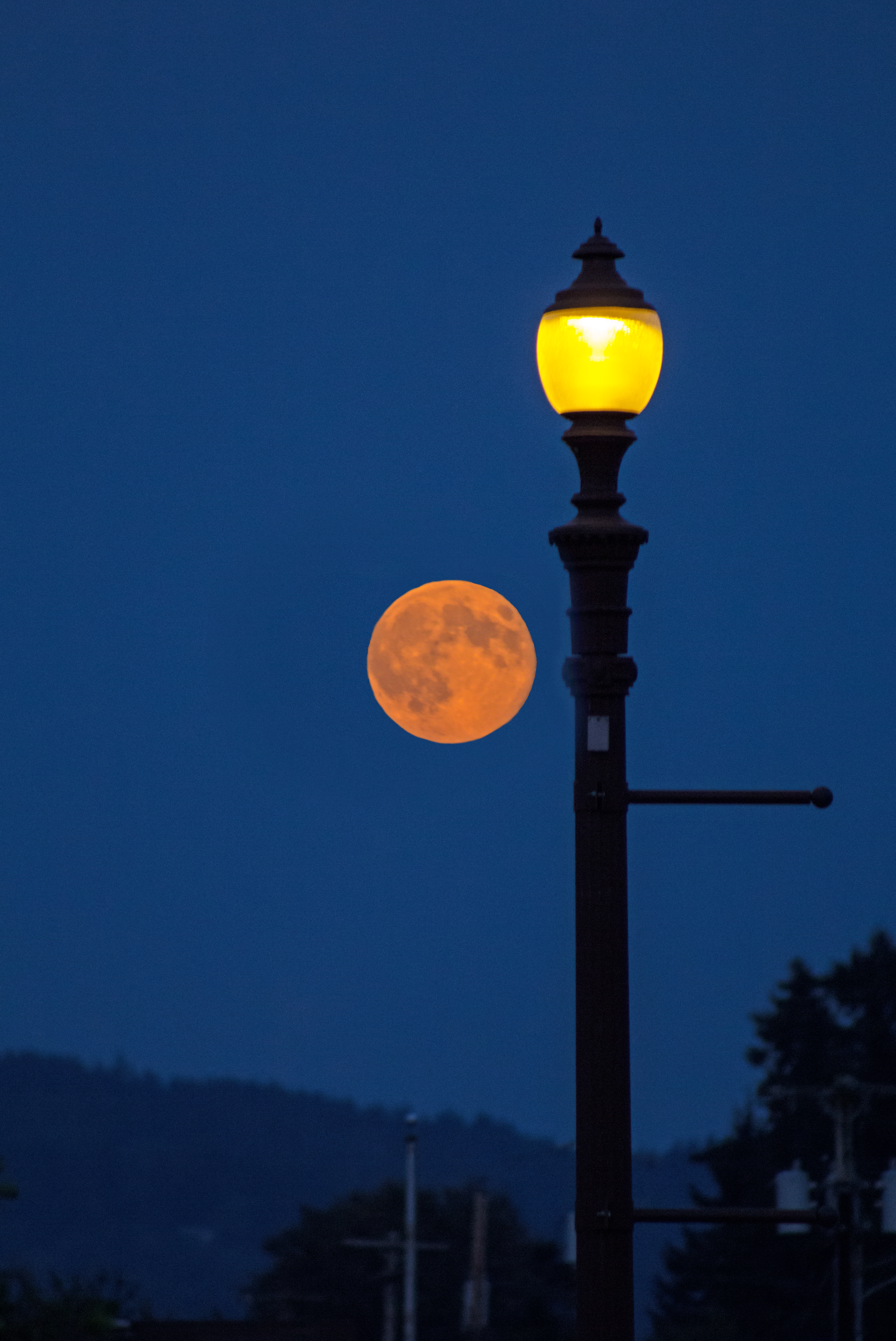
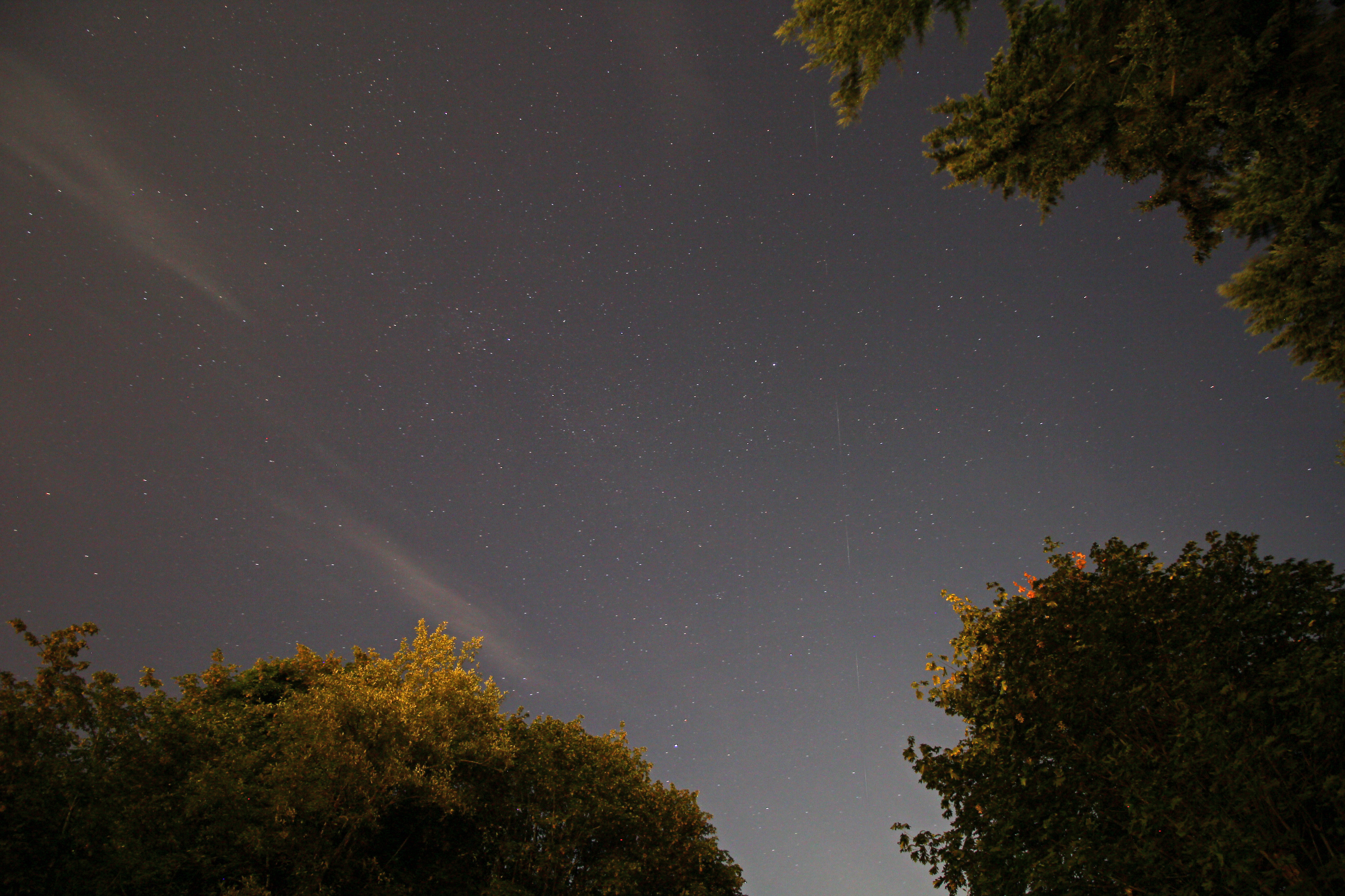
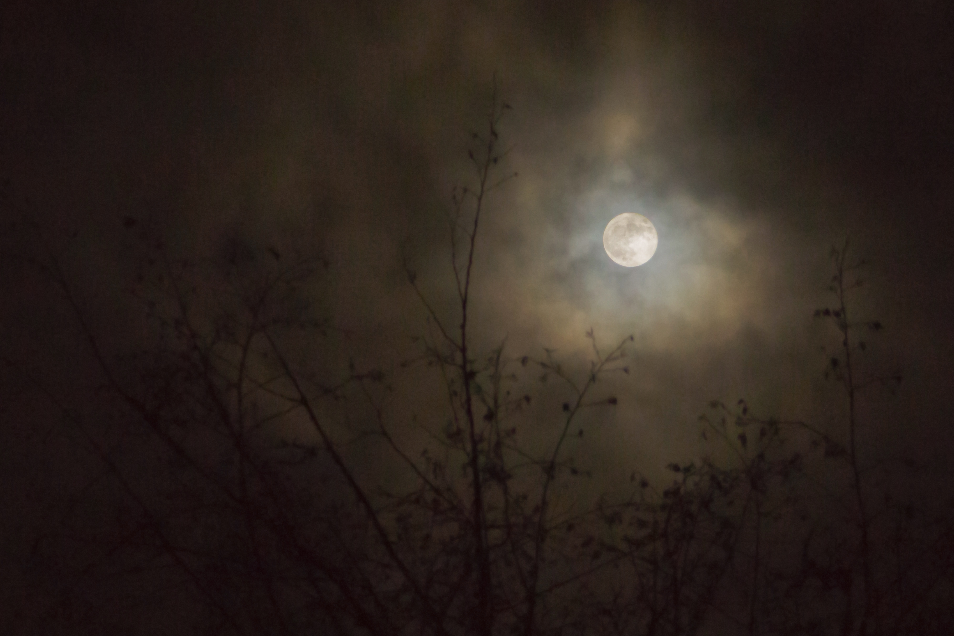
Not So Super Moon

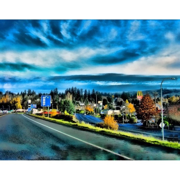
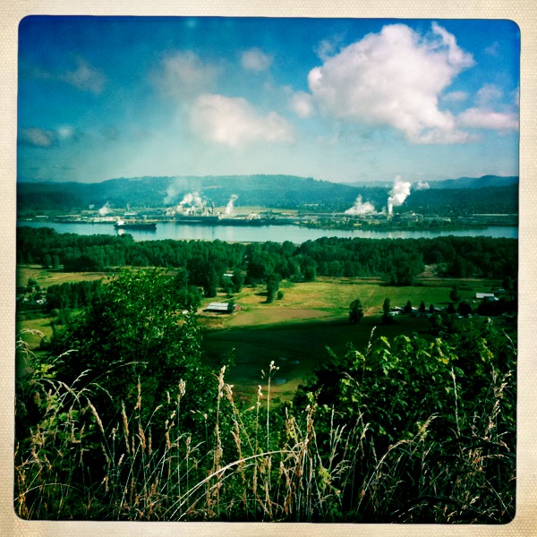
View of Longview WA - HDR

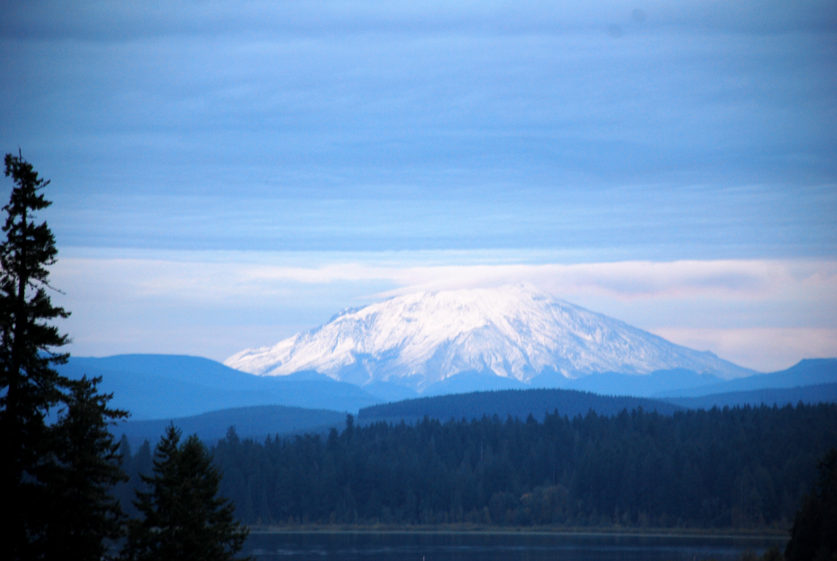
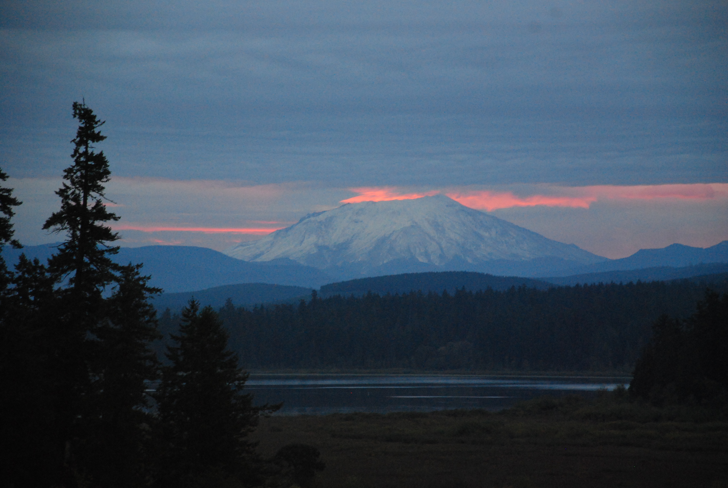
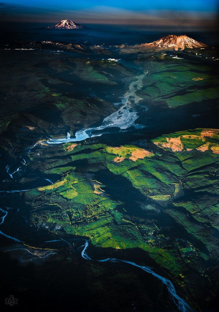
Mount Saint Helens

Opposing Views
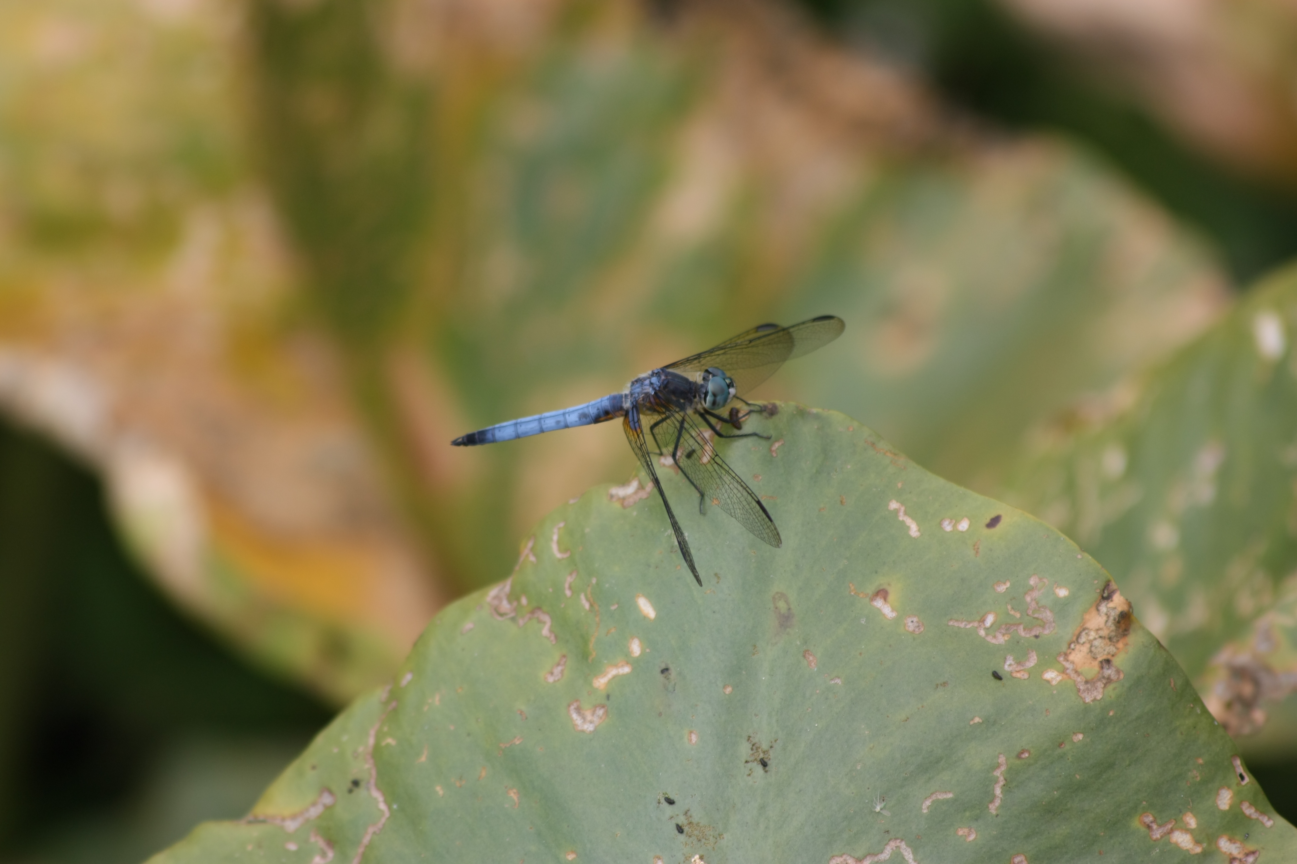
Fly Dragon, fly!
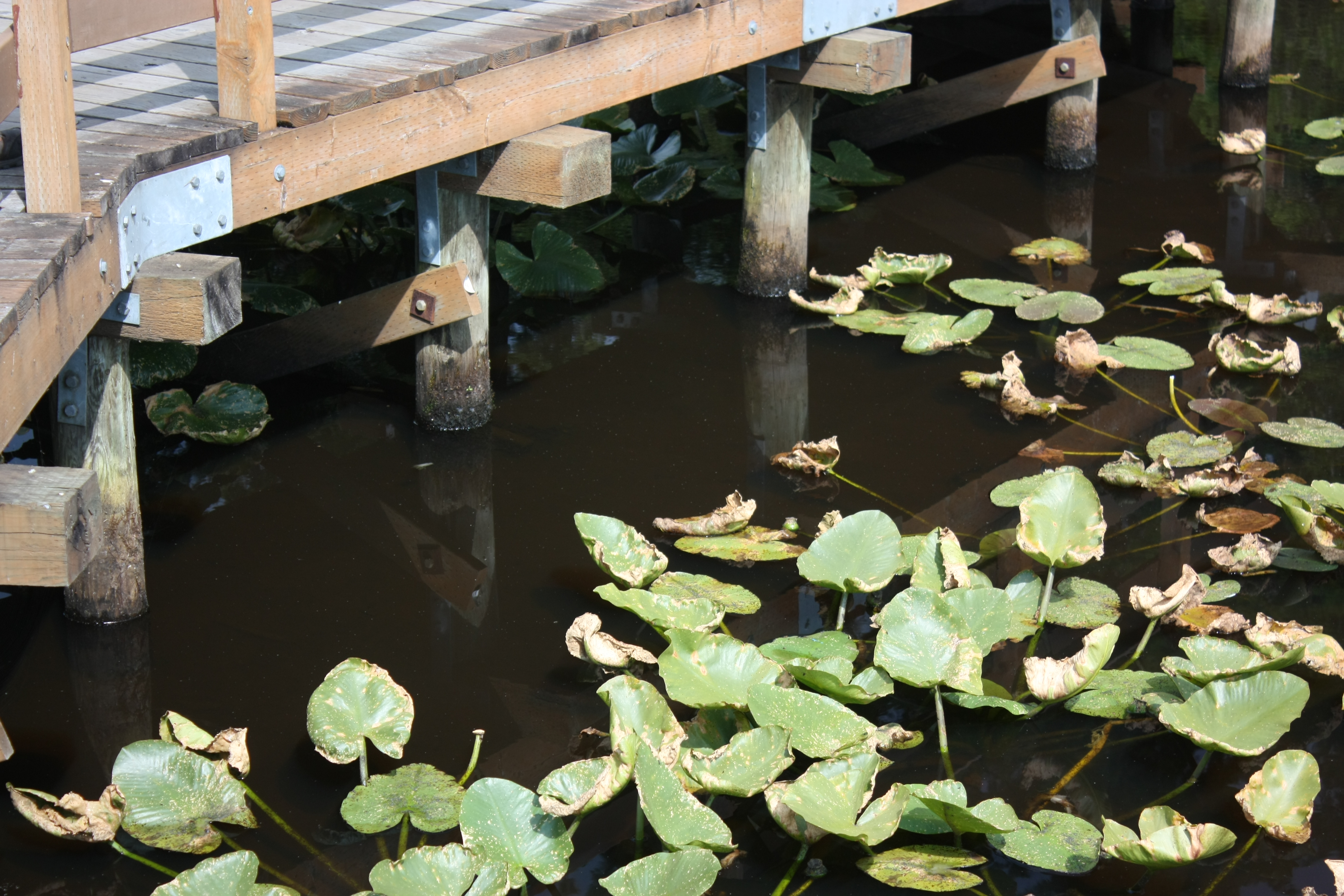
Bridge and Pads
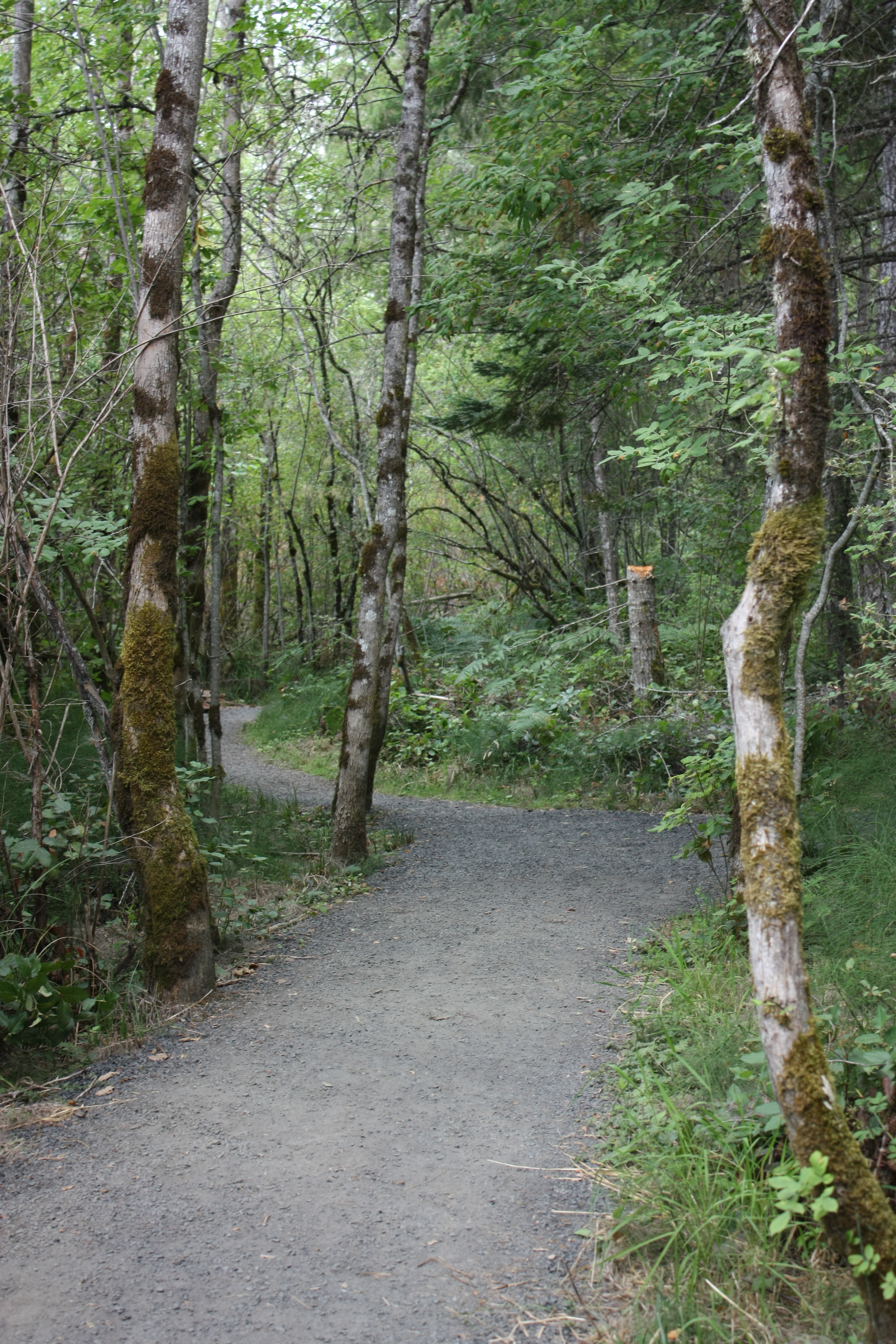
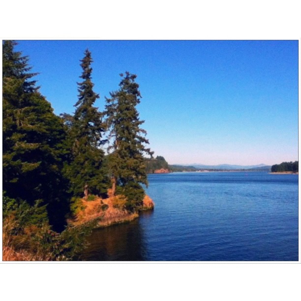
Through the trees

Squirrel Bridge - Closeup
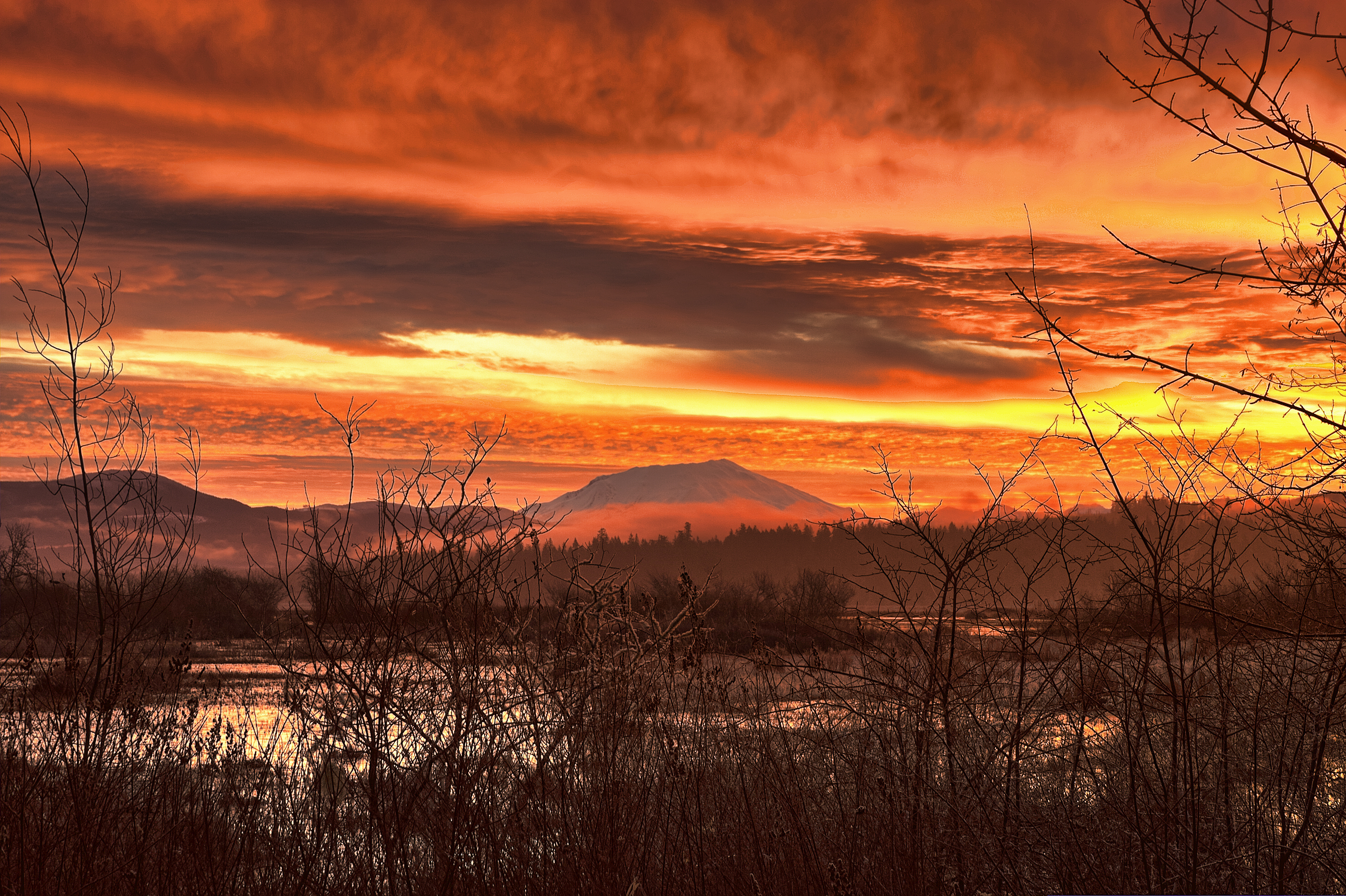
Volcano sunrise 10

Moon over St Helens

#view from a #hill in #Kelso #Washington across the #Cowlitz #River to a hill in #Longview Washington. #CowlitzWayBridge #houses #trees #blue #sky #signs #poles #wires #igdaily #igaddicts #igersusa #igersnorthwest #instagold #instagood #instacommunity #ip
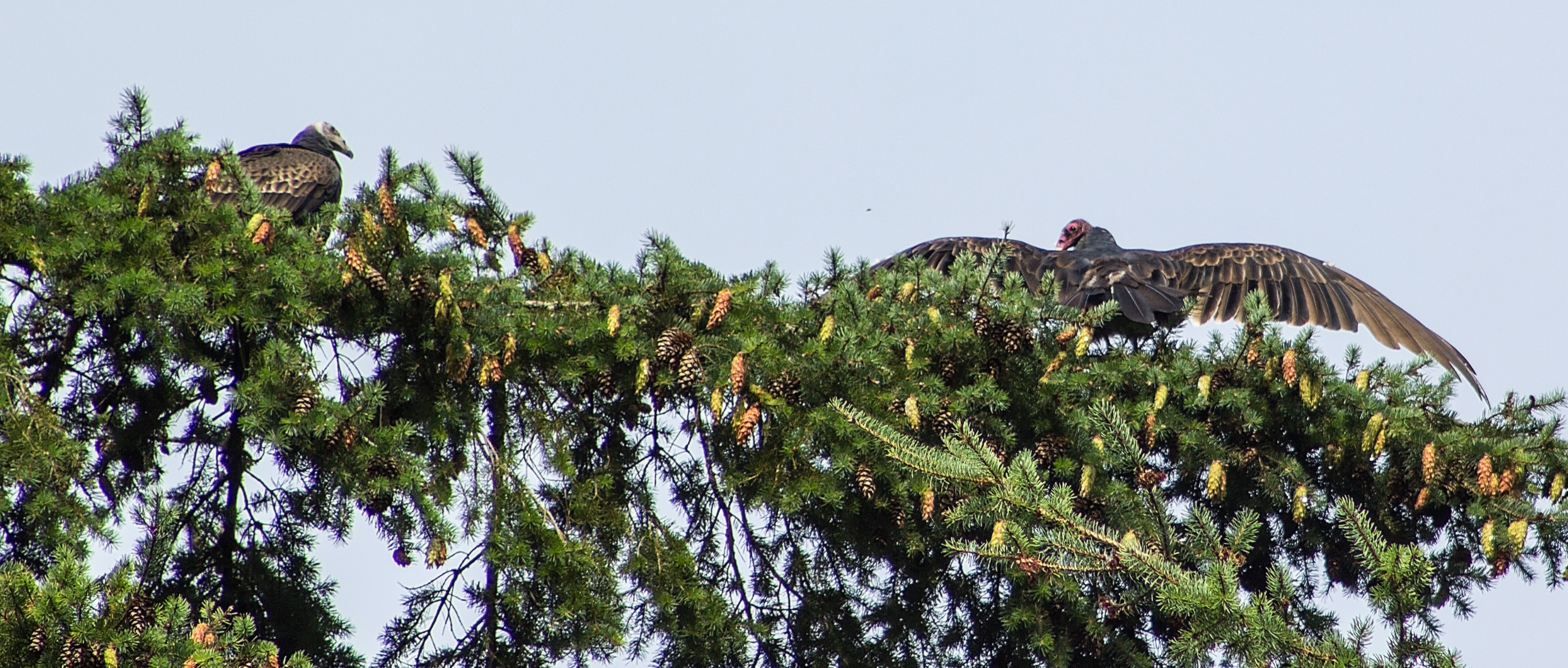
Vultures out on a Limb
Who's Watching Who
High Sunlit Clouds
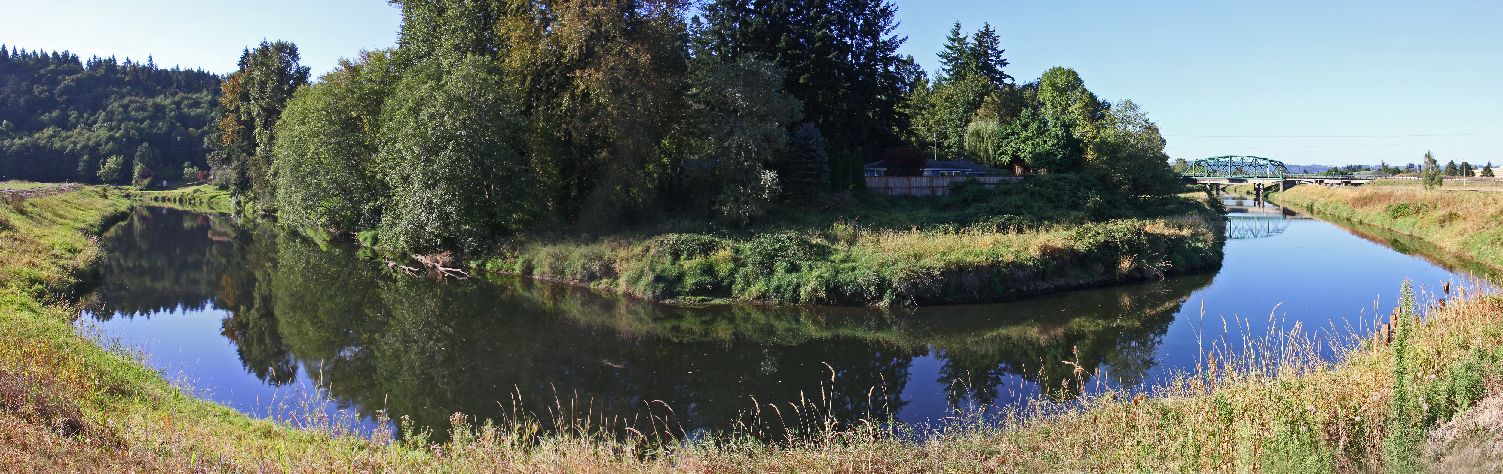
Bend in the River
Full Cold Moon and Clouds

Long View
05-27-2010JohnstonRidgeObservatoryA
Volcano sunrise 2
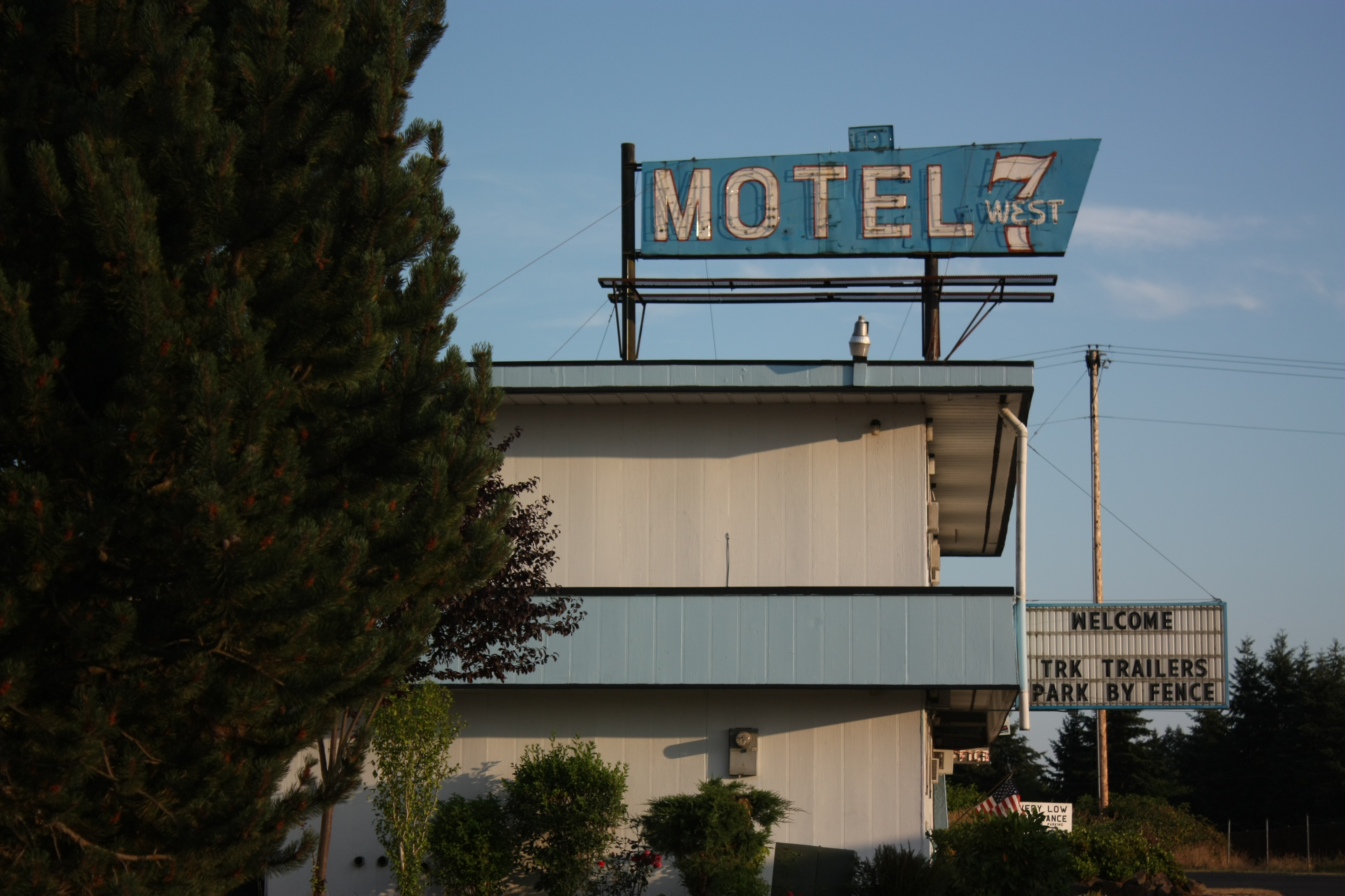
A step up from Motel 6

A lovely view to start another lovely year... Happy new year to all!
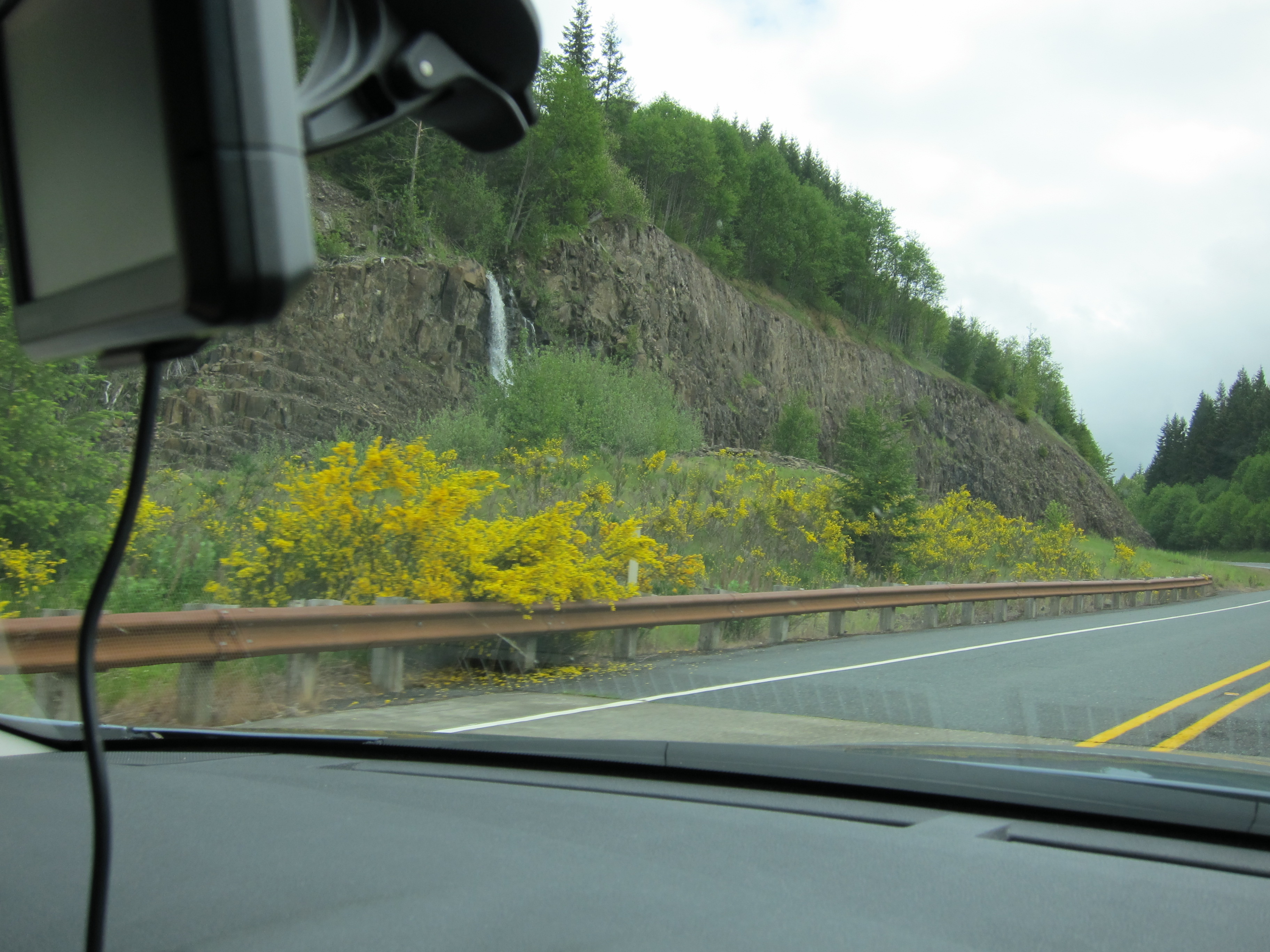
The Toutle River: Mt St Helens' pyroclastic debris drain
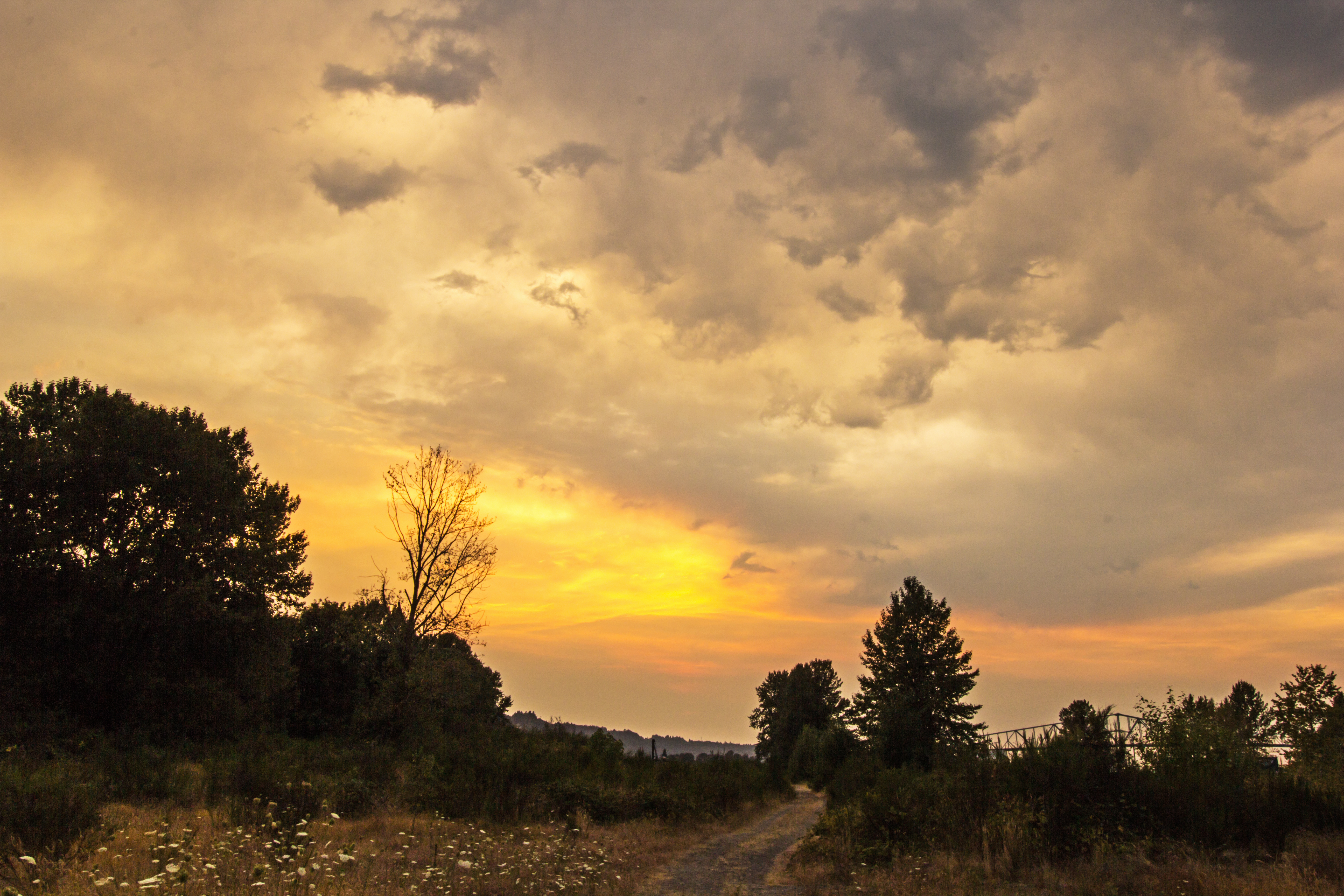
Last Sunrise Of 2012

Snowy mount st Helens at sunset. #mtsthelens #mountain #nature #volcano #snow #sunset #landscape #color #texture #dagmarwoltereckphotography

Rusty Ford Step Van, 2014

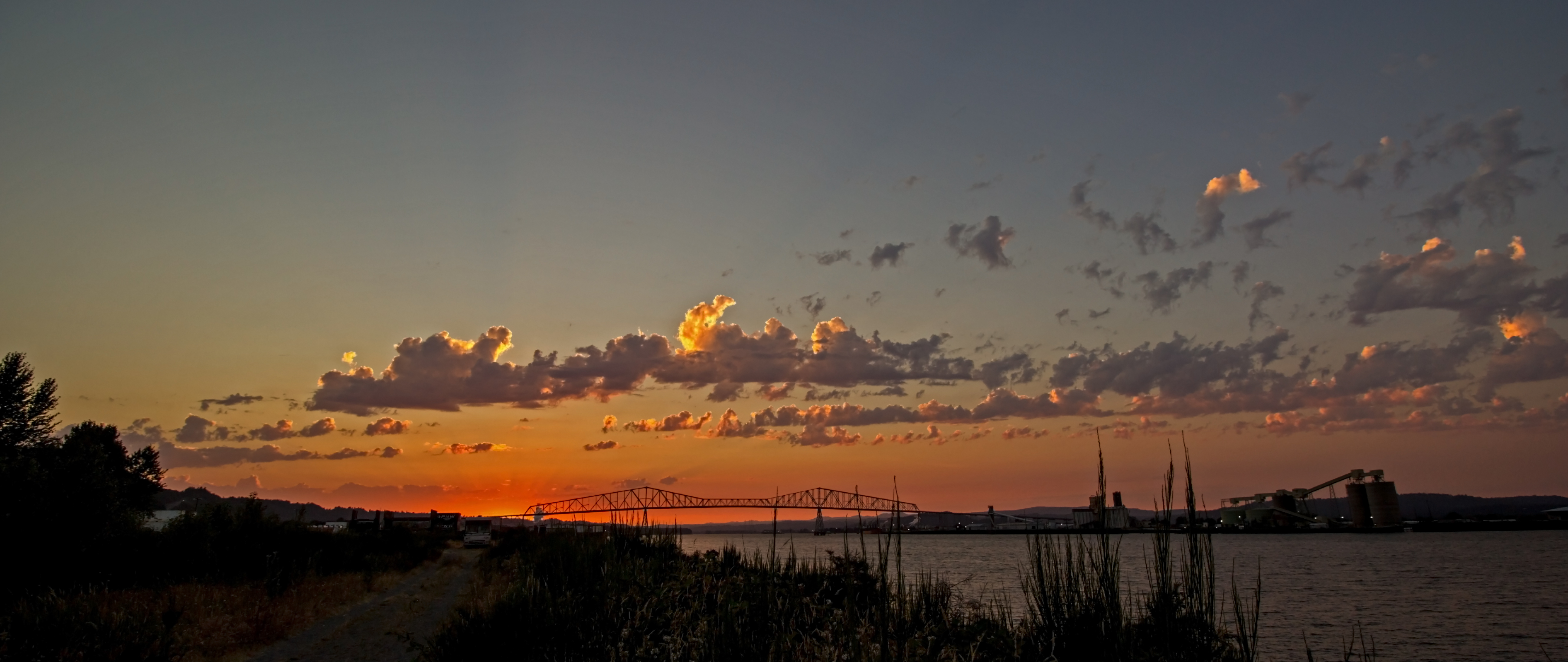
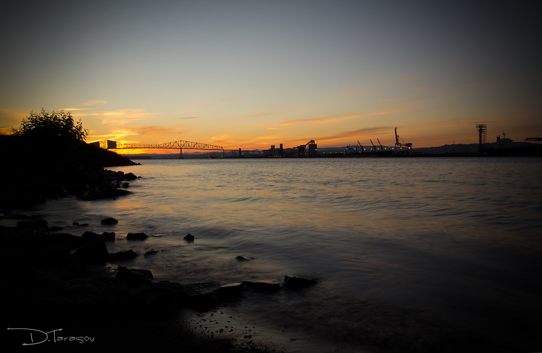
Skyline: Bridge - Rainier, Oregon

Rainier, Oregon

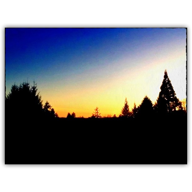
#bigsky over #washington #trees in #silhouette #clouds #cloudporn #travel
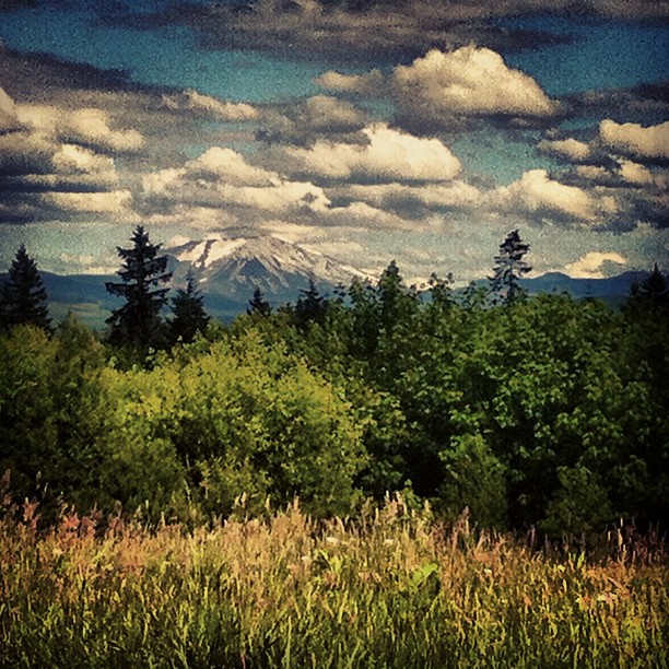
Mt St. Helens
when day is done...
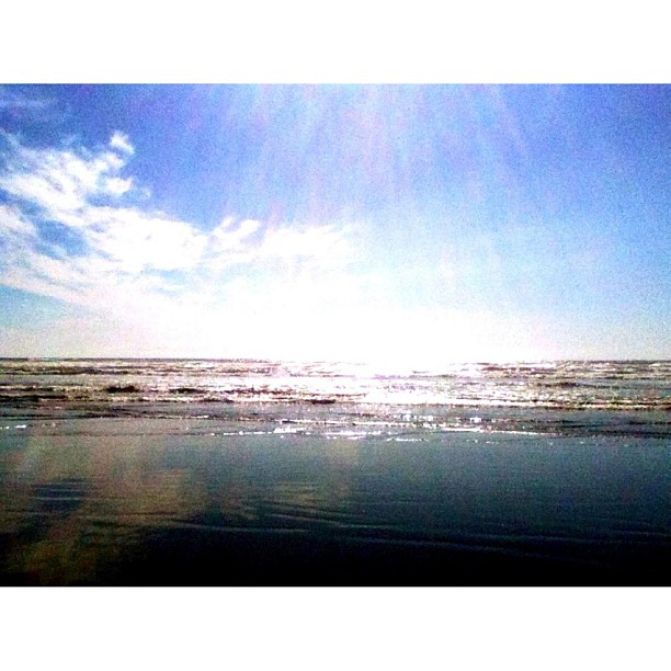
sun, sand, sea, sky

HIP_333131820.757478
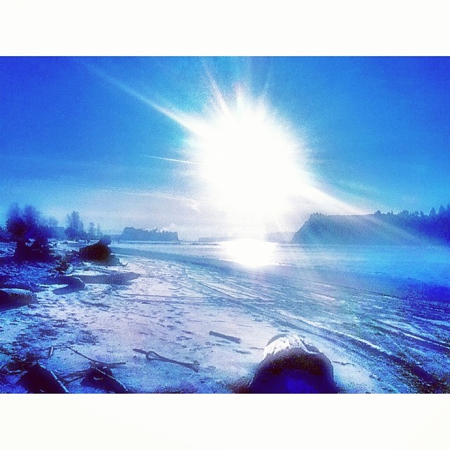
Frosty Willow Grove beach.
#Interstate5 #I5 #northbound #exit39 #Kelso #Washington #gas #food #lodging #offramp #igdaily #igaddicts #igersusa #igersnorthwest #instagold #instagood #instagramers #instacommunity #pacificnw #webstagram #statigram #ipodography #ipodesia
#ColumbiaRiver at #AbernathyCreek #Longview #Washington #trees #water #blue #sky #summer #evening #grass #PacificNW #igdaily #igersusa #igaddicts #igersnorthwest #instagold #instagood #instagramers #instacommunity #ipodesia #ipodography #statigram #websta
HIP_333131888.664206
Rainier Sunset

Fall Anna's

Trees in my back yard are now bare - looking like winter. #trees #bare #cold #home #backyard

Rare autumn sunset in the back yard. #autumn #fall #trees #sunset #colorful #home #backyard
Gold in the Clouds
Topographic Map of Pleasant Hill Rd, Kelso, WA, USA
Find elevation by address:

Places near Pleasant Hill Rd, Kelso, WA, USA:
381 Sakari Ln
100 E Stock Rd
1870 Westside Hwy
251 Dusty Dr
126 Red Row Rd
353 Walnut Acres Rd
340 Walnut Acres Rd
115 Penny Ln
106 Sierra Dr
201 Lexington Ave
585 Garden St
109 Alameda Dr
West Side Highway
700 Garden St
Ostrander Road
14 Old Beacon Hill Dr
136 View Point Dr
1135 Ostrander Rd
174 Beacon Hill Dr
257 Alpha Dr
Recent Searches:
- Elevation of Corso Fratelli Cairoli, 35, Macerata MC, Italy
- Elevation of Tallevast Rd, Sarasota, FL, USA
- Elevation of 4th St E, Sonoma, CA, USA
- Elevation of Black Hollow Rd, Pennsdale, PA, USA
- Elevation of Oakland Ave, Williamsport, PA, USA
- Elevation of Pedrógão Grande, Portugal
- Elevation of Klee Dr, Martinsburg, WV, USA
- Elevation of Via Roma, Pieranica CR, Italy
- Elevation of Tavkvetili Mountain, Georgia
- Elevation of Hartfords Bluff Cir, Mt Pleasant, SC, USA