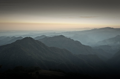
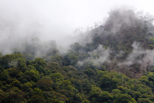
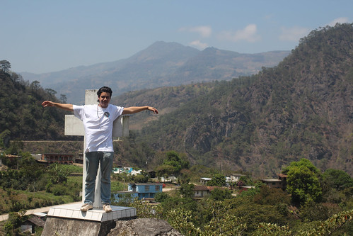
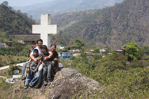
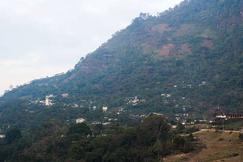
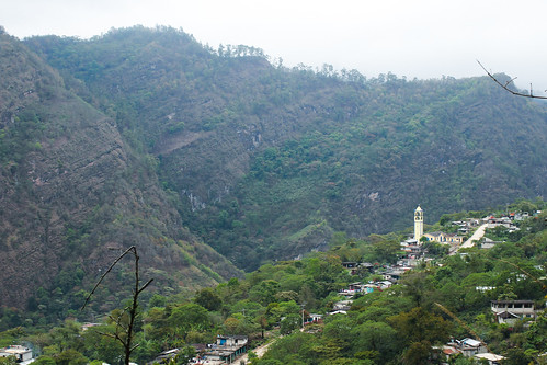
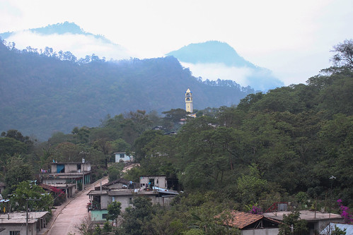
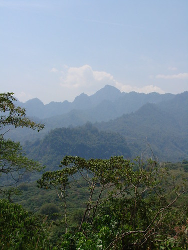
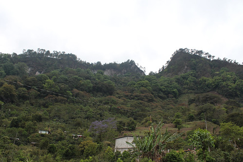
Elevation of Plan, Amixtlán, Pue., Mexico
Location: Mexico > Puebla > Amixtlán > Amixtlán >
Longitude: -97.800428
Latitude: 20.0466825
Elevation: 1236m / 4055feet
Barometric Pressure: 87KPa
Related Photos:
Topographic Map of Plan, Amixtlán, Pue., Mexico
Find elevation by address:

Places in Plan, Amixtlán, Pue., Mexico:
Places near Plan, Amixtlán, Pue., Mexico:
Amixtlán
Amixtlán
Porfirio Díaz 75, Pukuxi, Amixtlán, Pue., Mexico
16 de Septiembre 21, Plan, Amixtlán, Pue., Mexico
Pukuxi
De Febrero 24, Tercera Secc, Camocuautla, Pue., Mexico
Tercera Sección
Tepango De Rodríguez
Tepango De Rodríguez
Camocuautla
Primera Sección
Lavaderos 5, Primera Secc, Tepango de Rodríguez, Pue., Mexico
Camocuautla
Morelos, Zapotitlán de Méndez Centro, Zapotitlán de Méndez, Pue., Mexico
Zongozotla
Allende 4, Sexta Secc, Zongozotla, Pue., Mexico
Zongozotla
Sexta Sección
Cuautempan
Colonia Cuautempan
Recent Searches:
- Elevation of Corso Fratelli Cairoli, 35, Macerata MC, Italy
- Elevation of Tallevast Rd, Sarasota, FL, USA
- Elevation of 4th St E, Sonoma, CA, USA
- Elevation of Black Hollow Rd, Pennsdale, PA, USA
- Elevation of Oakland Ave, Williamsport, PA, USA
- Elevation of Pedrógão Grande, Portugal
- Elevation of Klee Dr, Martinsburg, WV, USA
- Elevation of Via Roma, Pieranica CR, Italy
- Elevation of Tavkvetili Mountain, Georgia
- Elevation of Hartfords Bluff Cir, Mt Pleasant, SC, USA
