Elevation of Piz Canal, Lumnezia, Switzerland
Location: Switzerland > Grisons > Surselva District > Lumnezia > Vrin >
Longitude: 9.0246729
Latitude: 46.6113959
Elevation: 2842m / 9324feet
Barometric Pressure: 72KPa
Elevation Map:
Satellite Map:
Related Photos:
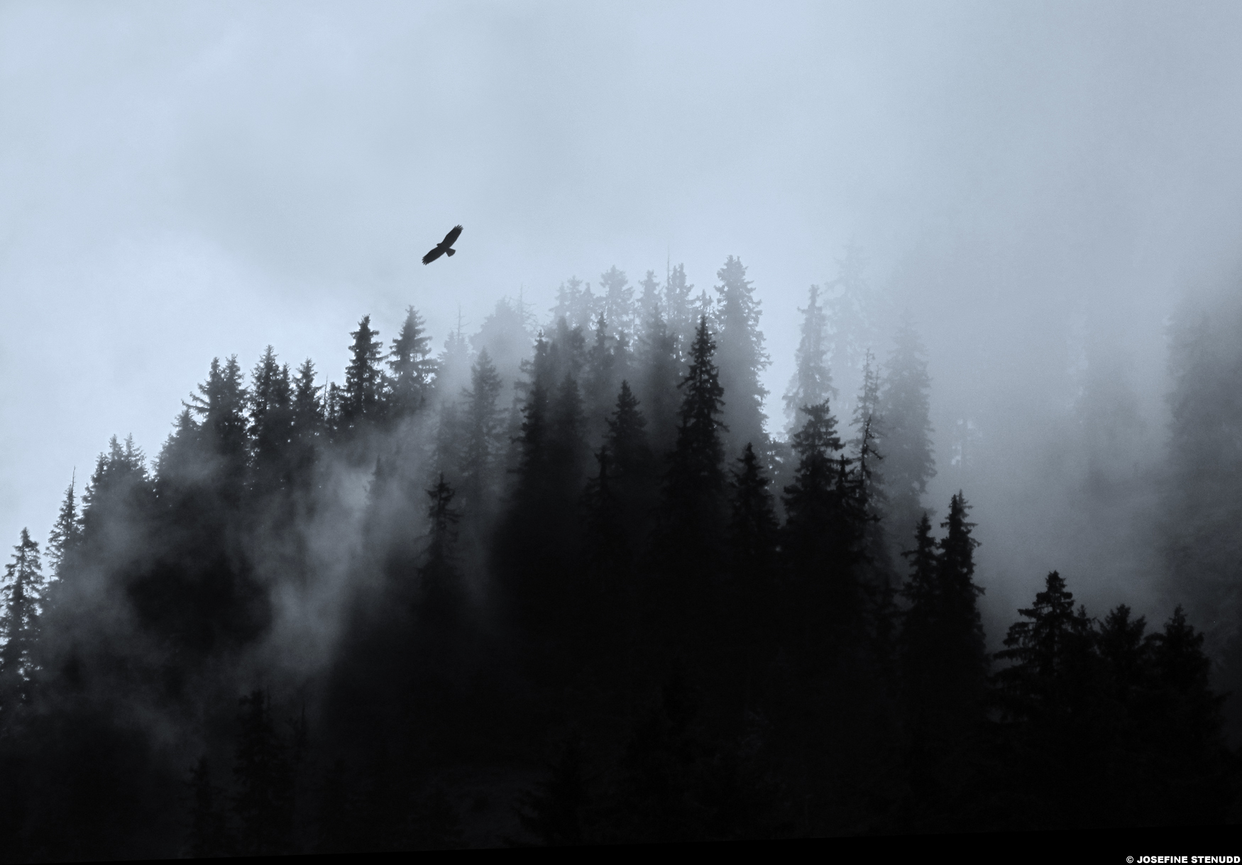
20110614_09 Bird of prey over foggy forested mountain | Disentis/Mustér, Switzerland
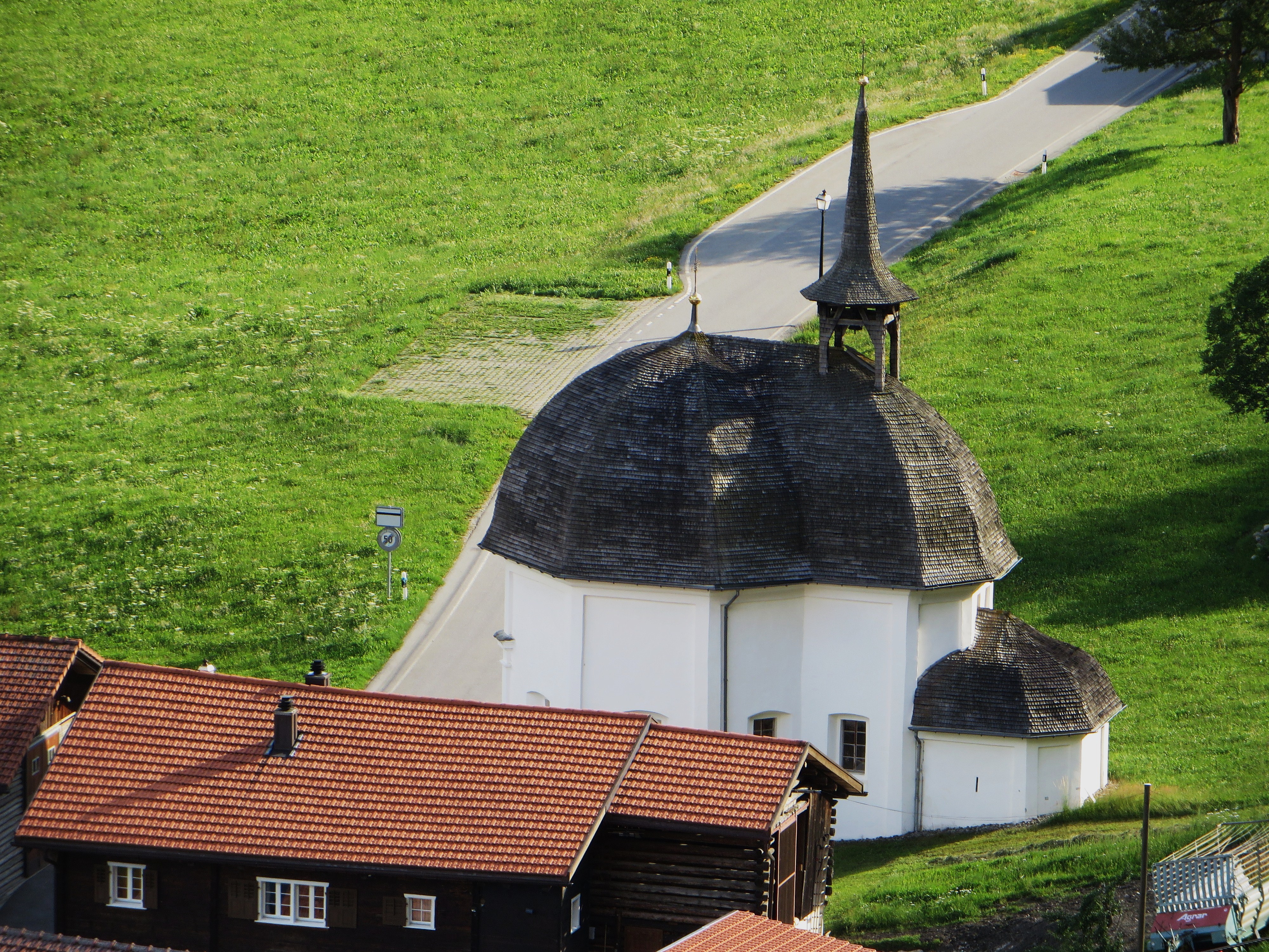
Chapelle, district de Surselva, canton des Grisons, Suisse.
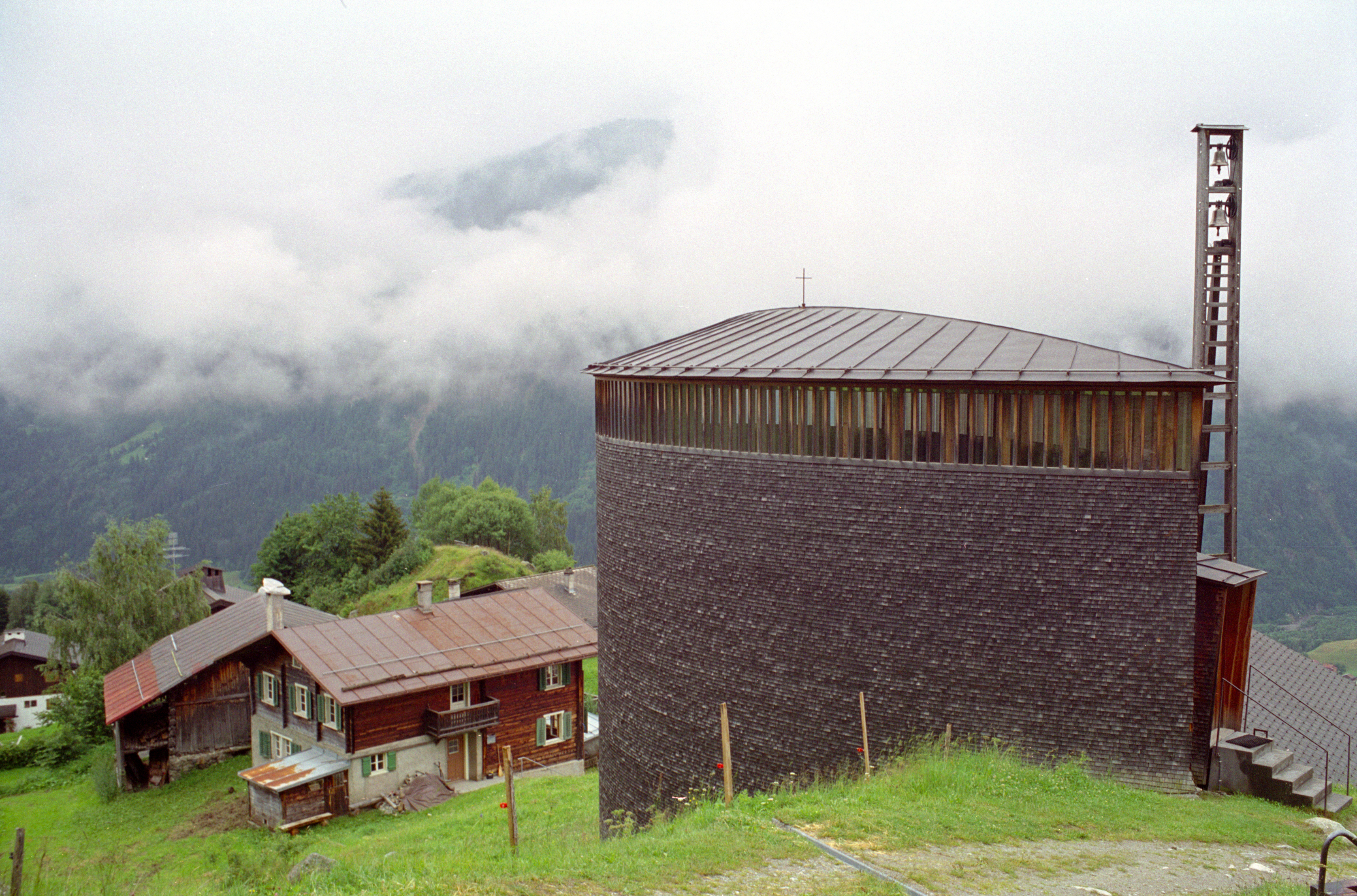
saint benedict chapel 6 exterior from slightly uphill
therme vals - me struggling to find entrance
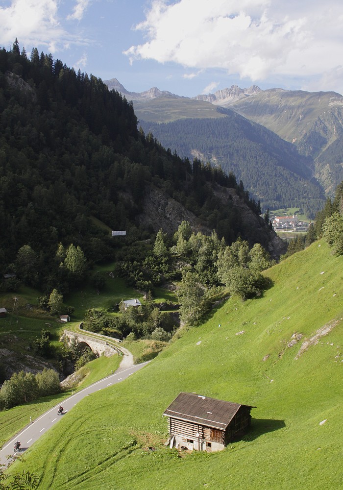
View of Disentis-Muster / Aussicht bis Disentis-Muster
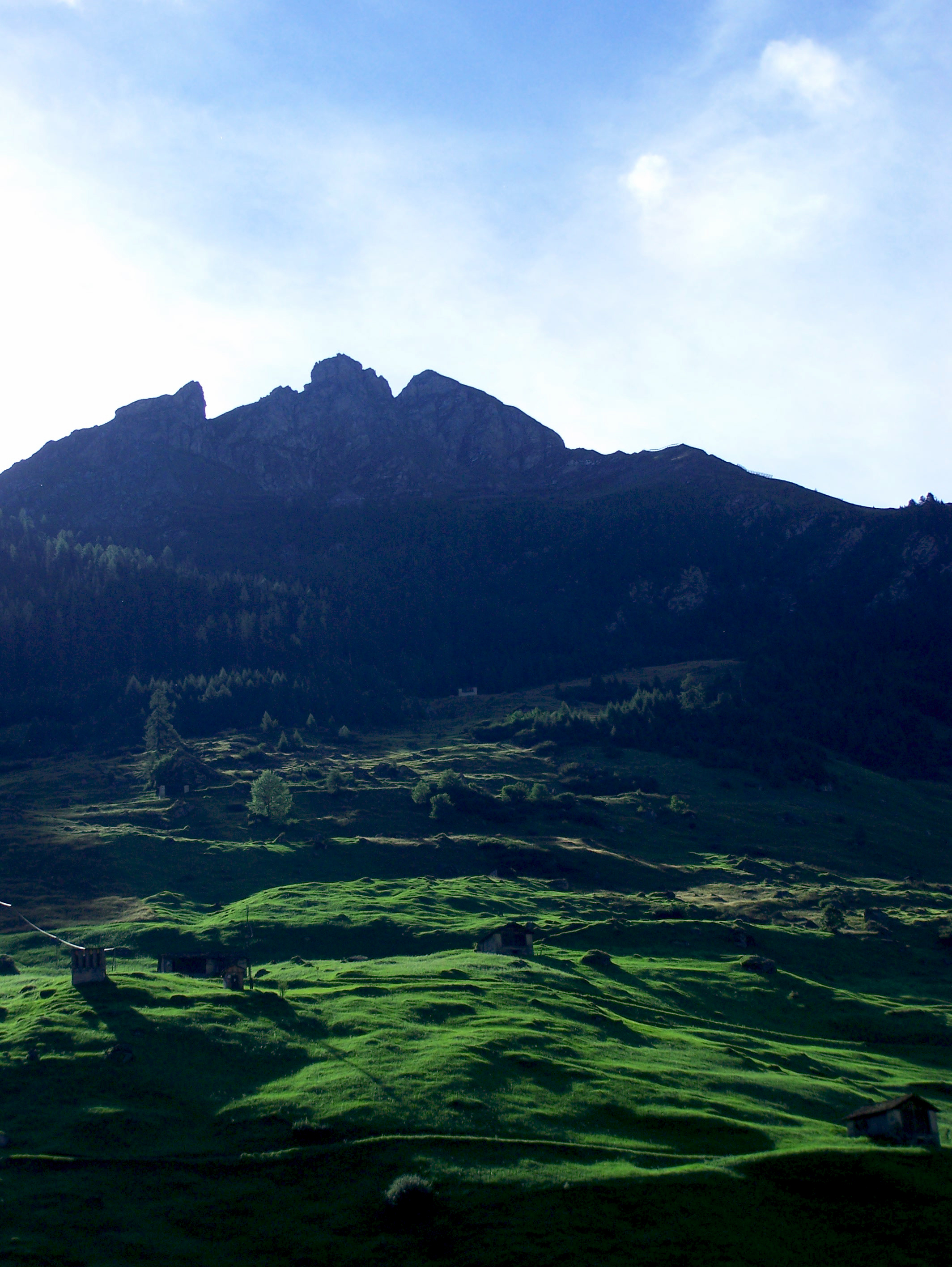
vals: alps
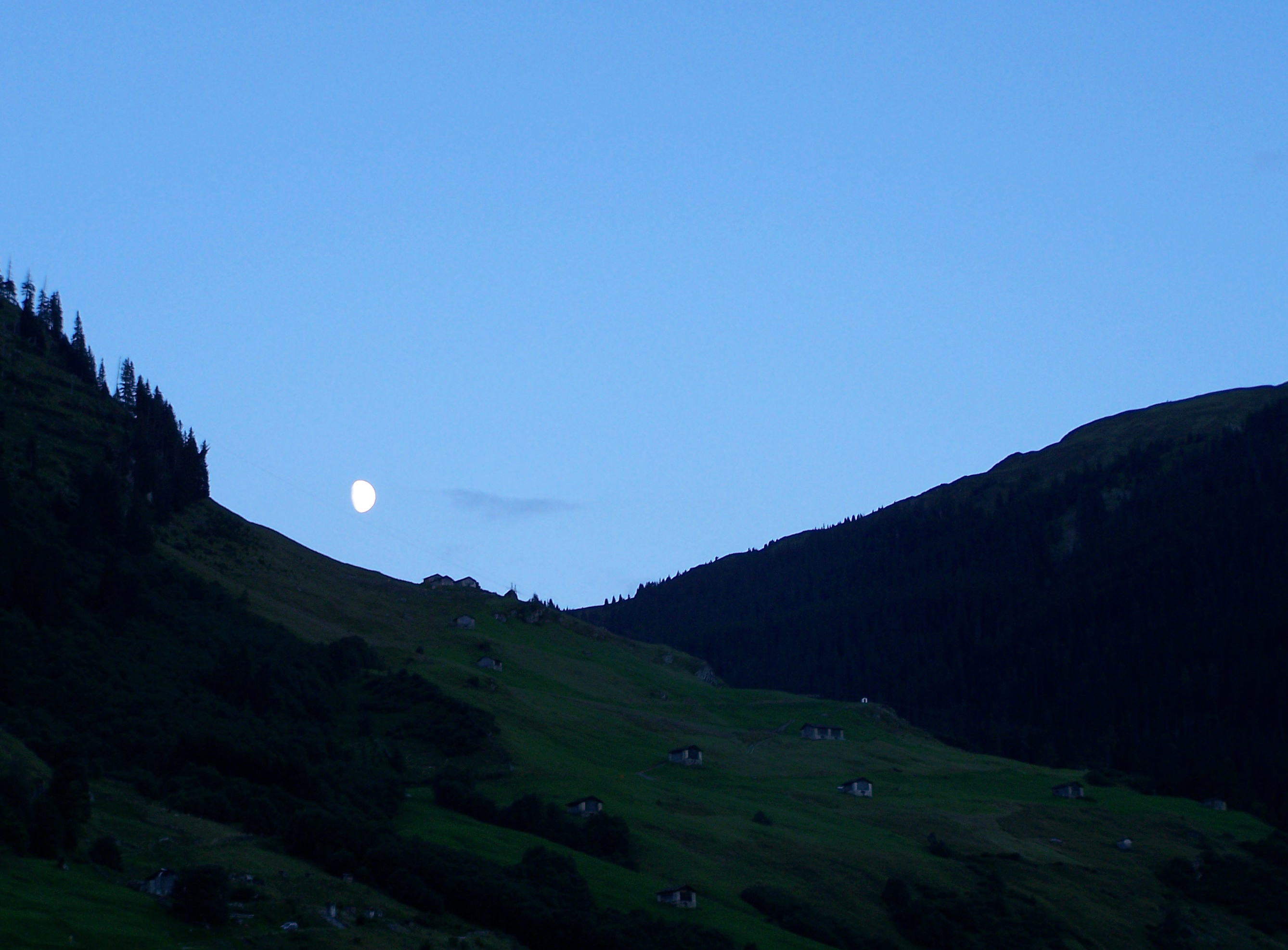
vals: twilight
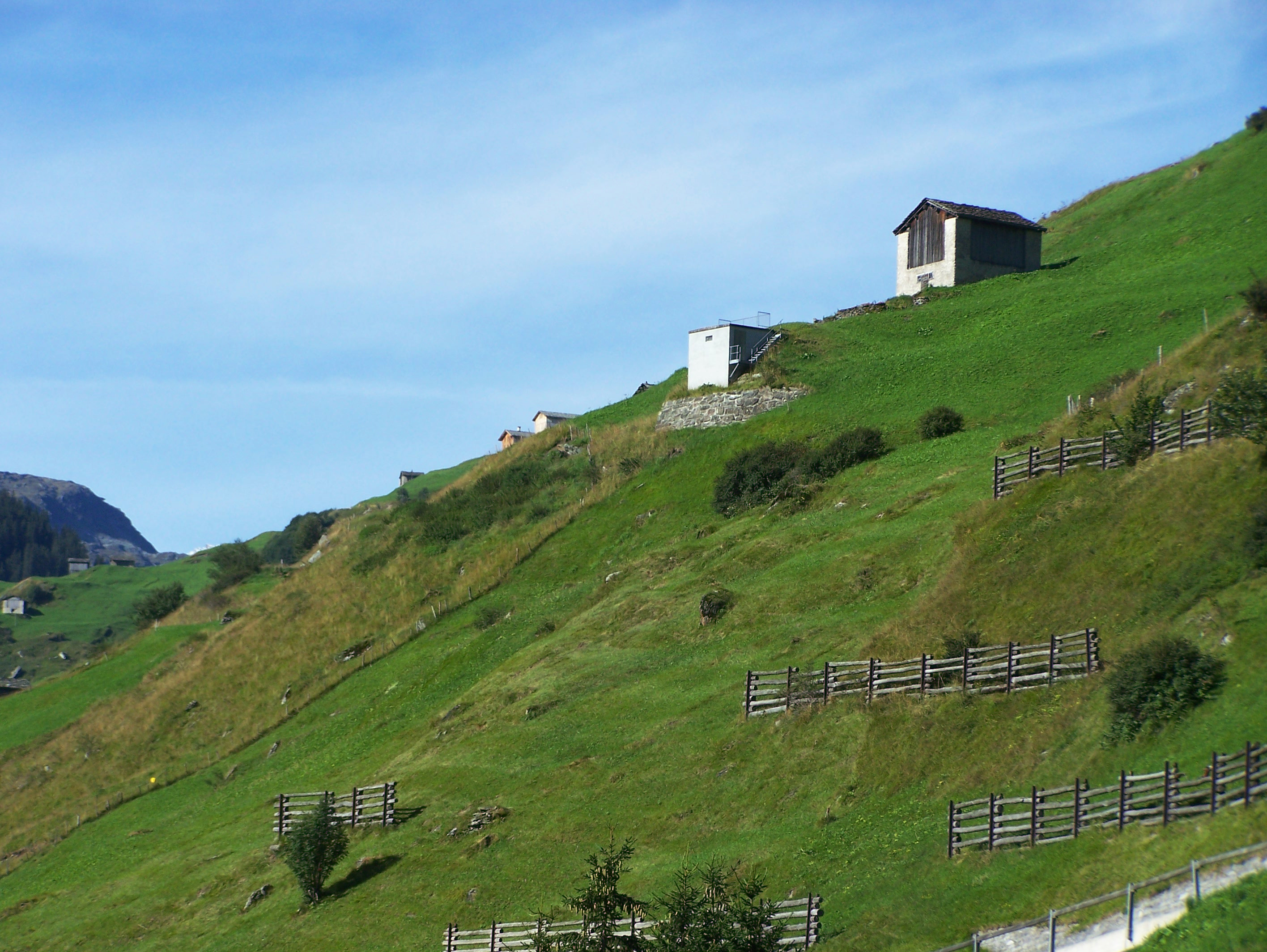
vals: surrounding hills
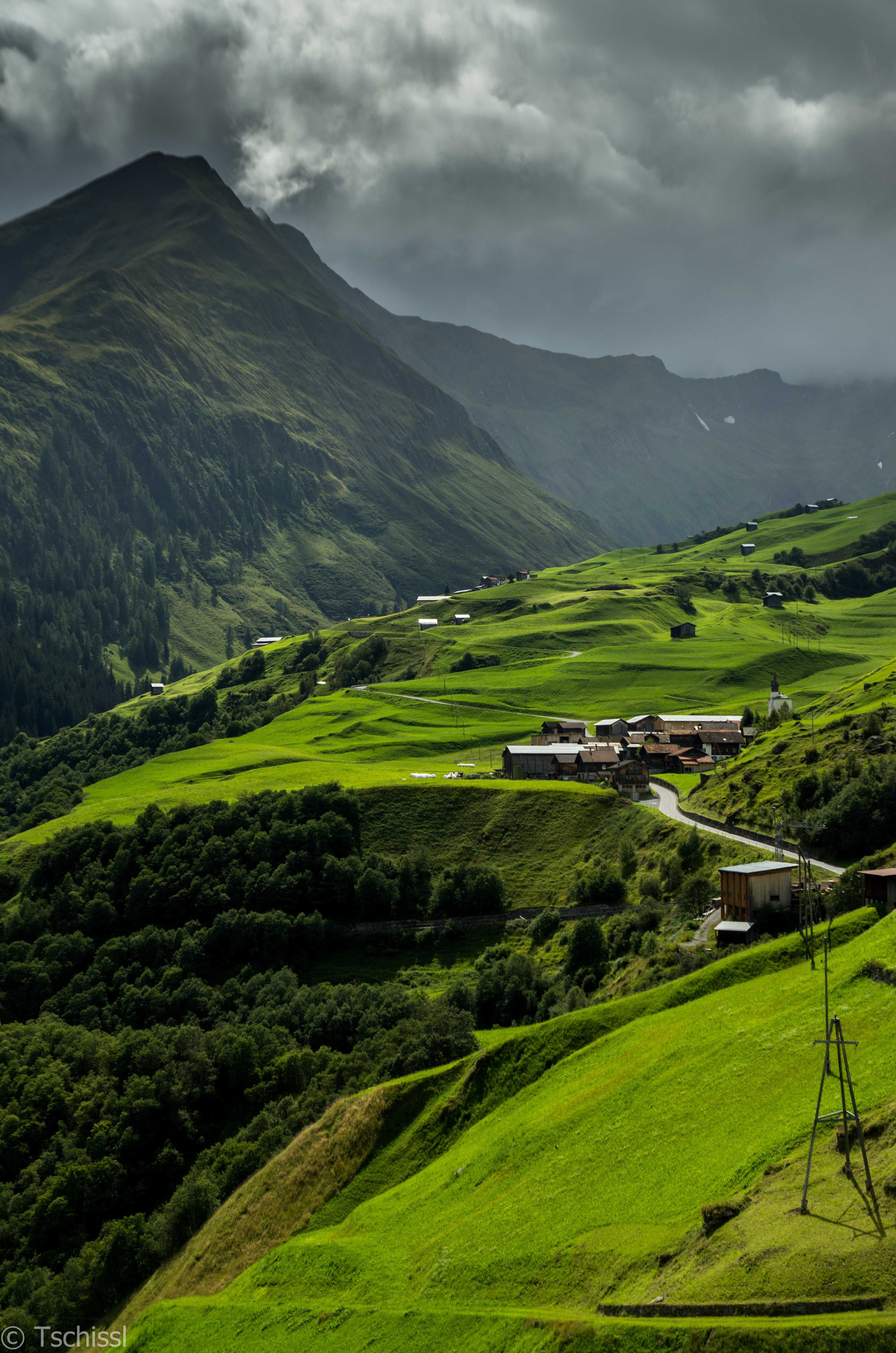
Towards the end ...
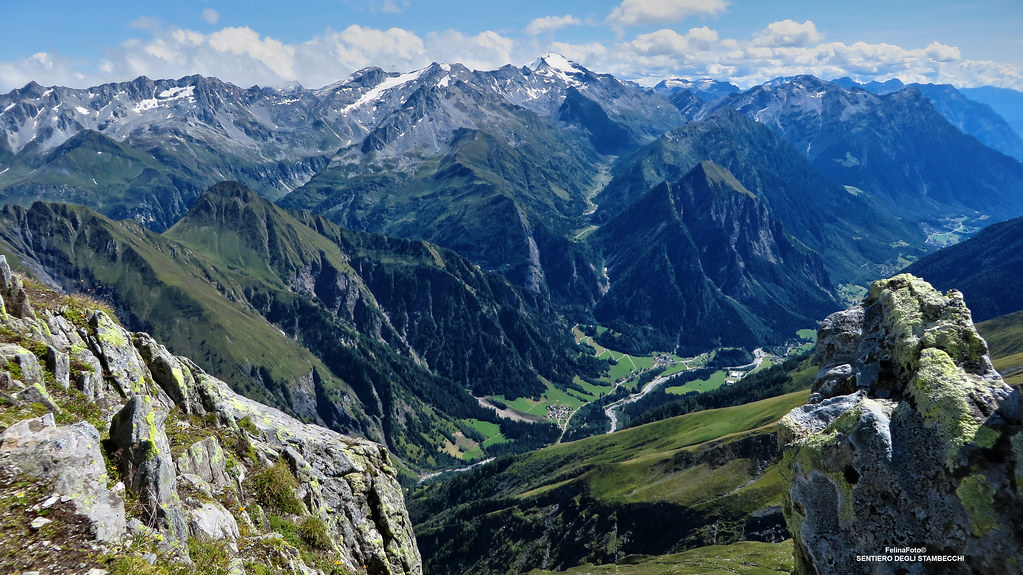
Sentiero degli Stambecchi

Mountain top view from the Sasso Lanzone 2814m
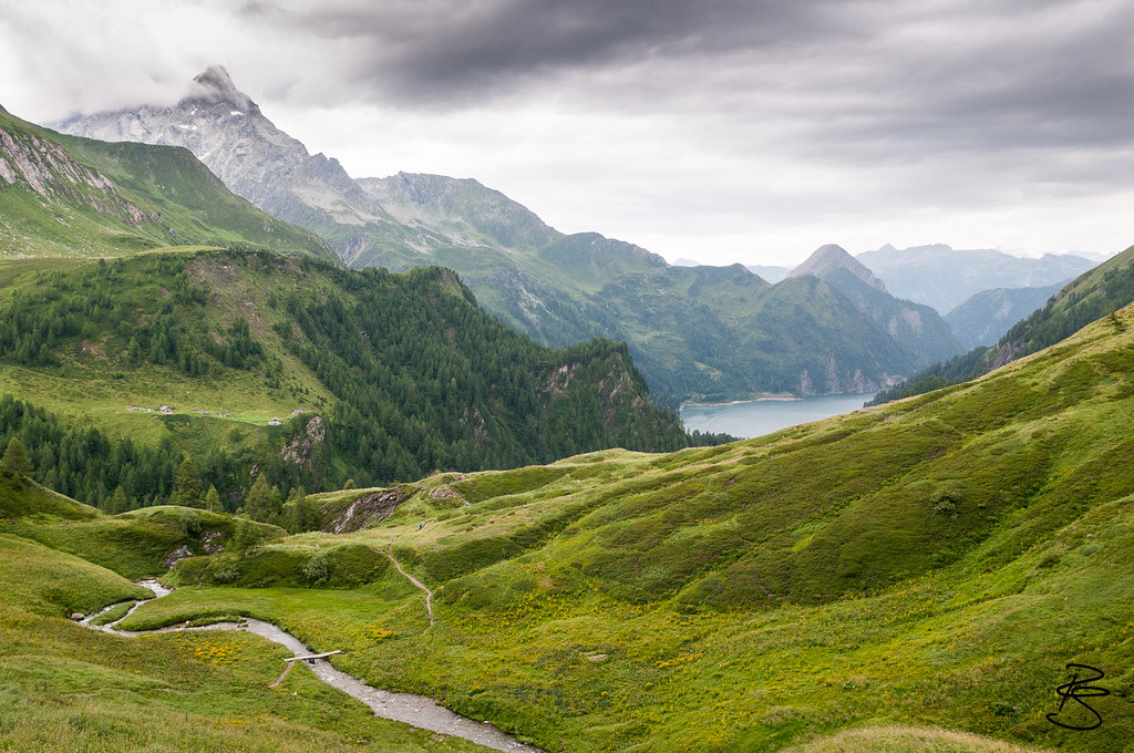
View of Lago Luzzone
Topographic Map of Piz Canal, Lumnezia, Switzerland
Find elevation by address:

Places near Piz Canal, Lumnezia, Switzerland:
Piz Terri
Piz Cavel
Piz Vial
Pizzo Marumo
Frunthorn
Vrin
Faltschonhorn
Piz Aul
Piz Medel
Piz Miez
Piz Caschleglia
Piz Uffiern
Lumbrein
419d
Trun
Sumvitg
Medels Im Oberland
Disentis/mustér
Disentis
Piz Alpetta
Recent Searches:
- Elevation of Corso Fratelli Cairoli, 35, Macerata MC, Italy
- Elevation of Tallevast Rd, Sarasota, FL, USA
- Elevation of 4th St E, Sonoma, CA, USA
- Elevation of Black Hollow Rd, Pennsdale, PA, USA
- Elevation of Oakland Ave, Williamsport, PA, USA
- Elevation of Pedrógão Grande, Portugal
- Elevation of Klee Dr, Martinsburg, WV, USA
- Elevation of Via Roma, Pieranica CR, Italy
- Elevation of Tavkvetili Mountain, Georgia
- Elevation of Hartfords Bluff Cir, Mt Pleasant, SC, USA