Elevation of Pius Drove, Upwell, Wisbech PE14, UK
Location: United Kingdom > Norfolk > Upwell >
Longitude: 0.2222488
Latitude: 52.6074979
Elevation: 3m / 10feet
Barometric Pressure: 101KPa
Elevation Map:
Satellite Map:
Related Photos:

Hi-Res R1196

Tilney St Lawrence, Norfolk

Terrington St John, Norfolk

The Campanile, St Mary's Parish Church, West Walton, Norfolk, England.

IMGP1281c Starling, Welney Washes, June 2018

Runcton Holme, Norfolk

IMGP1287c Starling, Welney Washes, June 2018

Wiggenhall St Mary Magdalen, Norfolk

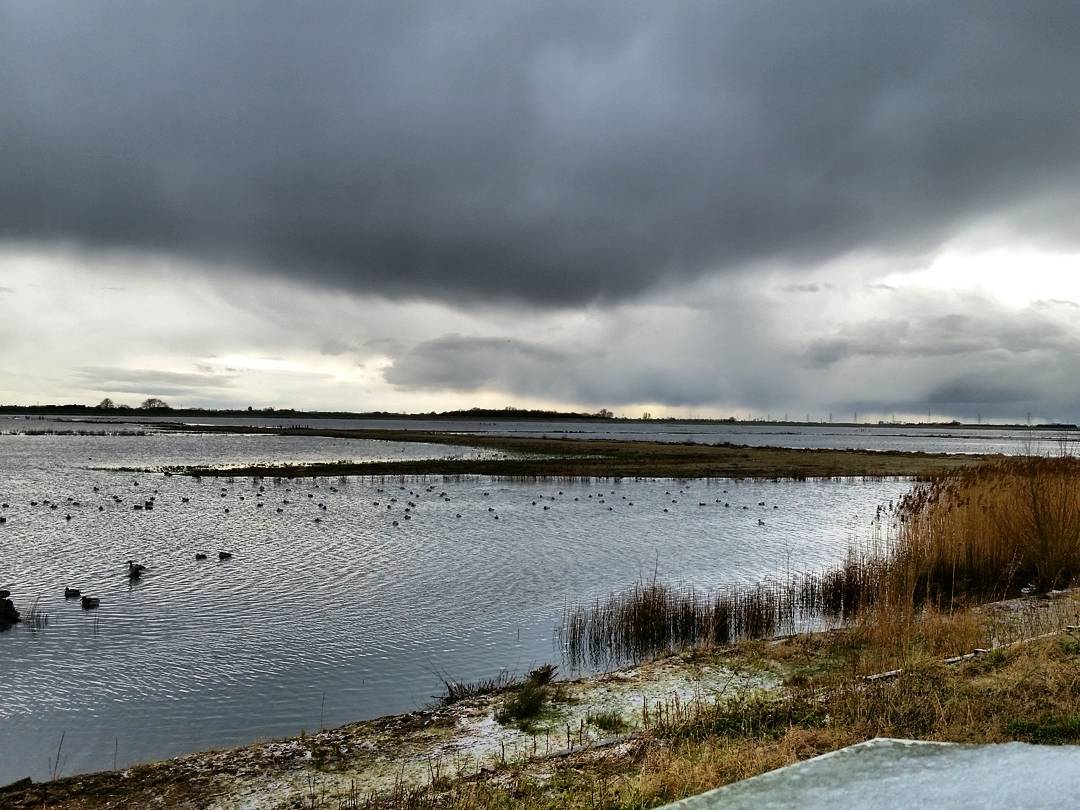
Storm Clouds

Back This Way Again...

Terrington St John, Norfolk

Wiggenhall St Germans, Norfolk

Wigganhall St German, Norfolk

IMGP1283c 'You never listen to me' Starling, Welney Washes, June 2018

Tilney All Saints, Norfolk

Wiggenhall St Peter, Norfolk

IMGP1265a Tree Sparrow, Welney Washes, June 2018

West Walton, Norfolk

Wiggenhall St Germans, Norfolk

Terrington St John, Norfolk

Walpole St Peter, Norfolk
Sky at Sunset

A Two Quid Medium Format TLR Camera

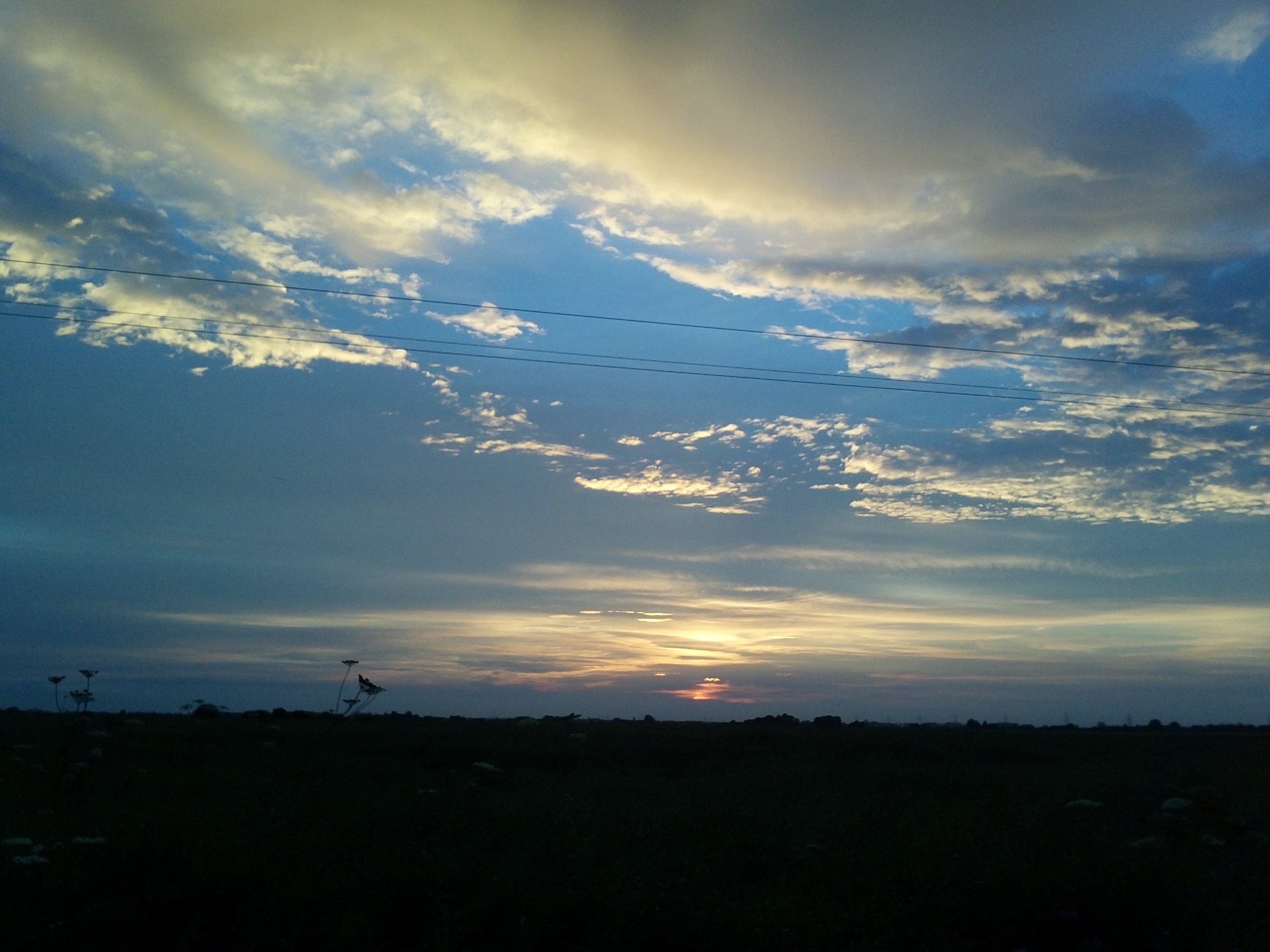
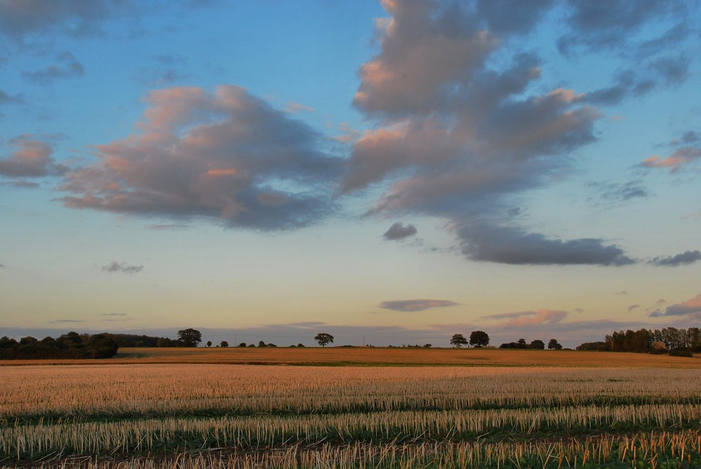
Norfolk Sunrise

The ruined church of St Mary's Islington
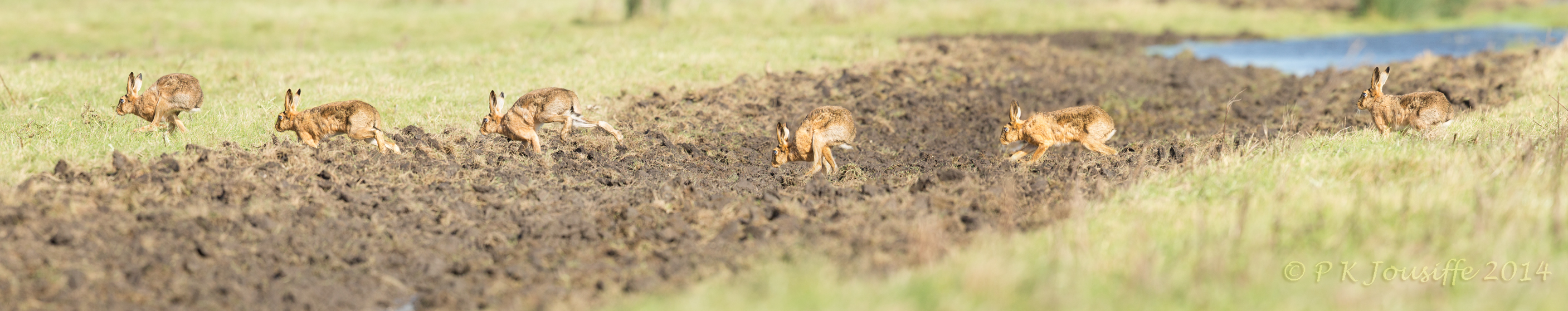
Hares on the run
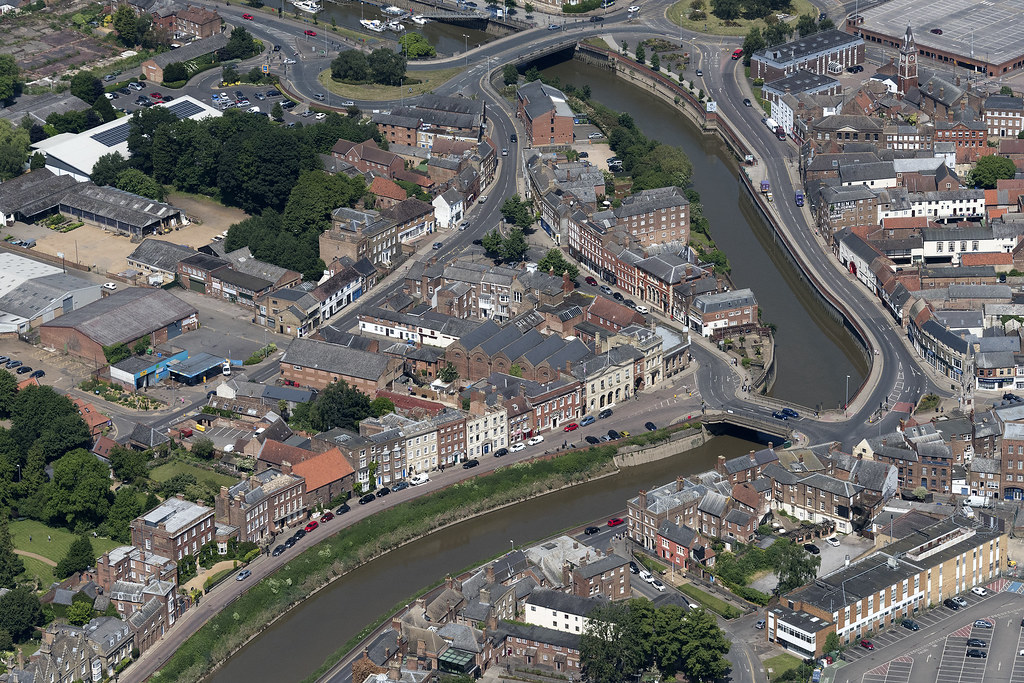
The River Nene running through Wisbech - aerial
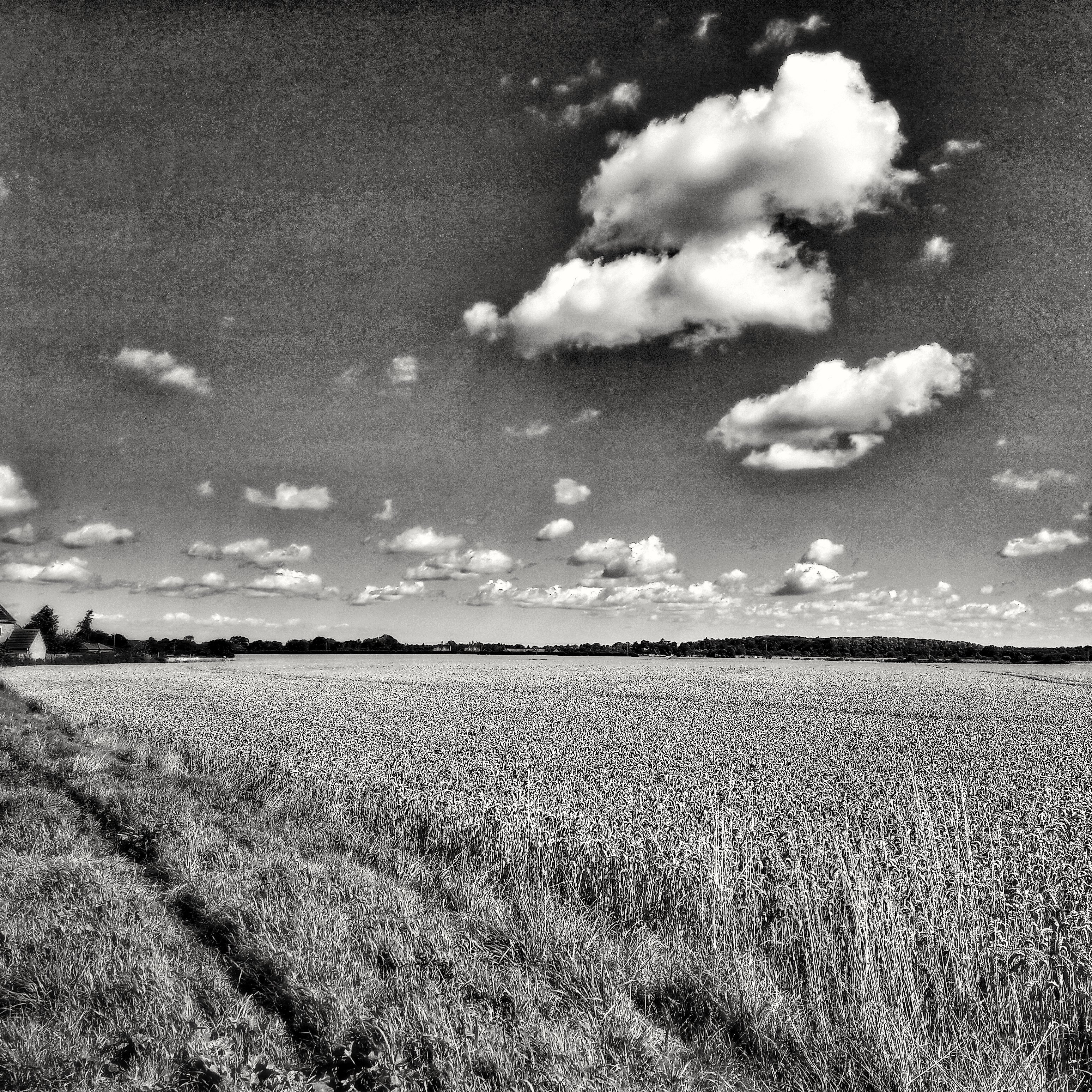
Summer contrasts of Landscape
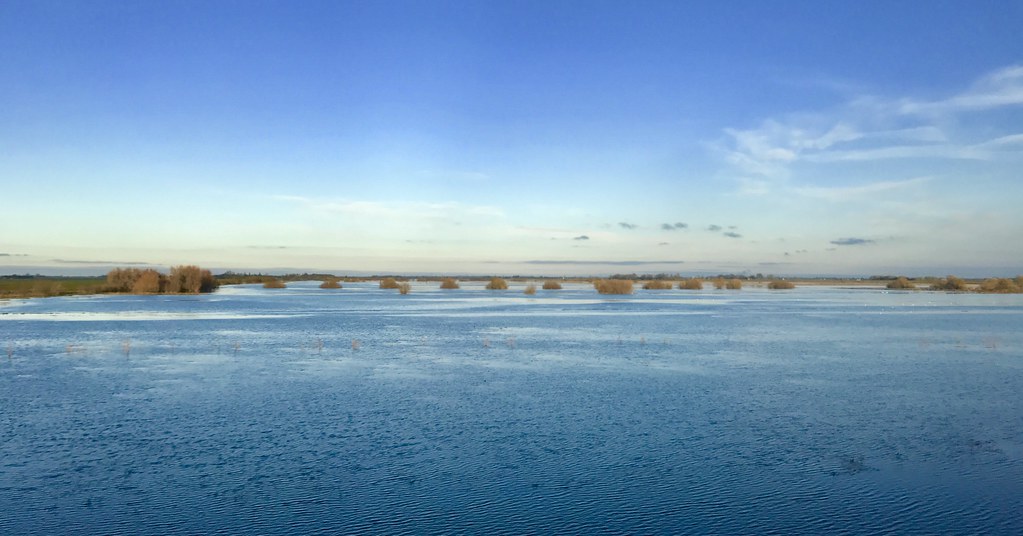
Welney Washes
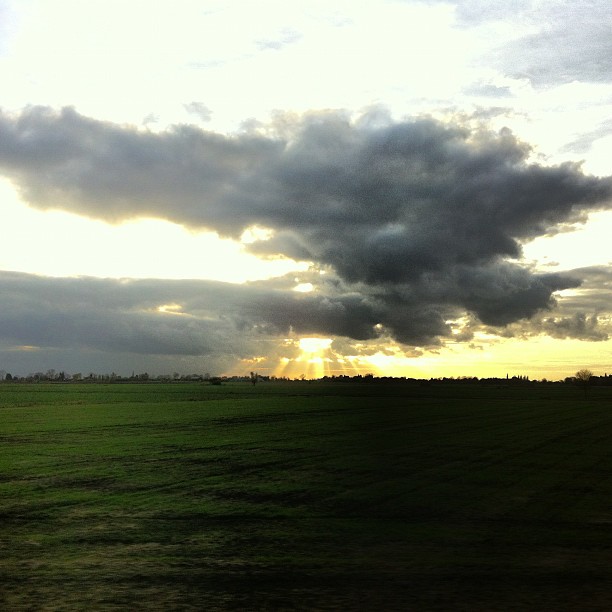
The sky's gone all William Blake.
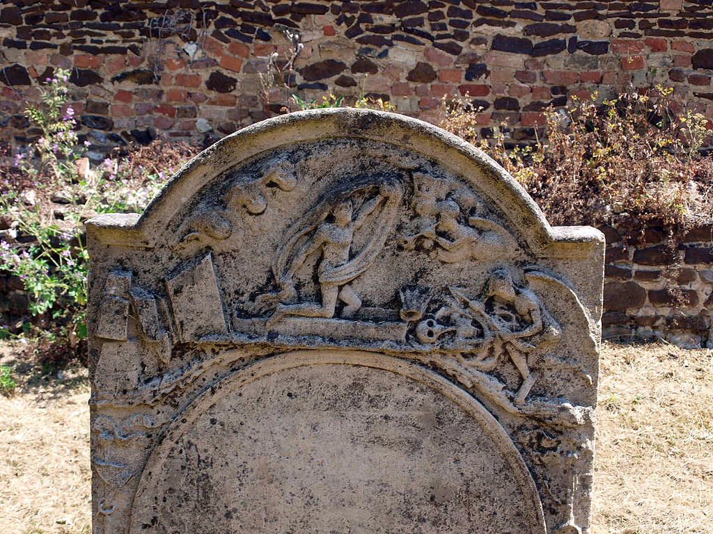
Headstone (8)

PJGCC-.jpg
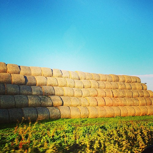
BALE!
First time visiting #WWTwelney and it was snowing!❄⛄ #welney #Norfolk #eastofengland #england #hibernot #icu_britain #ukpotd #ic_landscapes #loves_united_kingdom #ig_britishisles #britains_talent #capturingbritain #rsa_nature #yonderapp #ig_camera
There are hills in Norfolk...just.
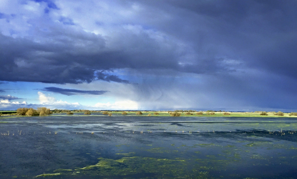
Welney Washes

Wind turbines

Nuages de fer

Wetlands Landscape
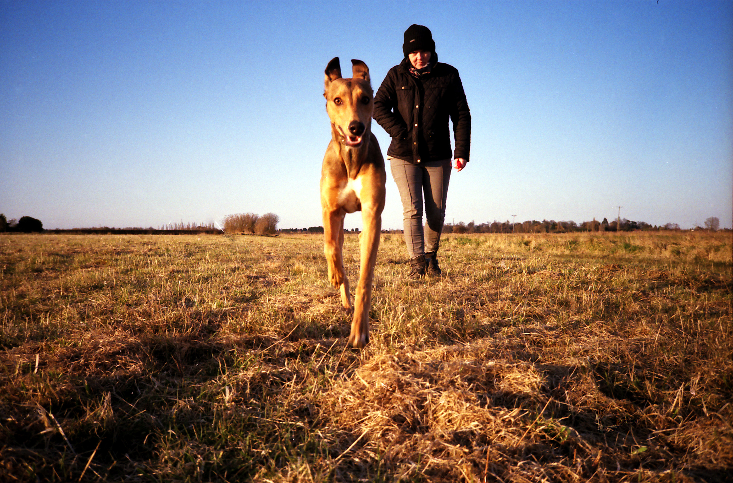
Dog Attack

A field of sticks
Topographic Map of Pius Drove, Upwell, Wisbech PE14, UK
Find elevation by address:

Places near Pius Drove, Upwell, Wisbech PE14, UK:
Upwell
Low Side
Pe14 9ew
100 Townsend Rd
Emneth
Friday Bridge
Charles Street
Charles Street
Wisbech
Leverington
Tilney Saint Lawrence
Salters Lode
Pe34 4qq
Wisbech Saint Mary
Elm Road
Elm Road
Elm Road
The Sycamores
High Road
Gorefield
Recent Searches:
- Elevation of Corso Fratelli Cairoli, 35, Macerata MC, Italy
- Elevation of Tallevast Rd, Sarasota, FL, USA
- Elevation of 4th St E, Sonoma, CA, USA
- Elevation of Black Hollow Rd, Pennsdale, PA, USA
- Elevation of Oakland Ave, Williamsport, PA, USA
- Elevation of Pedrógão Grande, Portugal
- Elevation of Klee Dr, Martinsburg, WV, USA
- Elevation of Via Roma, Pieranica CR, Italy
- Elevation of Tavkvetili Mountain, Georgia
- Elevation of Hartfords Bluff Cir, Mt Pleasant, SC, USA