Elevation of Pitcairn Island, PCRN 1ZZ, Pitcairn Islands
Location: Pitcairn Islands >
Longitude: -130.10686
Latitude: -25.067915
Elevation: 195m / 640feet
Barometric Pressure: 99KPa
Elevation Map:
Satellite Map:
Related Photos:
Pitcairn harbor.jpg
880625 Quad bike tour of Pitcairn
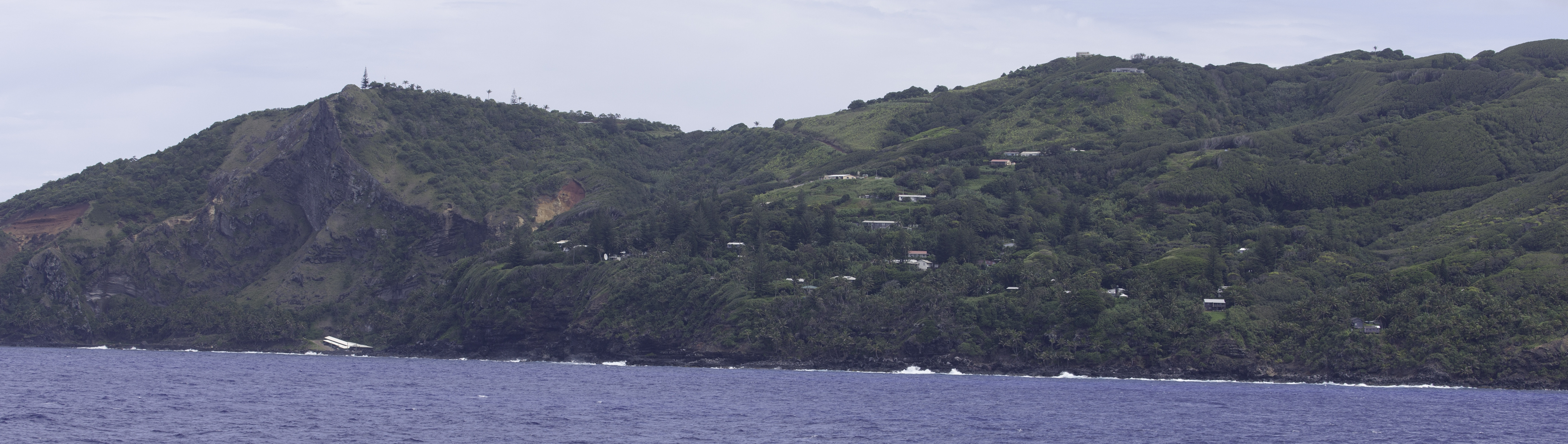
215. Morning approach to Pitcairn Island
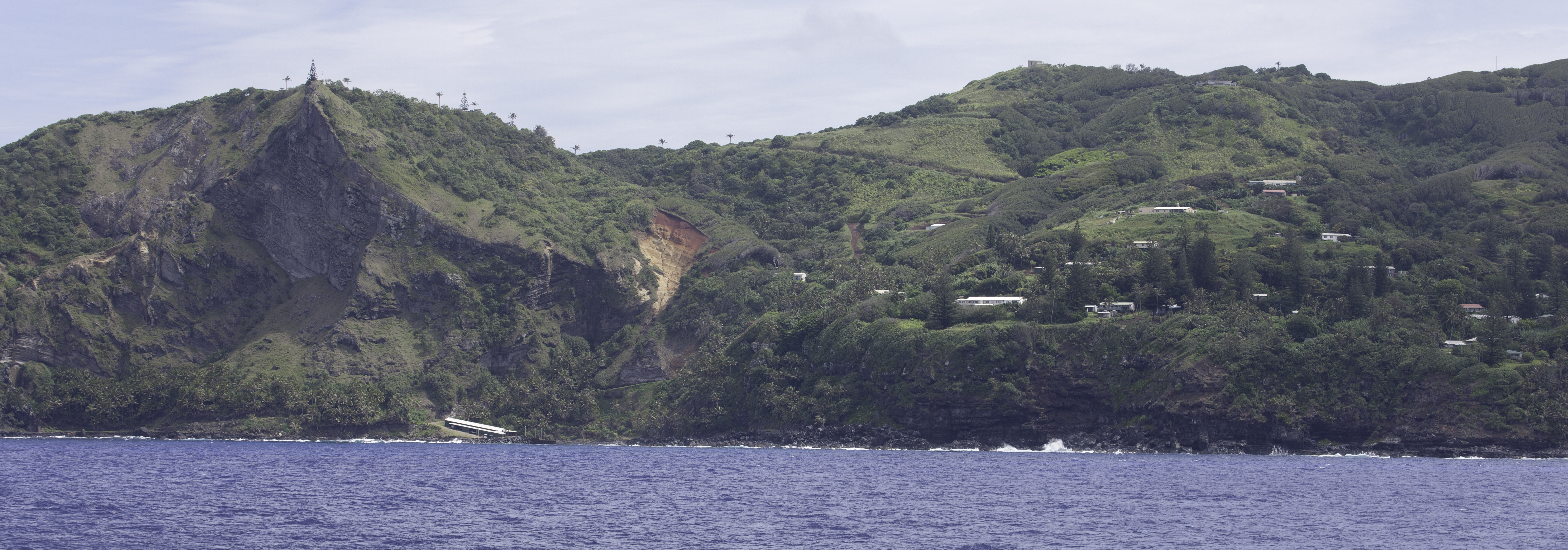
Pitcairn Island
Pitcairn Island

Pitcairn Island

Pitcairn Island

Pitcairn Island
Pitcairn Island

Pitcairn Island

214. Morning approach to Pitcairn Island
Topographic Map of Pitcairn Island, PCRN 1ZZ, Pitcairn Islands
Find elevation by address:

Places near Pitcairn Island, PCRN 1ZZ, Pitcairn Islands:
Recent Searches:
- Elevation of Corso Fratelli Cairoli, 35, Macerata MC, Italy
- Elevation of Tallevast Rd, Sarasota, FL, USA
- Elevation of 4th St E, Sonoma, CA, USA
- Elevation of Black Hollow Rd, Pennsdale, PA, USA
- Elevation of Oakland Ave, Williamsport, PA, USA
- Elevation of Pedrógão Grande, Portugal
- Elevation of Klee Dr, Martinsburg, WV, USA
- Elevation of Via Roma, Pieranica CR, Italy
- Elevation of Tavkvetili Mountain, Georgia
- Elevation of Hartfords Bluff Cir, Mt Pleasant, SC, USA