Elevation of Piplan, Mianwali, Punjab, Pakistan
Location: Pakistan > Punjab > Mianwali District >
Longitude: 71.4774291
Latitude: 32.3149372
Elevation: 199m / 653feet
Barometric Pressure: 99KPa
Elevation Map:
Satellite Map:
Related Photos:

Water is pakistan

Sun set
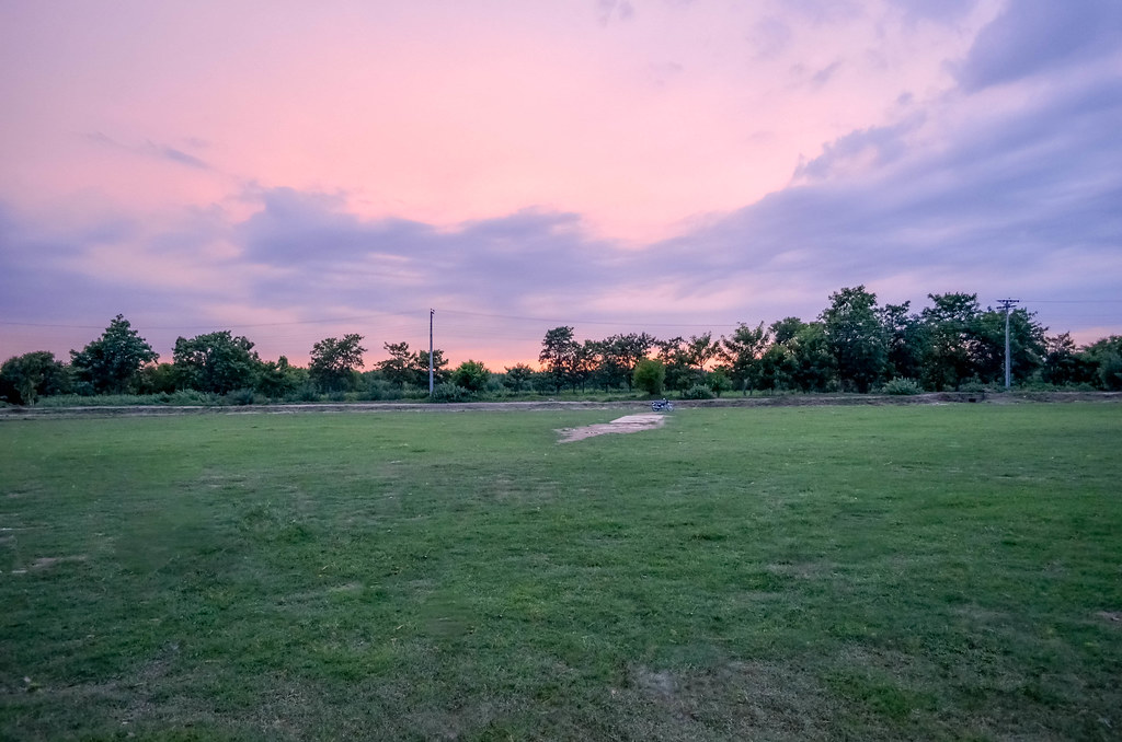
Cricket ground

The #sunset at the chashma #lake

Local Mosque

Club Cricket

going home

DSC_0025-4

:-P

New Image234

F@h@ð1148

F@h@ð1149

Family ride

village boy

DSC_0a294-3

@@

New Image

DSC_0031-2

Bulb pho

_DSC0079-2

_DSC0078-2
Topographic Map of Piplan, Mianwali, Punjab, Pakistan
Find elevation by address:

Places in Piplan, Mianwali, Punjab, Pakistan:
Places near Piplan, Mianwali, Punjab, Pakistan:
Paharpur
西蘭河
Barkat Khan
Dera Ismail Khan
Qurtuba University Of Science And Information Technology
Gomal University (city Campus)
Dera Ismail Khan
Dera Ismail Khan
Nawan Kot
Layyah
Chak 113 Tdk
Chowk Azam
Layyah - Chowk Azam Road
Recent Searches:
- Elevation of Corso Fratelli Cairoli, 35, Macerata MC, Italy
- Elevation of Tallevast Rd, Sarasota, FL, USA
- Elevation of 4th St E, Sonoma, CA, USA
- Elevation of Black Hollow Rd, Pennsdale, PA, USA
- Elevation of Oakland Ave, Williamsport, PA, USA
- Elevation of Pedrógão Grande, Portugal
- Elevation of Klee Dr, Martinsburg, WV, USA
- Elevation of Via Roma, Pieranica CR, Italy
- Elevation of Tavkvetili Mountain, Georgia
- Elevation of Hartfords Bluff Cir, Mt Pleasant, SC, USA