Elevation of Pioneer Ridge Ln, Butler, TN, USA
Location: United States > Tennessee > Johnson County > Butler >
Longitude: -81.995906
Latitude: 36.376397
Elevation: 676m / 2218feet
Barometric Pressure: 93KPa
Elevation Map:
Satellite Map:
Related Photos:

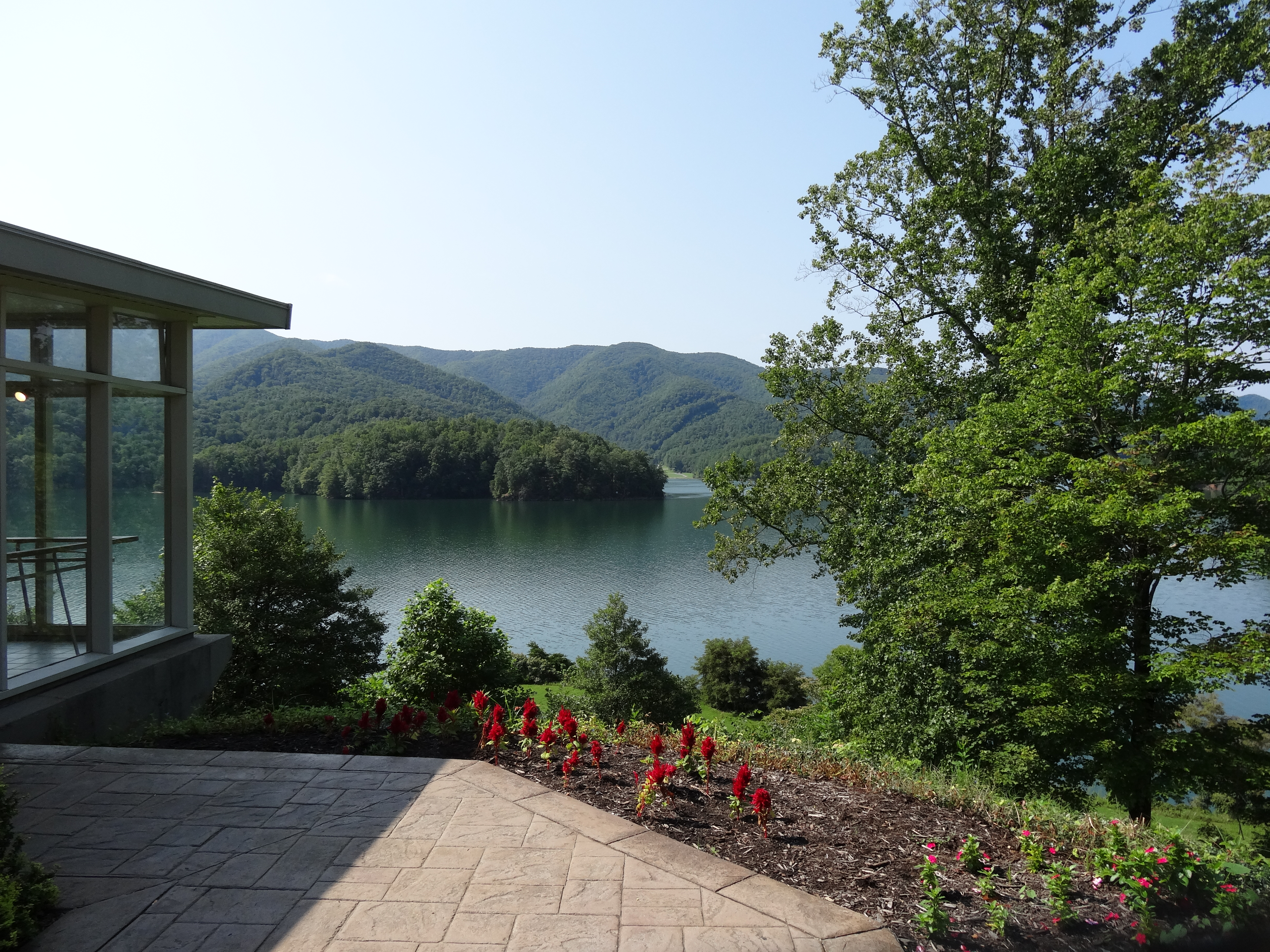
Watauga Lake, Carter County, TN5

watagua cabin frame

Watauga Lake, Carter County, TN3

The view
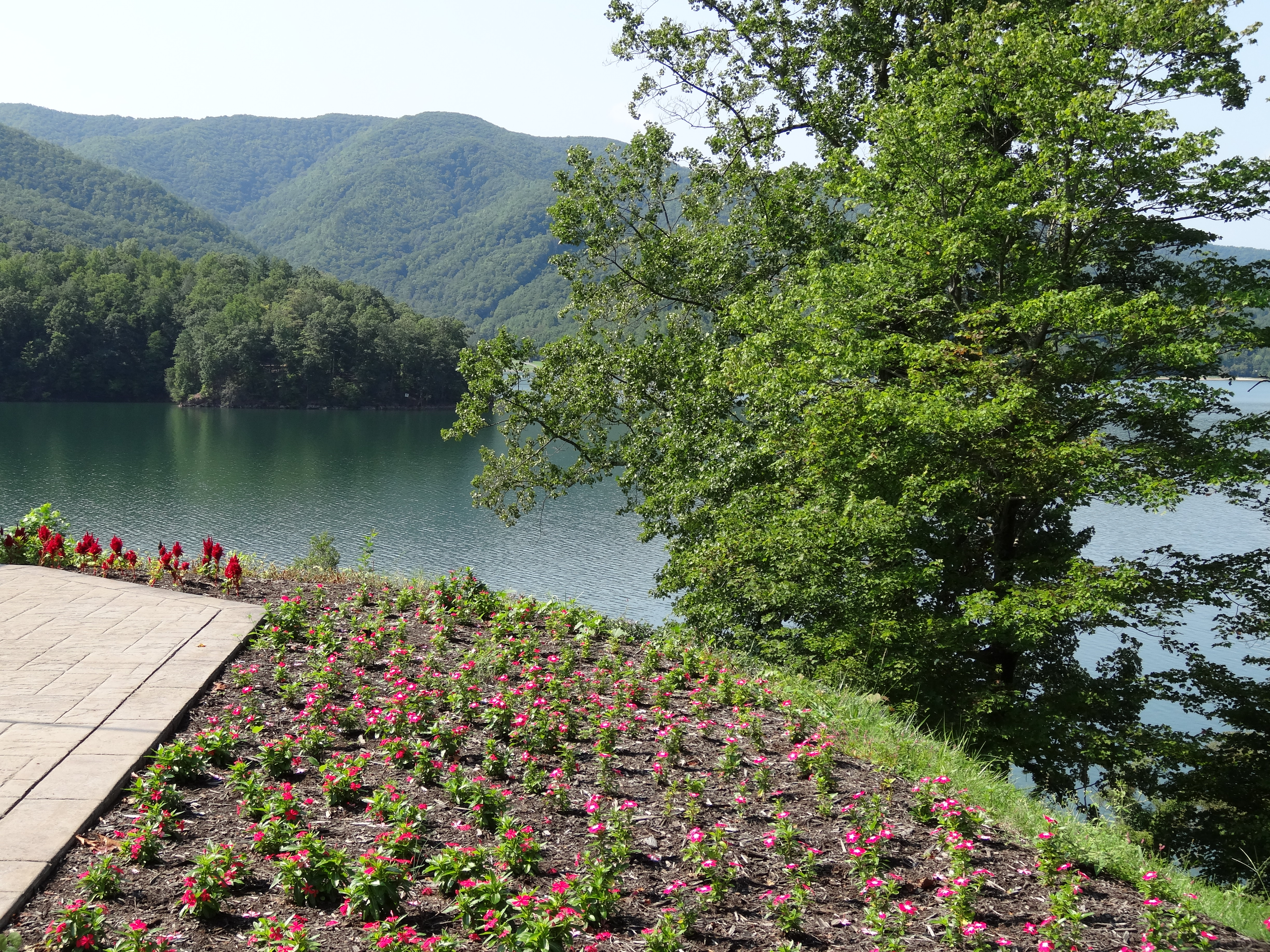
Watauga Lake, Carter County, TN

Appalachian Trail

Watauga Lake

Appalachian Trail

Watauga Lake, Carter County, TN2
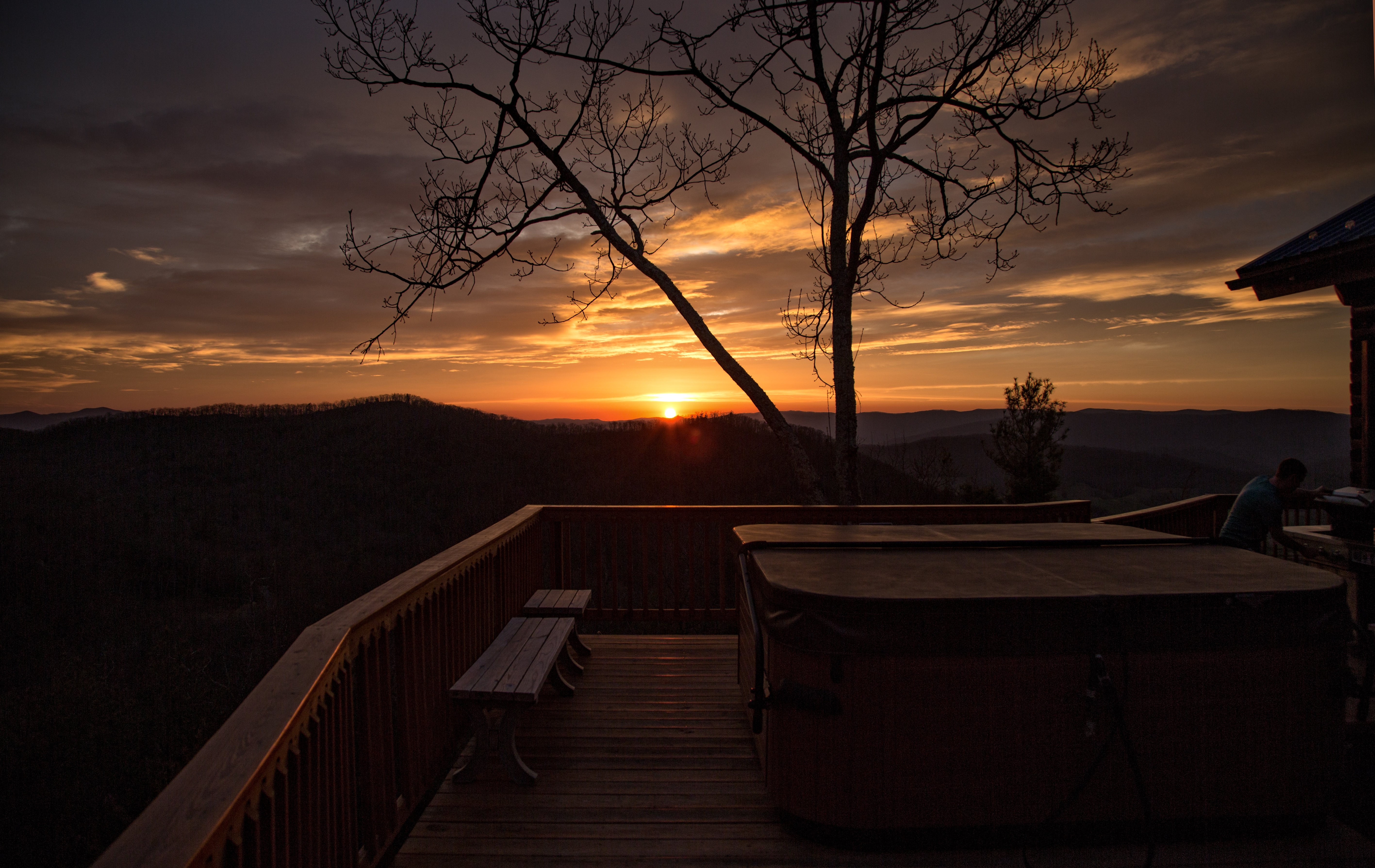
Cloud 9 Hot Tub View

Watauga Lake, Carter County, TN4

Watauga Lake, Carter County, TN2

Watauga Lake, Carter County, TN3

View from Vandeventer Shelter

View from Vandeventer Shelter

Osborne Tract, Appalachian NST, Shady Valley, TN5

Watauga Lake Dam

Watauga Lake Visitors Center, Carter County, TN
Watauga Lake Visitors Center, Carter County, TN

Osborne Tract, Appalachian NST, Shady Valley, TN2

Vandeventer Shelter, Appalachian NST, TN

Blue Hole Lower

Shook Branch Recreation Area, Hampton, TN

Favorites from iPhone
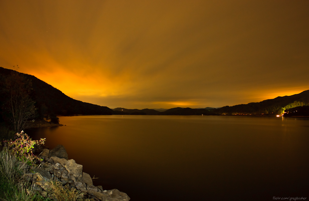
Watauga Lake at Night

Favorites from iPhone

watagua lake

watagua lake
Watauga Lake

Laurel Fork Falls
Loading the boat

IMG_1482.jpg
Blue Hole Falls, Carter County, TN4

Mallard's Solitude
Blue Hole Falls

C.R. "Doodle" White Overlook
Topographic Map of Pioneer Ridge Ln, Butler, TN, USA
Find elevation by address:

Places near Pioneer Ridge Ln, Butler, TN, USA:
Sink Valley Road
330 Grindstaff Rd
5610 Sink Valley Rd
6070 Sink Valley Rd
449 Linda Ln
Howes Lane
15539 Tn-67
Kyte Hollow Road
Mountain Wynd Lane
Watauga Lake
Butler
741 Mcqueen St
177 Mcqueen St
936 Atwood Rd
Harbor View Road
329 Harbor View Rd
1219 Doe Creek Rd
115 Harbor View Rd
Hill Road
Hill Road
Recent Searches:
- Elevation of Corso Fratelli Cairoli, 35, Macerata MC, Italy
- Elevation of Tallevast Rd, Sarasota, FL, USA
- Elevation of 4th St E, Sonoma, CA, USA
- Elevation of Black Hollow Rd, Pennsdale, PA, USA
- Elevation of Oakland Ave, Williamsport, PA, USA
- Elevation of Pedrógão Grande, Portugal
- Elevation of Klee Dr, Martinsburg, WV, USA
- Elevation of Via Roma, Pieranica CR, Italy
- Elevation of Tavkvetili Mountain, Georgia
- Elevation of Hartfords Bluff Cir, Mt Pleasant, SC, USA