Elevation of Pingliang, Gansu, China
Location: China > Gansu >
Longitude: 106.665131
Latitude: 35.543061
Elevation: 1397m / 4583feet
Barometric Pressure: 86KPa
Elevation Map:
Satellite Map:
Related Photos:
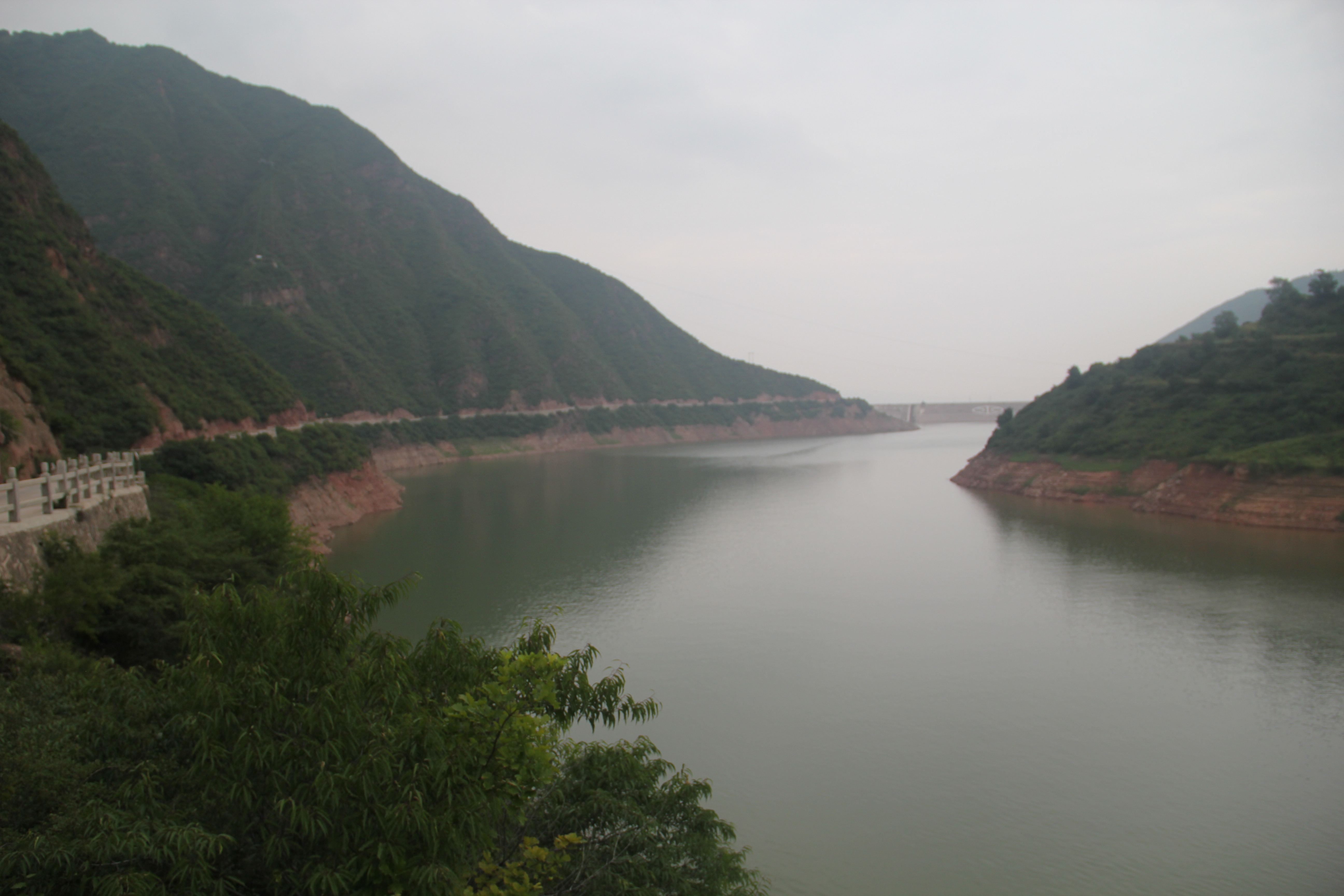
水库

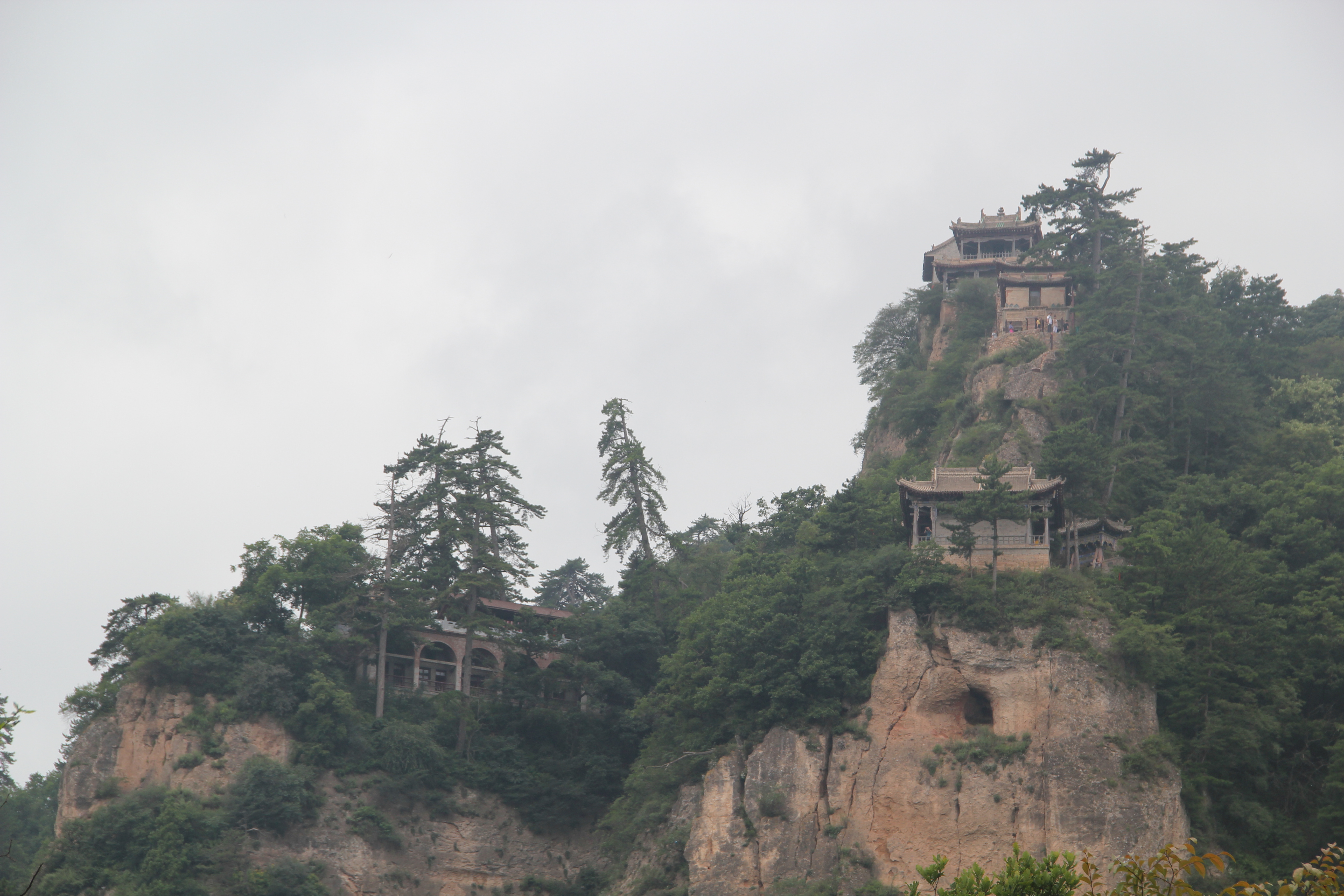
崆峒山
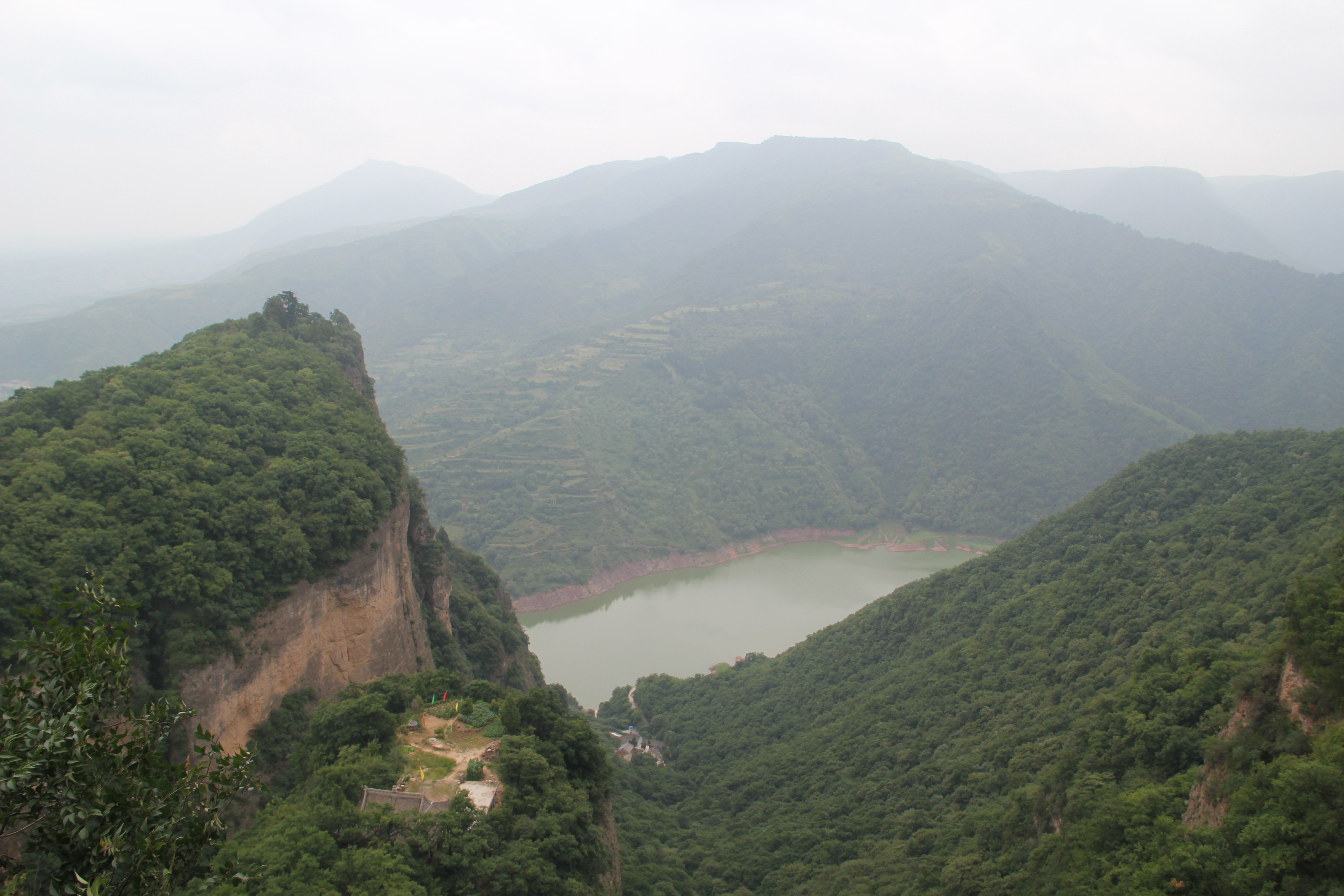
崆峒山

水库
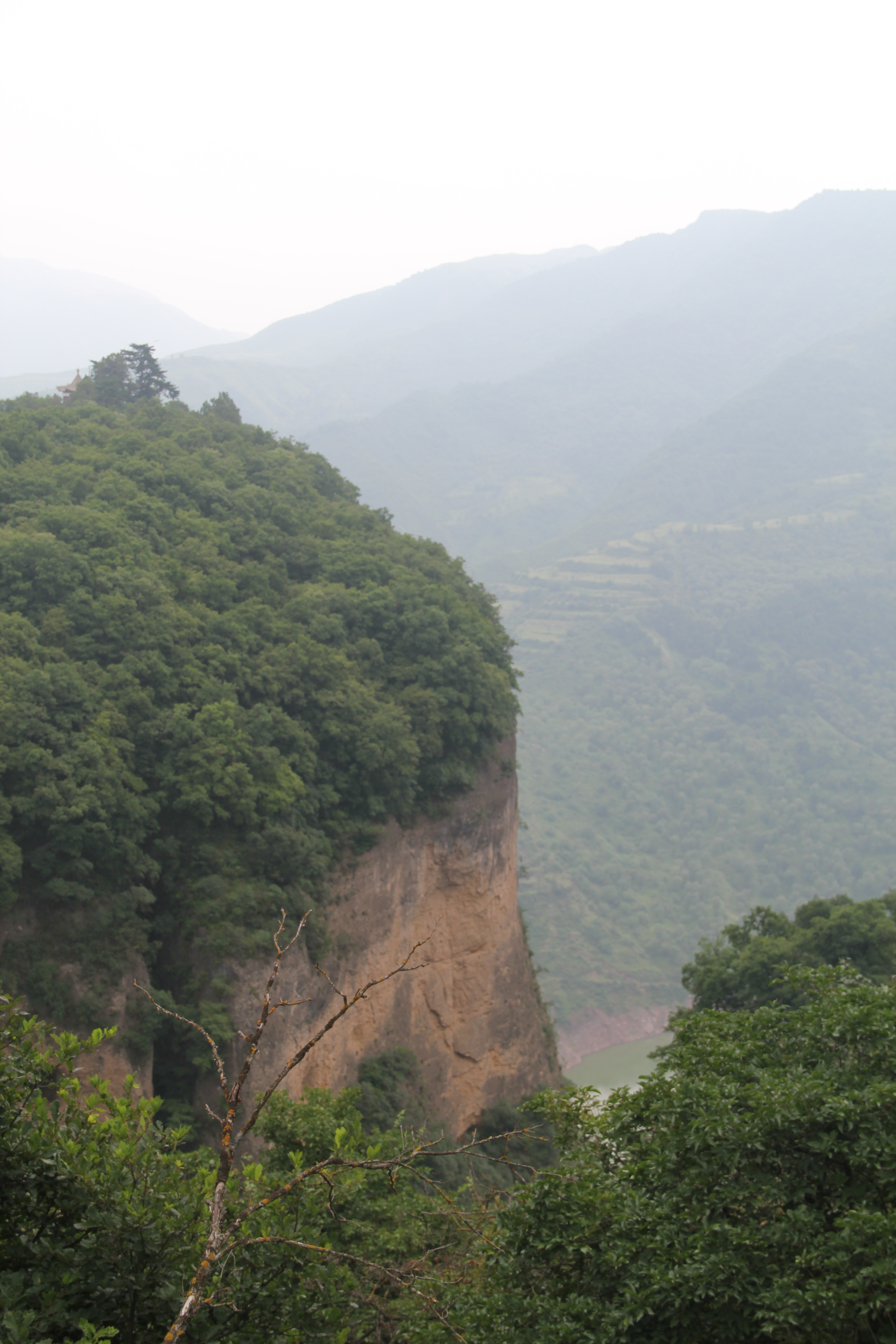
崆峒山

崆峒山
崆峒山
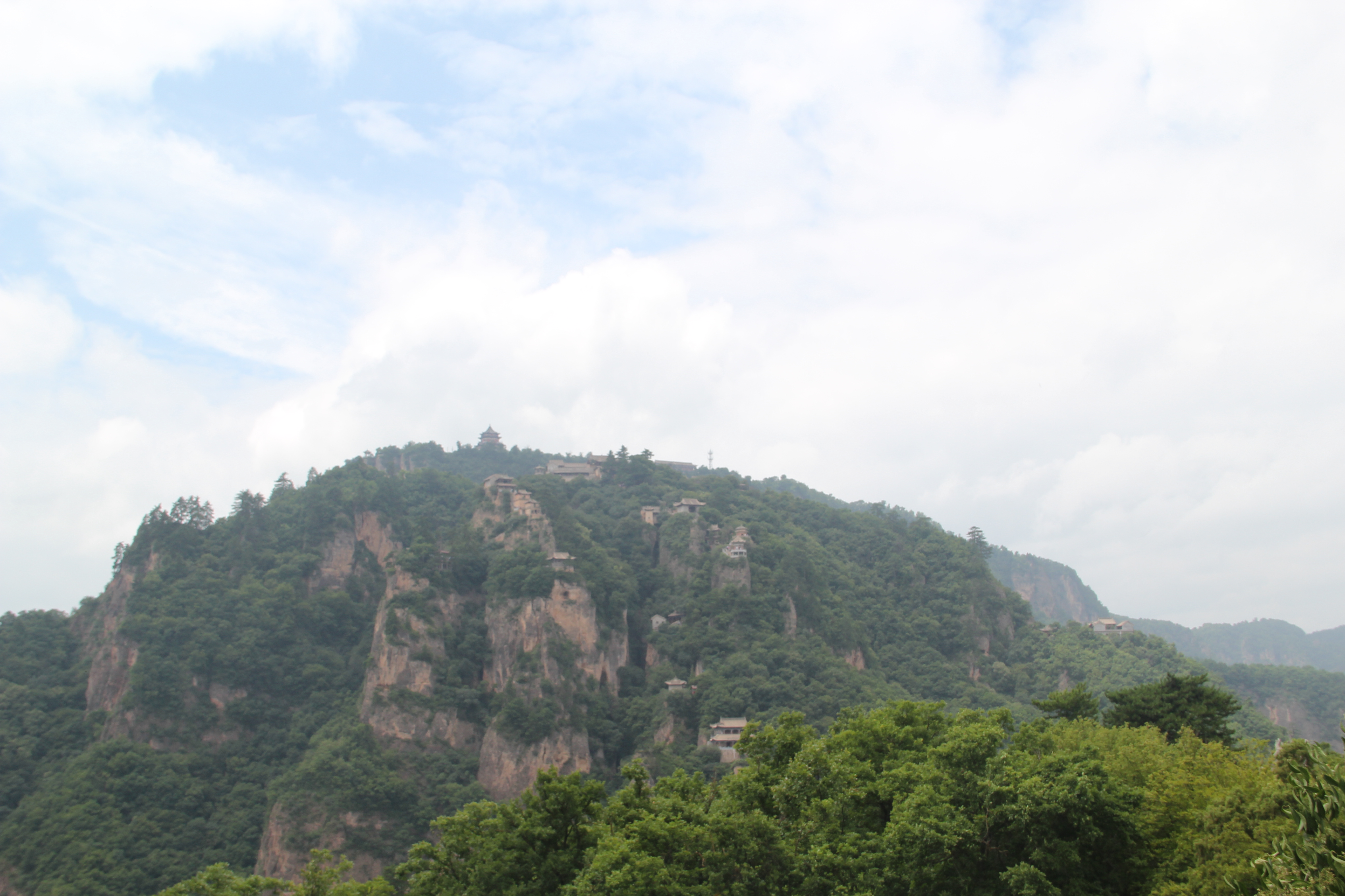
崆峒山
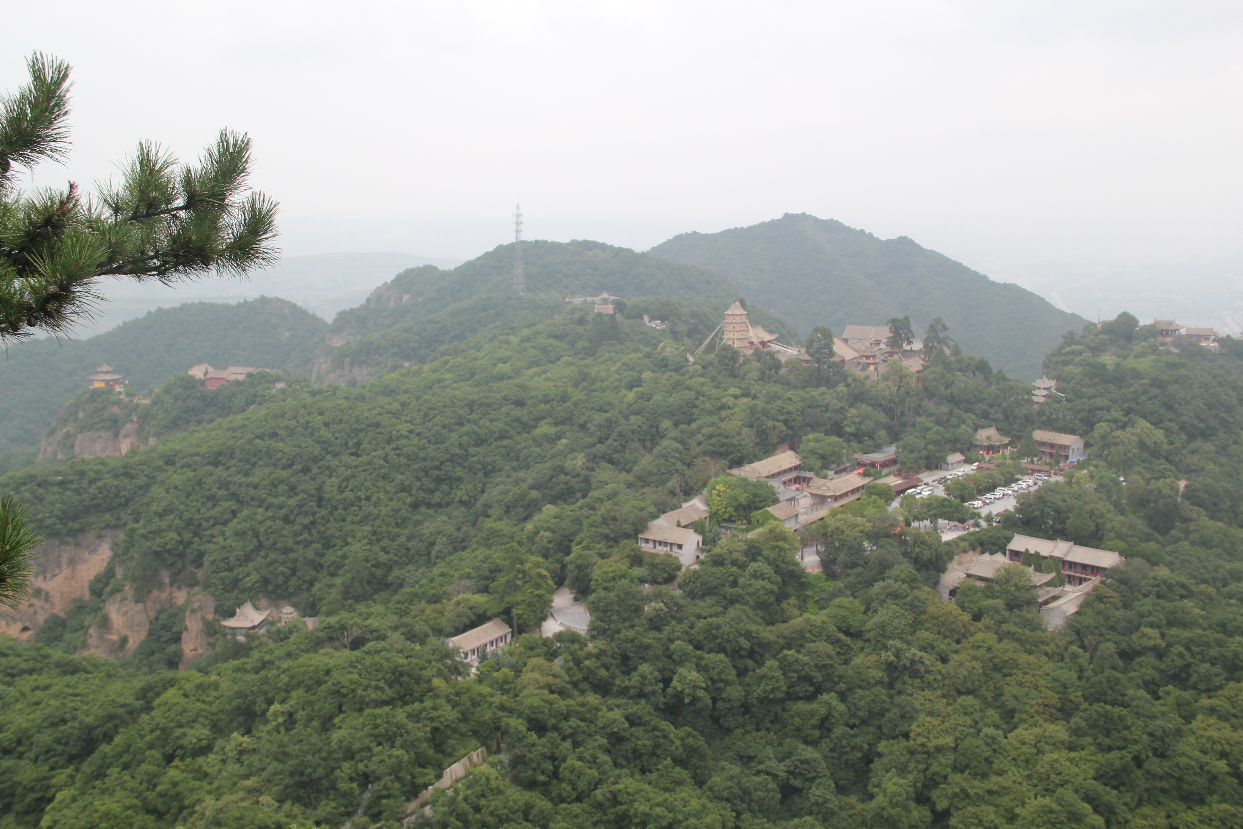
崆峒山

China 中华人民共和国, GanSu 甘肃,
Topographic Map of Pingliang, Gansu, China
Find elevation by address:

Places in Pingliang, Gansu, China:
Recent Searches:
- Elevation of Corso Fratelli Cairoli, 35, Macerata MC, Italy
- Elevation of Tallevast Rd, Sarasota, FL, USA
- Elevation of 4th St E, Sonoma, CA, USA
- Elevation of Black Hollow Rd, Pennsdale, PA, USA
- Elevation of Oakland Ave, Williamsport, PA, USA
- Elevation of Pedrógão Grande, Portugal
- Elevation of Klee Dr, Martinsburg, WV, USA
- Elevation of Via Roma, Pieranica CR, Italy
- Elevation of Tavkvetili Mountain, Georgia
- Elevation of Hartfords Bluff Cir, Mt Pleasant, SC, USA