Elevation of Pine Grove Volcano Road & Tobacco Road, Pine Grove Volcano Rd & Tobacco Rd, Pine Grove, CA, USA
Location: United States > California > Amador County > Pine Grove >
Longitude: -120.64340
Latitude: 38.4144845
Elevation: 714m / 2343feet
Barometric Pressure: 93KPa
Elevation Map:
Satellite Map:
Related Photos:

Digital watercolor Old Kennedy Gold Mine Equipment

Old Kennedy Gold Mine Equipment HDR

Looking east towards the mountains

Happy Fence Friday

Little Church in the Sierra Nevada Foothills HDR

Sierra Nevada Foothills HDR

Looking east towards the mountains

Looking east towards the mountains

Happy Fence Friday
Old Kennedy Gold Mine Equipment HDR - Happy Sliders Sunday
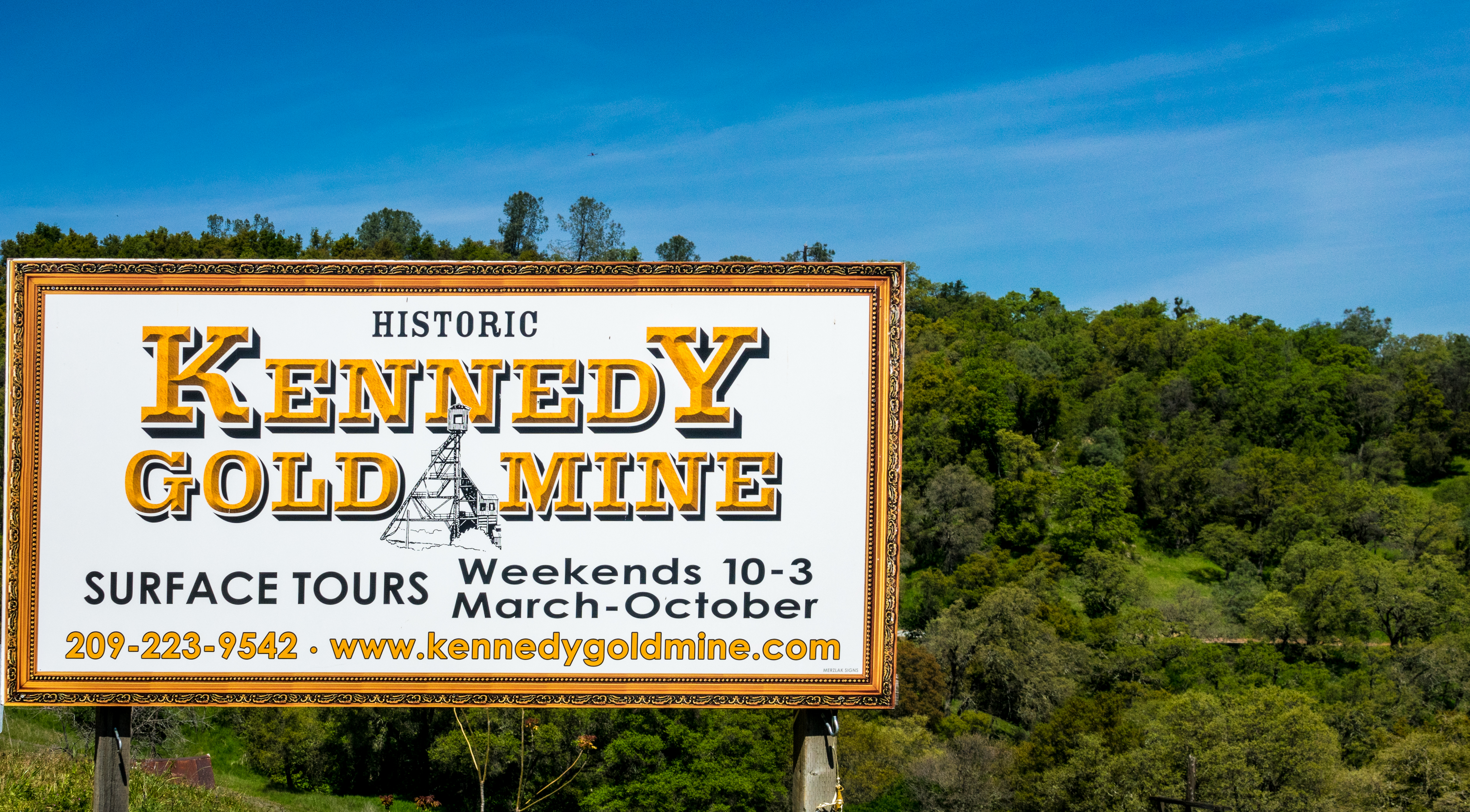
Historic Kennedy Gold Mine - Happy Sign Sunday

Outside the Cheese Shop

Butte Fire from the Highway 49 Vista Point, Jackson

Watching Smoke
Patio views Il Gioiello tasting room

Patio views Il Gioiello tasting room

Patio views Il Gioiello tasting room

Patio views Il Gioiello tasting room

Patio views Il Gioiello tasting room

Miwok Ceremonial Roundhouse, 6 of 6

Indian Grinding Rock

The Veins of an Oak at Sunset - Sutter Creek, CA

From Sutter Creek***

Outside Amador City

Black Chasm Cave Tour

Drapery Stalactites

Panorama from the Mokelumne Hill Airstrip

Jackson Butte from Mokelumne Hill
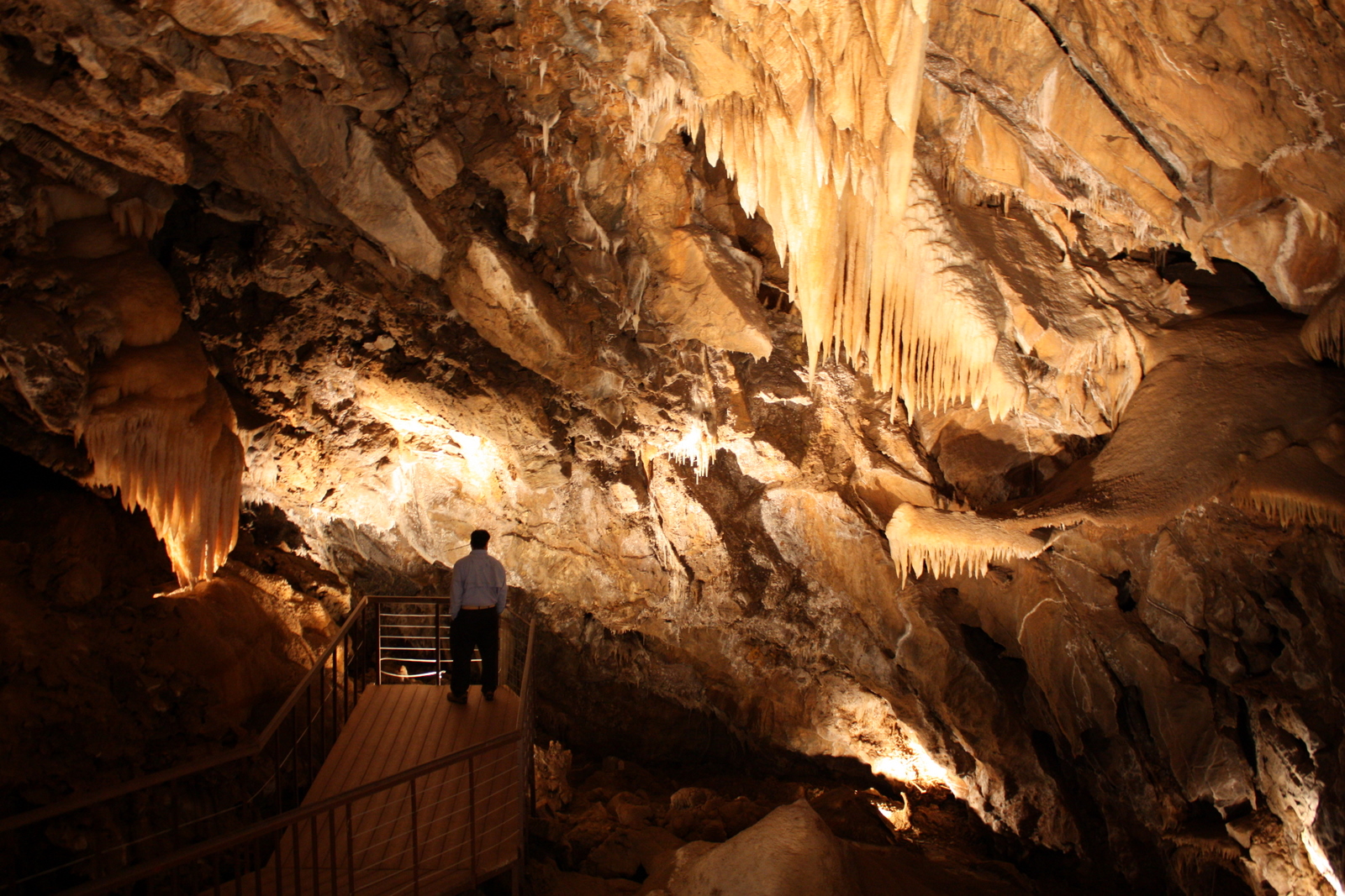
Black Chasm Cavern

Black Chasm Caverns

Black Chasm Cavern

Black Chasm Caverns

Sutter Creek,

Black Chasm Caverns

Black Chasm Caverns

u’macha (bark house)

Driven, Winery

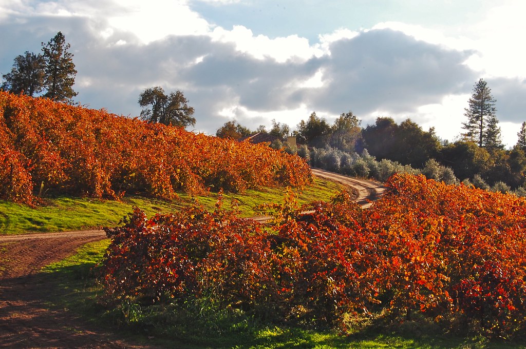
Blooming hills
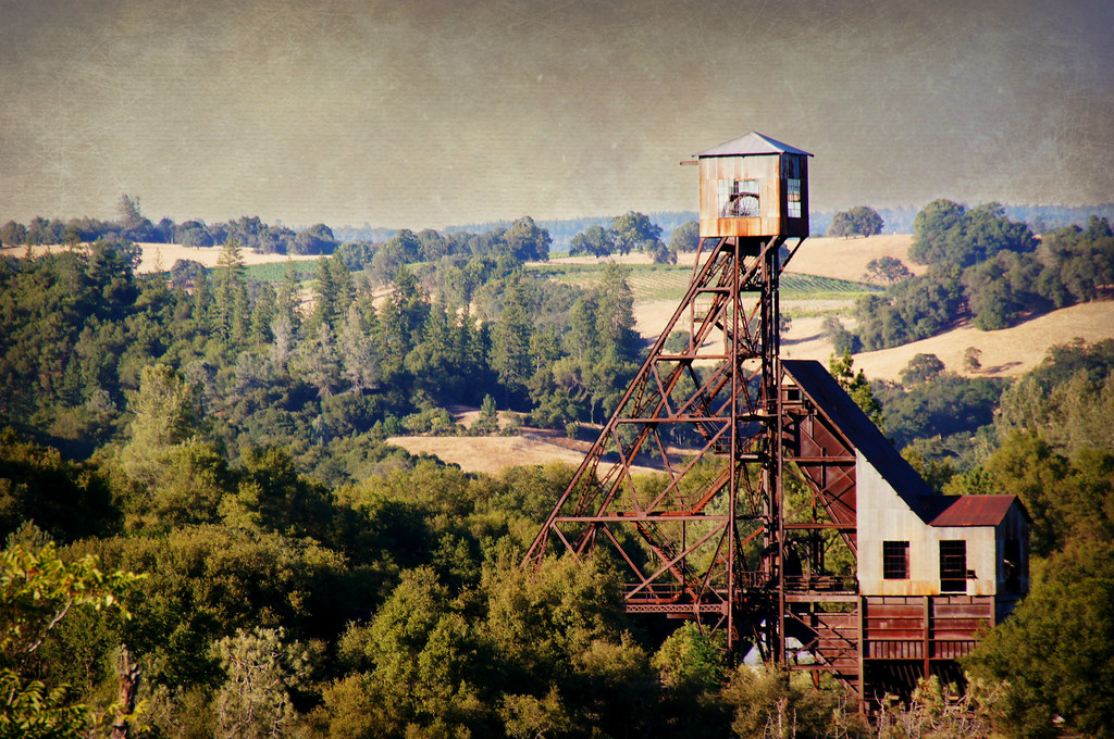
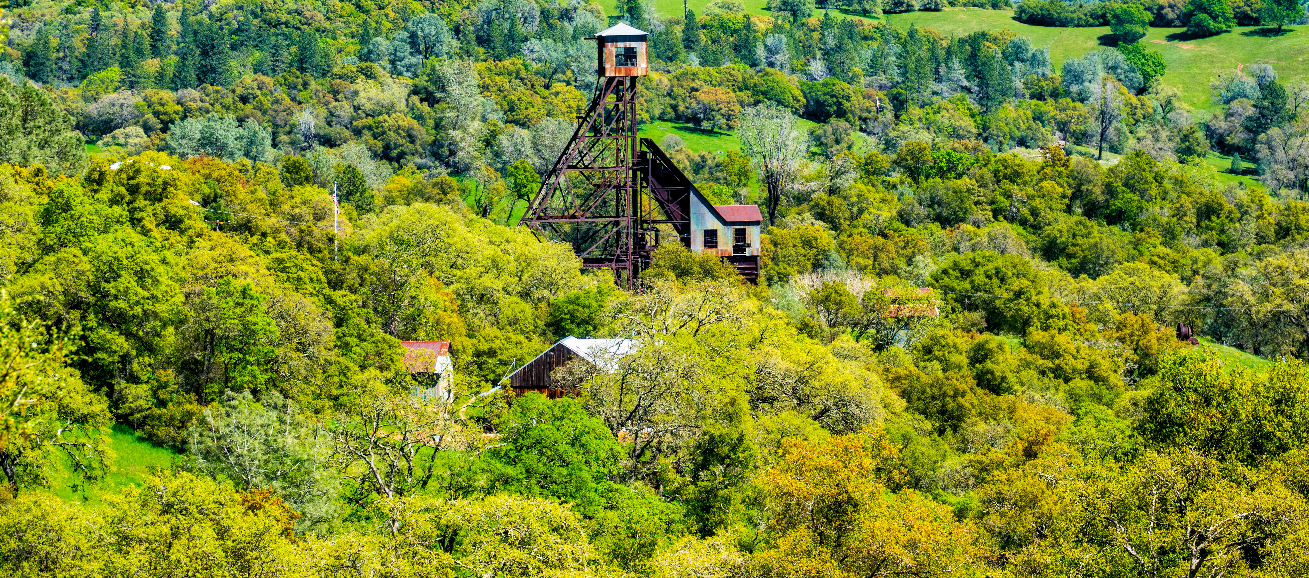
Kennedy Goldmine Headframe

Butte Fire, Amador and Calaveras Counties

Odd Fellows Hall, Mokelumne Hill
Topographic Map of Pine Grove Volcano Road & Tobacco Road, Pine Grove Volcano Rd & Tobacco Rd, Pine Grove, CA, USA
Find elevation by address:

Places near Pine Grove Volcano Road & Tobacco Road, Pine Grove Volcano Rd & Tobacco Rd, Pine Grove, CA, USA:
Pine Grove Volcano Road & Tobacco Road
Pine Grove Volcano Road & Aqueduct Volcano Road
20485 Wild Iris Ln
20485 Wild Iris Ln
20485 Wild Iris Ln
13832 Gold Mine Rd
Pine Grove Volcano Road & Bryson Lane
20371 Ca-88
Frontier Station
Belinda & Steve's Feed Seed & Supply
Pine Grove Elementary School
El Dorado Savings Bank
Mt. Zion Church
United States Postal Service
14424 Knoll Ct
Indian Grinding Rock State Historic Park
Jackson Tire Service
14446 Knoll Ct
Pine Grove Volcano Road & Crestview Drive
14036 Hilltop
Recent Searches:
- Elevation of 62 Abbey St, Marshfield, MA, USA
- Elevation of Fernwood, Bradenton, FL, USA
- Elevation of Felindre, Swansea SA5 7LU, UK
- Elevation of Leyte Industrial Development Estate, Isabel, Leyte, Philippines
- Elevation of W Granada St, Tampa, FL, USA
- Elevation of Pykes Down, Ivybridge PL21 0BY, UK
- Elevation of Jalan Senandin, Lutong, Miri, Sarawak, Malaysia
- Elevation of Bilohirs'k
- Elevation of 30 Oak Lawn Dr, Barkhamsted, CT, USA
- Elevation of Luther Road, Luther Rd, Auburn, CA, USA