Elevation of Pilgrim Park, Warwick, RI, USA
Location: United States > Rhode Island > Kent County > Warwick >
Longitude: -71.411028
Latitude: 41.7494805
Elevation: 13m / 43feet
Barometric Pressure: 101KPa
Elevation Map:
Satellite Map:
Related Photos:
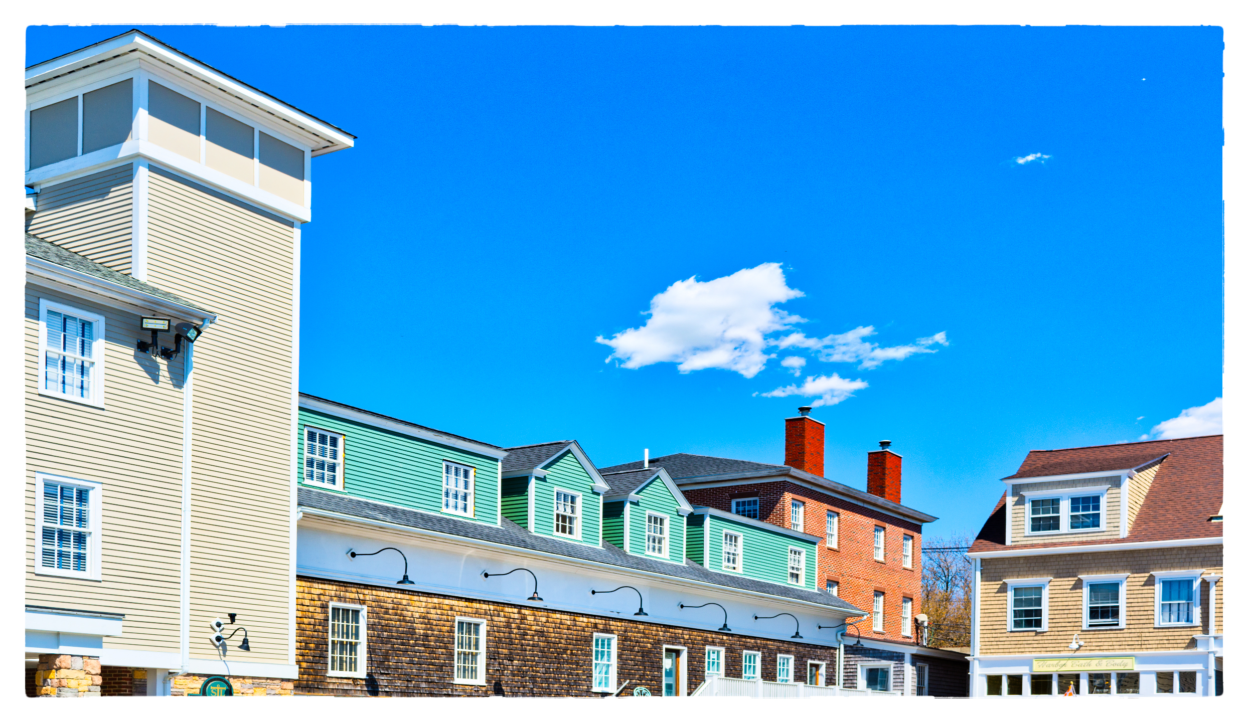
Courtyard View
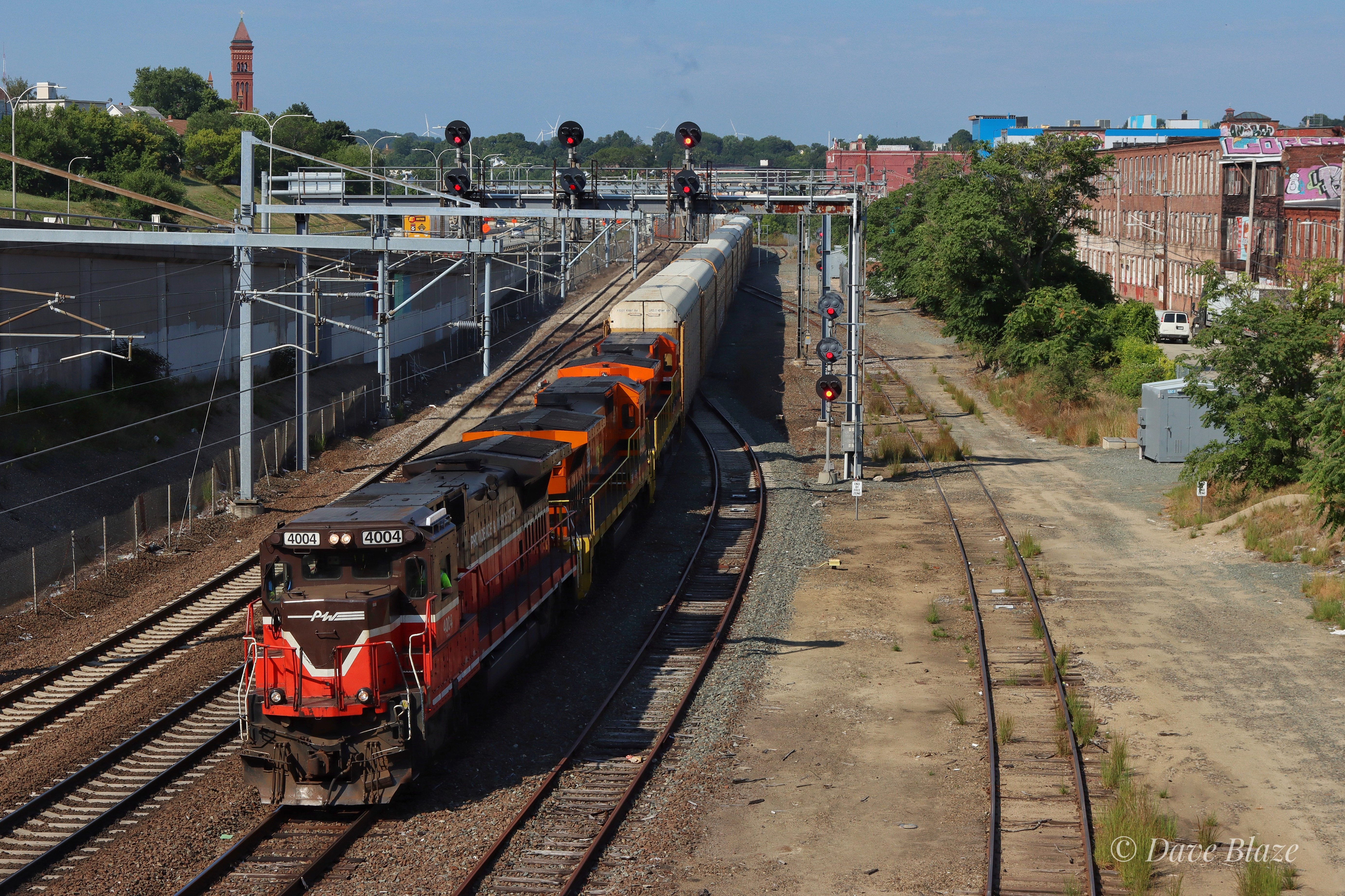
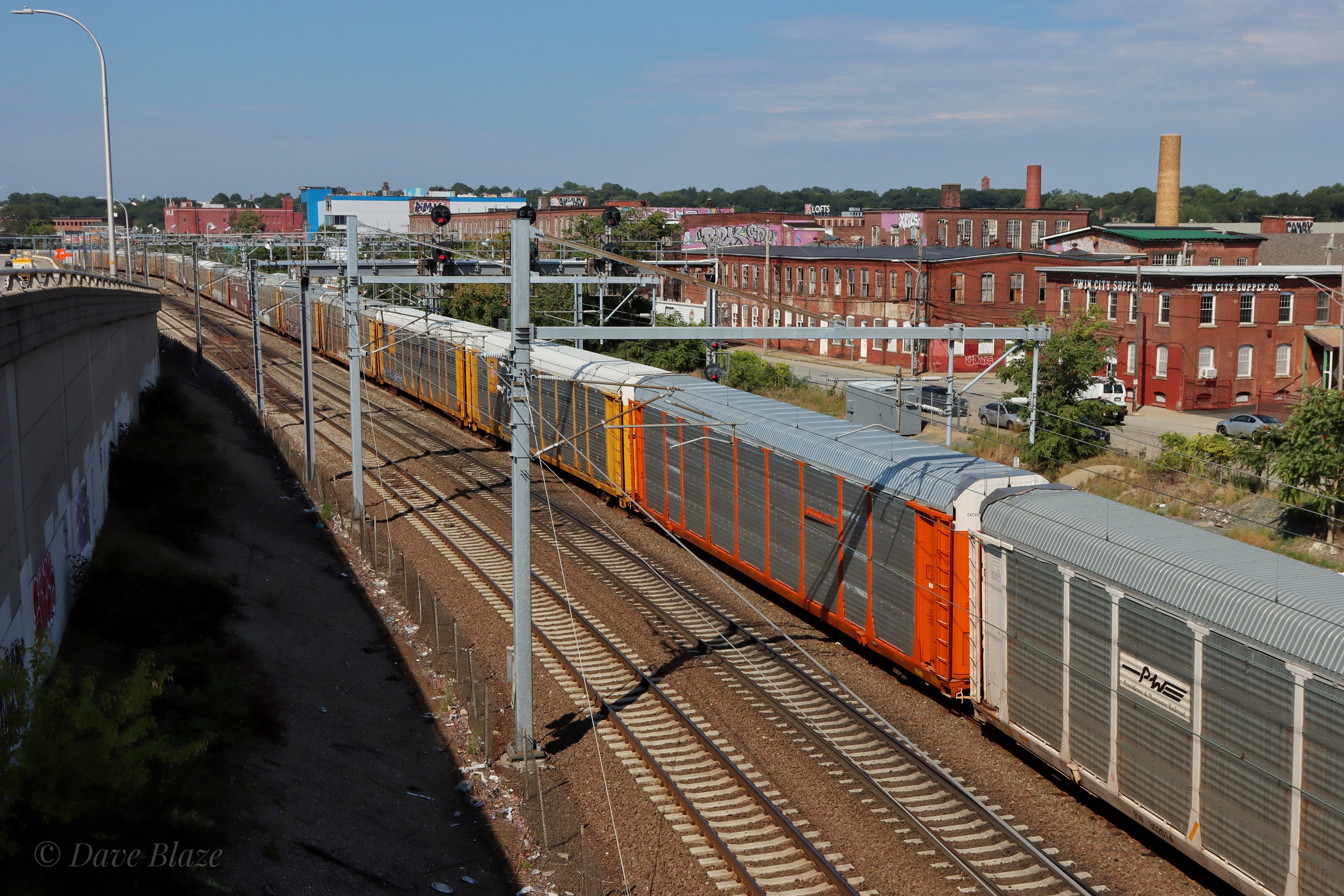
Big Freight - Late Freight

Reactivation!

PR-3 in Providence

A Sea View Indeed

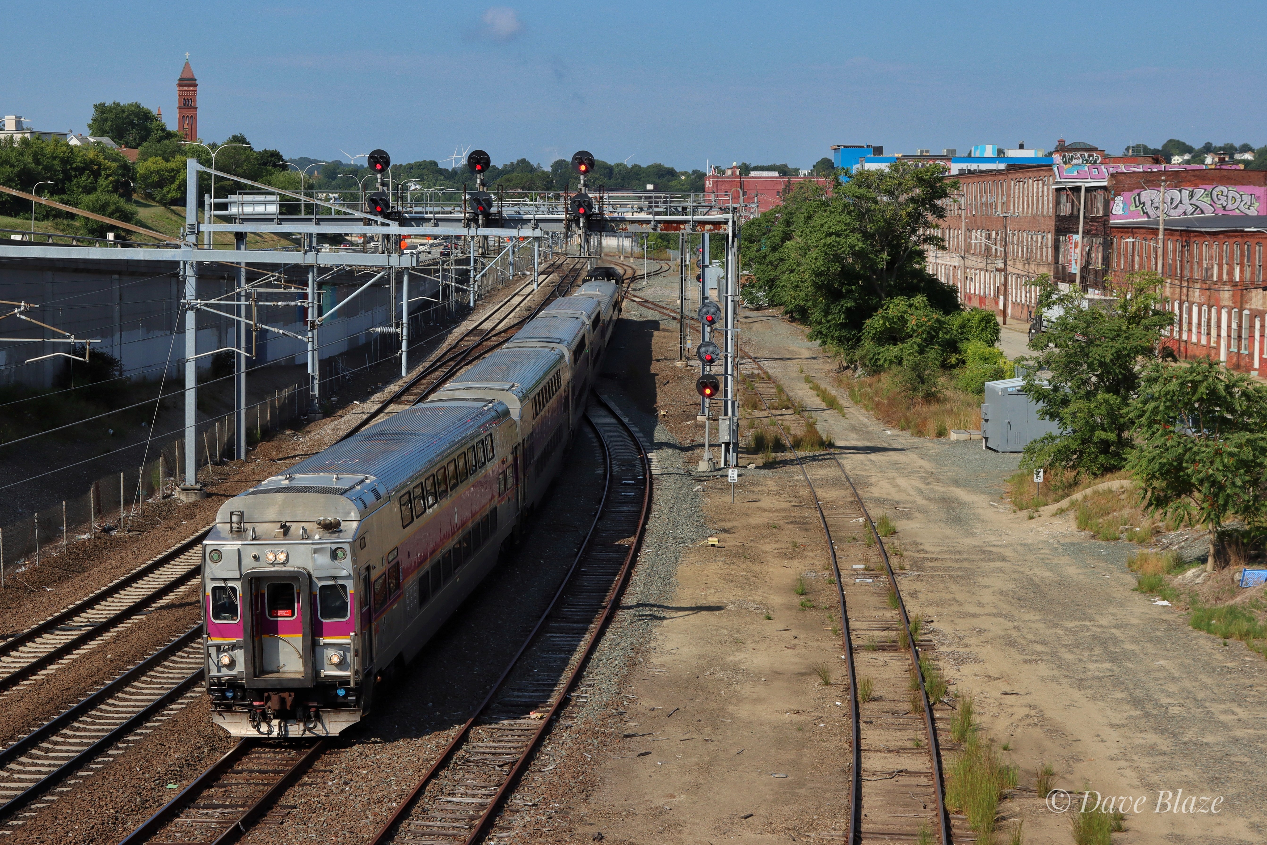
Looking West in Cranston Yard

PR-3 on the Harbor Junction

PR-3 In East Providence
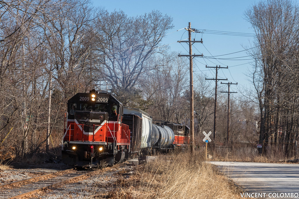
PW PR-3 at Cranston

PR-3 Crossing Roger Williams Ave

PR-3 Cutting Through Shell
816 at Atwells

AN AUGUST SUNSET_4 {EXPLORED}

I ♥ Ice Icemelt Series #6 [Explored]

GOING FOR A SWIM

TWO DIFFERENT VIEWS {EXPLORED}

street view

Day 26: Rhode Island

THE STARE
Home Road

SPRINGTIME AT THE POND
Topographic Map of Pilgrim Park, Warwick, RI, USA
Find elevation by address:

Places in Pilgrim Park, Warwick, RI, USA:
Places near Pilgrim Park, Warwick, RI, USA:
Warwick, RI, USA
Pilgrim High School
3 Lerner St
Spring Green
Lakewood
Namquid Dr, Warwick, RI, USA
Atlantic Avenue
129 Pilgrim Dr
255 Lansdowne Rd
190 Algonquin Dr
Warwick Avenue
Airport Rd, Warwick, RI, USA
Norwood
Norwood Ave, Warwick, RI, USA
Lyndon Rd, Cranston, RI, USA
1 Columbia Ave
166 Pine St
Edgewood
14 Twin Oak Dr
35 E View St, Warwick, RI, USA
Recent Searches:
- Elevation of Corso Fratelli Cairoli, 35, Macerata MC, Italy
- Elevation of Tallevast Rd, Sarasota, FL, USA
- Elevation of 4th St E, Sonoma, CA, USA
- Elevation of Black Hollow Rd, Pennsdale, PA, USA
- Elevation of Oakland Ave, Williamsport, PA, USA
- Elevation of Pedrógão Grande, Portugal
- Elevation of Klee Dr, Martinsburg, WV, USA
- Elevation of Via Roma, Pieranica CR, Italy
- Elevation of Tavkvetili Mountain, Georgia
- Elevation of Hartfords Bluff Cir, Mt Pleasant, SC, USA