Elevation of Pikake St, Pāhoa, HI, USA
Location: United States > Hawaii > Hawaii County > Fern Acres >

Longitude: -155.07307

Latitude: 19.4851699

Elevation: 480m / 1575feet

Barometric Pressure: 96KPa

Elevation Map:

elevation map of Pikake St, Pāhoa, HI, USA

Satellite Map:

Satellite map of Pikake St, Pāhoa, HI, USA

Related Photos:

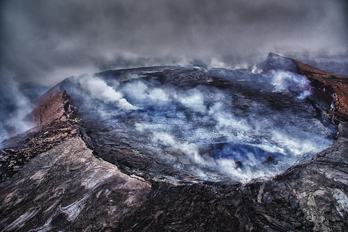
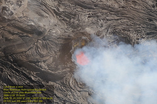
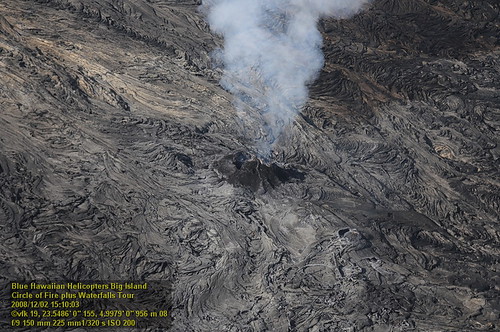
volcano hawaii lava crater geology volcanic aerialphotography eruption kilauea active puuoovent
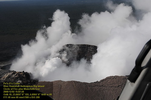
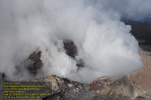
Pu`u `O`o Vent
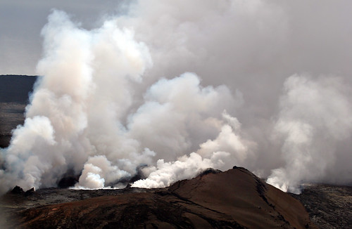
travel 20d canon volcano hawaii lava photo topv333 mt smoke mount helicopter photograph tropical ash bigisland kilauea magma canon80200f28l casch mountkilaueavolcano familygetty
Mount Kilauea Volcano 2560
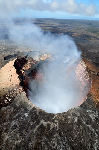
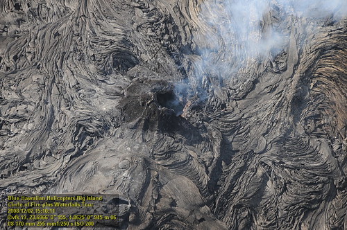
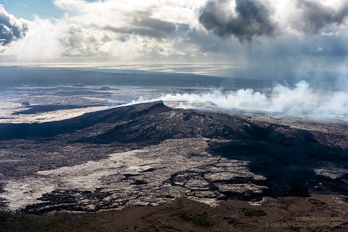
usa hawaii landscapes aerial craters bigisland volcanoes geology helicopters sulfur hawaiivolcanoesnationalpark cones earthscience lavaflows kilaueavolcano pahoehoelava shieldvolcanoes puuoocrater pāhoehoelava eastriftzone kīlaueavolcano puuōōcrater
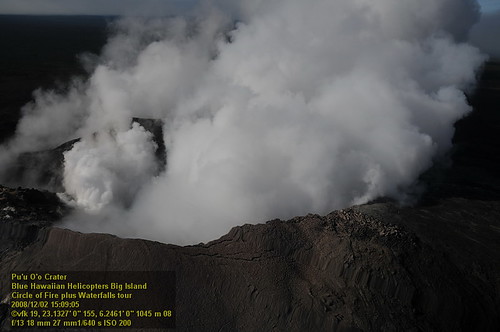
Pu'u Ō'ō Crater
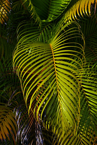
hawaii bigisland
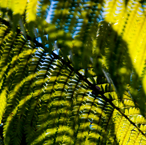
Palm Frond at dawn, Hawaii
geotagged geo:lat=194298166666667 geo:lon=155086976666667
HW7428VF2_4929.JPG
geotagged geo:lat=19398335 geo:lon=155084278333333
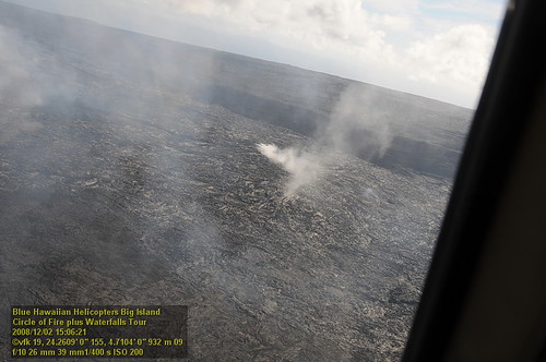
HW7176VF2_4677.JPG
geotagged geo:lat=19385545 geo:lon=155104101666667
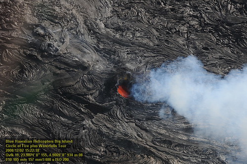
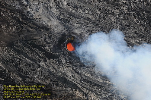
HW7042VF2_4564 Pu'u O'o Crater.JPG
geotagged geo:dir=757 geo:lat=194542645833248 geo:lon=155175907916692
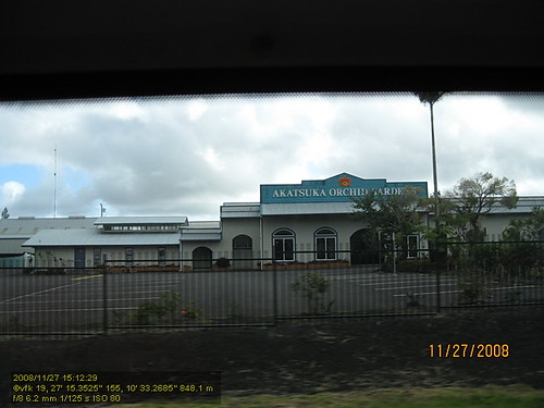
HW4394IMG_1757 Akatsuka Orchid Gardens.JPG
hawaiivolcanoesnp steam 61glavaflow sunrise kona patterns kamokunaoceanentry puuoovent lava hawaii aerial rocks mountainview unitedstates us
Comet's Tail
geotagged geo:lat=19384495 geo:lon=155101506666667
HW7042VF2_4548 Pu'u O'o Crater.JPG
geotagged geo:lat=1939872 geo:lon=155083603333333
HW7174VF2_4675.JPG
geotagged geo:lat=194049616666667 geo:lon=155077796666667
HW7033VF2_4534.JPG
geotagged geo:lat=193843683333333 geo:lon=155108483333333
HW7042VF2_4561 Pu'u O'o Crater.JPG
geotagged geo:lat=193984516666667 geo:lon=155081781666667
HW7401VF2_4902.JPG
geotagged geo:lat=194043483333333 geo:lon=155078506666667
HW7035VF2_4536.JPG
geotagged geo:lat=193984883333333 geo:lon=155082128333333
HW7404VF2_4905.JPG
landscape volcano bigisland hawai
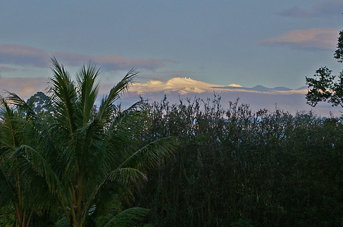
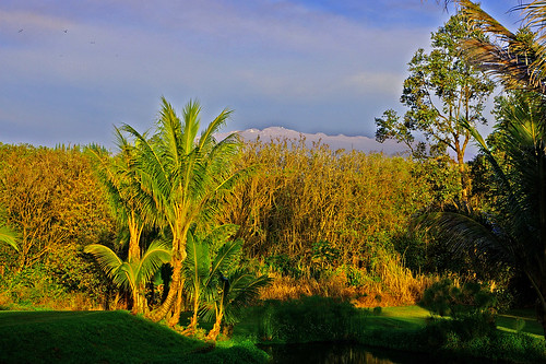
Sunup on a snowy Mauna Kea from Mountain View B&B, Hawaii
geotagged geo:lat=193985916666667 geo:lon=155081625
HW7165VF2_4666.JPG
geotagged geo:lat=193949433333333 geo:lon=155081041666667
HW7151VF2_4652.JPG
geotagged geo:lat=195429983333333 geo:lon=154991886666667
HW7001VF2_4502.JPG
16-2108 IO KEA RD MOUNTAIN VIEW, HI 96771
landscape volcano hawaii bigisland
Mauna Kea in early morning light from Mountain View, Hawaii
geotagged geo:lat=193924766666667 geo:lon=155083298333333
HW7145VF2_4646.JPG
fire hawaii coast day cloudy smoke flames steam helicopter geology height
this is where clouds come from
fire hawaii coast smoke flames steam helicopter geology height
Kīlauea volcano
USA, HI, Big Island (Hawai'i). Volcanoes National Park, Pu'u' O'o volcano
fire hawaii coast smoke flames steam helicopter geology height
Kīlauea volcano
fire hawaii coast smoke flames steam helicopter geology height
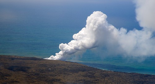
lava + sea = lots of steam
fire hawaii coast smoke flames steam helicopter geology height
Kīlauea volcano
square squareformat iphoneography instagramapp uploaded:by=instagram
⛅️
trees hilo hawaiivolcanoesnp lightbeams clouds sunrise steam aerial hawaii lava rocks pāhoa unitedstates us
God Beams
leaf
Hilo-2
usa vent volcano hawaii us nikon unitedstatesofamerica crater nikkor airborne kilauea volcán d4 bigislandofhawaii puuoo kīlauea hawaiʻivolcanoesnationalpark 70200mmf28gvrii
Pu'u 'O'o cinder/spatter cone [7767]
fire hawaii coast day cloudy smoke flames steam helicopter geology height
lava + sea = lots of steam
hawaii unitedstates 7kmwofkalapana
When Lava meets the sea
raw urlaub kongress
Hawaii, Big Island - 3
raw urlaub kongress
Hawaii, Big Island - 2
raw urlaub kongress
Hawaii, Big Island - 2
road usa film 35mm volcano hawaii lava scan scanned predigital bigisland kilauea basalt vulkan lavaflow strase lavastrom pacificimageprimefilm1800i
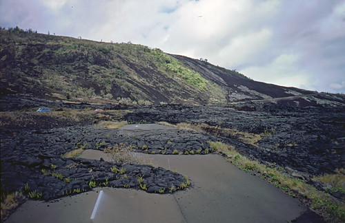
Road Closed