Elevation of Pierre Lake Campground, Kettle Falls, WA, United States
Location: United States > Washington > Kettle Falls >
Longitude: -118.14083
Latitude: 48.9040722
Elevation: 619m / 2031feet
Barometric Pressure: 94KPa
Elevation Map:
Satellite Map:
Related Photos:
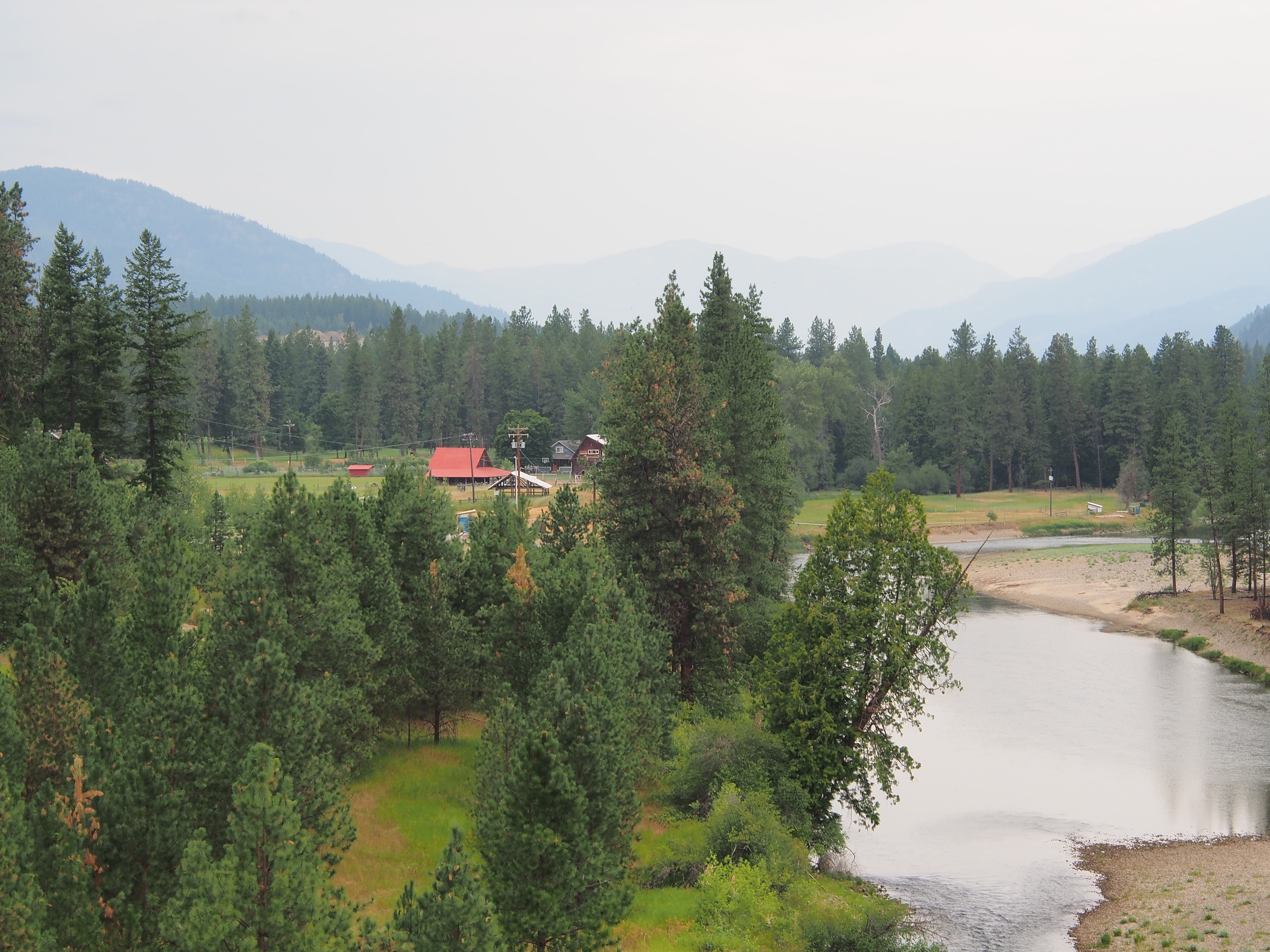
Cascade
Topographic Map of Pierre Lake Campground, Kettle Falls, WA, United States
Find elevation by address:

Places near Pierre Lake Campground, Kettle Falls, WA, United States:
3086 Hungry Hill Rd
Cascade Cove Rv Park And Campground
River Drive East
Little Boulder Creek Road
560 River Dr W
1333 Wolverton Rd
Christina Lake
77 Chase Rd
Lavalley Road
165 Chase Rd
277 Chase Rd
1633 Wolverton Rd
1633 Wolverton Rd
Chase Road
211 Chase Rd
1698 W Lake Dr
1689 W Lake Dr
Togo Mountain
Marble Mountain
Rocky Mountain
Recent Searches:
- Elevation of Corso Fratelli Cairoli, 35, Macerata MC, Italy
- Elevation of Tallevast Rd, Sarasota, FL, USA
- Elevation of 4th St E, Sonoma, CA, USA
- Elevation of Black Hollow Rd, Pennsdale, PA, USA
- Elevation of Oakland Ave, Williamsport, PA, USA
- Elevation of Pedrógão Grande, Portugal
- Elevation of Klee Dr, Martinsburg, WV, USA
- Elevation of Via Roma, Pieranica CR, Italy
- Elevation of Tavkvetili Mountain, Georgia
- Elevation of Hartfords Bluff Cir, Mt Pleasant, SC, USA