Elevation of Pierpont, OH, USA
Location: United States > Ohio > Ashtabula County > Pierpont Township >
Longitude: -80.568406
Latitude: 41.7492217
Elevation: 304m / 997feet
Barometric Pressure: 98KPa
Elevation Map:
Satellite Map:
Related Photos:
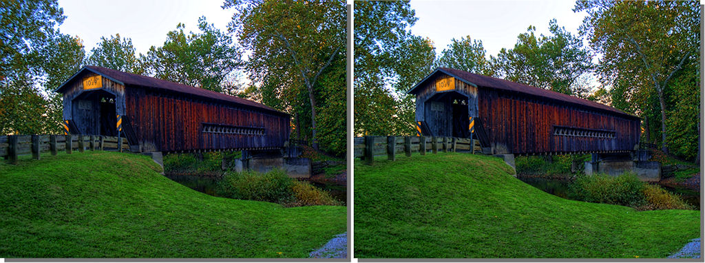
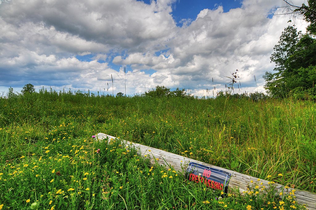
Bridge Over Smooth Waters
In the saddle again
Giddings Road Bridge
New...
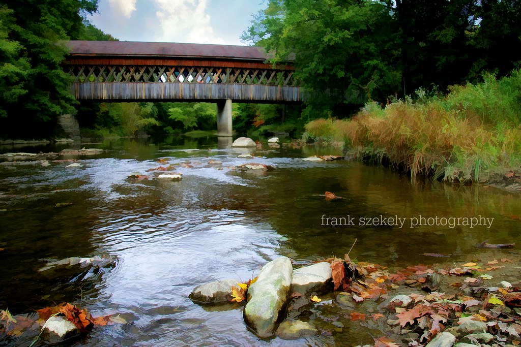
Benetka Road Covered Bridge
Old and New...

laptop viewing [ ghost hunter ]

#strikeapose #perfectweather #instafit #instadaily #sea #ocean #denmark #view #beach #cleanair #sun
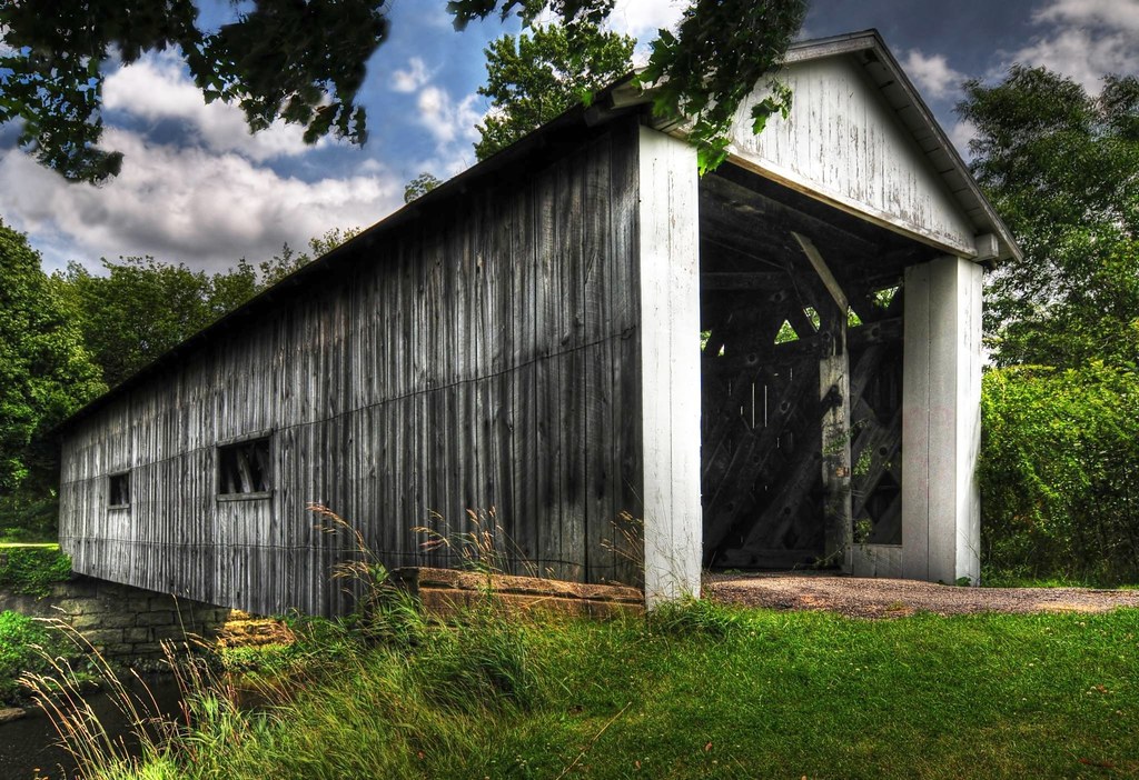
South Denmark Road Covered Bridge

Short-Eared Owl (Asia flammeus) SEOW

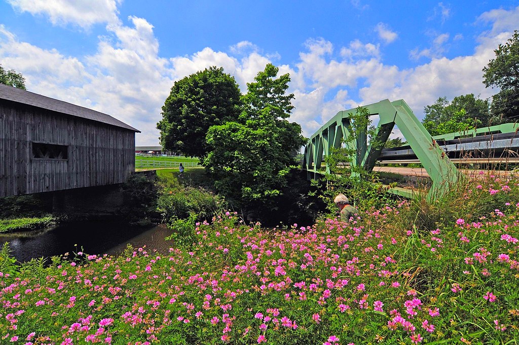
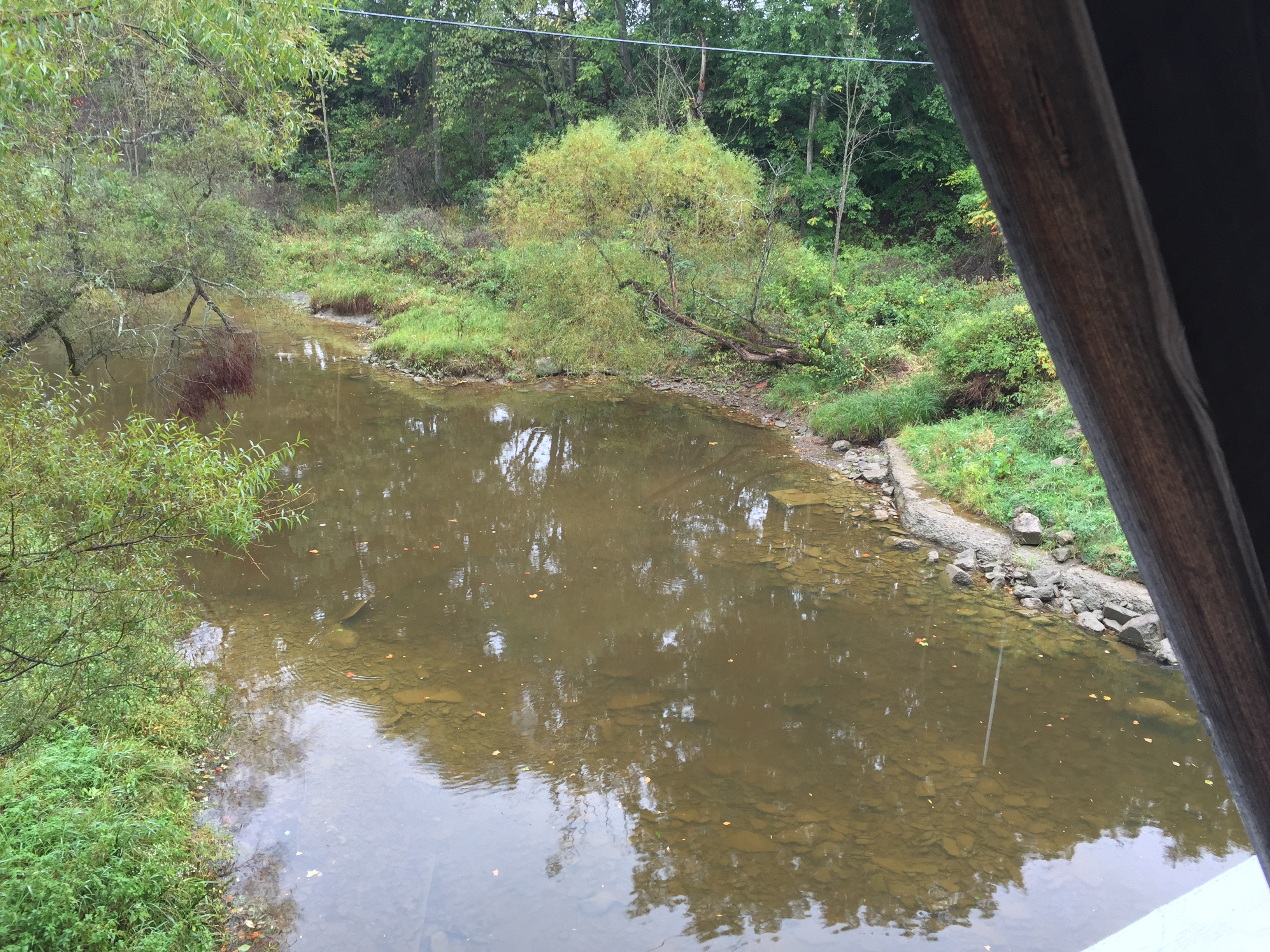
Mill Creek at the Giddings Covered Bridge, Jefferson Township, Ashtabula County, Ohio

09-07-06_1754

Late Summer
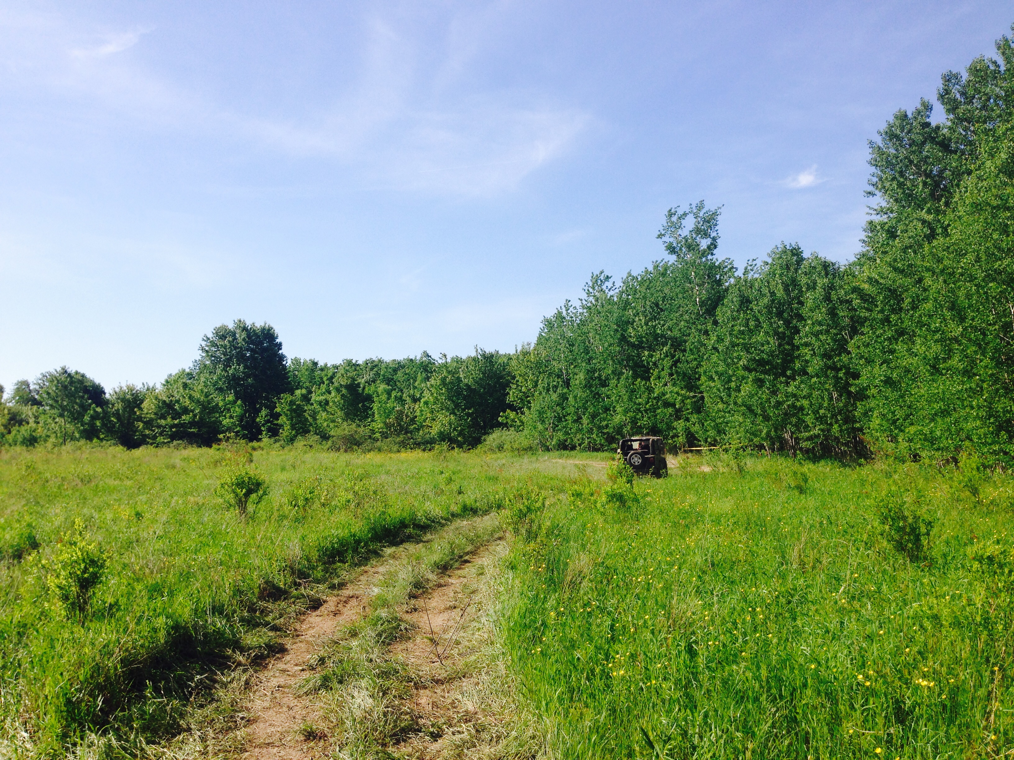
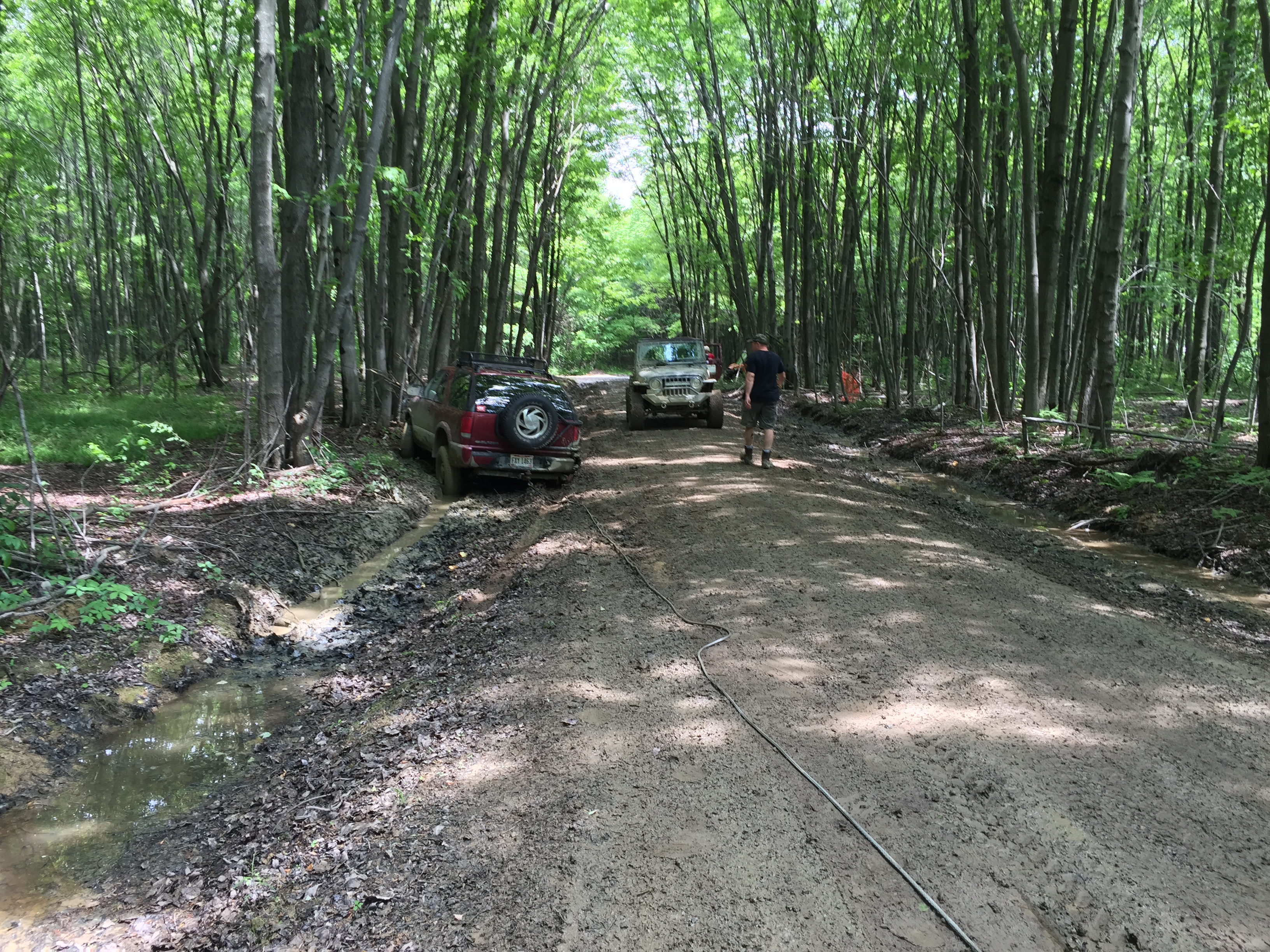
Lake County Off Road Spring Jeep Jamboree - Jefferson, Ohio
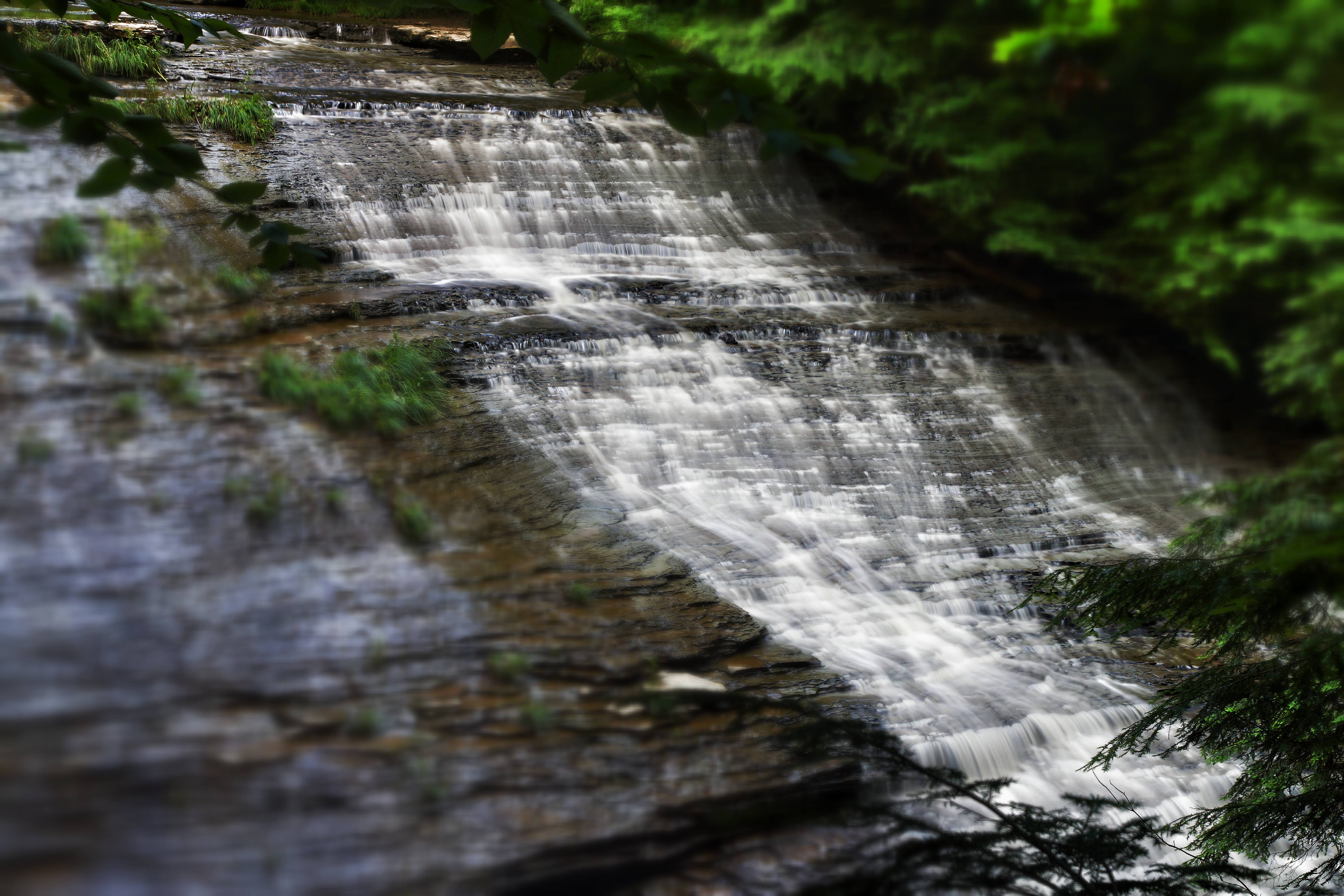
Silken Falls
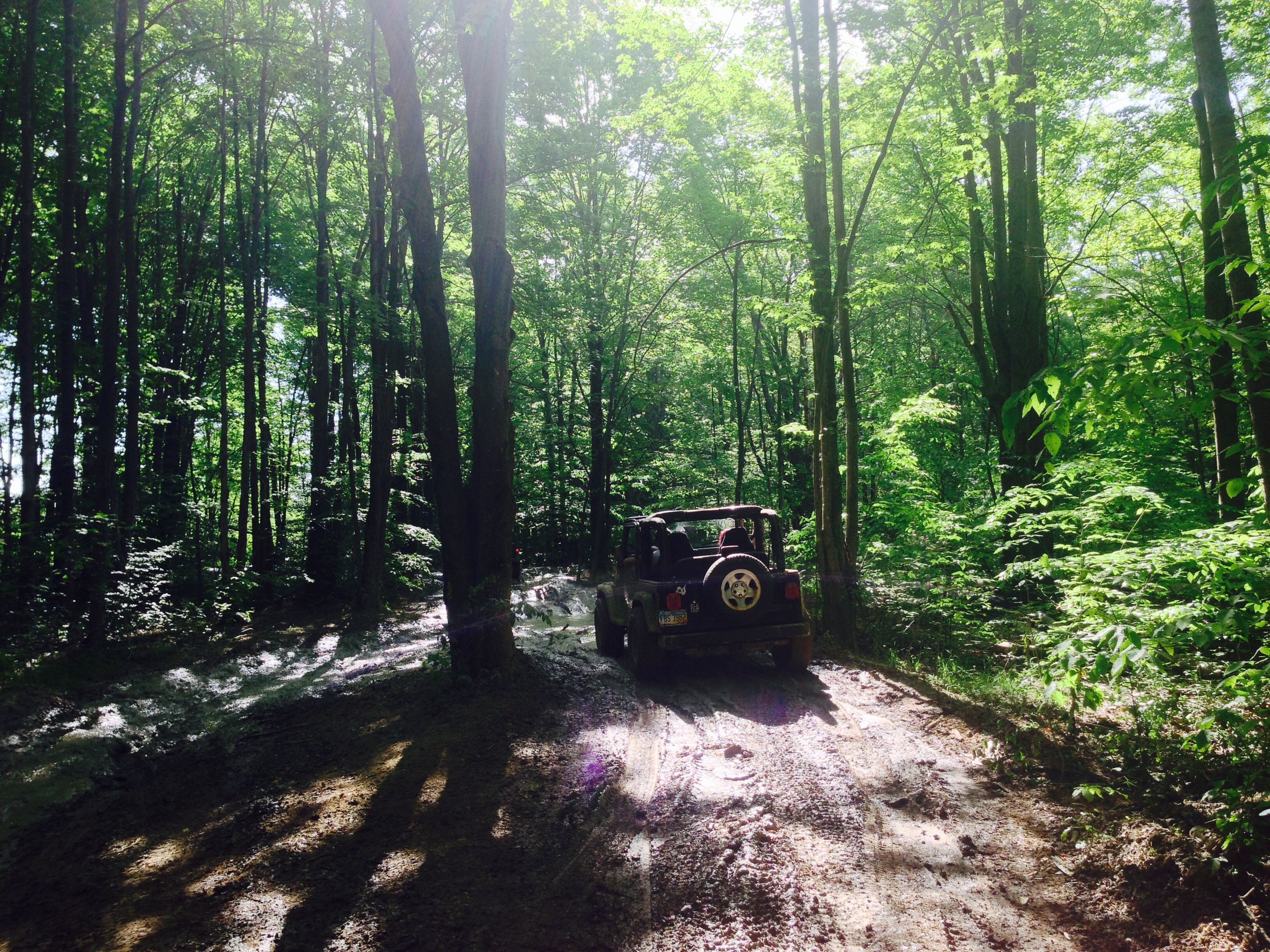
Lake County Off Road Spring Jeep Jamboree - Jefferson, Ohio
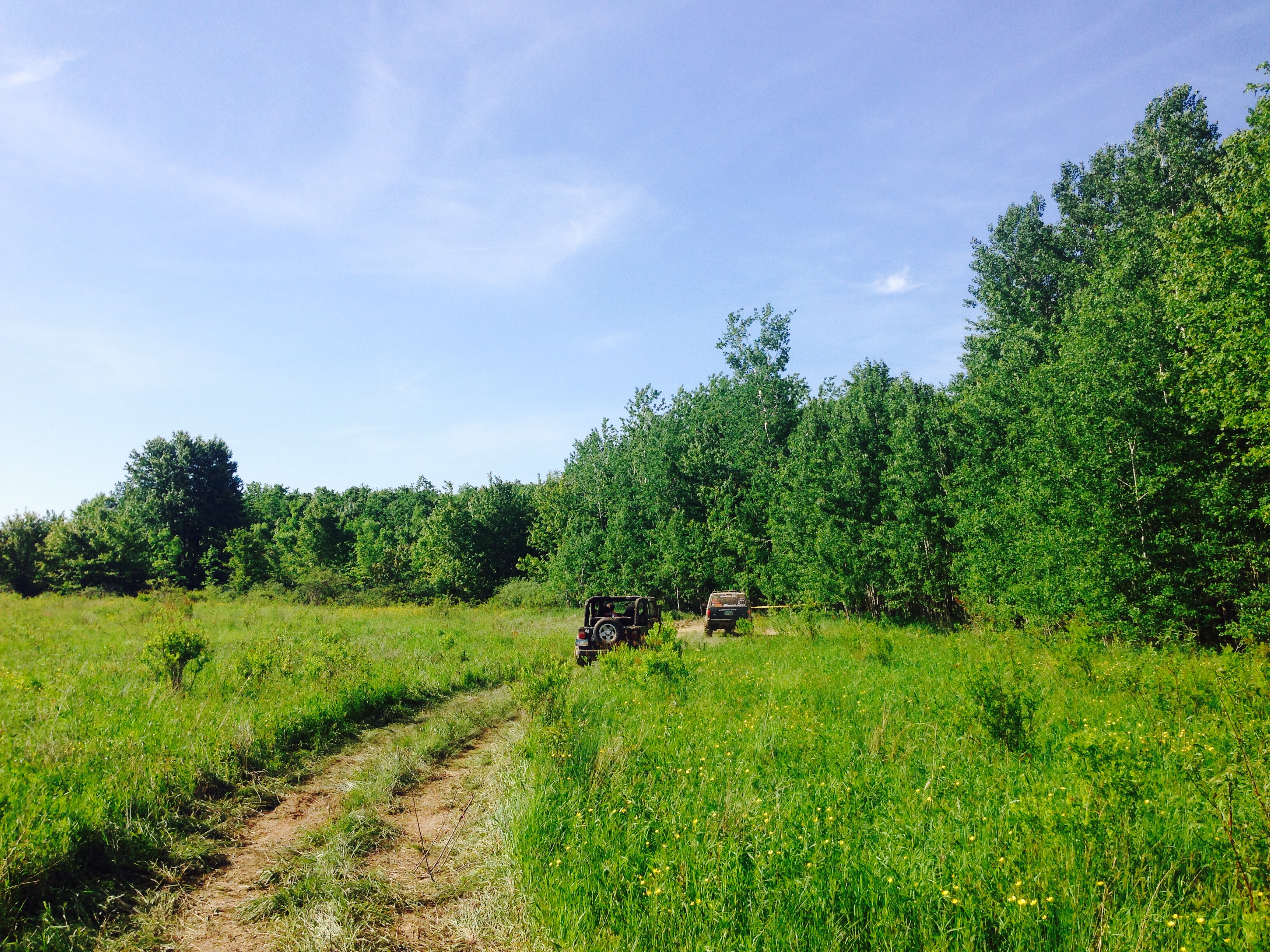
Lake County Off Road Spring Jeep Jamboree - Jefferson, Ohio
Fire on Water
Don't come around here no more...
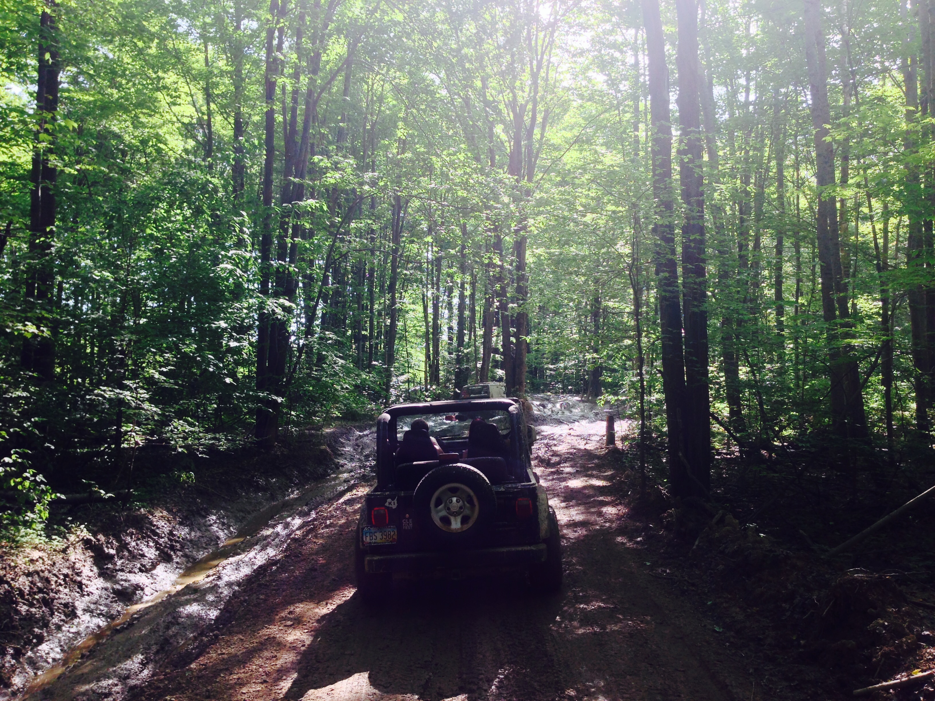
Lake County Off Road Spring Jeep Jamboree - Jefferson, Ohio
Lake County Off Road Spring Jeep Jamboree - Jefferson, Ohio

Ohio Covered Bridges - Ashtabula County [State Road Covered Bridge]
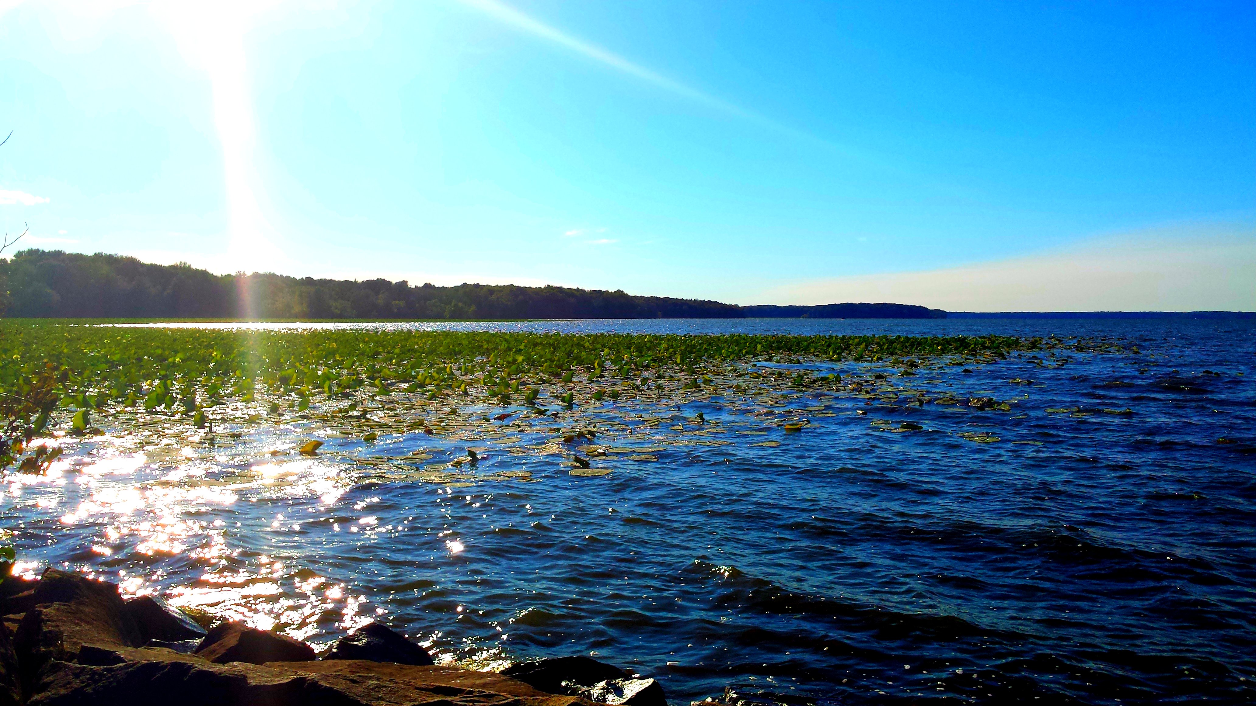
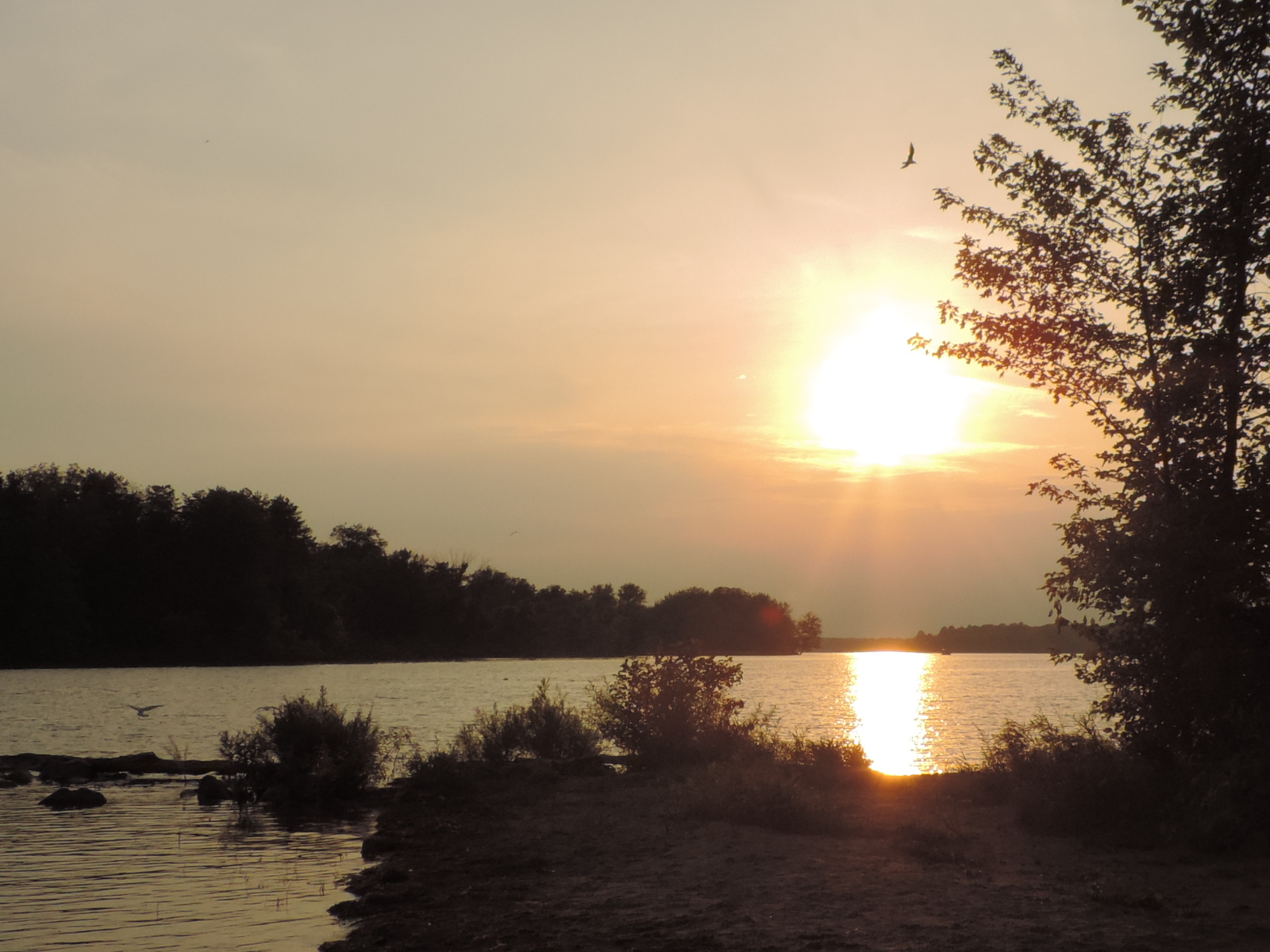
Pymatuning Lake
Ashtabula County Covered Bridge Tour in my Jeep
State Road Covered Bridge, Monroe Twp, Ashtabula County, Ohio
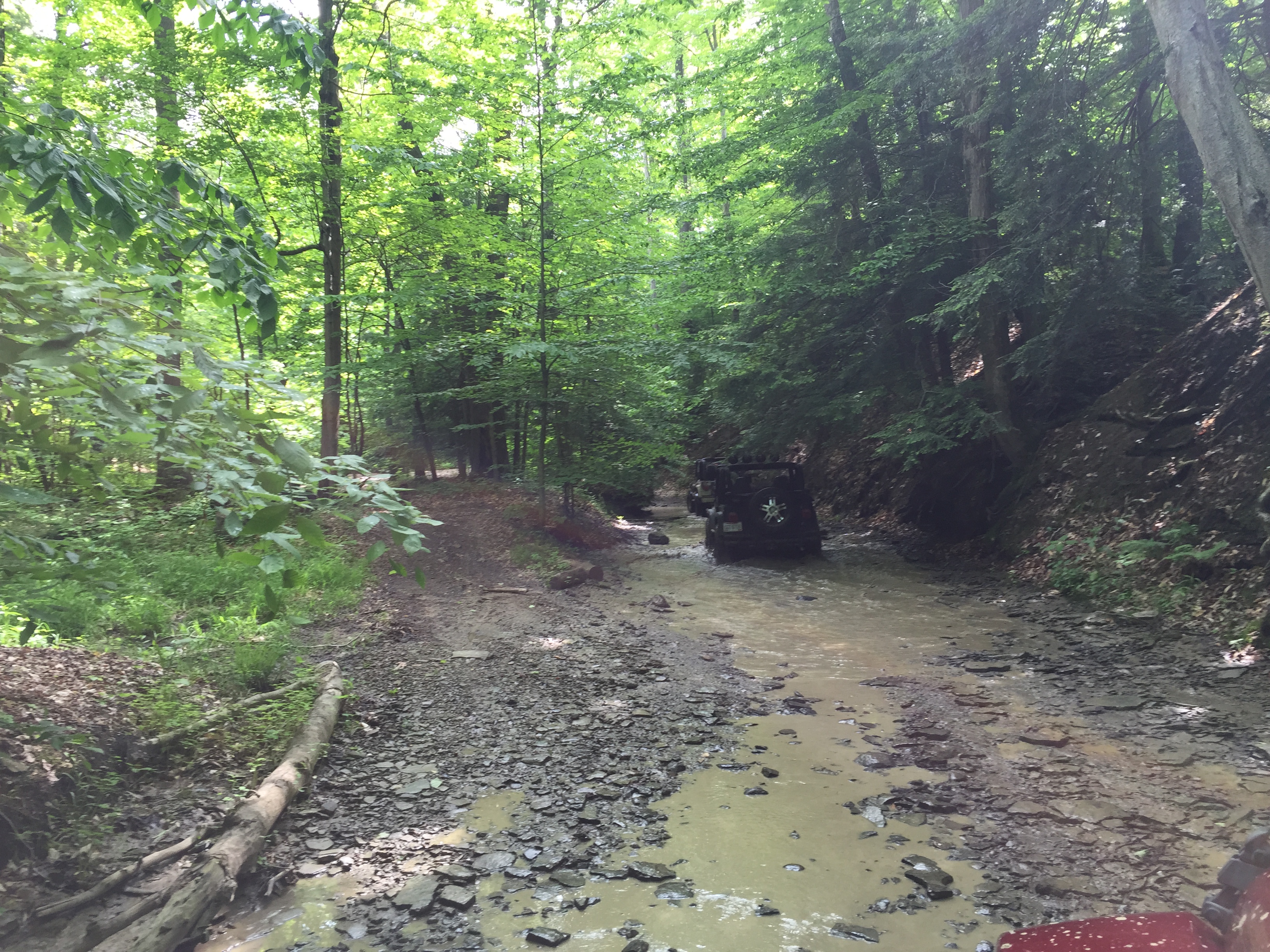
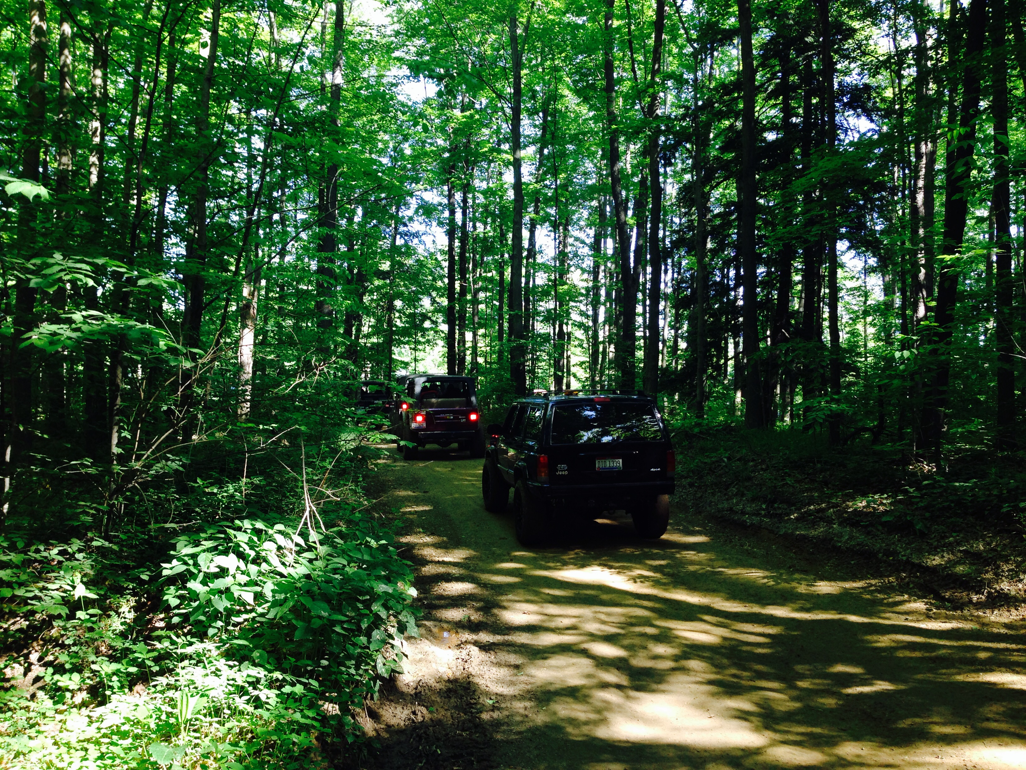
2015 Lake County Off Road Spring Jamboree near Jefferson, Ohio
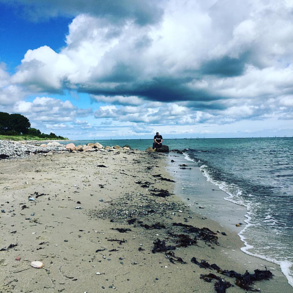
#blue #clouds #denmark #focus #thinker
2015 Lake County Off Road Spring Jamboree near Jefferson, Ohio

Short-eared Owl (Asia flammeus) SEOW
Topographic Map of Pierpont, OH, USA
Find elevation by address:

Places near Pierpont, OH, USA:
OH-7, Pierpont, OH, USA
Pierpont Township
US-6, Pierpont, OH, USA
4861 Schramling Rd
Stanhope-Kelloggsville Rd, Pierpont, OH, USA
OH-7, Andover, OH, USA
Richmond Township
Monroe Township
3777 Sheffield Monroe Rd
Griggs Rd, Jefferson, OH, USA
OH-, Kingsville, OH, USA
Sheffield Township
E Union Rd, Jefferson, OH, USA
Jefferson Township
Lenox Township
Carson Rd, Ashtabula, OH, USA
Plymouth Township
1967 Oh-46
Jefferson
3 Lawyers Row, Jefferson, OH, USA
Recent Searches:
- Elevation of Corso Fratelli Cairoli, 35, Macerata MC, Italy
- Elevation of Tallevast Rd, Sarasota, FL, USA
- Elevation of 4th St E, Sonoma, CA, USA
- Elevation of Black Hollow Rd, Pennsdale, PA, USA
- Elevation of Oakland Ave, Williamsport, PA, USA
- Elevation of Pedrógão Grande, Portugal
- Elevation of Klee Dr, Martinsburg, WV, USA
- Elevation of Via Roma, Pieranica CR, Italy
- Elevation of Tavkvetili Mountain, Georgia
- Elevation of Hartfords Bluff Cir, Mt Pleasant, SC, USA