Elevation of Picture Ridge, Montana, USA
Location: United States > Montana > Flathead County >
Longitude: -113.46194
Latitude: 47.7638888
Elevation: 2280m / 7480feet
Barometric Pressure: 77KPa
Elevation Map:
Satellite Map:
Related Photos:
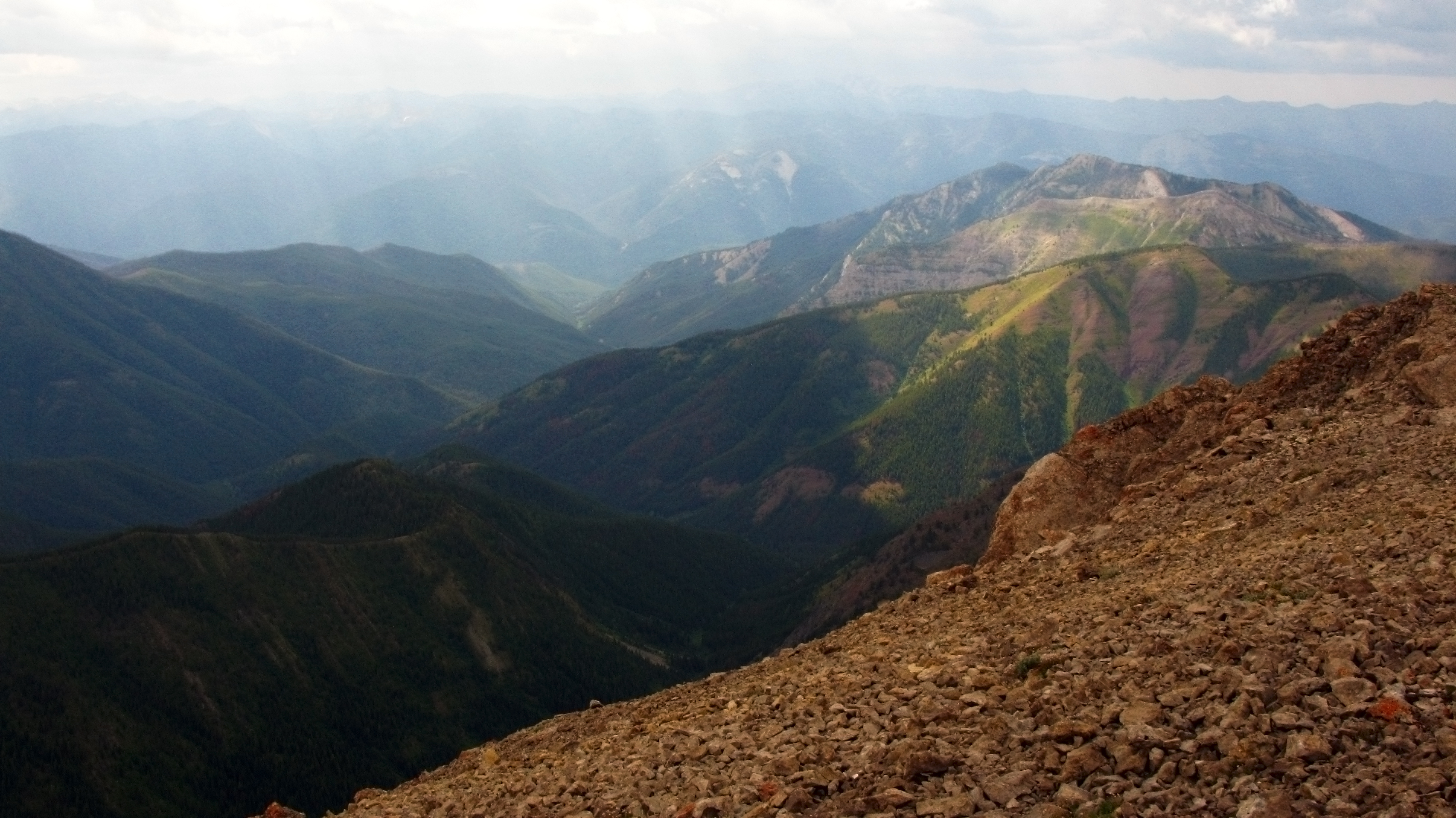
West view from Silvertip
Topographic Map of Picture Ridge, Montana, USA
Find elevation by address:

Places near Picture Ridge, Montana, USA:
Sarah Peak
Snow Peak
Stadium Peak
Black Bear Mountain
Garnet Peak
Minaret Peak
Charlotte Peak
Spud Point
Silvertip Mountain
Cone Peak
Union Peak
Gyp Mountain
Turtlehead Mountain
Lone Butte
Patrol Point
Scarface Mountain
Flame Peak
Lena Peak
Waldbillig Mountain
Moccasin Butte
Recent Searches:
- Elevation of Corso Fratelli Cairoli, 35, Macerata MC, Italy
- Elevation of Tallevast Rd, Sarasota, FL, USA
- Elevation of 4th St E, Sonoma, CA, USA
- Elevation of Black Hollow Rd, Pennsdale, PA, USA
- Elevation of Oakland Ave, Williamsport, PA, USA
- Elevation of Pedrógão Grande, Portugal
- Elevation of Klee Dr, Martinsburg, WV, USA
- Elevation of Via Roma, Pieranica CR, Italy
- Elevation of Tavkvetili Mountain, Georgia
- Elevation of Hartfords Bluff Cir, Mt Pleasant, SC, USA