Elevation of Pico Cristóbal Colón, Santa Marta, Magdalena, Colombia
Location: Colombia > Magdalena > Santa Marta >
Longitude: -73.686388
Latitude: 10.8391666
Elevation: 5630m / 18471feet
Barometric Pressure: 50KPa
Elevation Map:
Satellite Map:
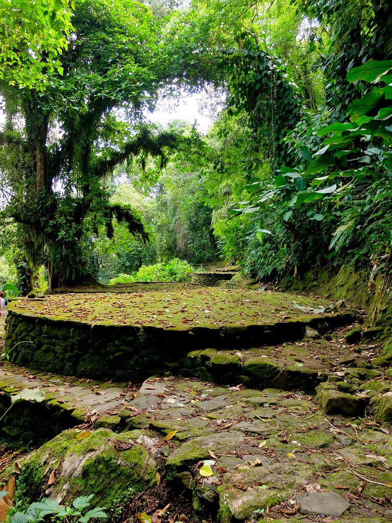
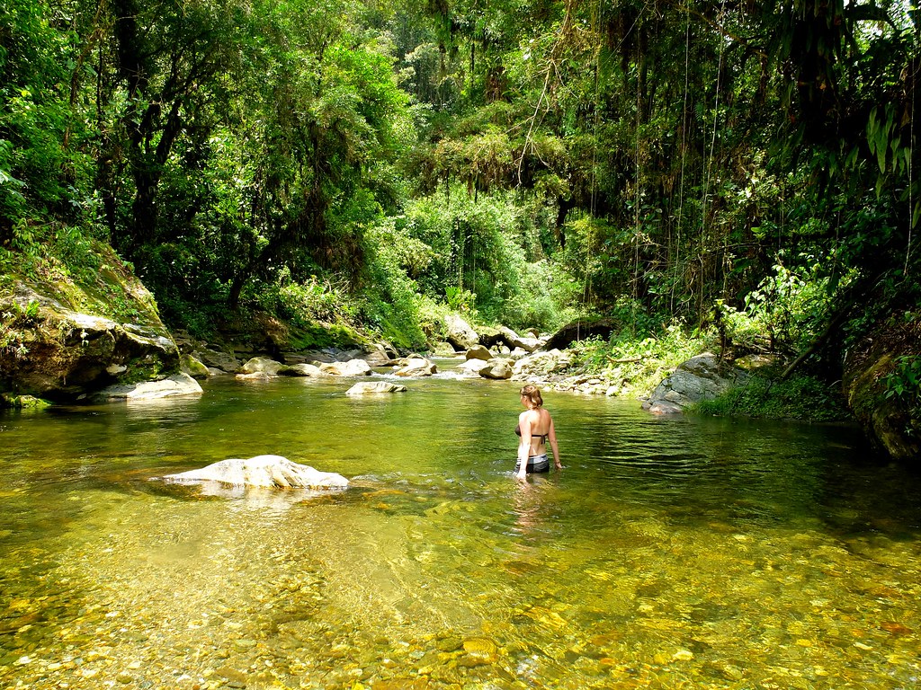
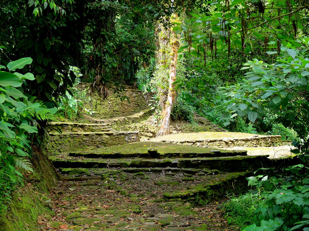
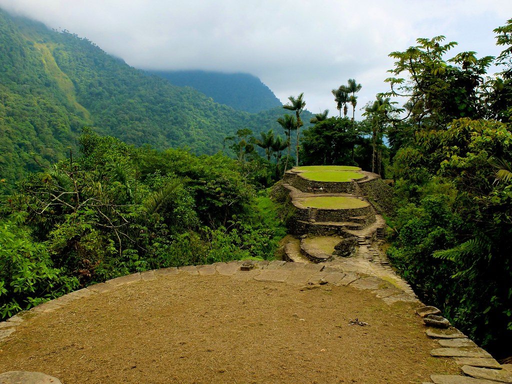
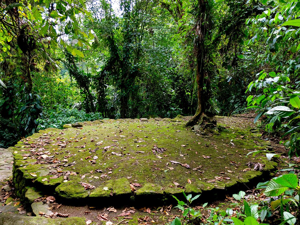
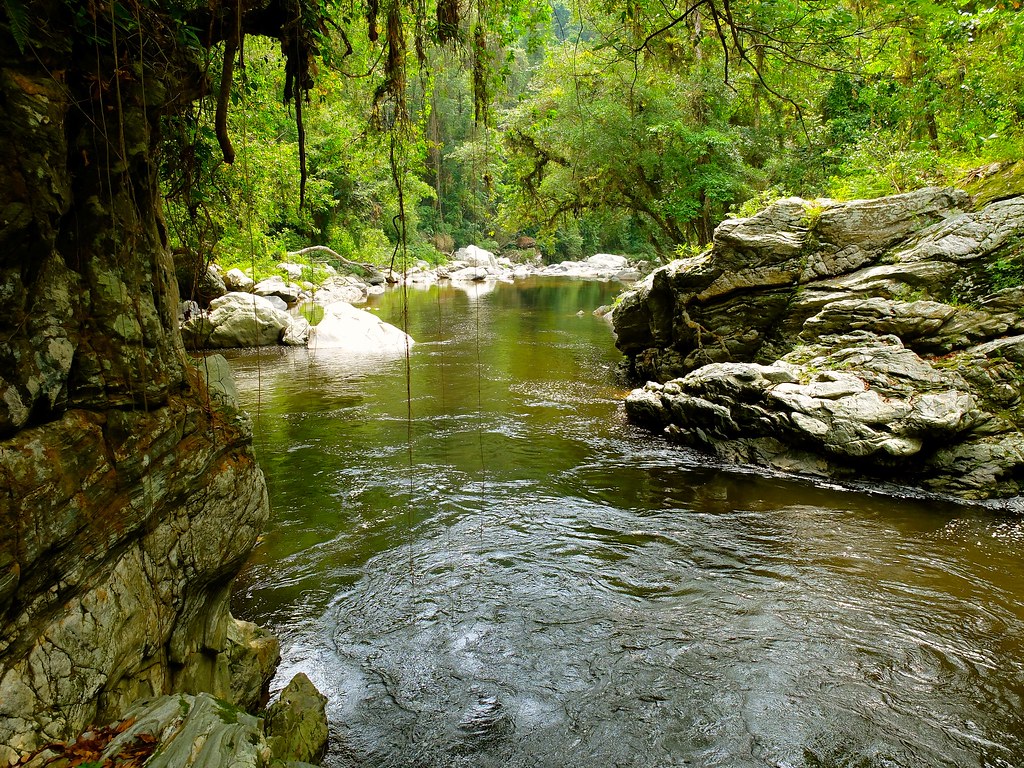
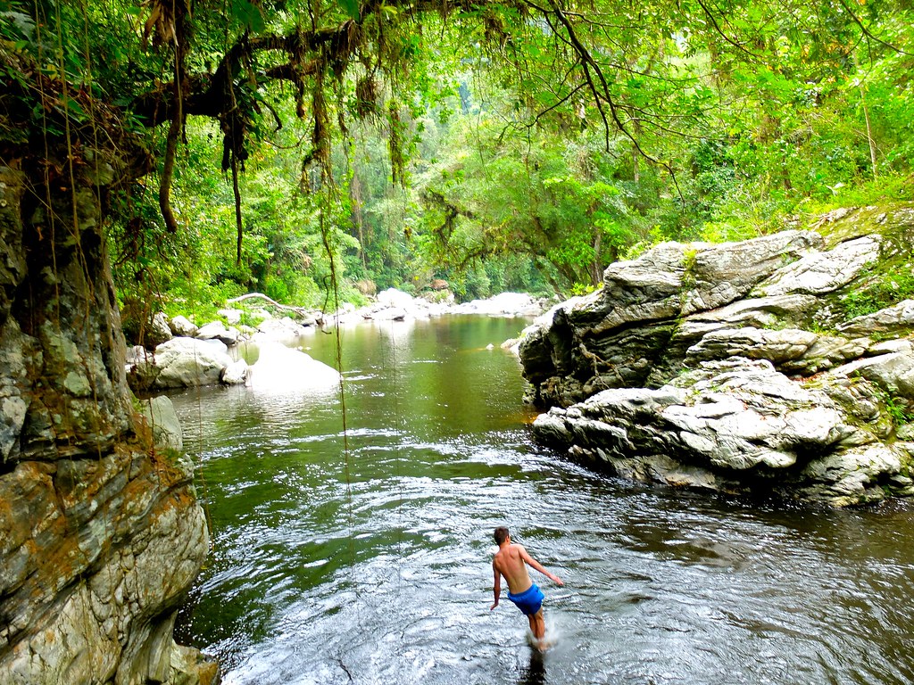
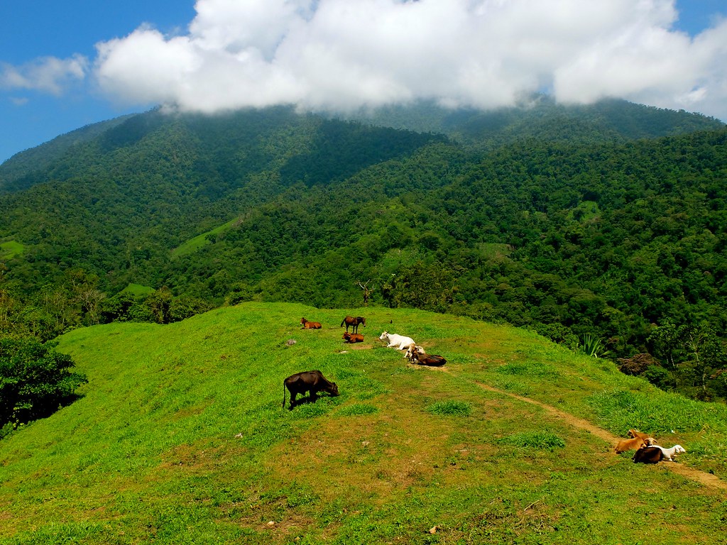
Related Photos:
S0018001

S0456049
S0525152

S0358040
S0168016
S0737121
S0977166
S0464428
S0484432
DSCF5139
S0306034
S0054380
S0546059
S0444426
S0266030
S0184393
S0046004
S0466050
S0907159
S0238026
S0137014
Topographic Map of Pico Cristóbal Colón, Santa Marta, Magdalena, Colombia
Find elevation by address:

Places near Pico Cristóbal Colón, Santa Marta, Magdalena, Colombia:
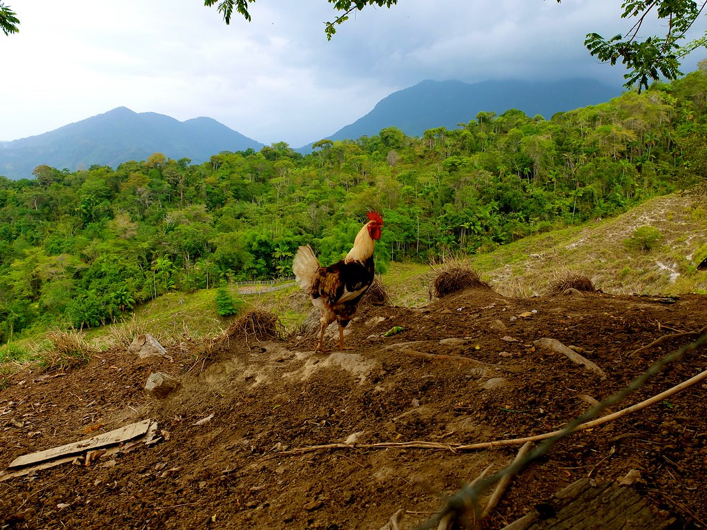
Sierra Nevada De Santa Marta
Mamancanaca
Ciénaga
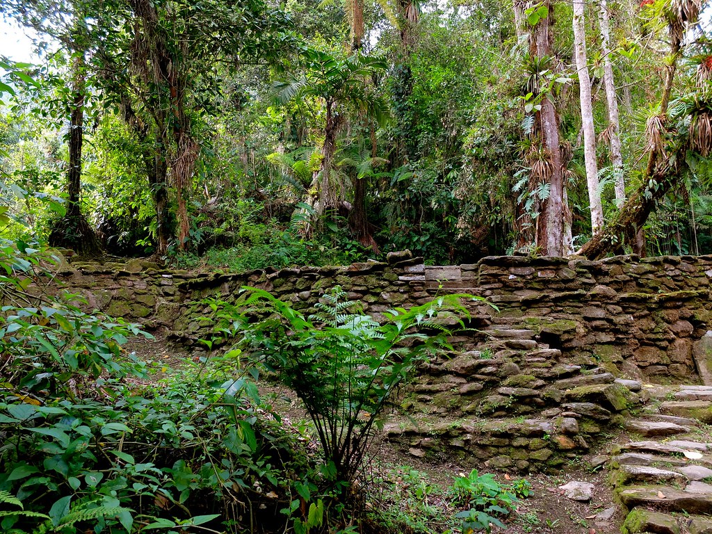
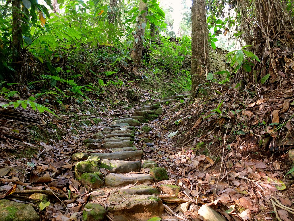
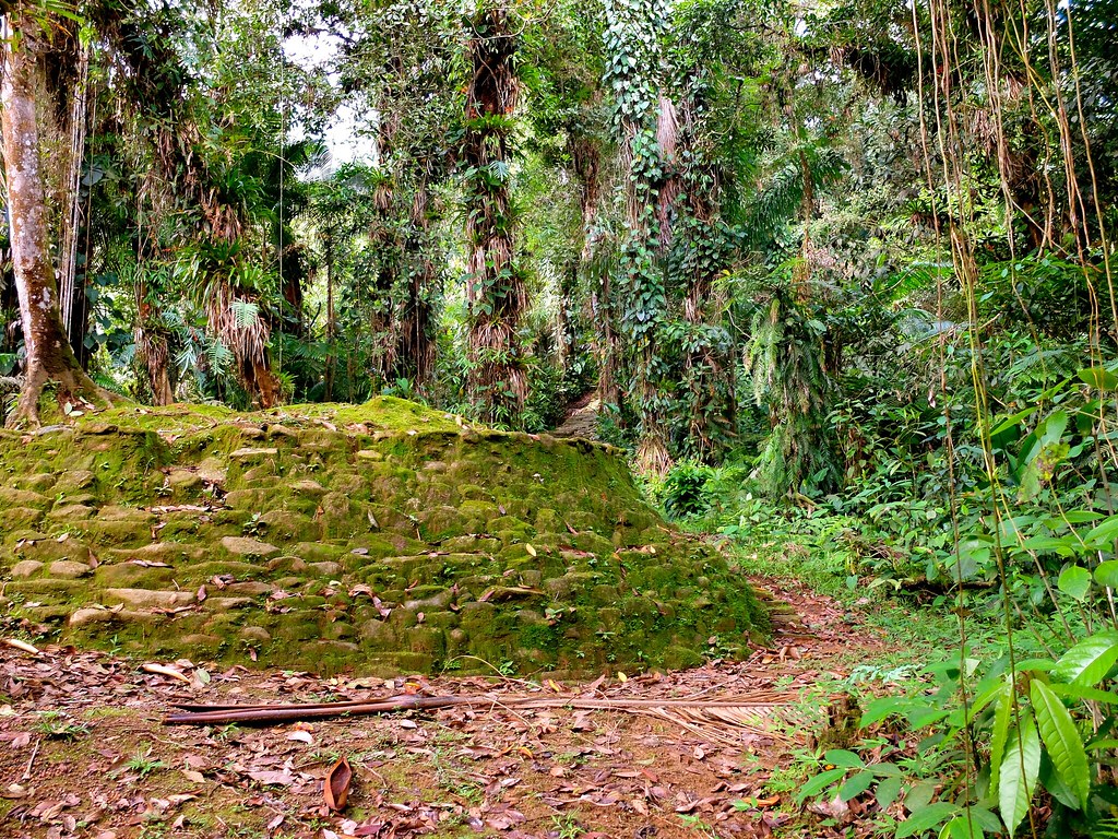
Ciudad Perdida
Palmor
Valledupar
Palomino
Granja Experimental Cafetera
Reserva El Dorado
Zona Bananera
Cerro Kennedy
Minca
Paso Del Mango
Ciudad Perdida
Aracataca
Aracataca
5-20
Valledupar
Ciénaga
Bonda
Recent Searches:
- Elevation of Corso Fratelli Cairoli, 35, Macerata MC, Italy
- Elevation of Tallevast Rd, Sarasota, FL, USA
- Elevation of 4th St E, Sonoma, CA, USA
- Elevation of Black Hollow Rd, Pennsdale, PA, USA
- Elevation of Oakland Ave, Williamsport, PA, USA
- Elevation of Pedrógão Grande, Portugal
- Elevation of Klee Dr, Martinsburg, WV, USA
- Elevation of Via Roma, Pieranica CR, Italy
- Elevation of Tavkvetili Mountain, Georgia
- Elevation of Hartfords Bluff Cir, Mt Pleasant, SC, USA