Elevation of Philpott Dam, Bassett, VA, USA
Location: United States > Virginia > Henry County > Blackberry > Bassett >
Longitude: -80.027542
Latitude: 36.781248
Elevation: 299m / 981feet
Barometric Pressure: 98KPa
Elevation Map:
Satellite Map:
Related Photos:
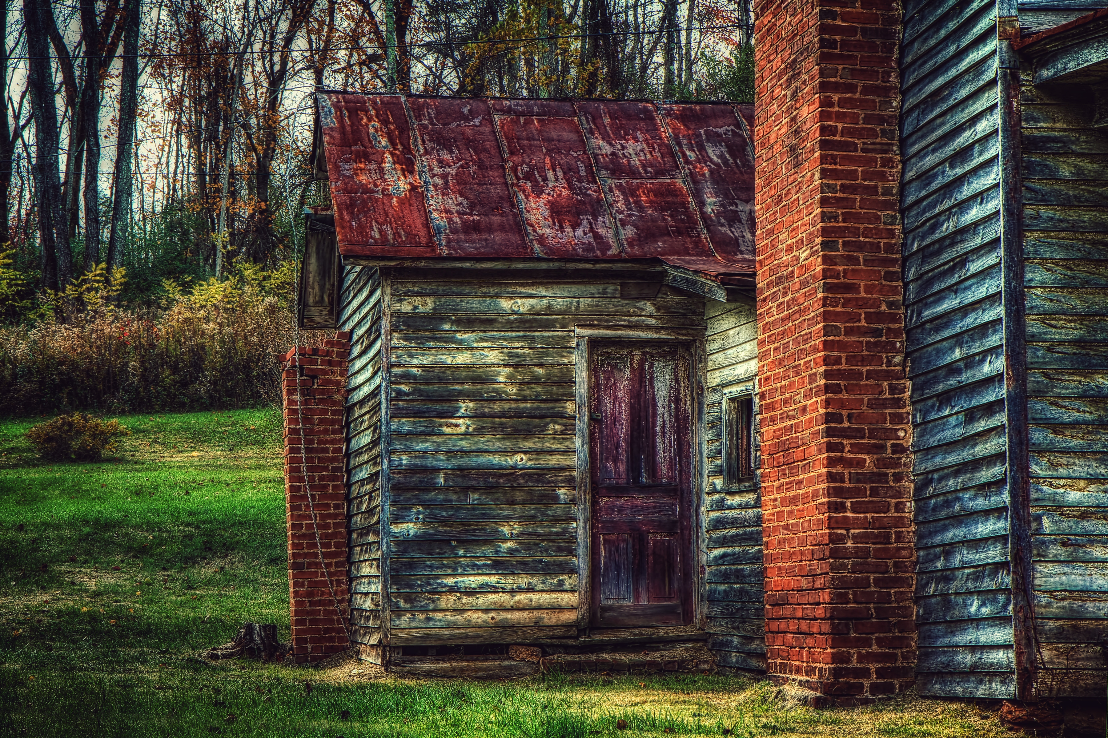
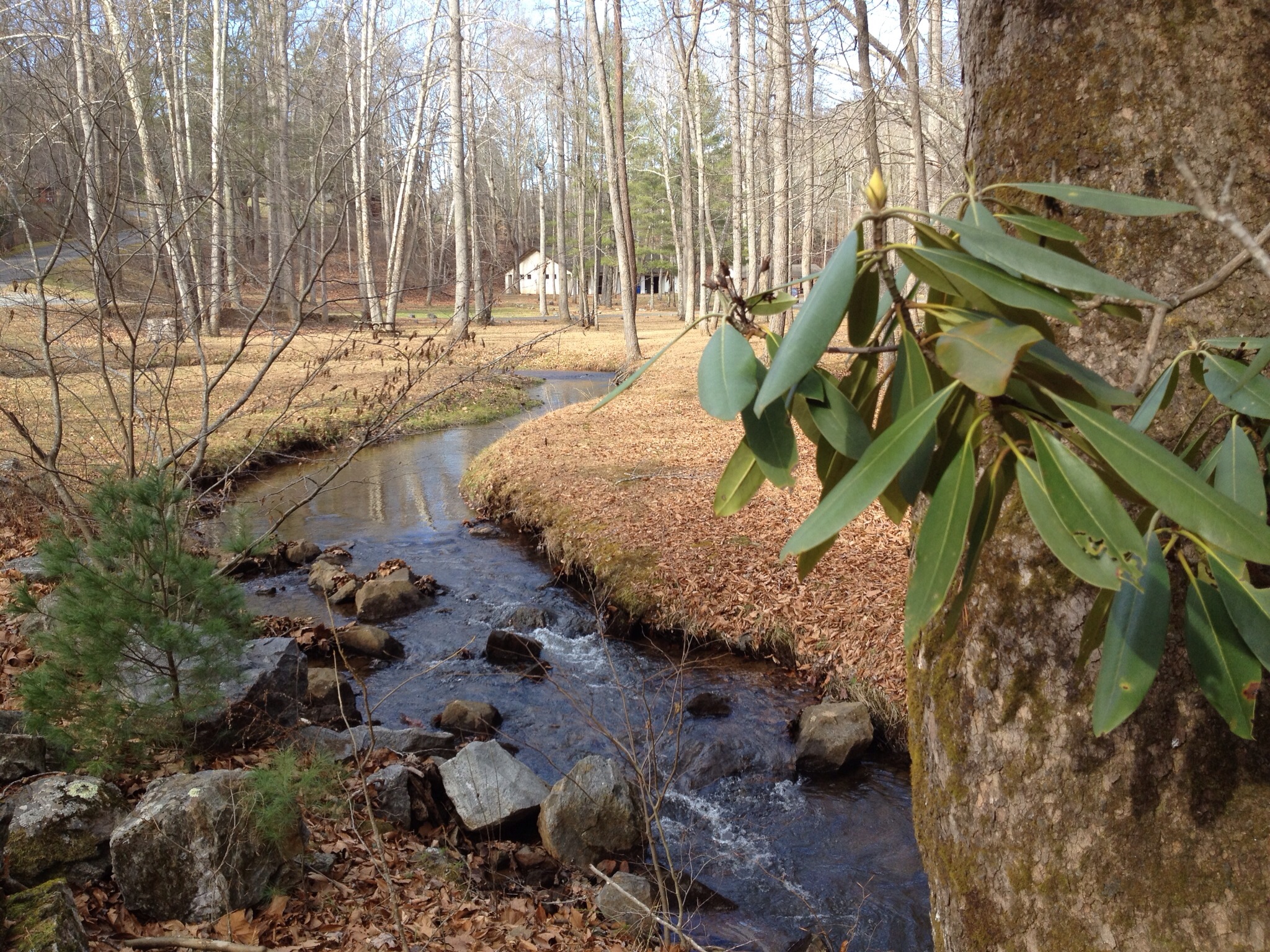
The Back Door
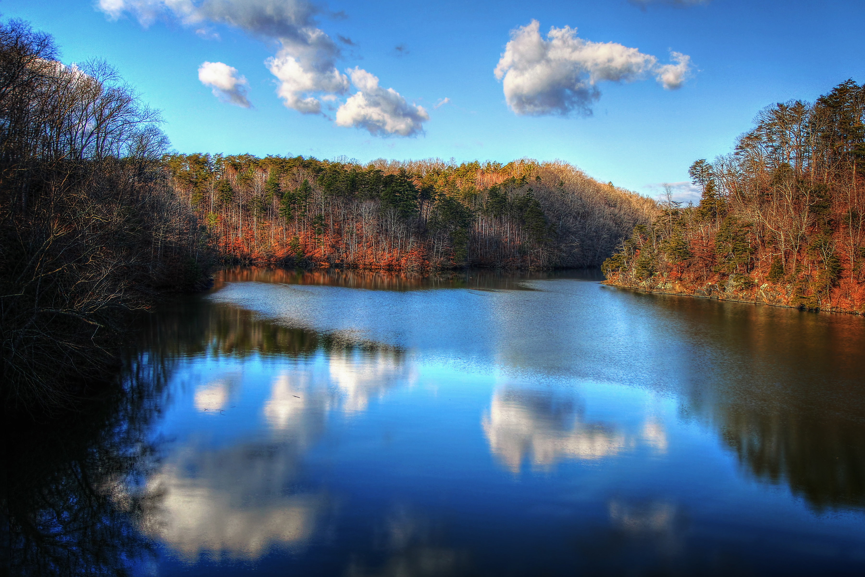
Philpott Lake December 31
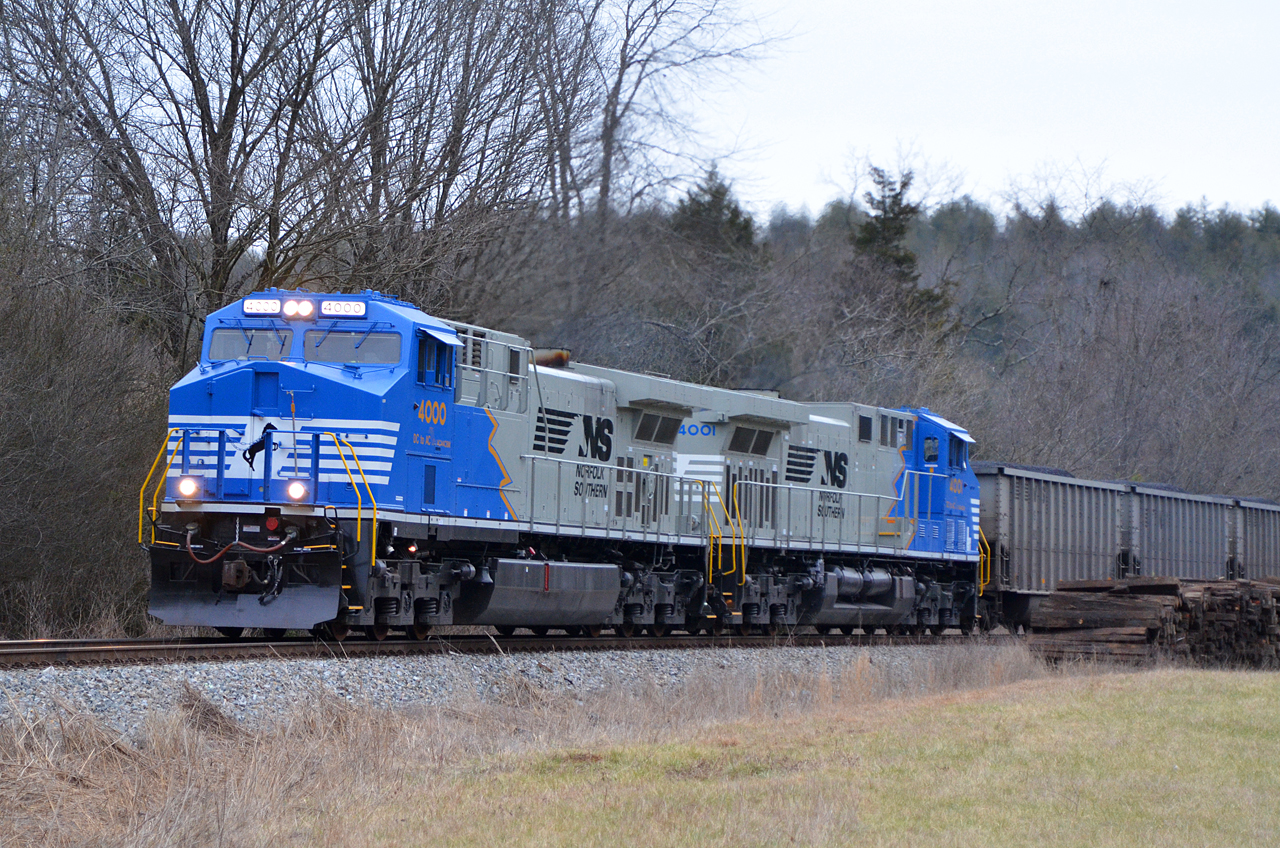
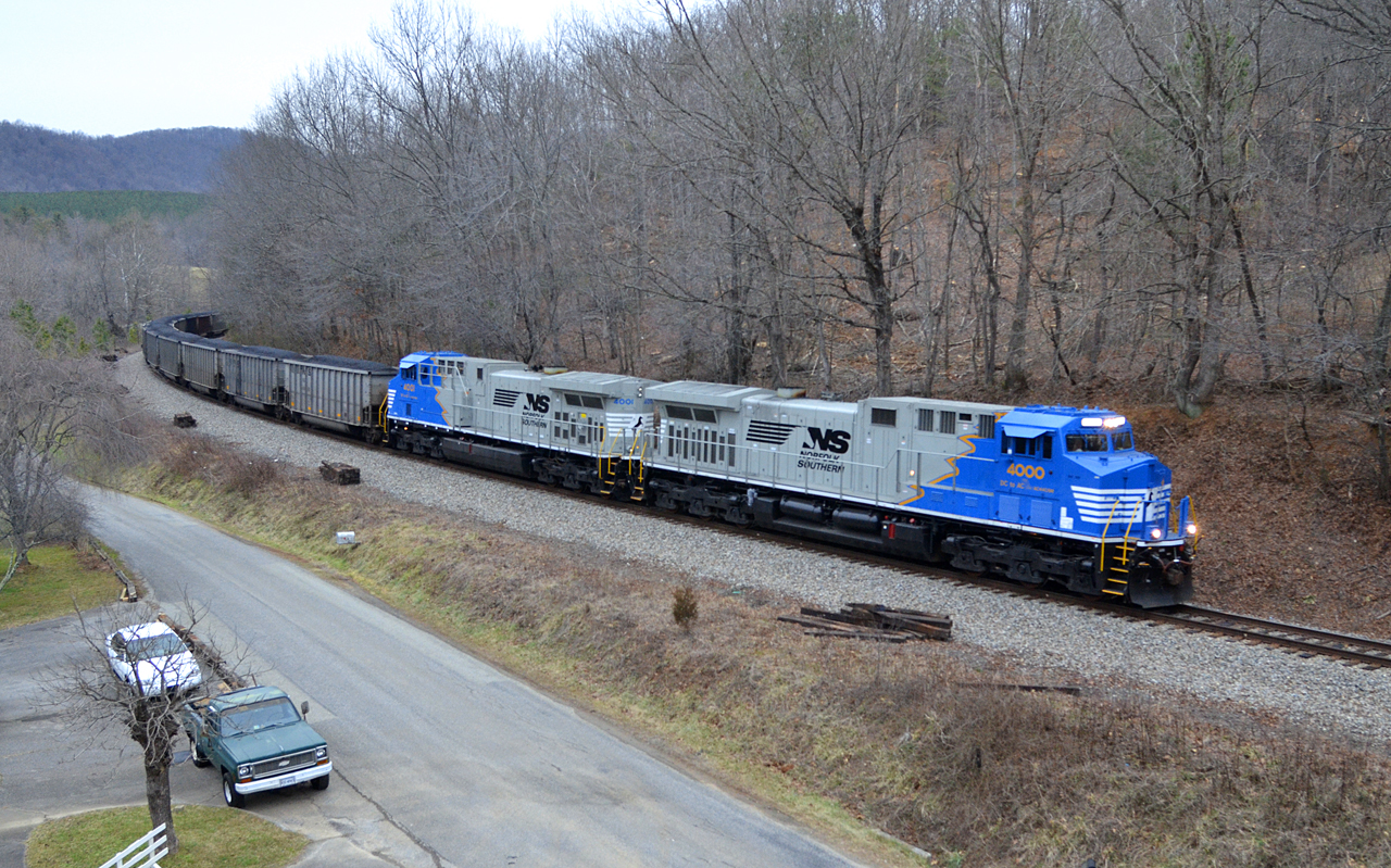
2016 02-12 1658 NS AC44C6M-4000, 4001 S/B 746 at Henry, VA

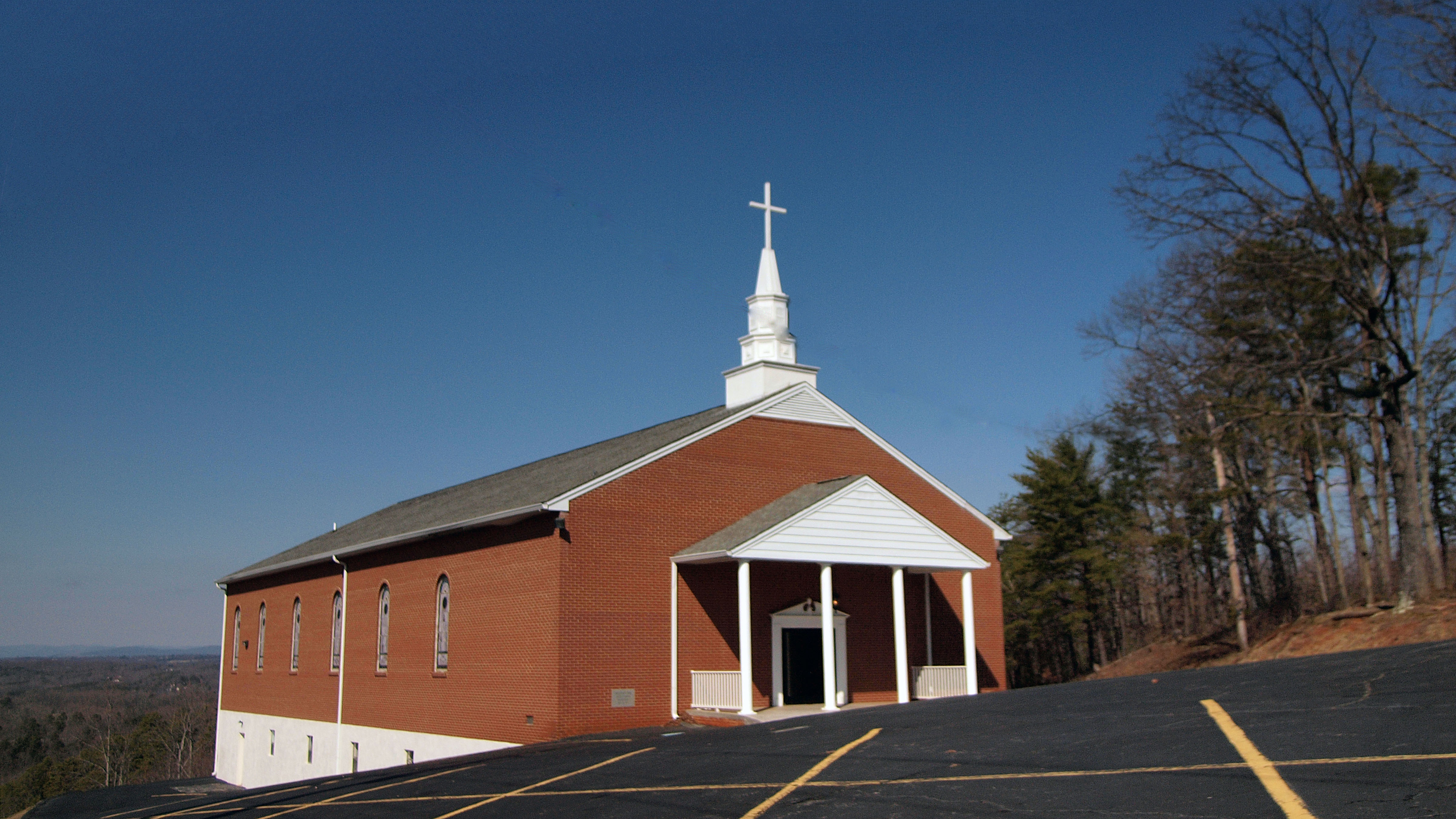
Mountain View Baptist
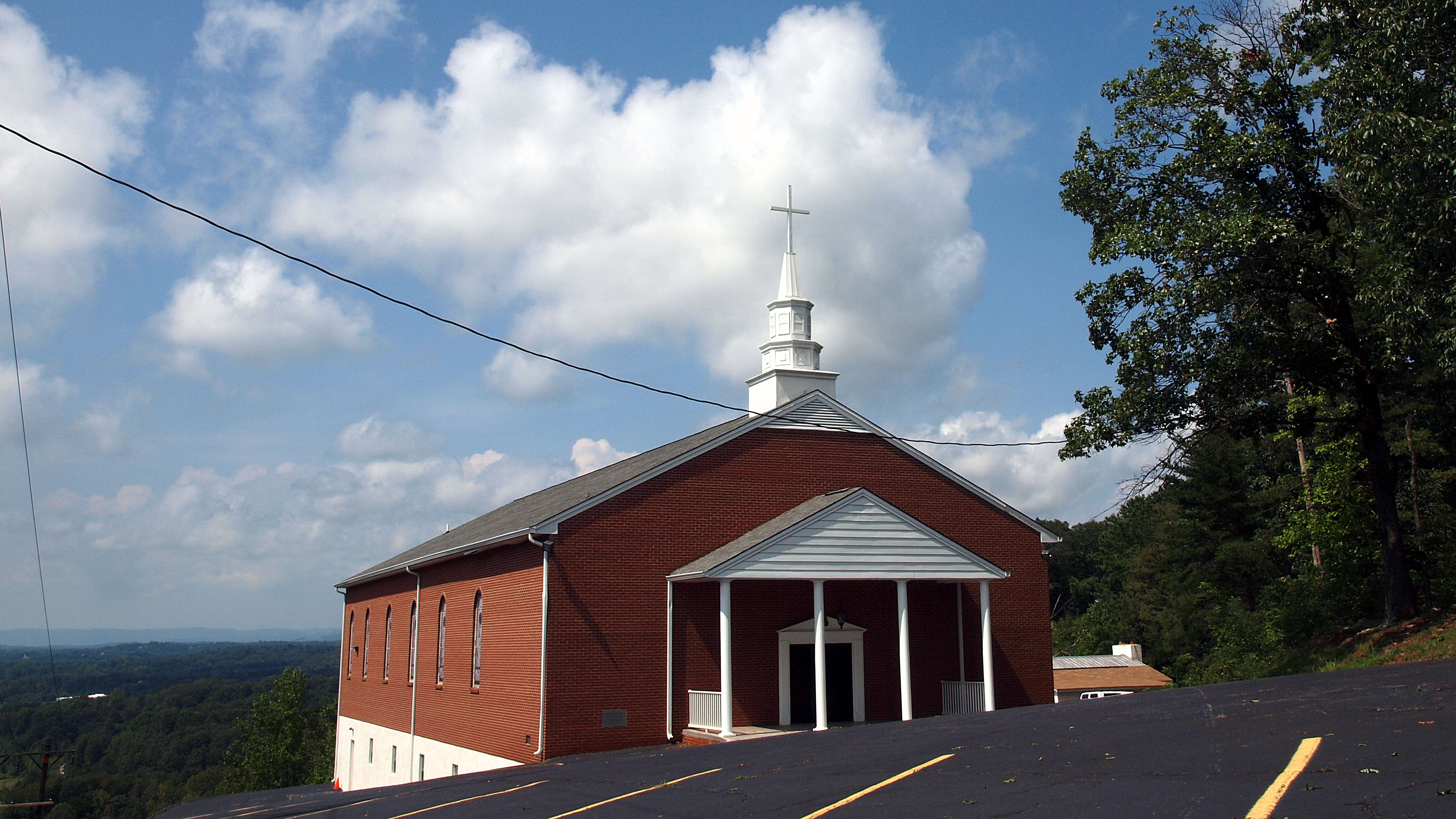
Mountain View Baptist
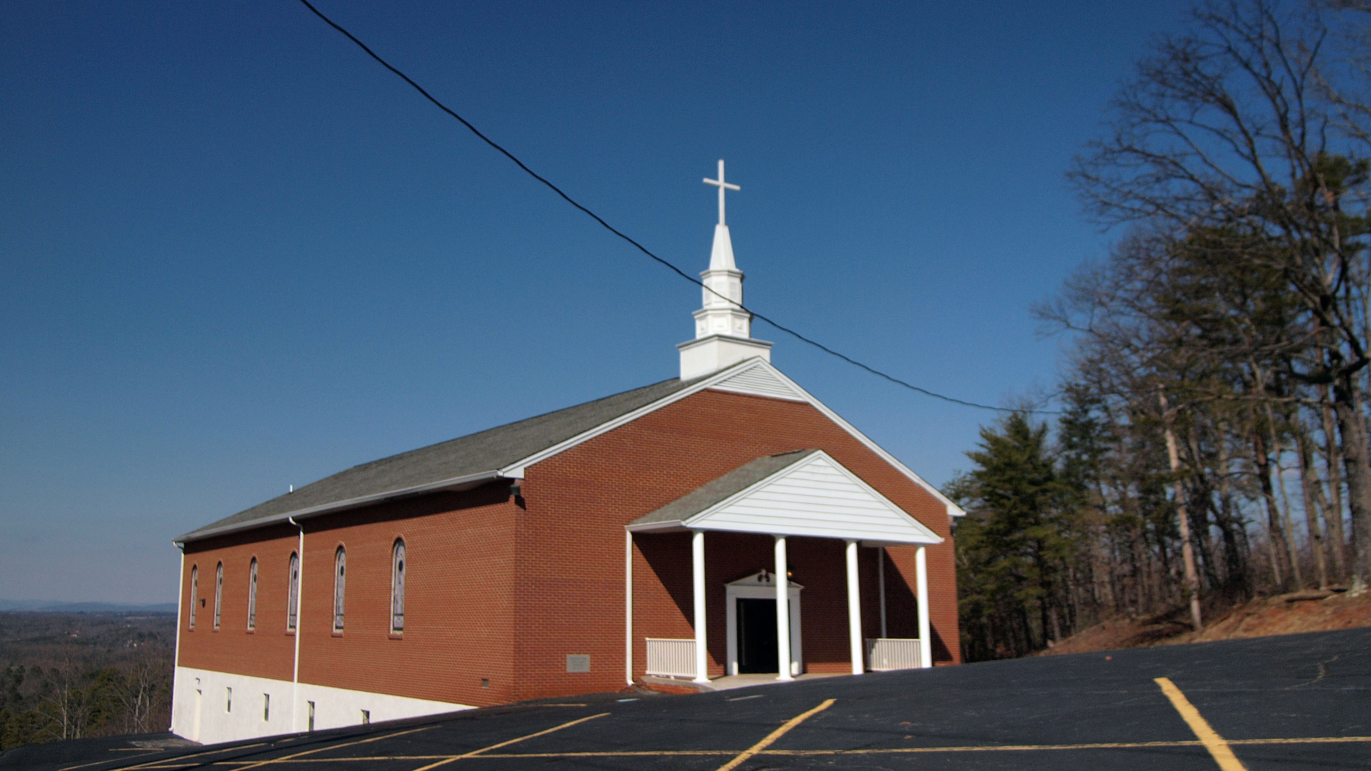
Mountain View Baptist
15' Totem Style Sign

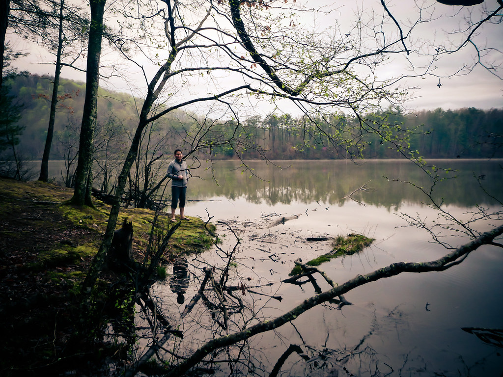
Philpott Lake, View from Dam
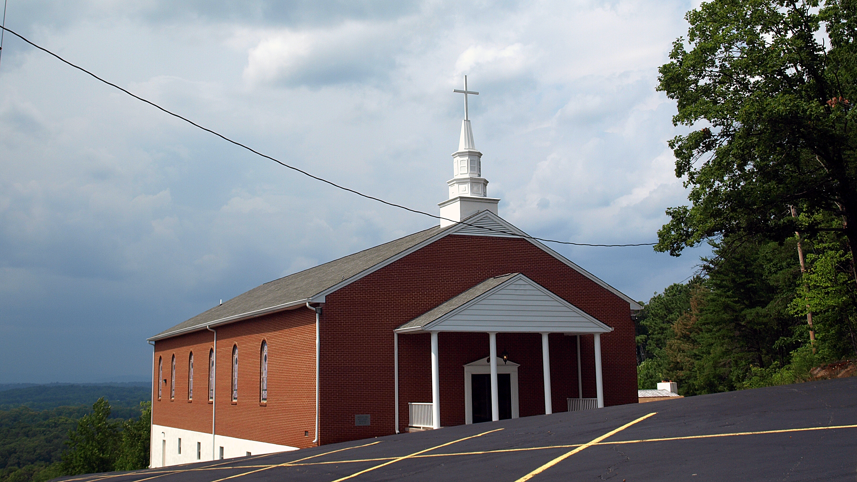
Mountain View Baptist Church
Mountain View Baptist
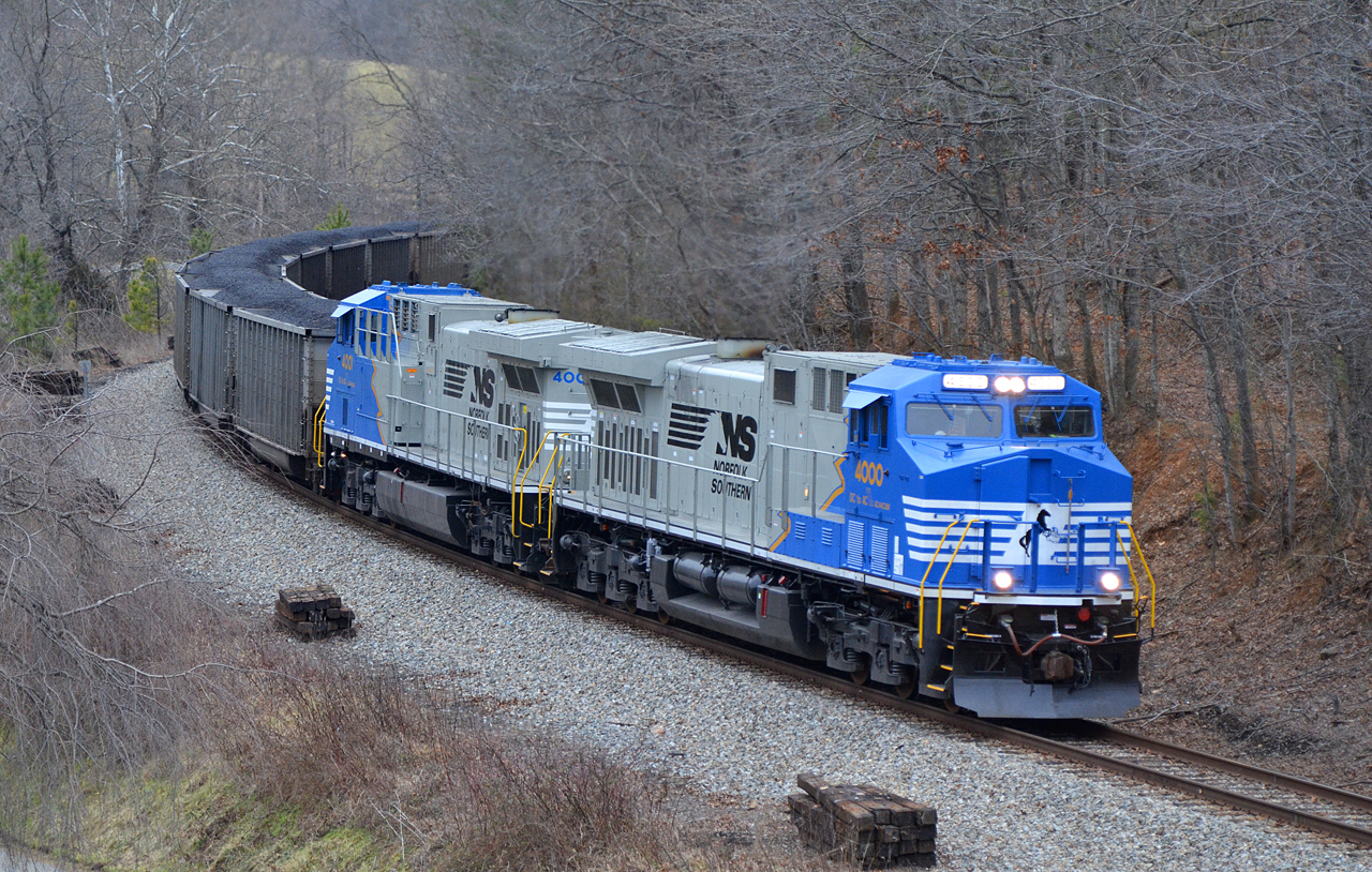
2016 02-12 1637 NS AC44C6M-4000, 4001 S/B 746 at Ferrum, VA
2016 02-12 1637.8 NS AC44C6M-4000, 4001 S/B 746 at Ferrum, VA
sly by the lake
The beauty of life lies beyond...
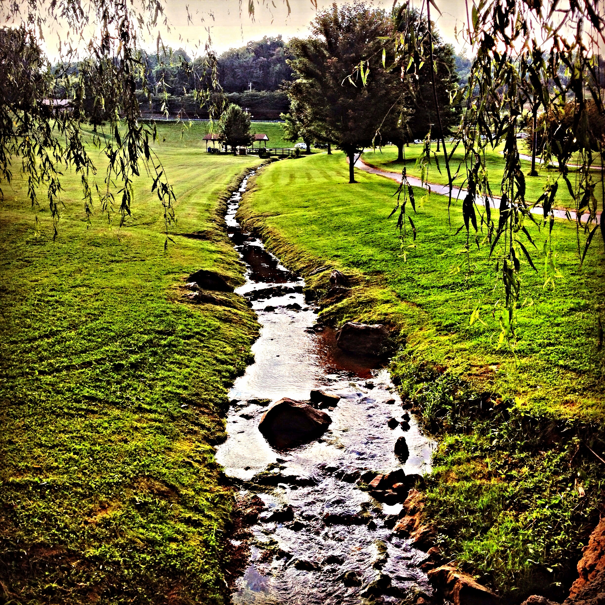
Let life flow
Bridge the gap of life

Beaver Creek Reservoir 4
Weeping Willow is the name
Beautiful day on the lake
Didymosphenia geminata, Smith River, below Philpott Dam, Franklin and Henry Counties, Virginia 1

Legs Up!

Smith River
2012-11-11 11.32.50.jpg
Landscape Panorama

Beaver Creek Reservoir 1

Waterfall, Bowen's Creek
4-MistOnSmthRiver
FS first day hikes

Old Man River

A lonely bench - A sad bench

Philpott Lake
Topographic Map of Philpott Dam, Bassett, VA, USA
Find elevation by address:

Places near Philpott Dam, Bassett, VA, USA:
6863 Fairystone Park Hwy
6863 Fairystone Park Hwy
224 Clarence Martin Rd
224 Clarence Martin Rd
1568 Crestview Dr
Red Pole Hollow Drive
Fairystone Farms Wildlife Management Area
Fairystone Park Hwy, Bassett, VA, USA
Bassett
Philpott Lake
Sunset Drive
7732 Henry Rd
Henry Rd, Henry, VA, USA
Henry
Original Henry Road
2063 Bassett Heights Rd
270 Elf Trail
Union Church Road
Reed Creek
Fairy Stone State Park
Recent Searches:
- Elevation of Corso Fratelli Cairoli, 35, Macerata MC, Italy
- Elevation of Tallevast Rd, Sarasota, FL, USA
- Elevation of 4th St E, Sonoma, CA, USA
- Elevation of Black Hollow Rd, Pennsdale, PA, USA
- Elevation of Oakland Ave, Williamsport, PA, USA
- Elevation of Pedrógão Grande, Portugal
- Elevation of Klee Dr, Martinsburg, WV, USA
- Elevation of Via Roma, Pieranica CR, Italy
- Elevation of Tavkvetili Mountain, Georgia
- Elevation of Hartfords Bluff Cir, Mt Pleasant, SC, USA