Elevation of Phillips Road, Phillips Rd, Harrisonburg, LA, USA
Location: United States > Louisiana > Catahoula Parish > Harrisonburg >
Longitude: -91.879154
Latitude: 31.8221754
Elevation: 27m / 89feet
Barometric Pressure: 101KPa
Elevation Map:
Satellite Map:
Related Photos:

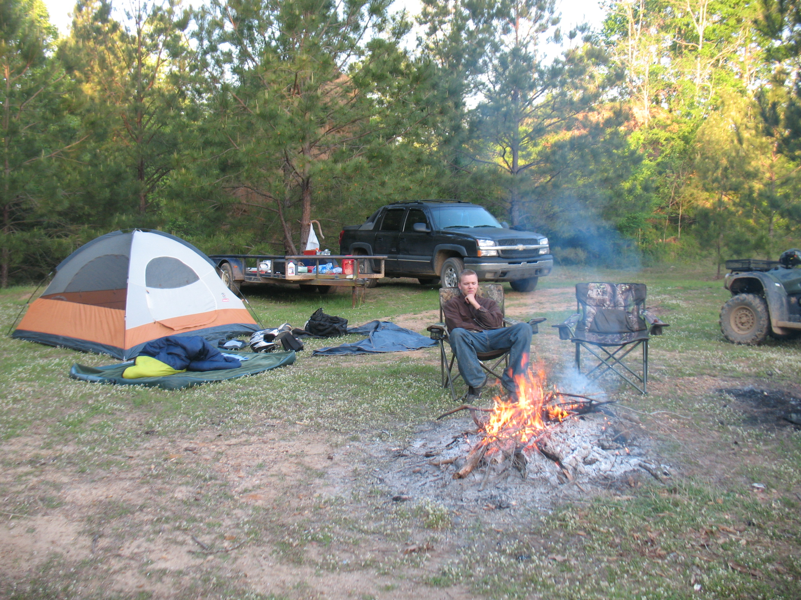
Scott - Cool morning camping at Sicily Island Louisiana

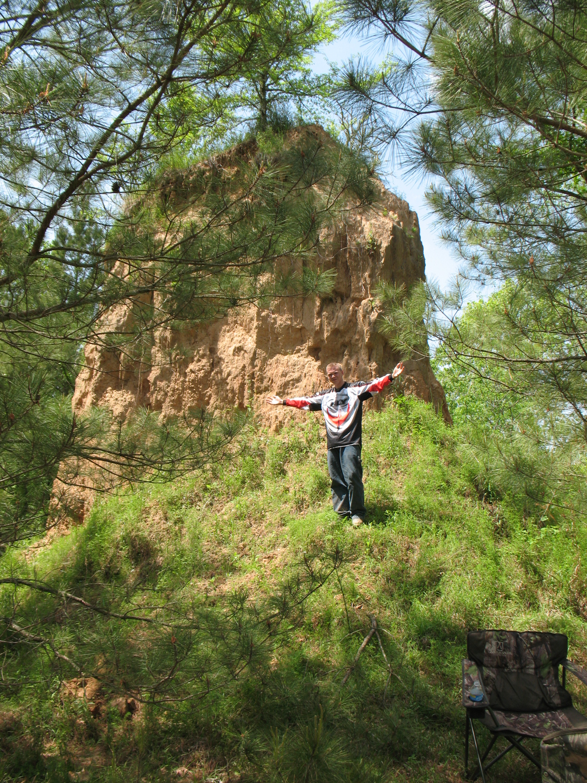
David at the Sand hill Sicley Island
David @ Sicily Island
David camping at Sicley Island

Paul @ Sicley Island

David @ Sicley Island - cool
Soon to be finished
Soon to be replaced
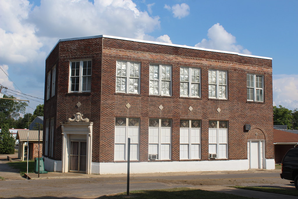
Harrisonburg State Bank
King and Lightning
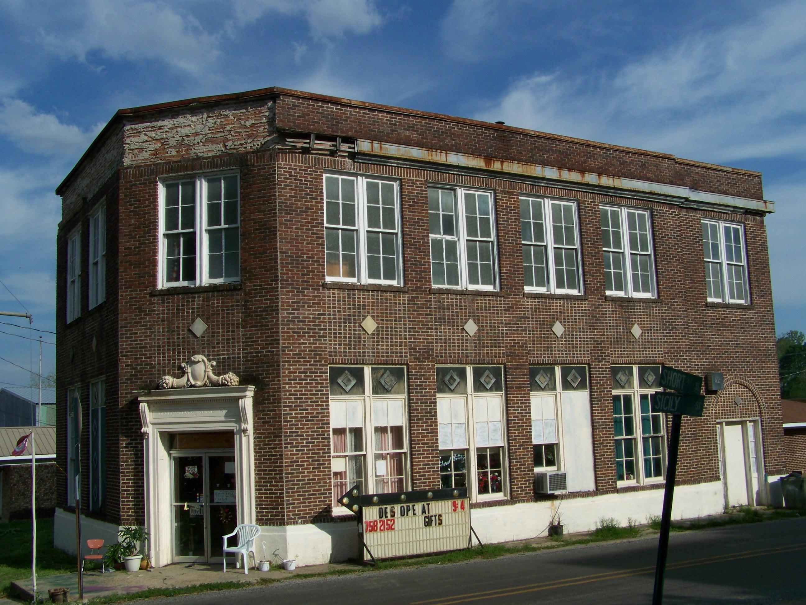
Harrisonburg State Bank- Harrisonburg LA
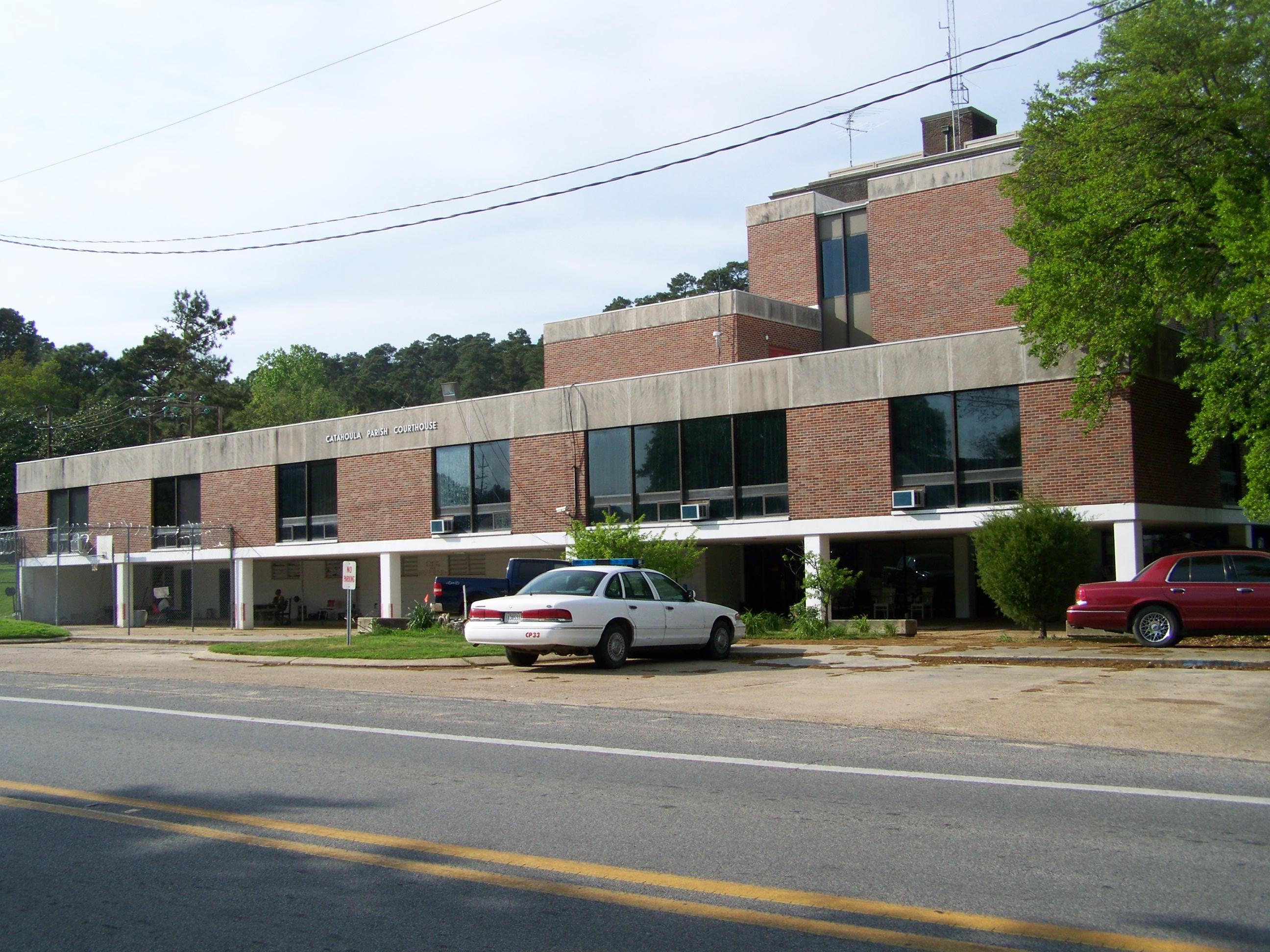
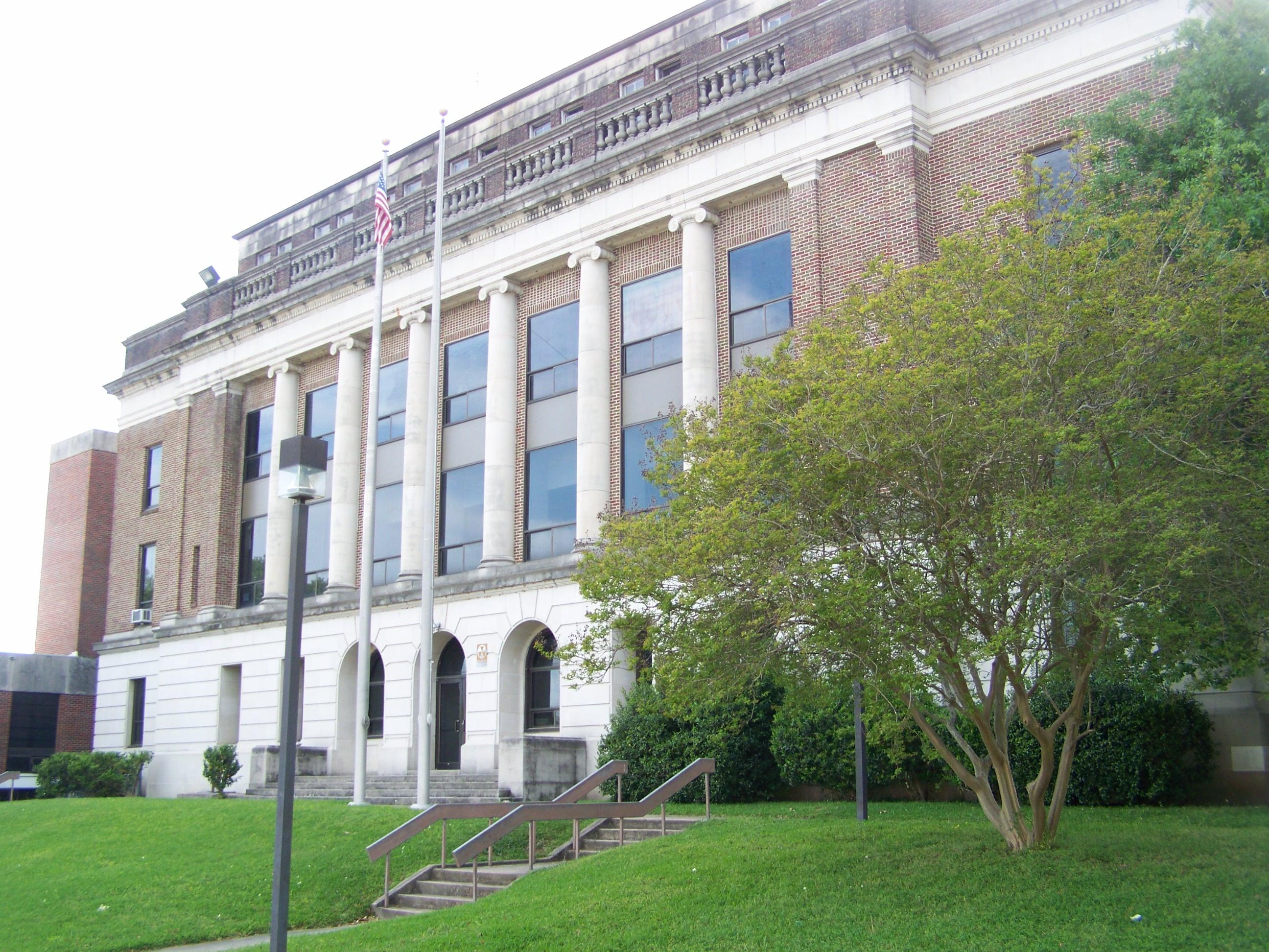
Catahoula Parish Courthouse- Harrisonburg LA 1
Catahoula Parish Courthouse- Harrisonburg LA
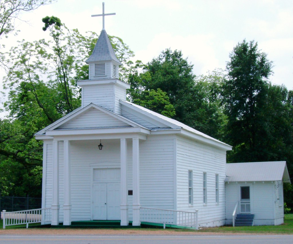
Methodist Church (Harrisonburg, Louisiana)
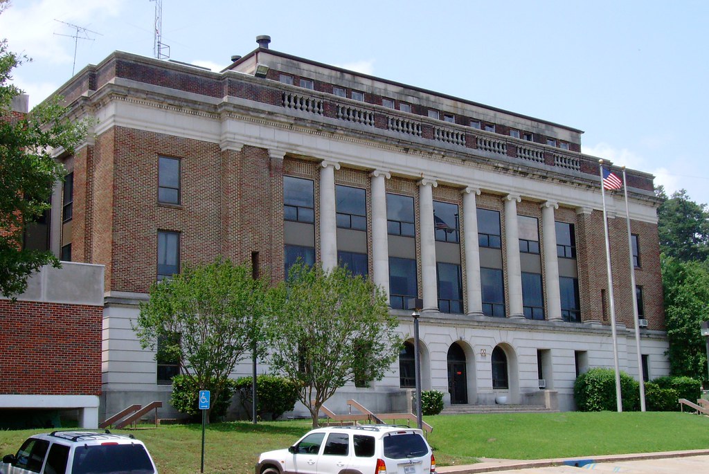
Catahoula Parish Courthouse (Harrisonburg, Louisiana)
Topographic Map of Phillips Road, Phillips Rd, Harrisonburg, LA, USA
Find elevation by address:

Places near Phillips Road, Phillips Rd, Harrisonburg, LA, USA:
Phillips Road
3, LA, USA
Harrisonburg
2526 Posey Webb Camp Rd
2526 Posey Webb Camp Rd
Catahoula Parish
219 Shady Ln
219 Shady Ln
9710 La-126
13371 La-126
5, LA, USA
2, LA, USA
705 Berry Ln
1, LA, USA
151 Par Rd 5a-47
1, LA, USA
6, LA, USA
LA-, Wisner, LA, USA
1820 La-126
US-84, Jonesville, LA, USA
Recent Searches:
- Elevation of Corso Fratelli Cairoli, 35, Macerata MC, Italy
- Elevation of Tallevast Rd, Sarasota, FL, USA
- Elevation of 4th St E, Sonoma, CA, USA
- Elevation of Black Hollow Rd, Pennsdale, PA, USA
- Elevation of Oakland Ave, Williamsport, PA, USA
- Elevation of Pedrógão Grande, Portugal
- Elevation of Klee Dr, Martinsburg, WV, USA
- Elevation of Via Roma, Pieranica CR, Italy
- Elevation of Tavkvetili Mountain, Georgia
- Elevation of Hartfords Bluff Cir, Mt Pleasant, SC, USA