Elevation of Phillips Rd, Wausaukee, WI, USA
Location: United States > Wisconsin > Marinette County > Wagner >
Longitude: -87.753587
Latitude: 45.2769509
Elevation: 213m / 699feet
Barometric Pressure: 99KPa
Elevation Map:
Satellite Map:
Related Photos:

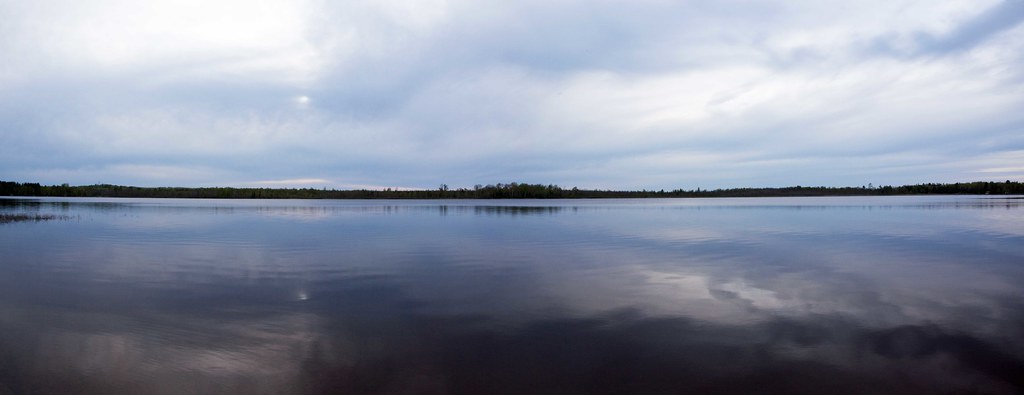
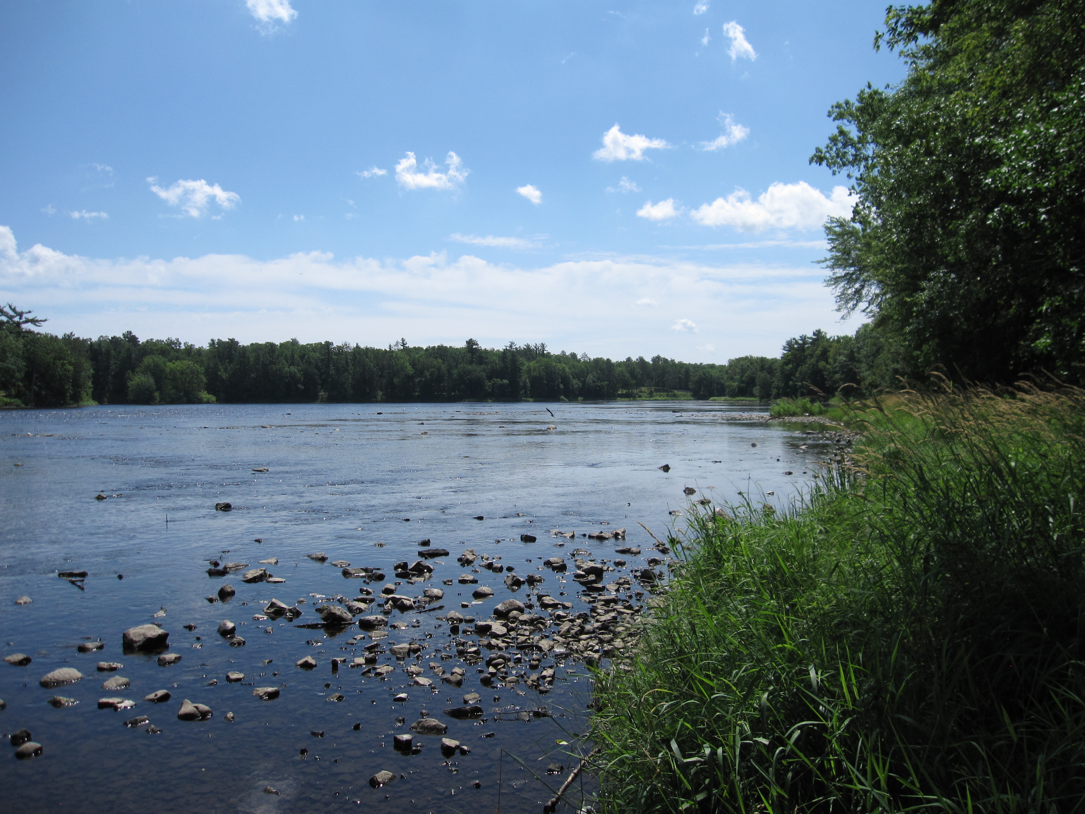
River's bend panorama
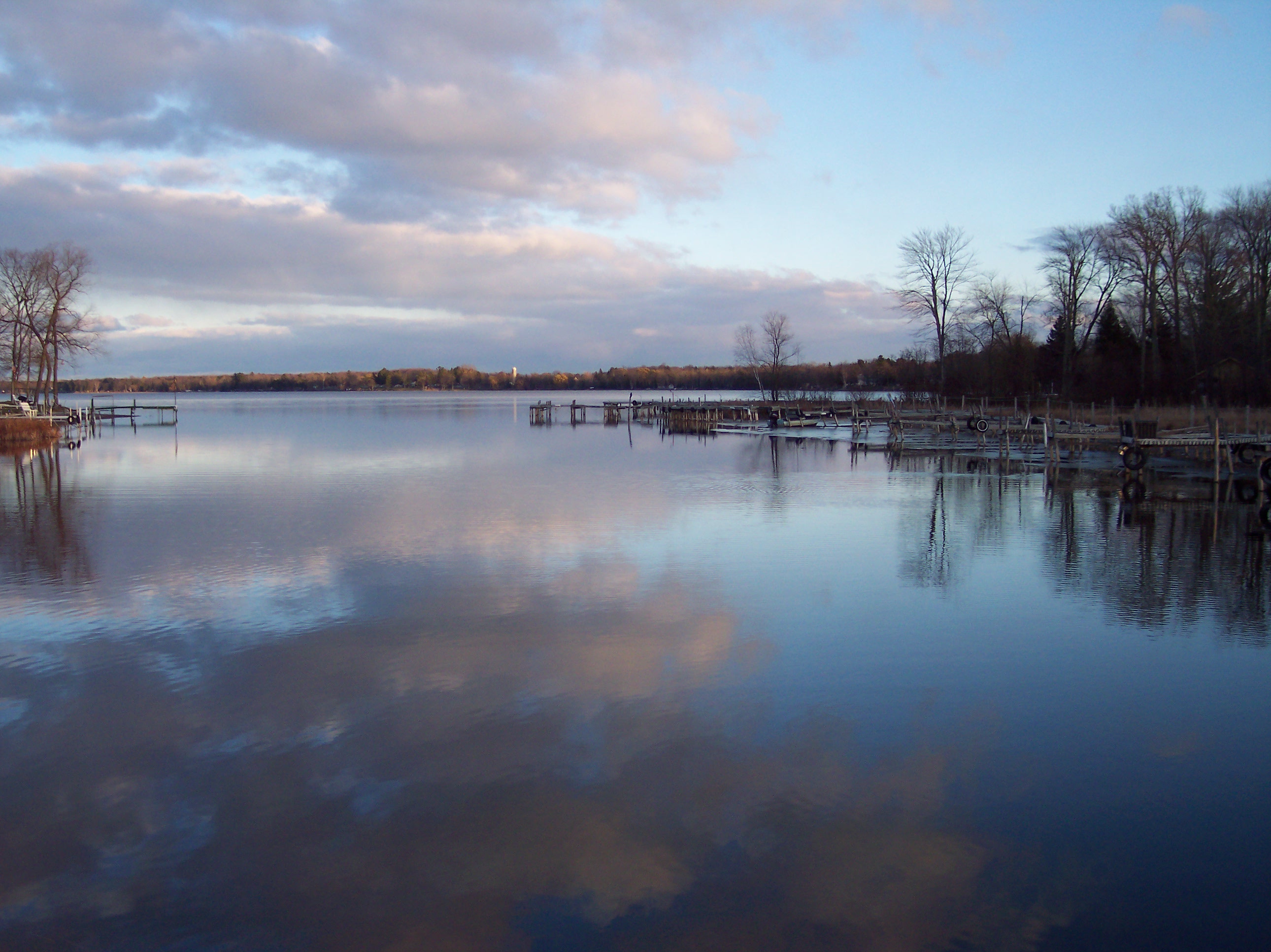
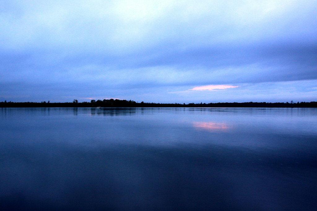
Reflections on Lake Noquebay, Wisconsin
Evening Bite
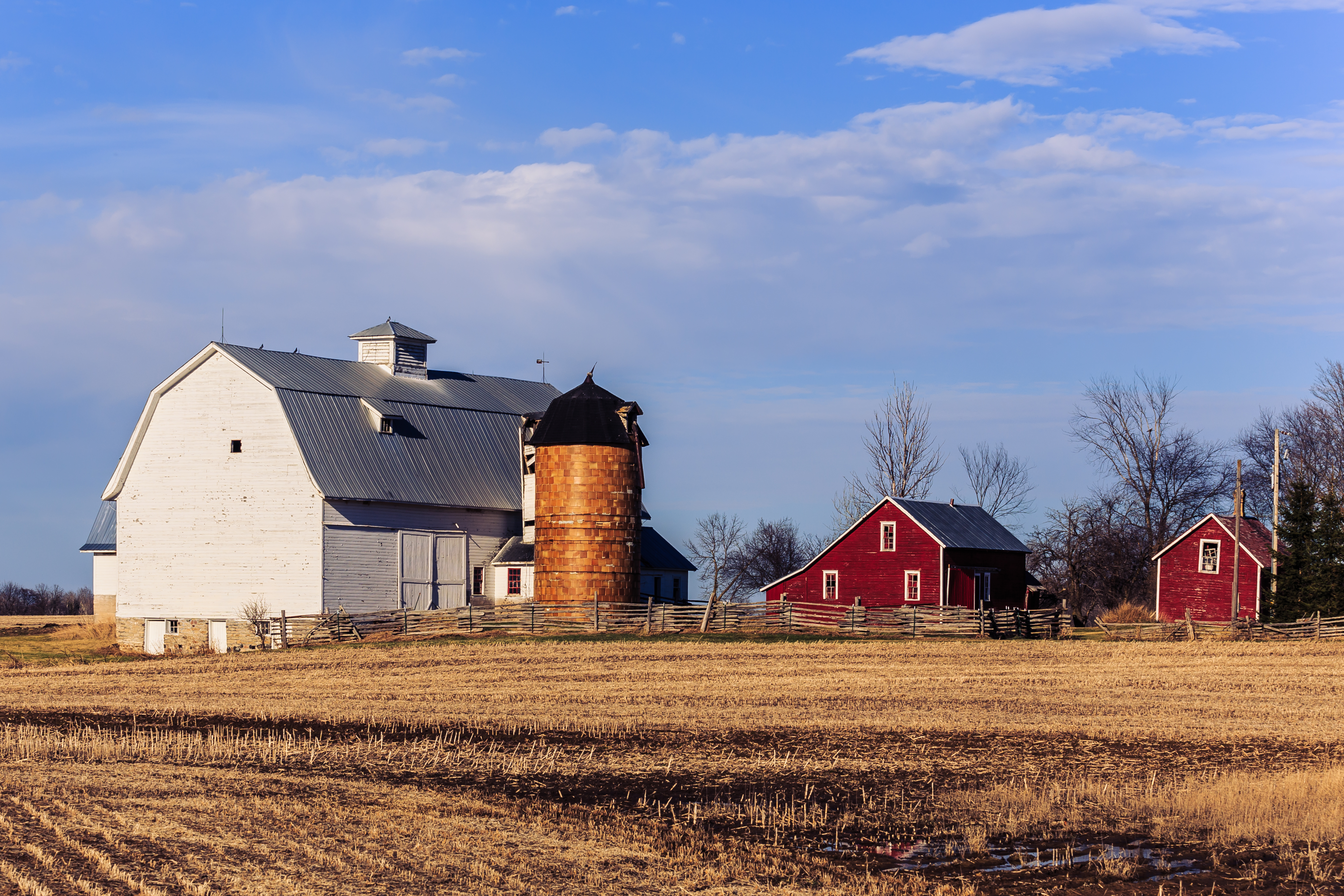
Walsh Farm

"Clouds Over The Menominee"
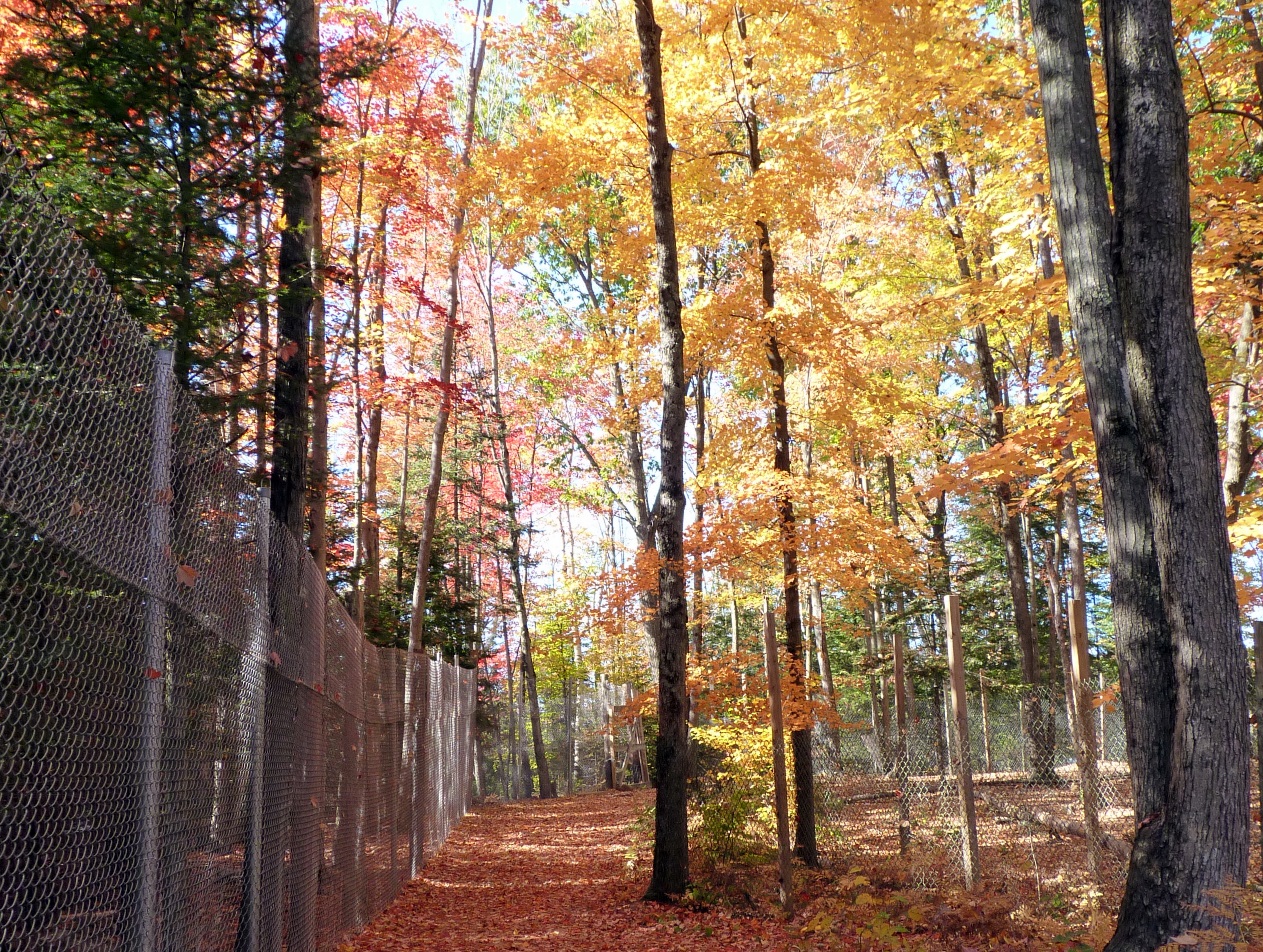
Not how you expect a zoo to look
Fly By

07-19-2013 Ride Twin Island Park, WI

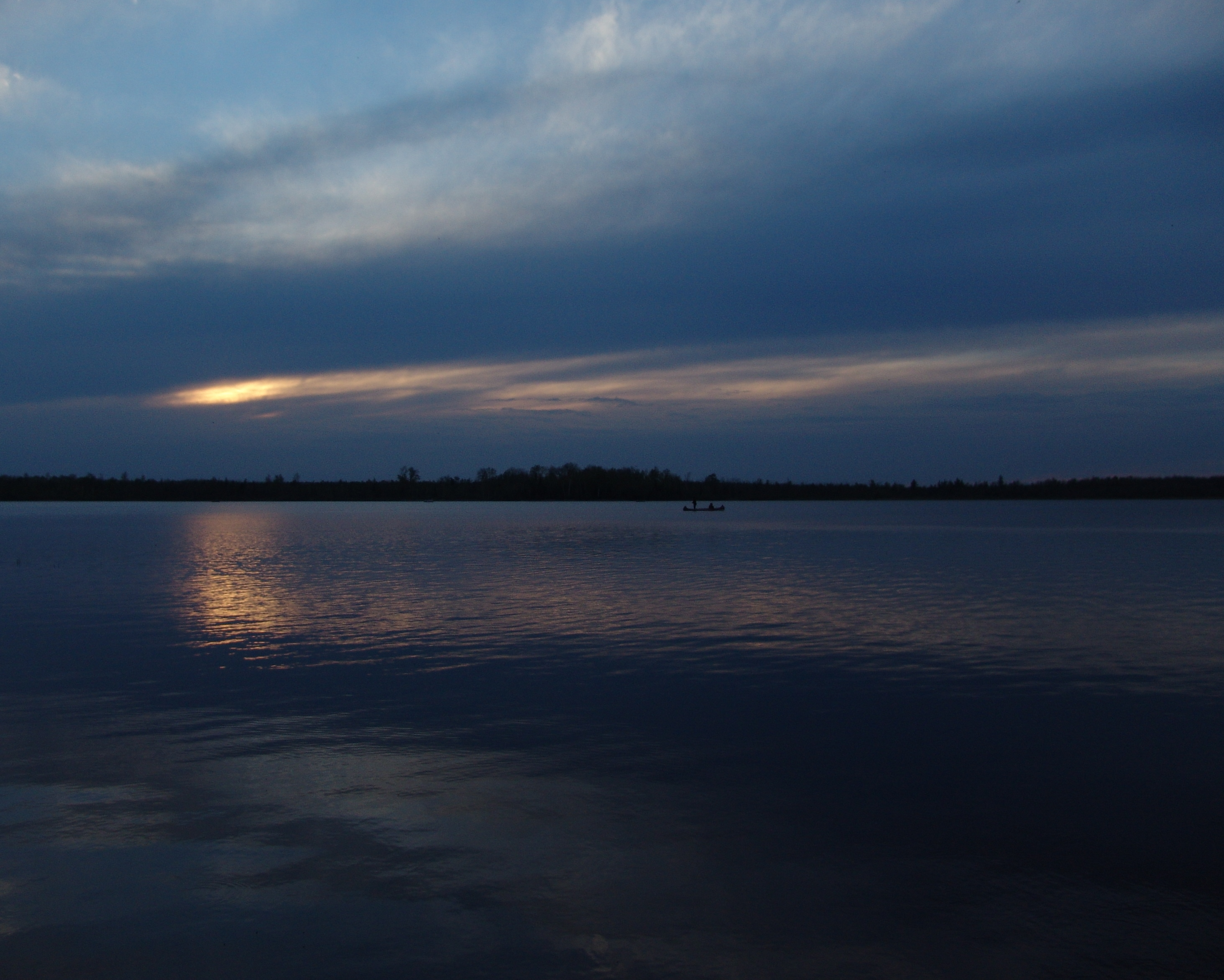
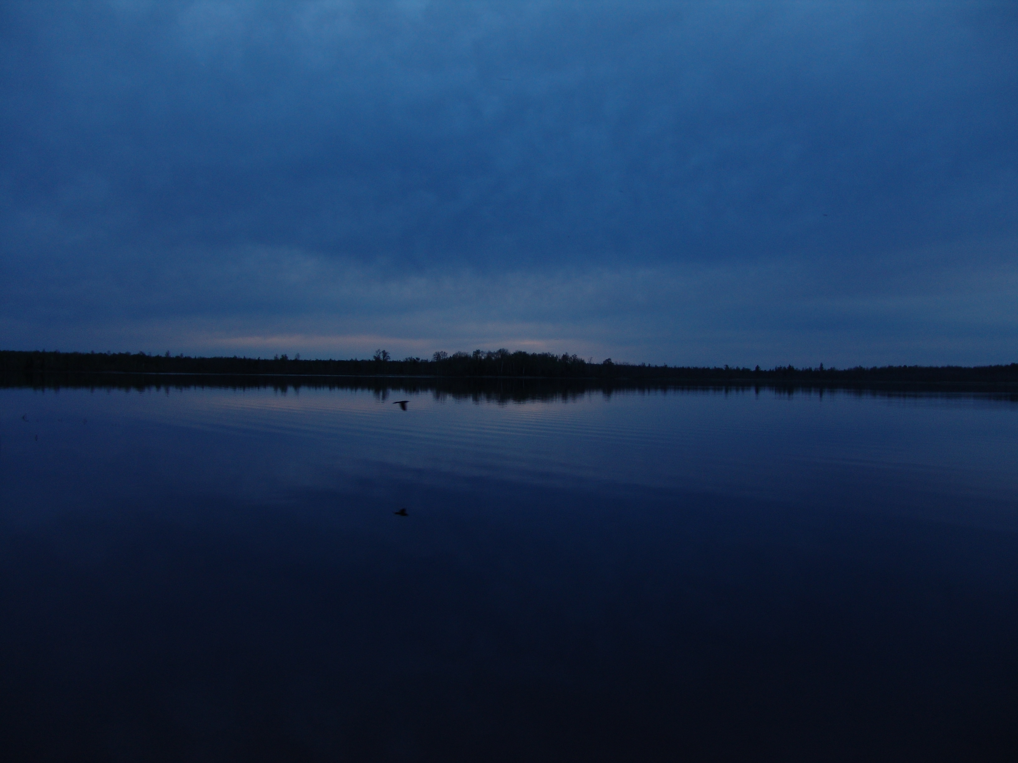
Paddling Darkness
Labor Day Lake Mary 2011

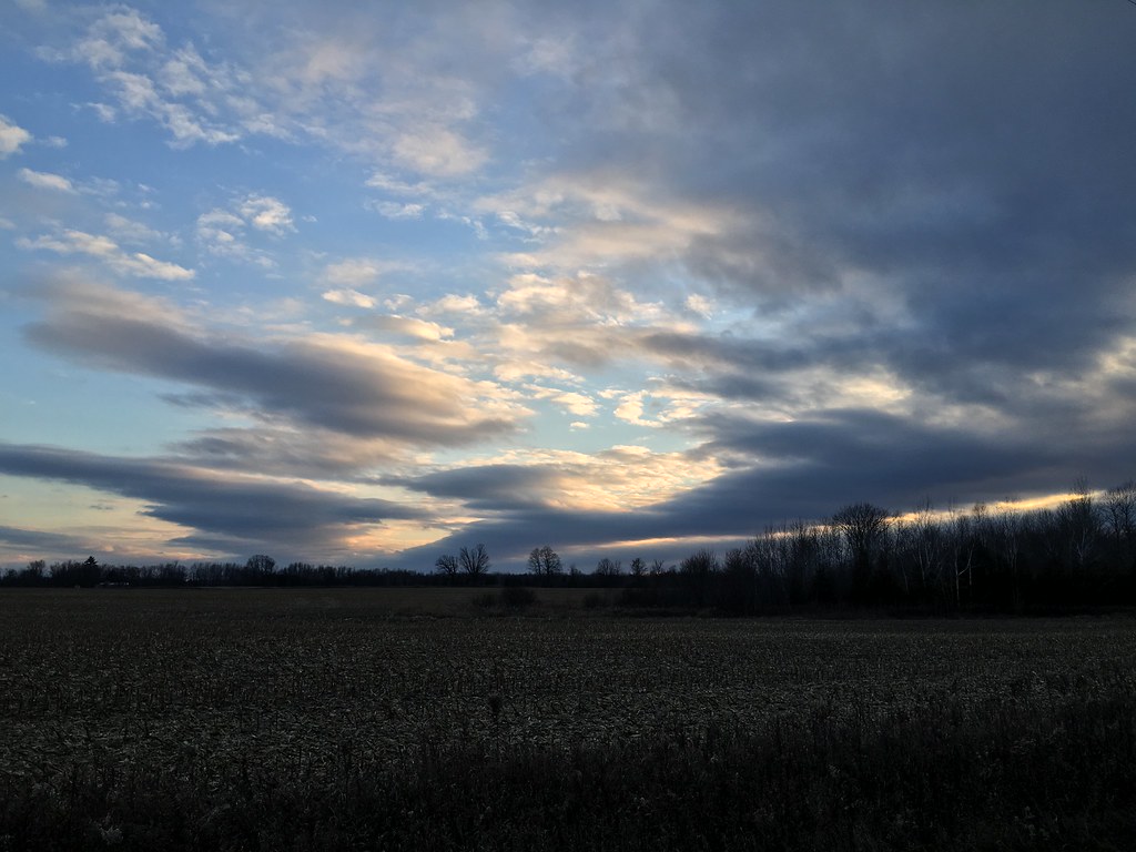
Rural road under morning skies
Late fall sunset

Porterfield Depot?
Lake Mary Memorial Weekend
07-19-2013 Ride Twin Island Park, WI
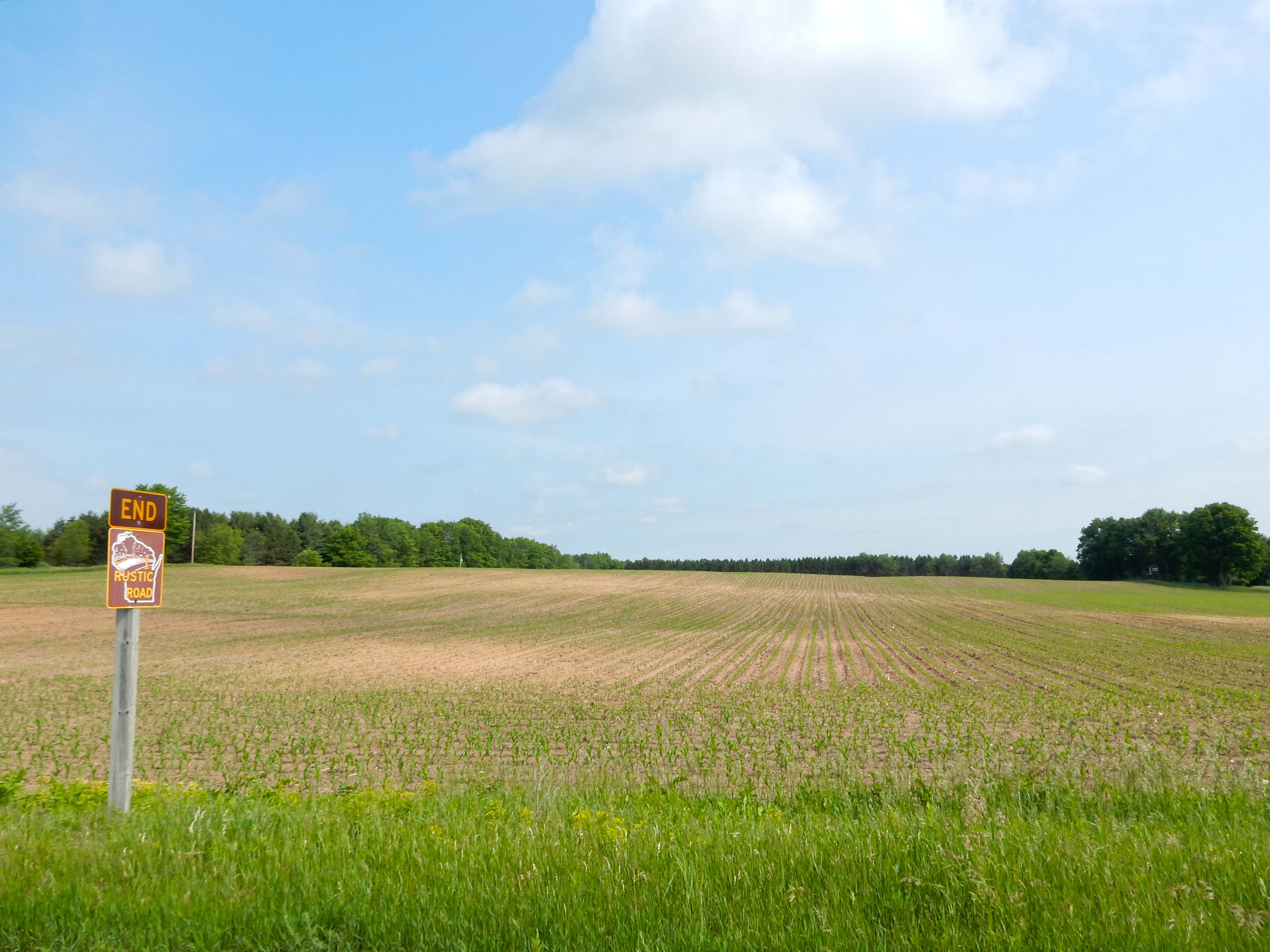
06-10-2016 Ride Rustic Road R44
Topographic Map of Phillips Rd, Wausaukee, WI, USA
Find elevation by address:

Places near Phillips Rd, Wausaukee, WI, USA:
4725 Sebero Rd
Wagner
Porterfield
Co Rd G, Porterfield, WI, USA
N10533 Forest Rd
Co Rd JJ, Wausaukee, WI, USA
Rowe Rd, Porterfield, WI, USA
Porterfield
Bagley Rd, Marinette, WI, USA
Wallace
Loomis Rd, Porterfield, WI, USA
Lake
Stephenson
W5528 Powers Rd
Marinette
Wausaukee
909 Wells St
Peshtigo
French St, Peshtigo, WI, USA
Sweetheart City Rd, Wausaukee, WI, USA
Recent Searches:
- Elevation of Corso Fratelli Cairoli, 35, Macerata MC, Italy
- Elevation of Tallevast Rd, Sarasota, FL, USA
- Elevation of 4th St E, Sonoma, CA, USA
- Elevation of Black Hollow Rd, Pennsdale, PA, USA
- Elevation of Oakland Ave, Williamsport, PA, USA
- Elevation of Pedrógão Grande, Portugal
- Elevation of Klee Dr, Martinsburg, WV, USA
- Elevation of Via Roma, Pieranica CR, Italy
- Elevation of Tavkvetili Mountain, Georgia
- Elevation of Hartfords Bluff Cir, Mt Pleasant, SC, USA