Elevation map of Phetchabun, Thailand
Location: Thailand >
Longitude: 101.119280
Latitude: 16.301669
Elevation: 115m / 377feet
Barometric Pressure: 100KPa
Elevation Map:
Satellite Map:
Related Photos:

Top sea view from Samui.
HDR
Lake

โตในรถตู้ กินนอนในรถ ในที่สุดเราก็ถึงเพชรบูรณ์ เย้ๆ #กว่าจะถึง555 Next Station เขาค้อ ลุย #เขาค้อ #เพชรบูรณ์

Besökare Samtidigt

Col.phongphat songsoontorn

#朝

Pipit Pattira Tom Mair

#nikon #nature #animal #chameleon #lizard

Petchaboon, TH

Petchaboon, TH

Affogato ~~

wheel of death
80 baht tickets
market reflections
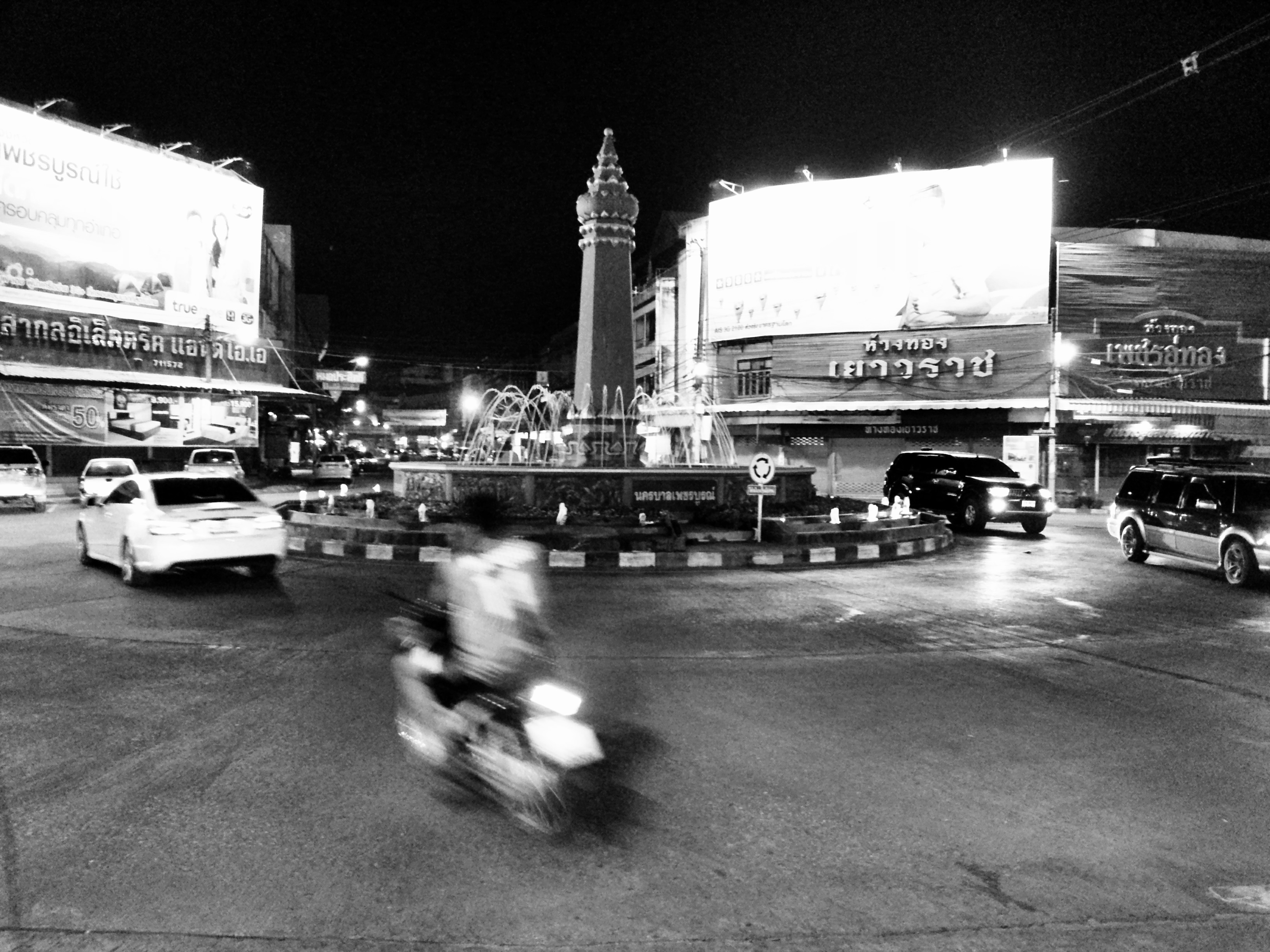
downtown phetchabun

Double green!
PPK HDR

PPK HDR

ของเค้าดี

พักเที่ยงเติมะลังคน

My Lens

Photographic equipment
Topographic Map of Phetchabun, Thailand
Find elevation by address:

Places in Phetchabun, Thailand:
Khao Kho District
Lom Sak District
Lom Kao District
Nam Nao District
Mueang Phetchabun District
Nong Phai District
Bueng Sam Phan District
Places near Phetchabun, Thailand:
Mueang Phetchabun District
ศาลากลางจังหวัดเพชรบูรณ์
Sadiang
Muang Phetchabun District Office
Khao Kho District
Nong Phai District
Nong Phai
Nong Phai District Office
Phetchabun, Thailand
Khao Kho District Office
Khao Kho Thailand Post Office
Khaokho Baybay
Khao Kho
Thailand
Khaem Son
Khao Sai
The Blue Sky Resort @ Khao Kho
Lomsak Municipality Office
Lom Sak
Lom Sak District
Recent Searches:
- Elevation of Corso Fratelli Cairoli, 35, Macerata MC, Italy
- Elevation of Tallevast Rd, Sarasota, FL, USA
- Elevation of 4th St E, Sonoma, CA, USA
- Elevation of Black Hollow Rd, Pennsdale, PA, USA
- Elevation of Oakland Ave, Williamsport, PA, USA
- Elevation of Pedrógão Grande, Portugal
- Elevation of Klee Dr, Martinsburg, WV, USA
- Elevation of Via Roma, Pieranica CR, Italy
- Elevation of Tavkvetili Mountain, Georgia
- Elevation of Hartfords Bluff Cir, Mt Pleasant, SC, USA