Elevation of Phander Lake, Phander
Longitude: 72.9467948
Latitude: 36.1732981
Elevation: 2906m / 9534feet
Barometric Pressure: 71KPa
Elevation Map:
Satellite Map:
Related Photos:

Pak_075B Yasin to Shandur
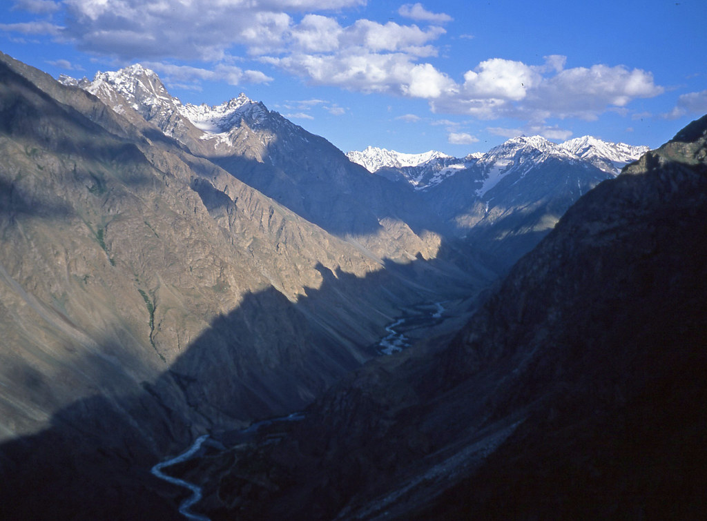
Pak_076A Yasin to Shandur
Pak_074 Yasin to Shandur

Pak_076 Yasin to Shandur

Autumn - Winter transition

Booted Warbler (Iduna caligata)

Oriental Skylark (Alauda gulgula)
Teru, Ghizer, Gilgit-Baltistan, Pakistan

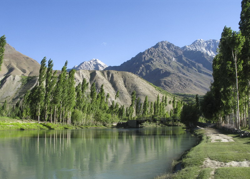
Phunder Pedestrian Bridge
Phundar, Ghizer, Gilgit-Baltistan, Pakistan
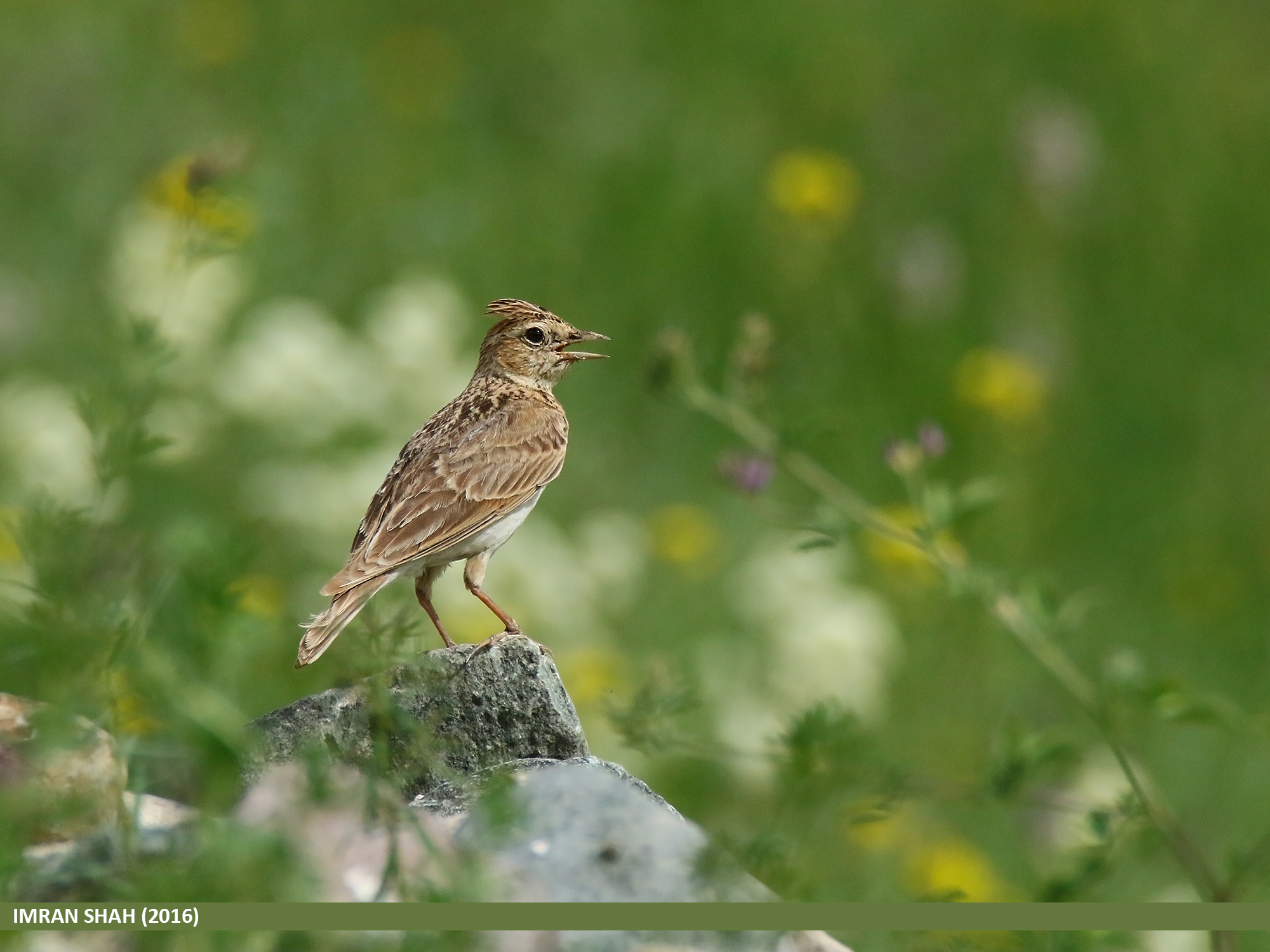
Oriental Skylark (Alauda gulgula)
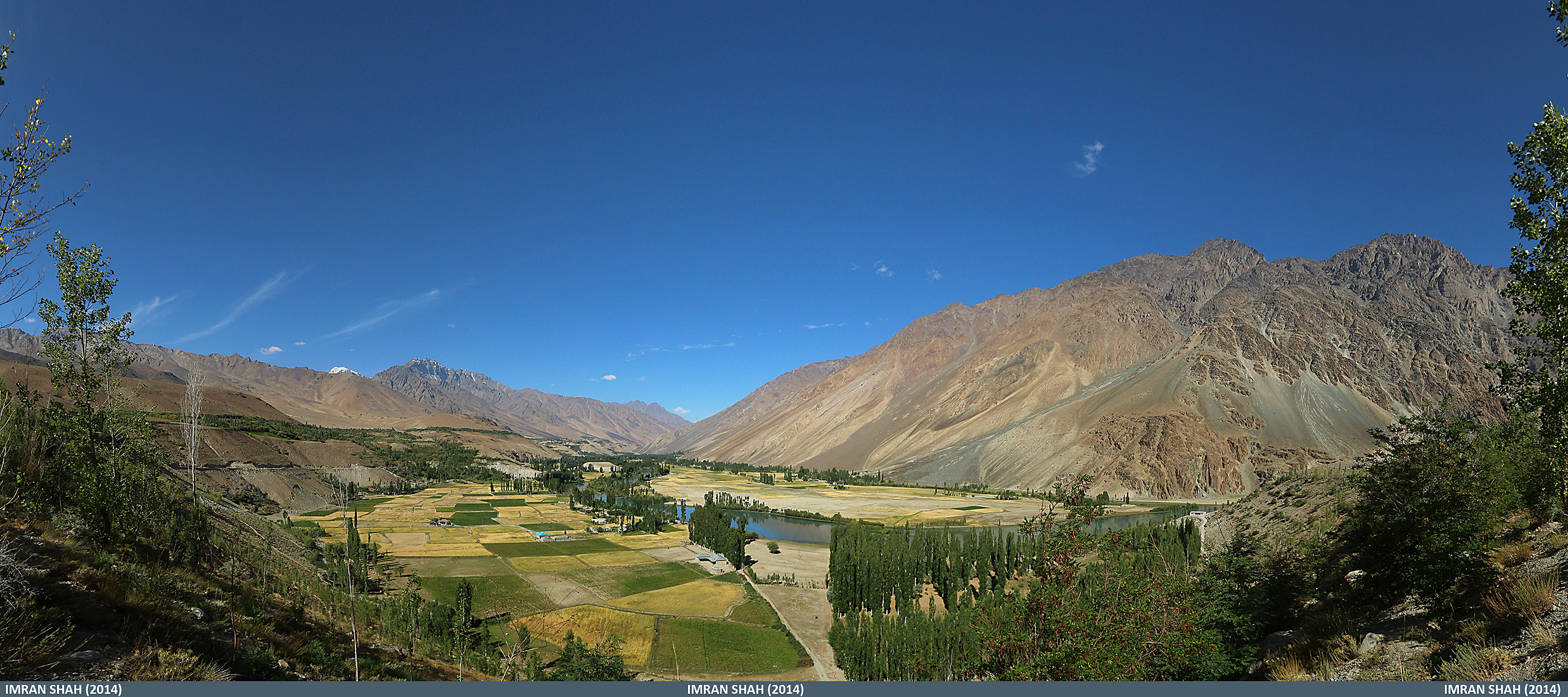
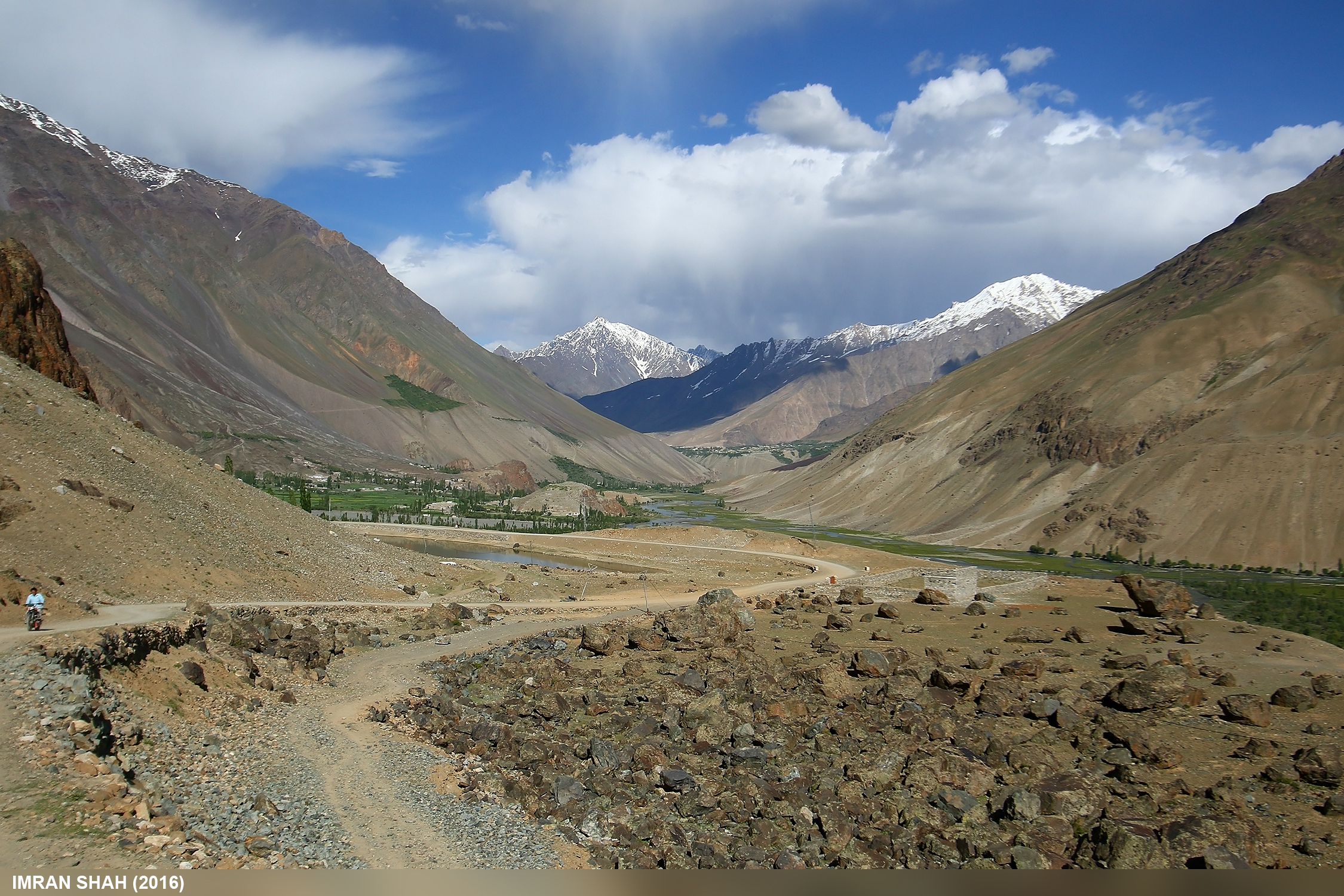
Phundar Valley, Ghizer from Govt. Rest House in Gilgit-Baltistan, Pakistan
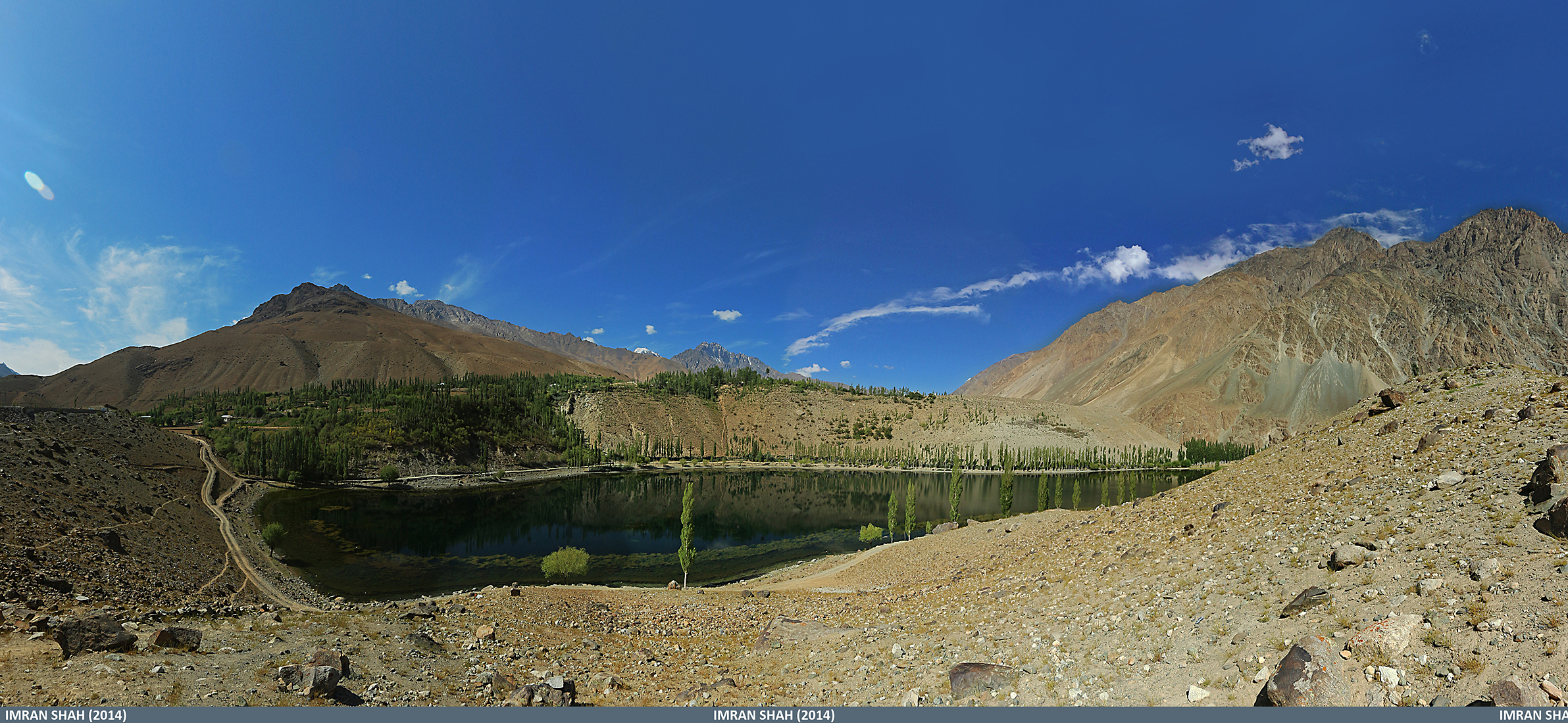
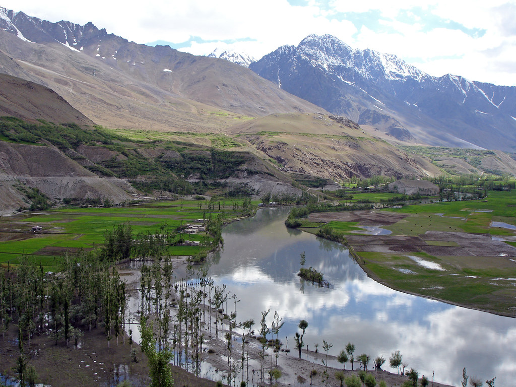
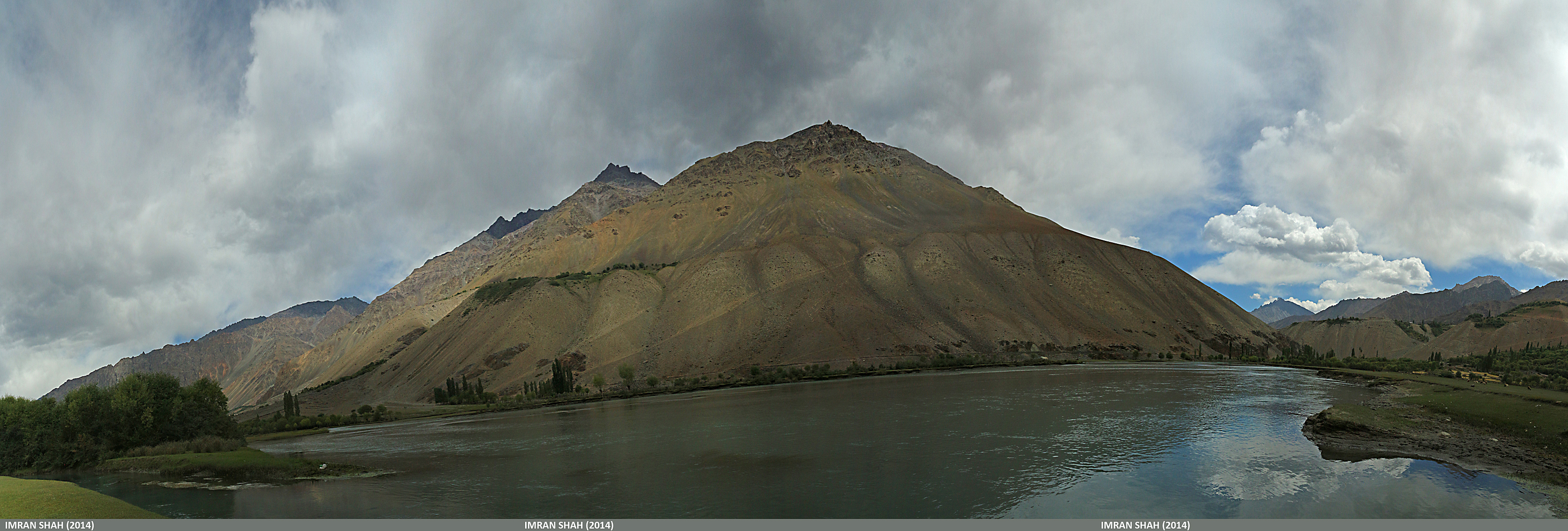
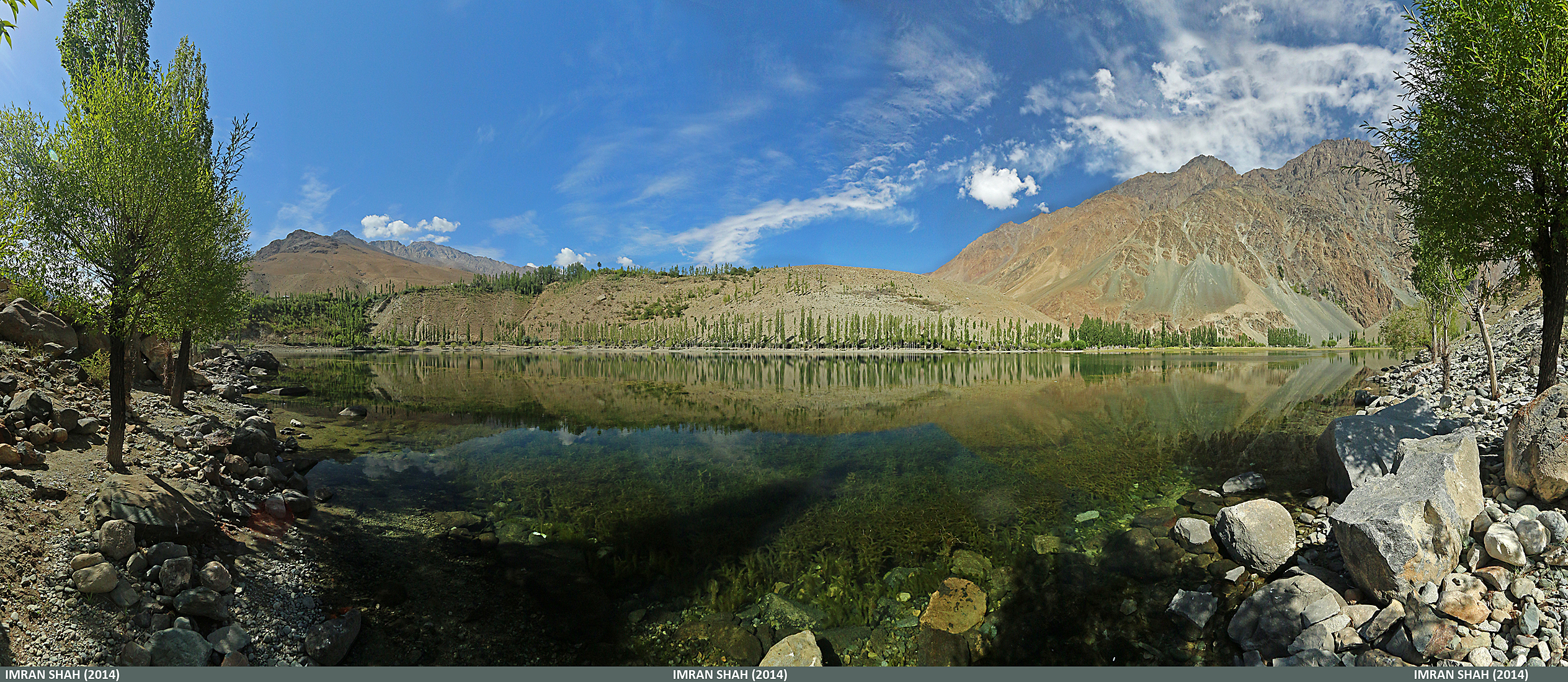
Phundar Lake, Ghizer in Gilgit-Baltistan, Pakistan

Pak_072 Yasin to Shandur
Phander Village
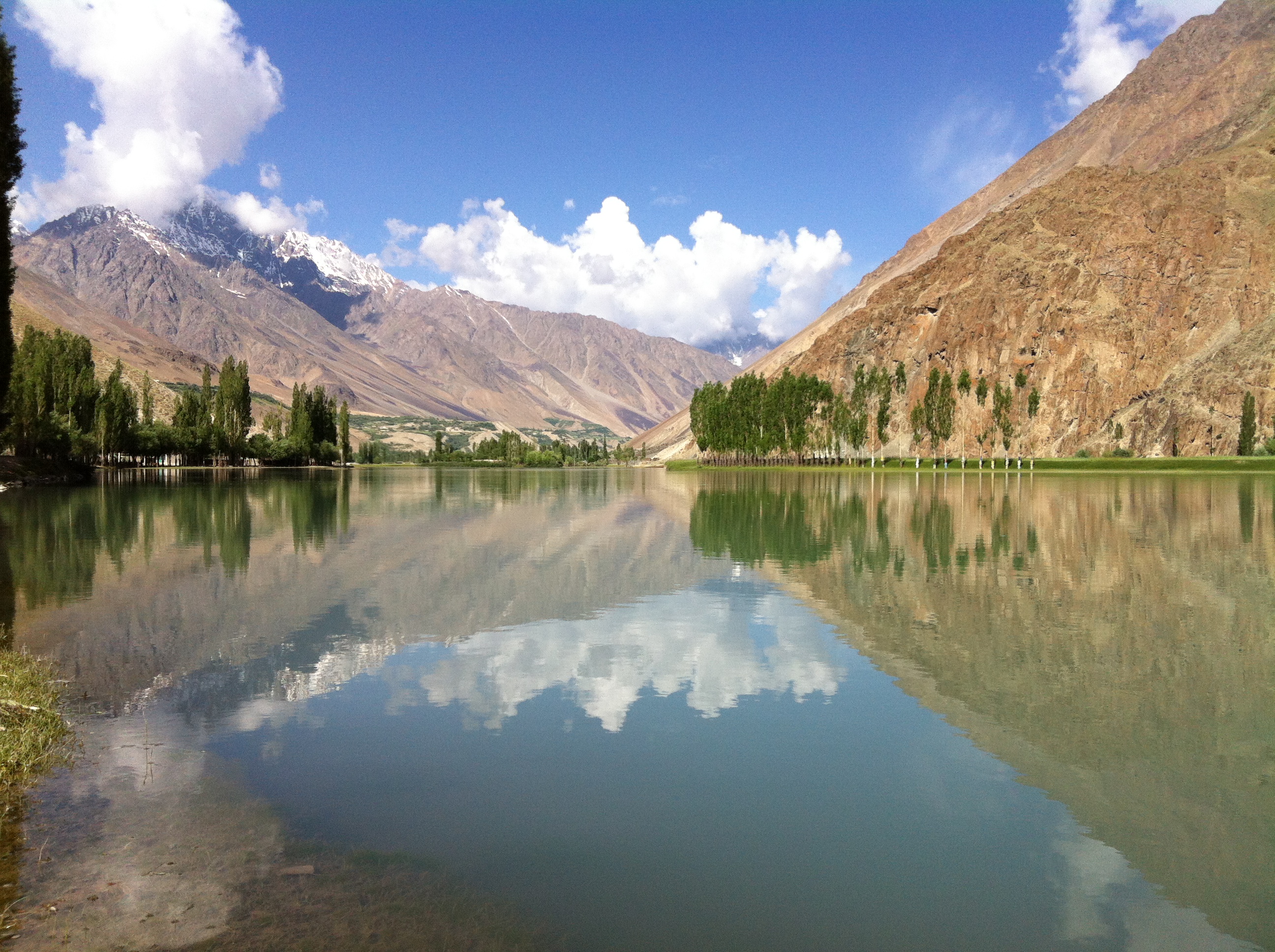
Phander Lake
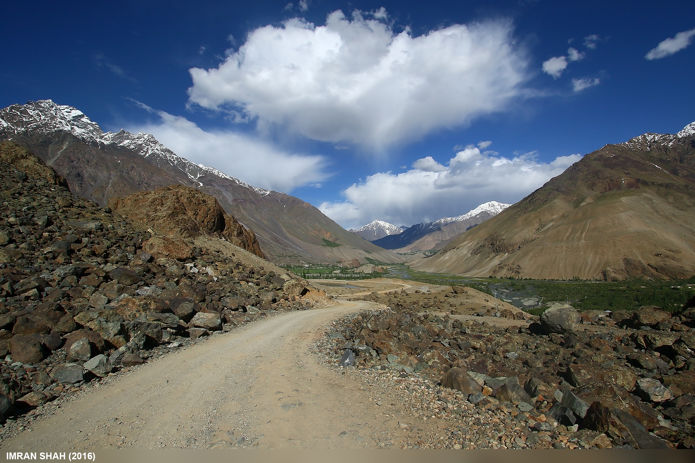
Ghizer-Chitral Road

PkSha-sD0239

Pak_071 Yasin to Shandur
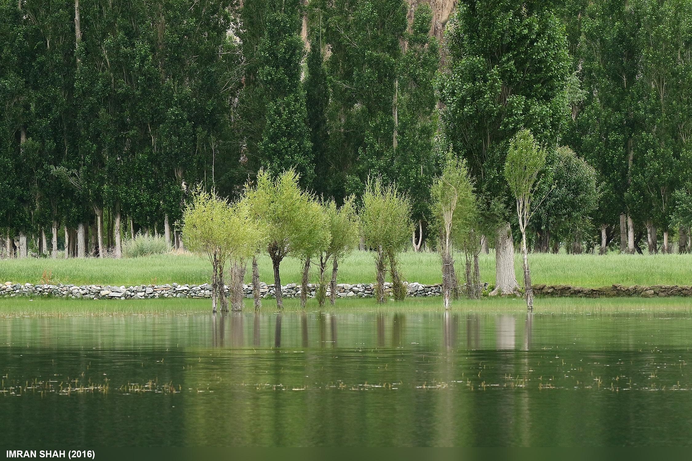
Phundar, Ghizer in Gilgit-Baltistan, Pakistan
Phundar Lake in Gilgit-Baltistan, Pakistan
Topographic Map of Phander Lake, Phander
Find elevation by address:

Places near Phander Lake, Phander:
Phander
Phandar Valley
Phander Valley
Golaghmuli
Hundarap
Barsat
Ambesh
Langar
Baha Chhat Lake
Shandur
Shandur Polo Ground
شندور
Mastuj Tehsil
Mastuj
Mahodand Lake
Mighty 22 Falls
Buni Zom
Gabrial
Kalam
Barigo
Recent Searches:
- Elevation of Corso Fratelli Cairoli, 35, Macerata MC, Italy
- Elevation of Tallevast Rd, Sarasota, FL, USA
- Elevation of 4th St E, Sonoma, CA, USA
- Elevation of Black Hollow Rd, Pennsdale, PA, USA
- Elevation of Oakland Ave, Williamsport, PA, USA
- Elevation of Pedrógão Grande, Portugal
- Elevation of Klee Dr, Martinsburg, WV, USA
- Elevation of Via Roma, Pieranica CR, Italy
- Elevation of Tavkvetili Mountain, Georgia
- Elevation of Hartfords Bluff Cir, Mt Pleasant, SC, USA