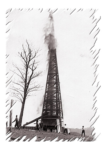
Elevation of Petroleum, WV, USA
Location: United States > West Virginia > Ritchie County > Grant >
Longitude: -81.268448
Latitude: 39.1909105
Elevation: 213m / 699feet
Barometric Pressure: 99KPa
Related Photos:
Topographic Map of Petroleum, WV, USA
Find elevation by address:

Places in Petroleum, WV, USA:
Places near Petroleum, WV, USA:
Racy Rd, Petroleum, WV, USA
Staunton Tpke, Petroleum, WV, USA
Walker
Laurel Run
Northeast
Elizabeth Pike, Mineral Wells, WV, USA
Wirt County
Tanner Ln, Walker, WV, USA
Palestine
Slate
Society Hill Rd, Mineral Wells, WV, USA
Mineral Wells
215 Woodridge Dr
204 Plantation Dr
28 Ballards Run Rd, Elizabeth, WV, USA
Buck Run Rd, Mineral Wells, WV, USA
1865 Black Diamond Rd
24 Science Hill Rd, Elizabeth, WV, USA
Rockport
Recent Searches:
- Elevation of Corso Fratelli Cairoli, 35, Macerata MC, Italy
- Elevation of Tallevast Rd, Sarasota, FL, USA
- Elevation of 4th St E, Sonoma, CA, USA
- Elevation of Black Hollow Rd, Pennsdale, PA, USA
- Elevation of Oakland Ave, Williamsport, PA, USA
- Elevation of Pedrógão Grande, Portugal
- Elevation of Klee Dr, Martinsburg, WV, USA
- Elevation of Via Roma, Pieranica CR, Italy
- Elevation of Tavkvetili Mountain, Georgia
- Elevation of Hartfords Bluff Cir, Mt Pleasant, SC, USA

