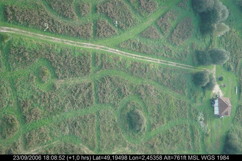
Elevation of Persan, France
Location: France > Île-de-france > Val-d'oise >
Longitude: 2.269571
Latitude: 49.152233
Elevation: 69m / 226feet
Barometric Pressure: 100KPa
Related Photos:
Topographic Map of Persan, France
Find elevation by address:

Places near Persan, France:
Asnières-sur-oise
Bouffémont
15 Allée des Érables, Bouffémont, France
Boulevard Du Midi
Auvers-sur-oise
1 Rue De L'ecce Homo
23 Rue des Marais, Asnières-sur-Oise, France
Taverny
Rue de Paris, Taverny, France
7 Rue De L'eauriette
2 Rue De Vaucelles
Domont
Saint-leu-la-forêt
4 Rue René Echavidre
Gare De Domont
Val-d'oise
Andilly
2 Chemin de la Croix de l'Evangile, Andilly, France
17 Rue Des Patis
14 Hameau des Feuilles Mortes, Taverny, France
Recent Searches:
- Elevation of Corso Fratelli Cairoli, 35, Macerata MC, Italy
- Elevation of Tallevast Rd, Sarasota, FL, USA
- Elevation of 4th St E, Sonoma, CA, USA
- Elevation of Black Hollow Rd, Pennsdale, PA, USA
- Elevation of Oakland Ave, Williamsport, PA, USA
- Elevation of Pedrógão Grande, Portugal
- Elevation of Klee Dr, Martinsburg, WV, USA
- Elevation of Via Roma, Pieranica CR, Italy
- Elevation of Tavkvetili Mountain, Georgia
- Elevation of Hartfords Bluff Cir, Mt Pleasant, SC, USA


