Elevation of Pennsylvania Ave, Elmira, NY, USA
Location: United States > New York > Chemung County > Elmira >
Longitude: -76.818517
Latitude: 42.055518
Elevation: 271m / 889feet
Barometric Pressure: 98KPa
Elevation Map:
Satellite Map:
Related Photos:
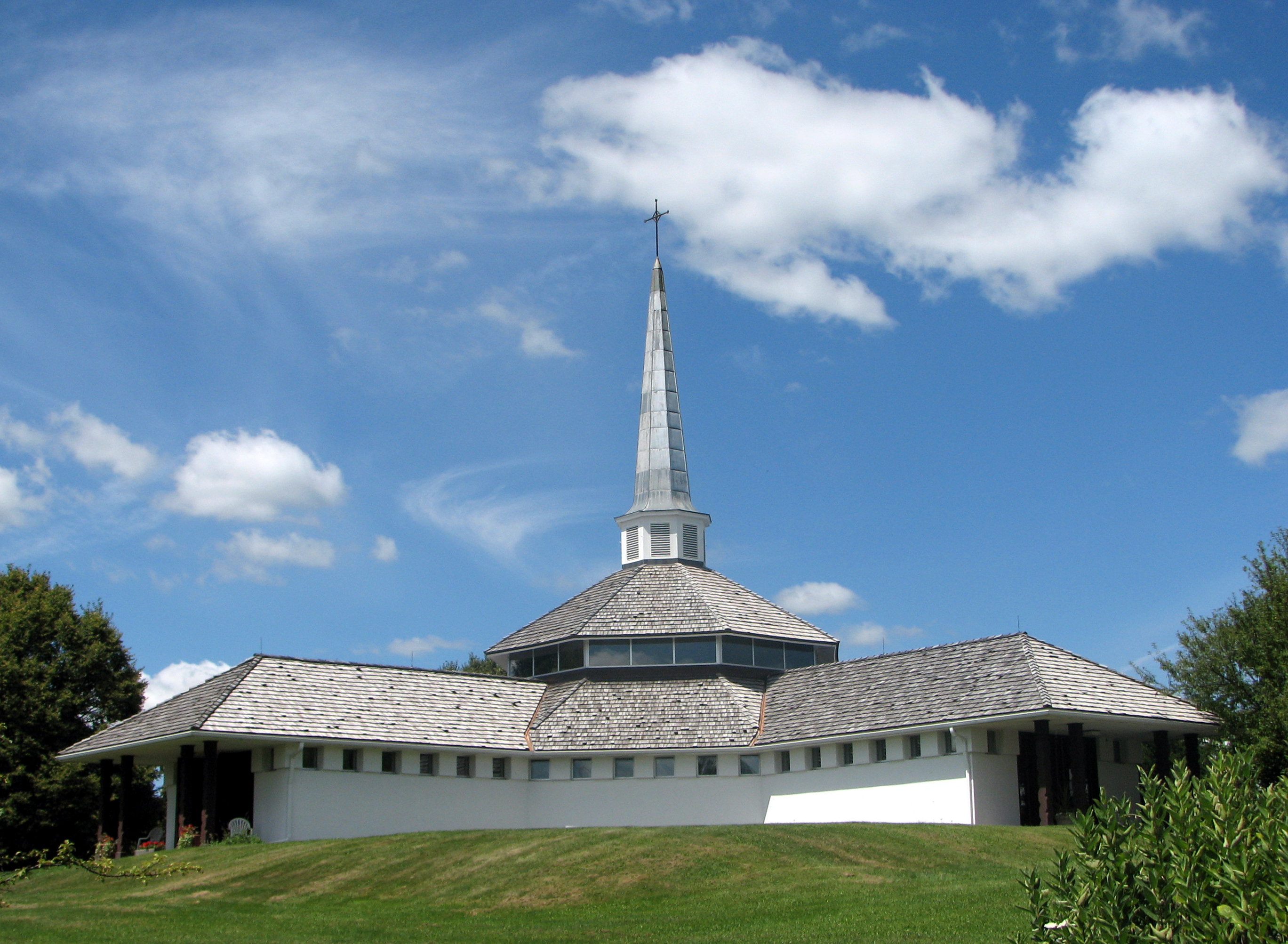
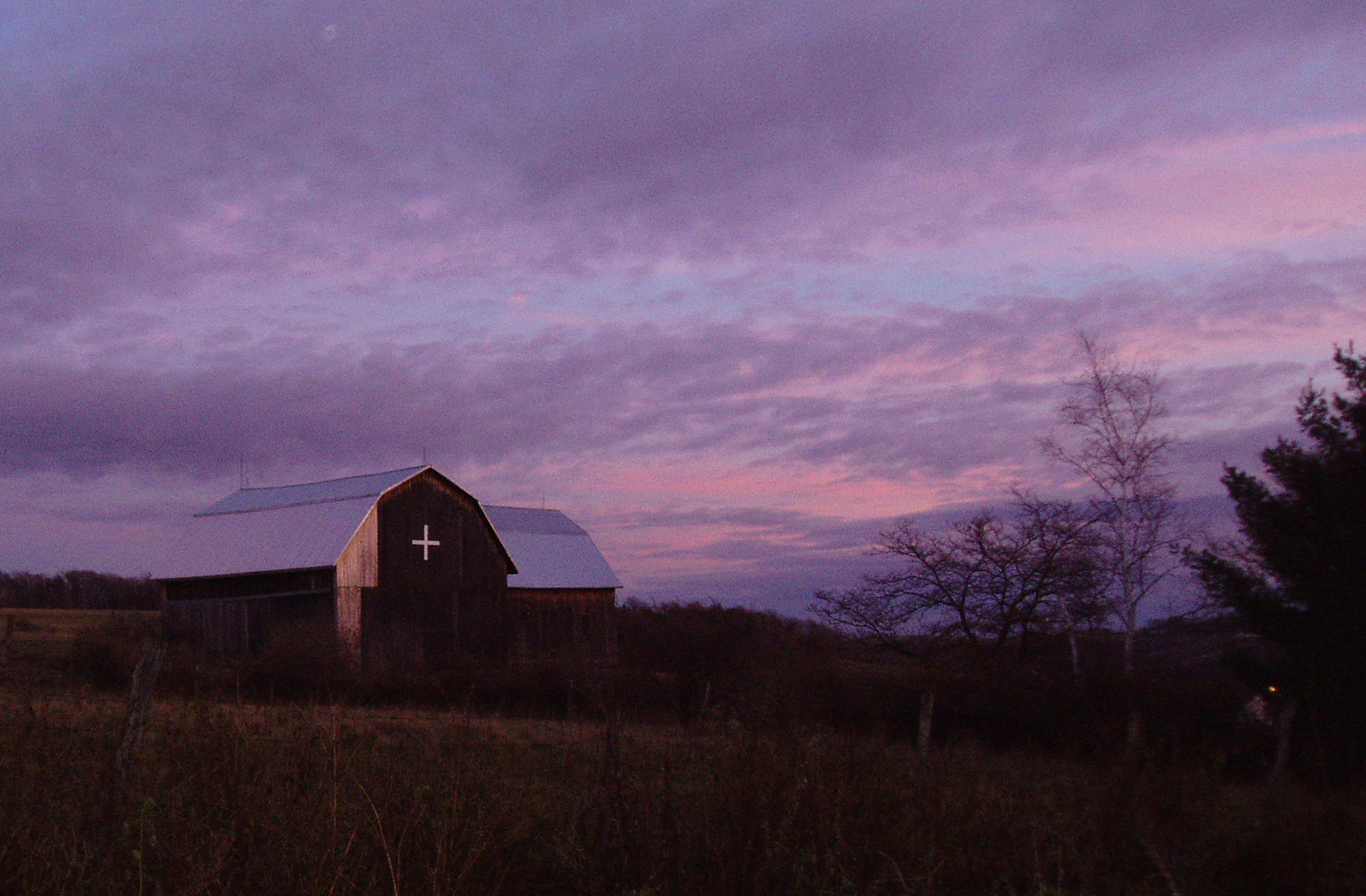
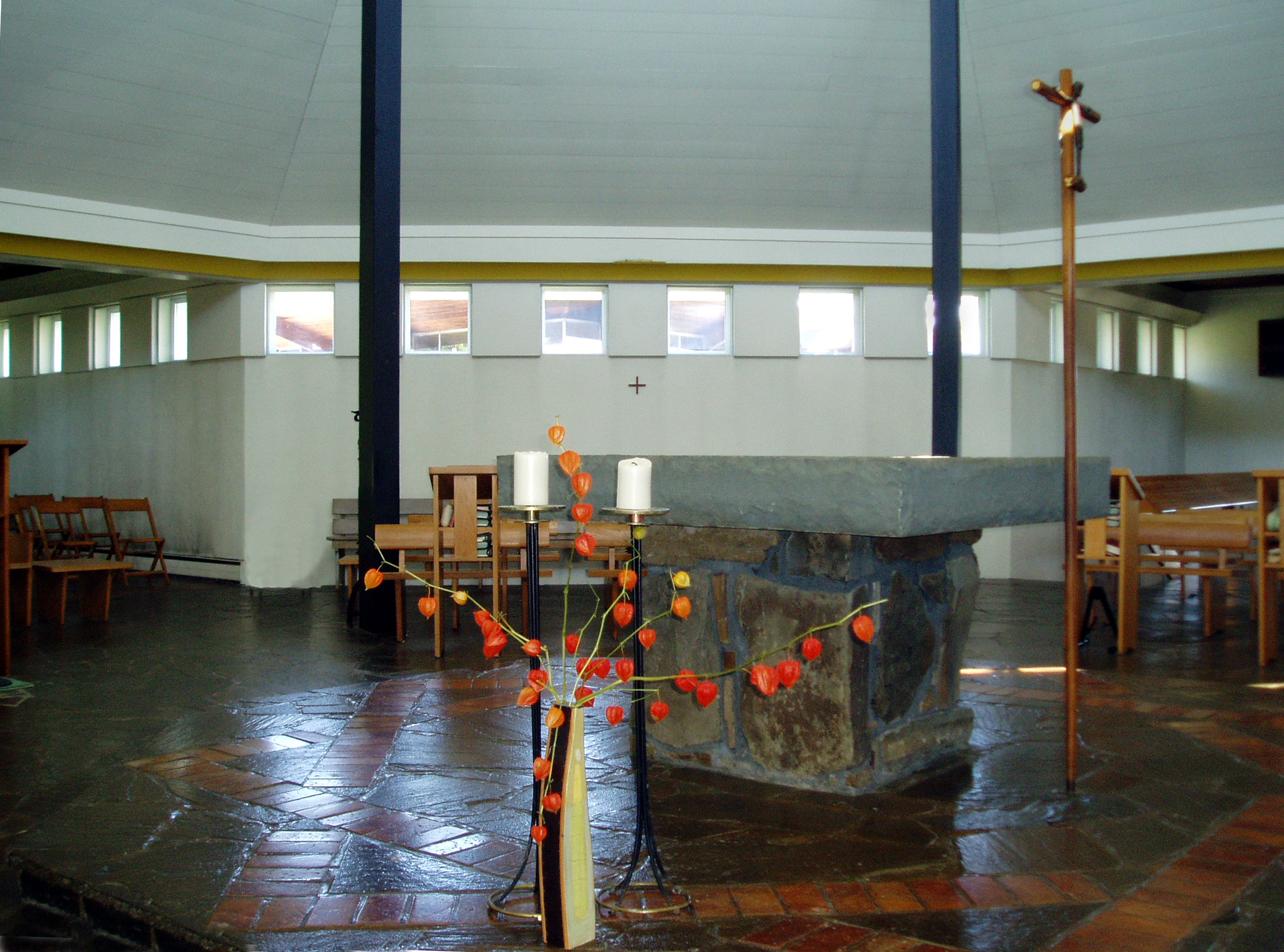
Mount Saviour Chapel
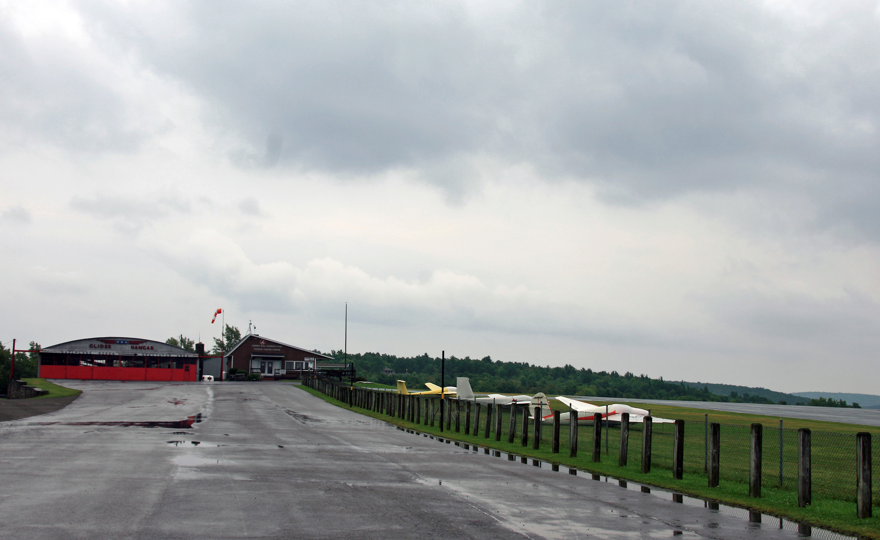
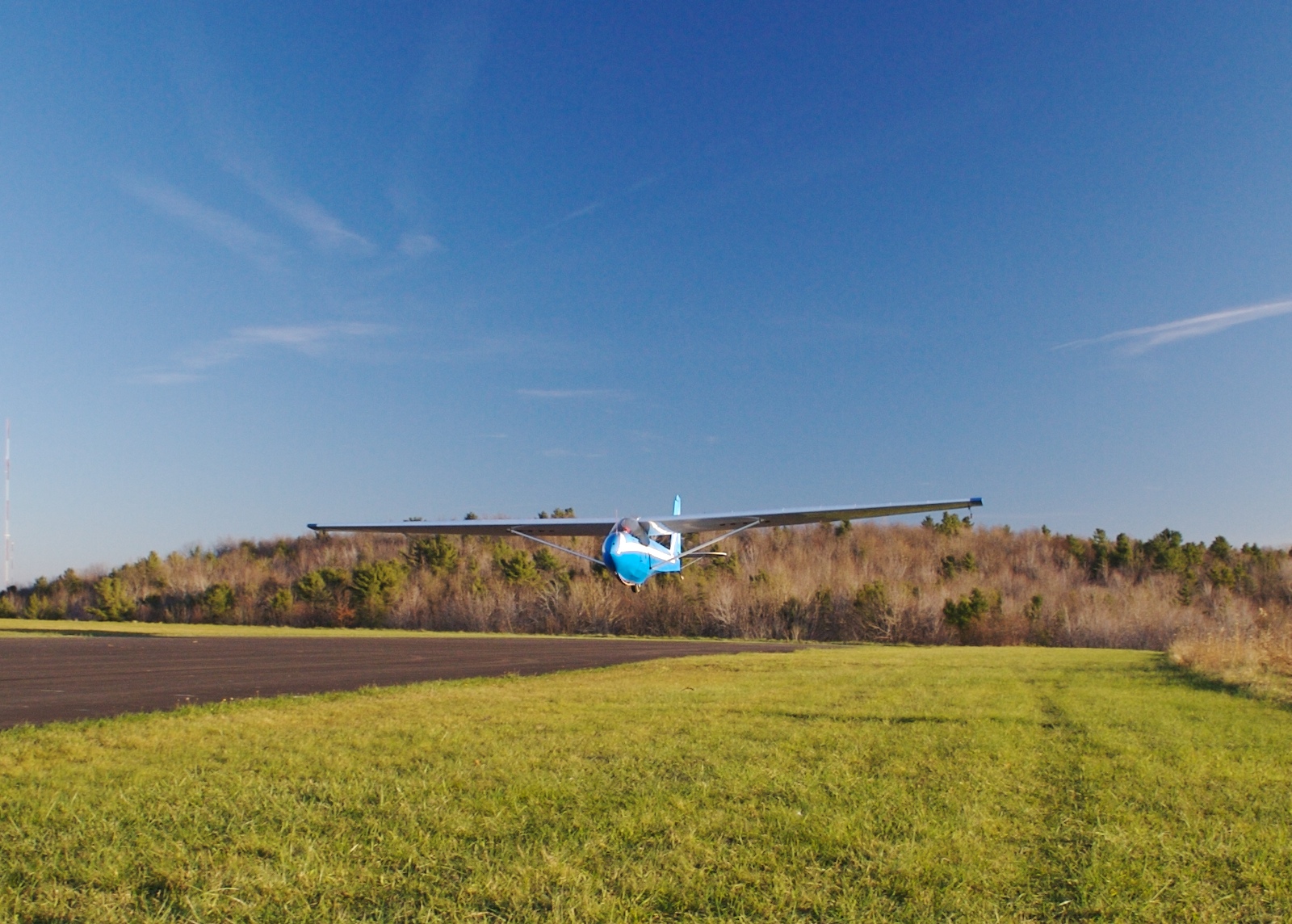
Elmira, NY - Harris Hill Gliderport (4NY8) Apron
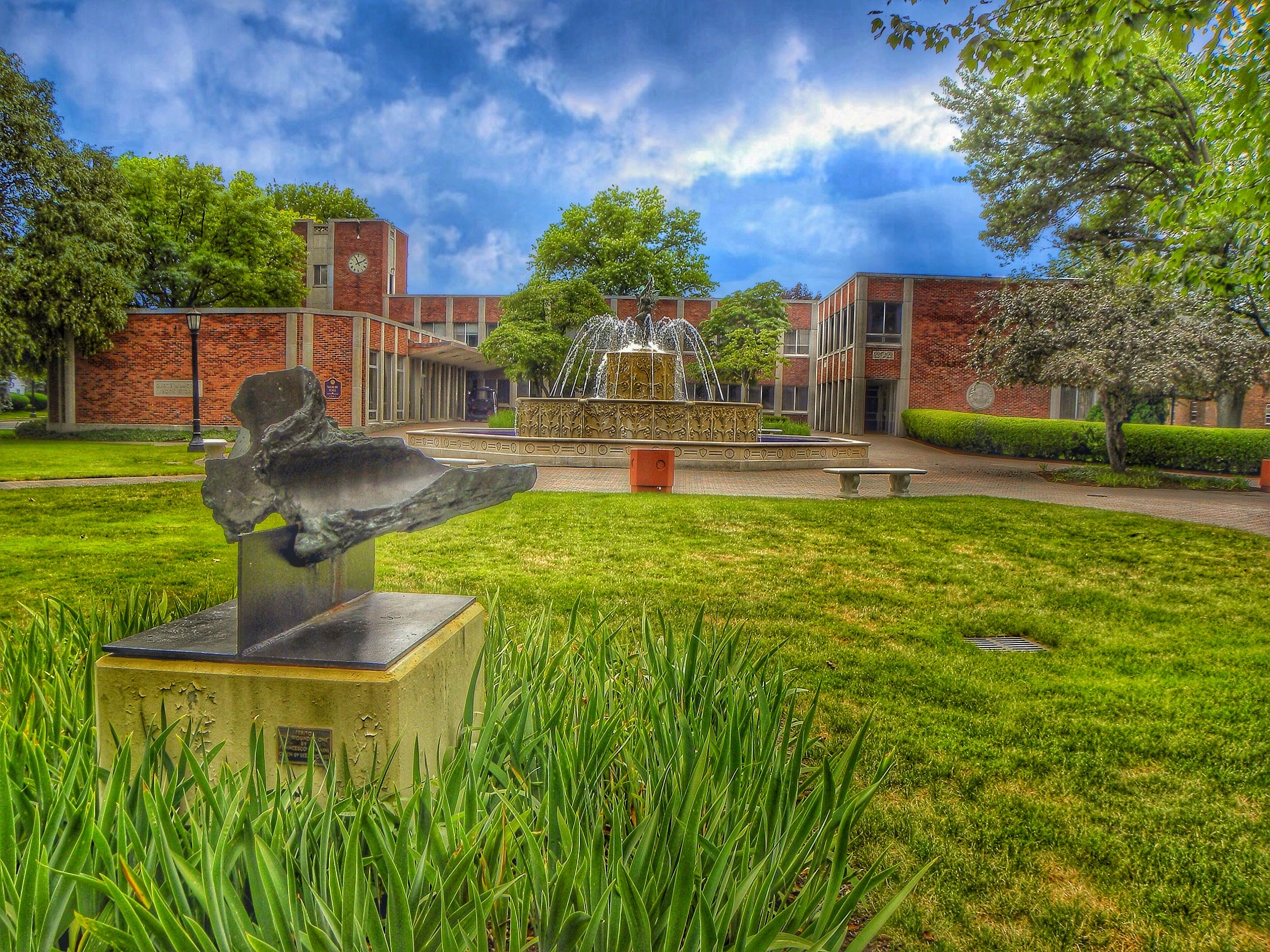
Elmira Ny ~ Elmira College ~ McGraw Hall College Administrative Building and Fountain with Sculpture
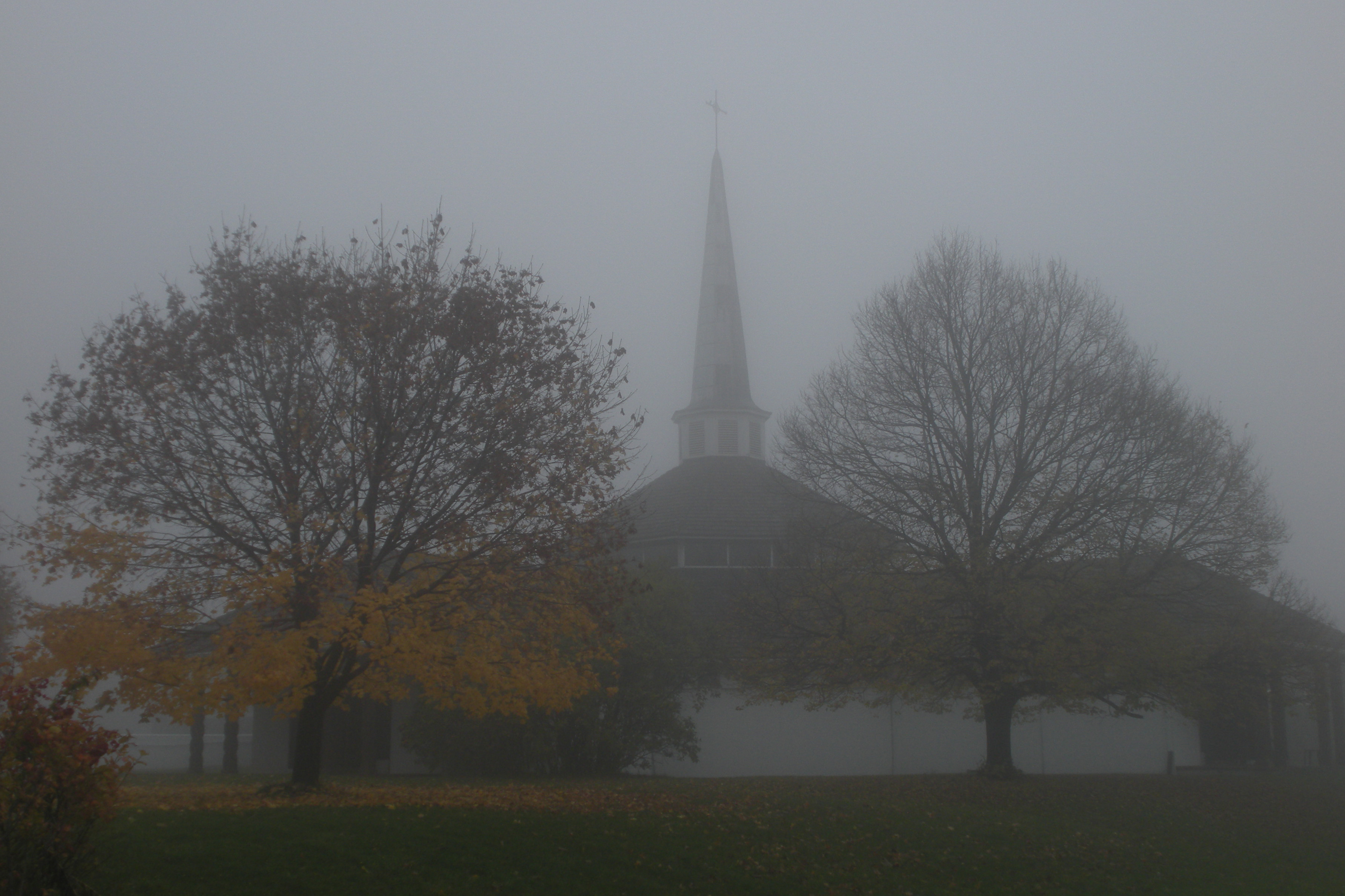
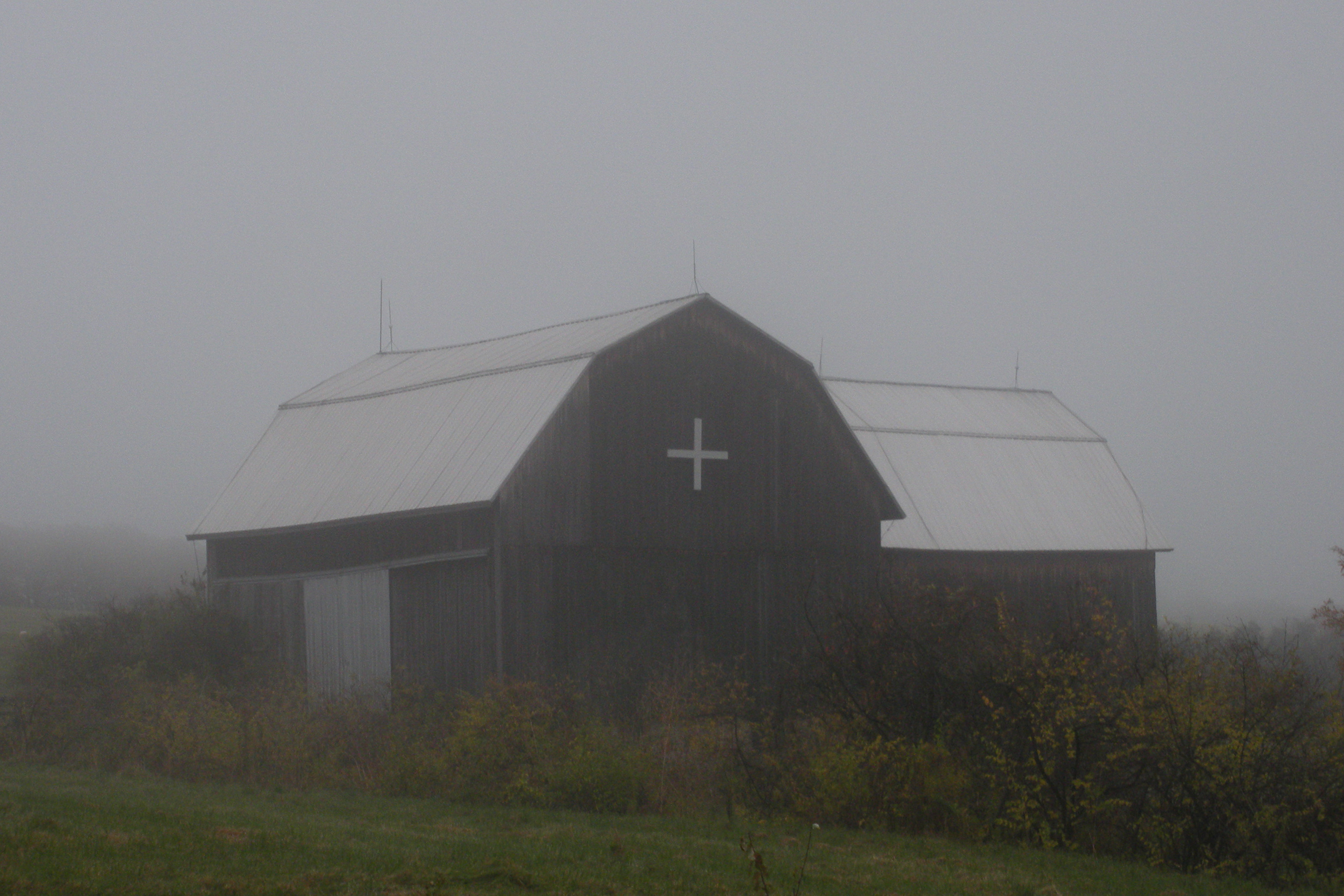
Mount Saviour Chapel in Fog
Monastery Barn

The Risen Christ

Reaching for a Leaden Sky
St. Peter's Barn in Fog
From Here to Eternity
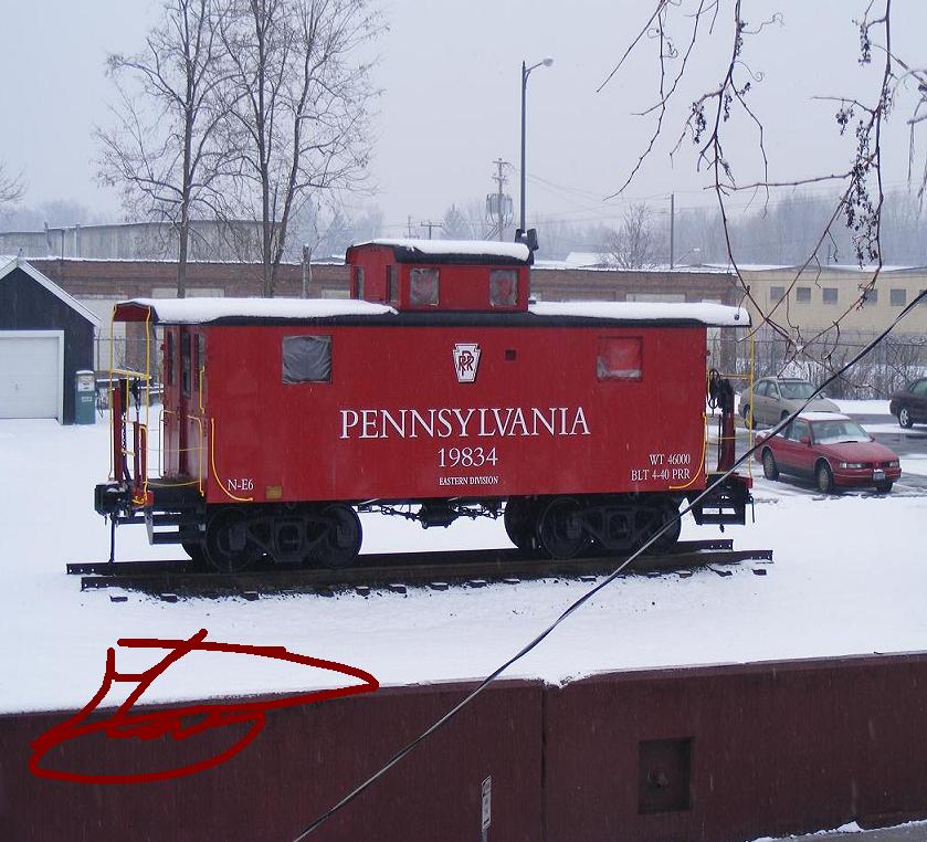
PRR caboose close up
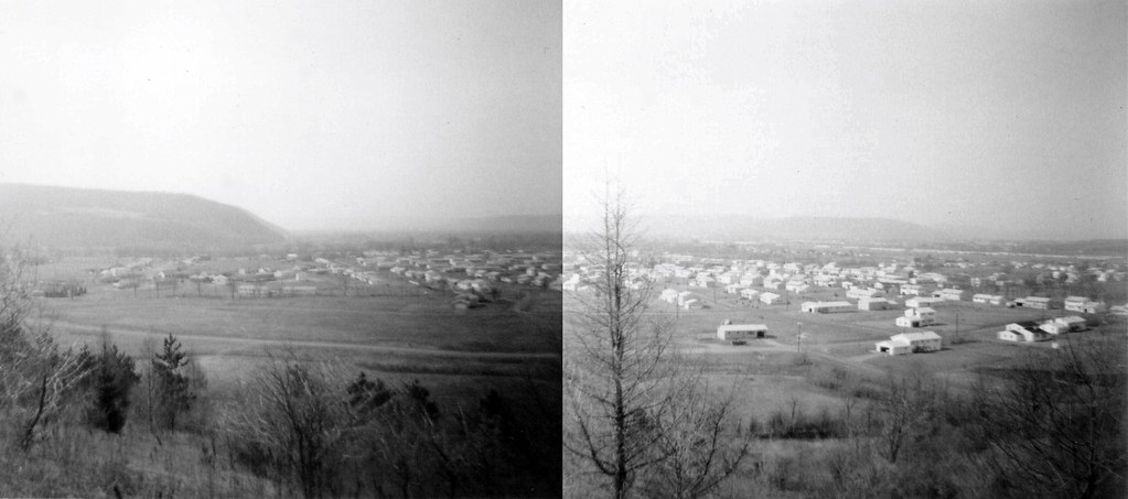
Horseheads Neighborhood c. 1975

End of the Day
...
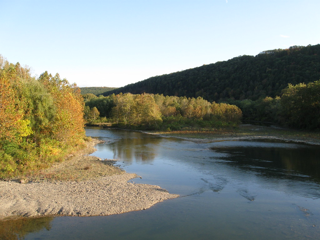
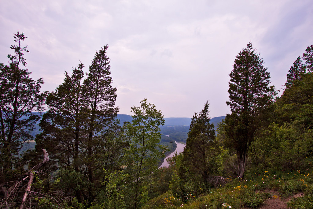
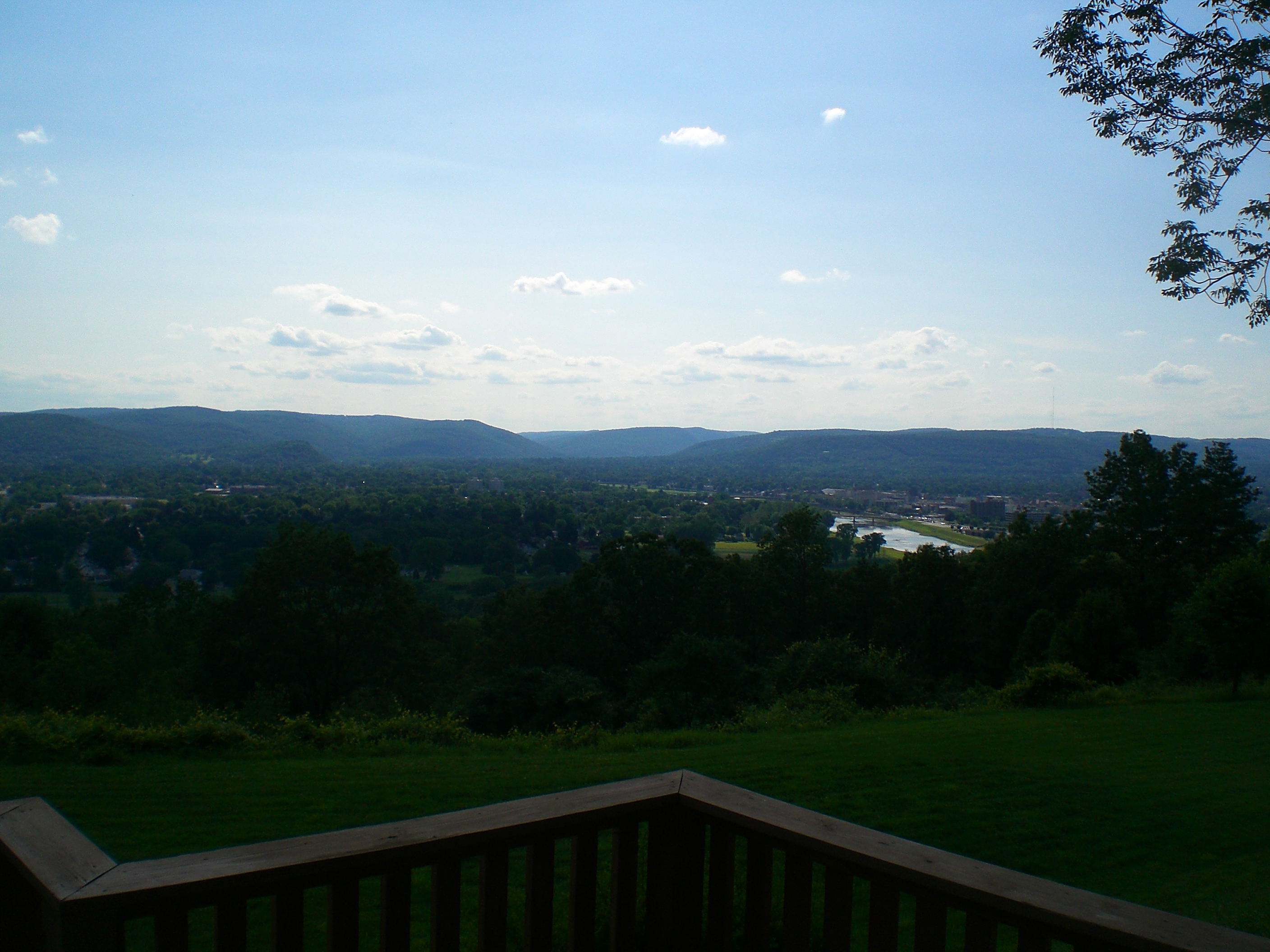
Chemung River
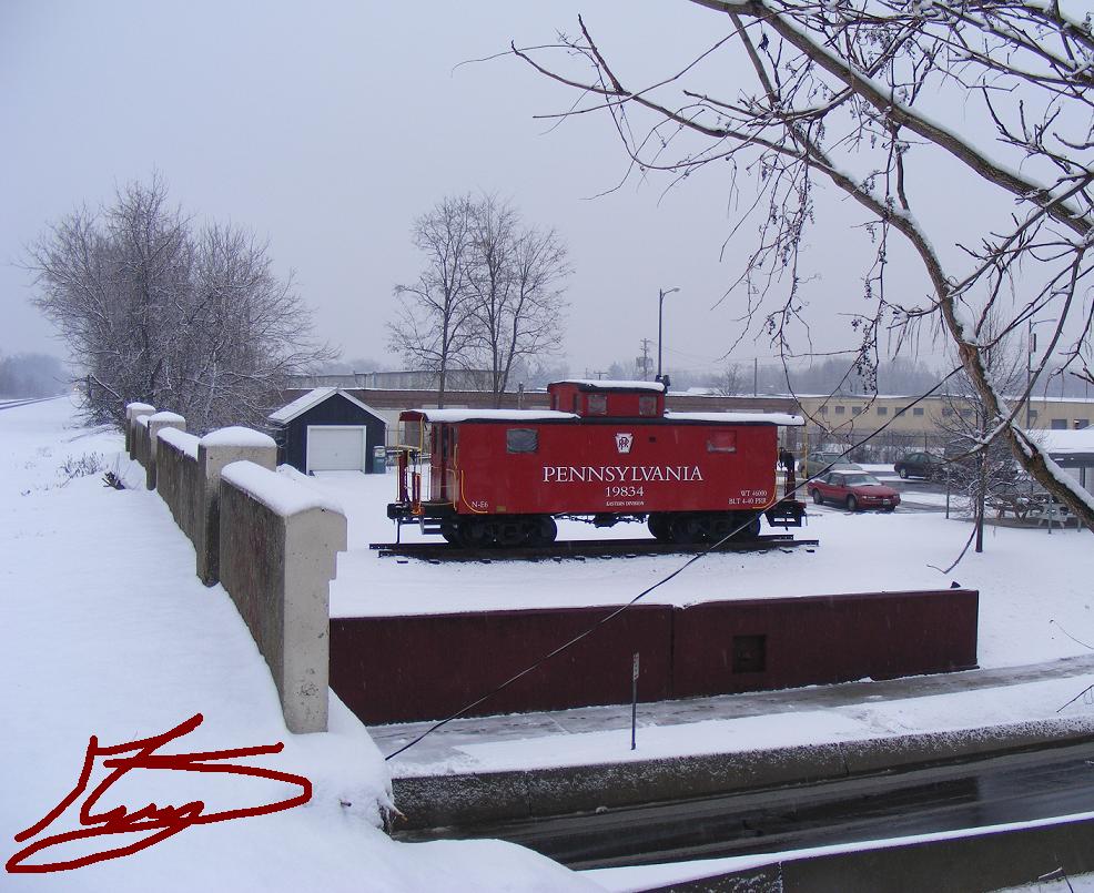
PRR caboose away
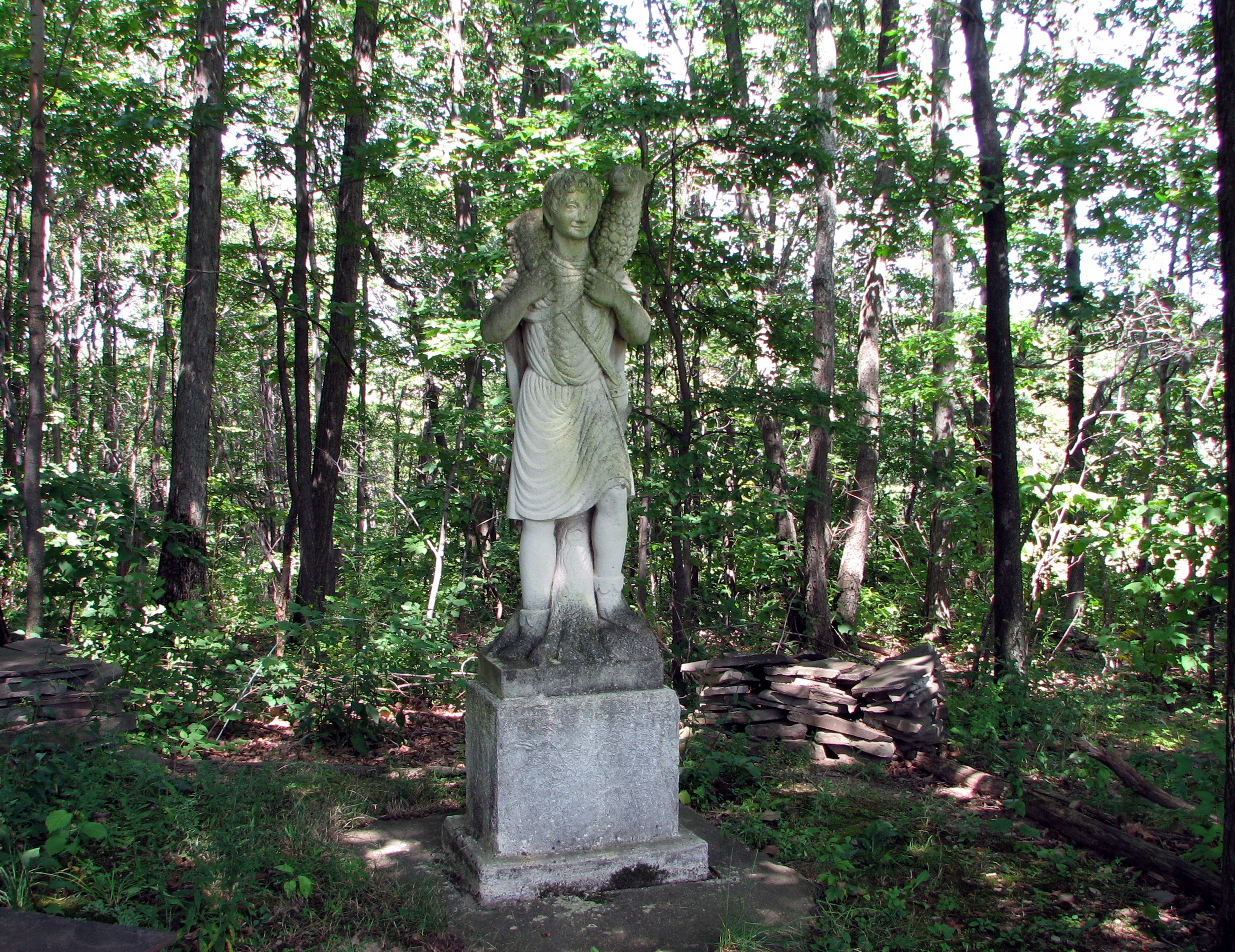
The Good Shepherd
April 21, 2014

...
Mount Saviour
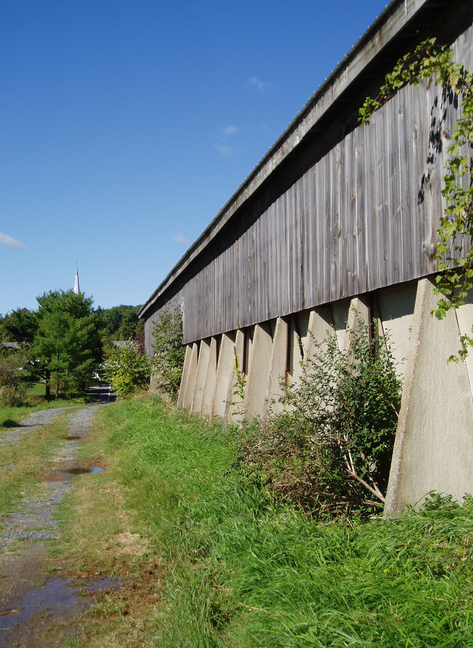
Monks' Barn
Monastic chapel
Ain't Worried About Tomorrow

Elmira, NY Pano

Good Morning New Year
Eldridge Sunset
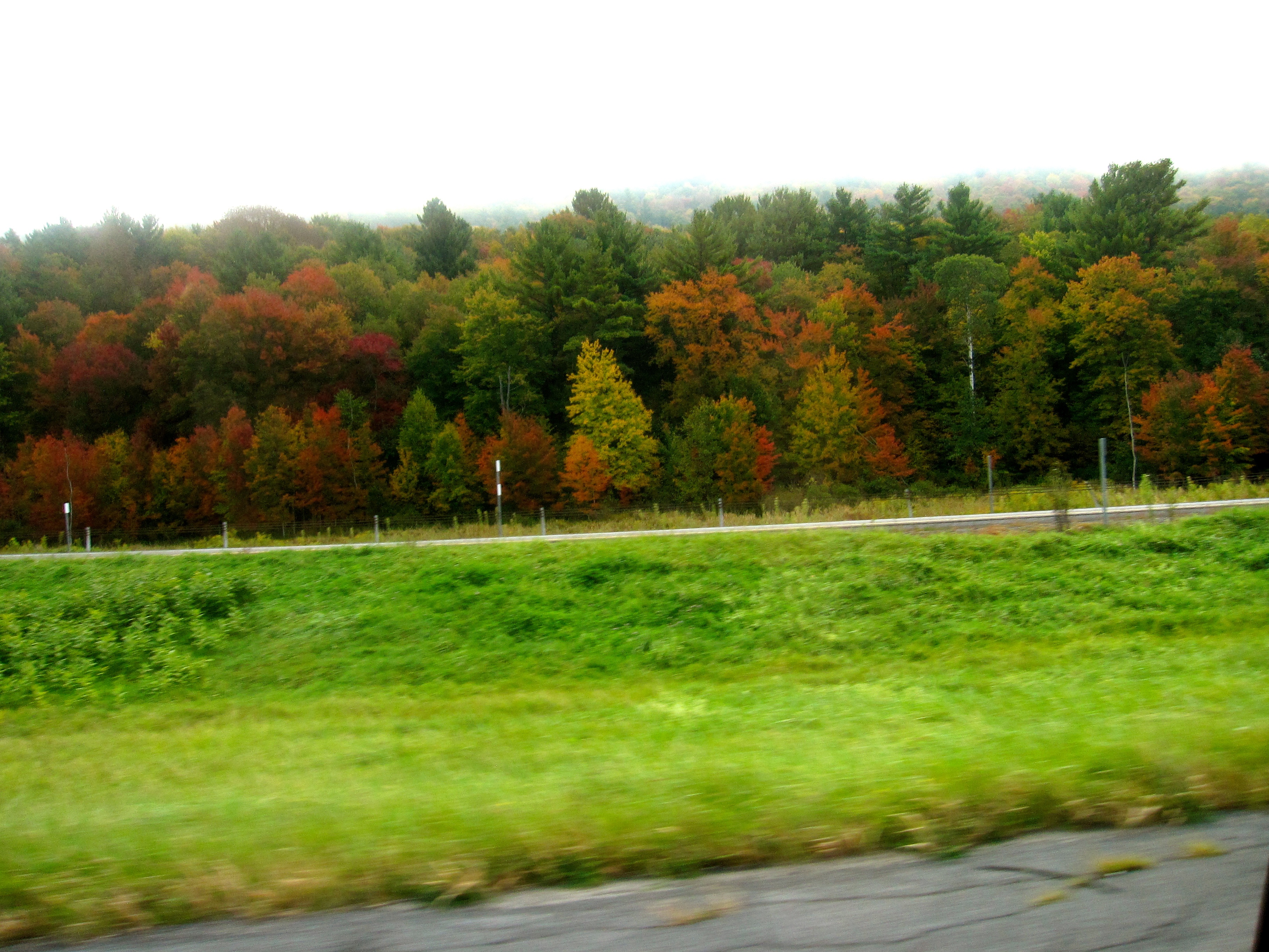
New York Autumn
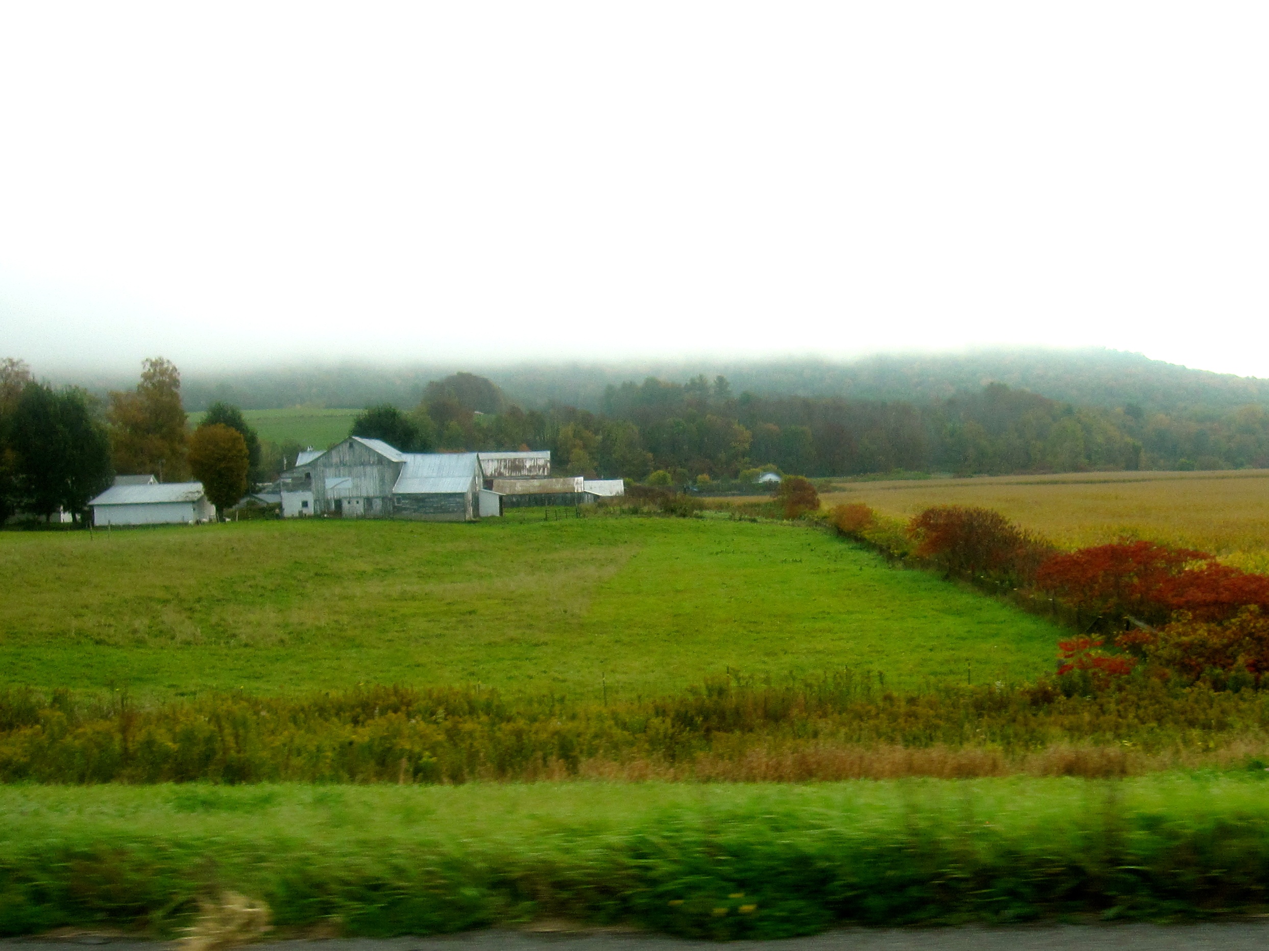
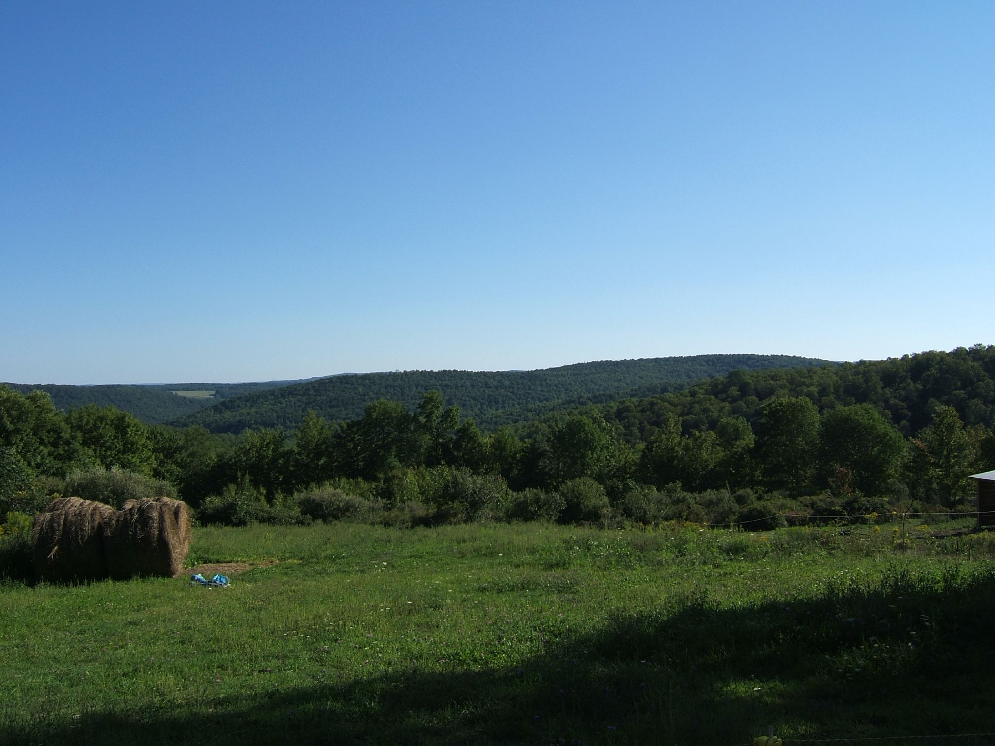
Southern New York
Flare!
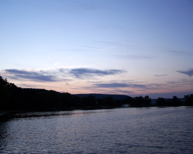
eldridge sunset

Day 74 - This is exactly where I needed to be today. #100happydays
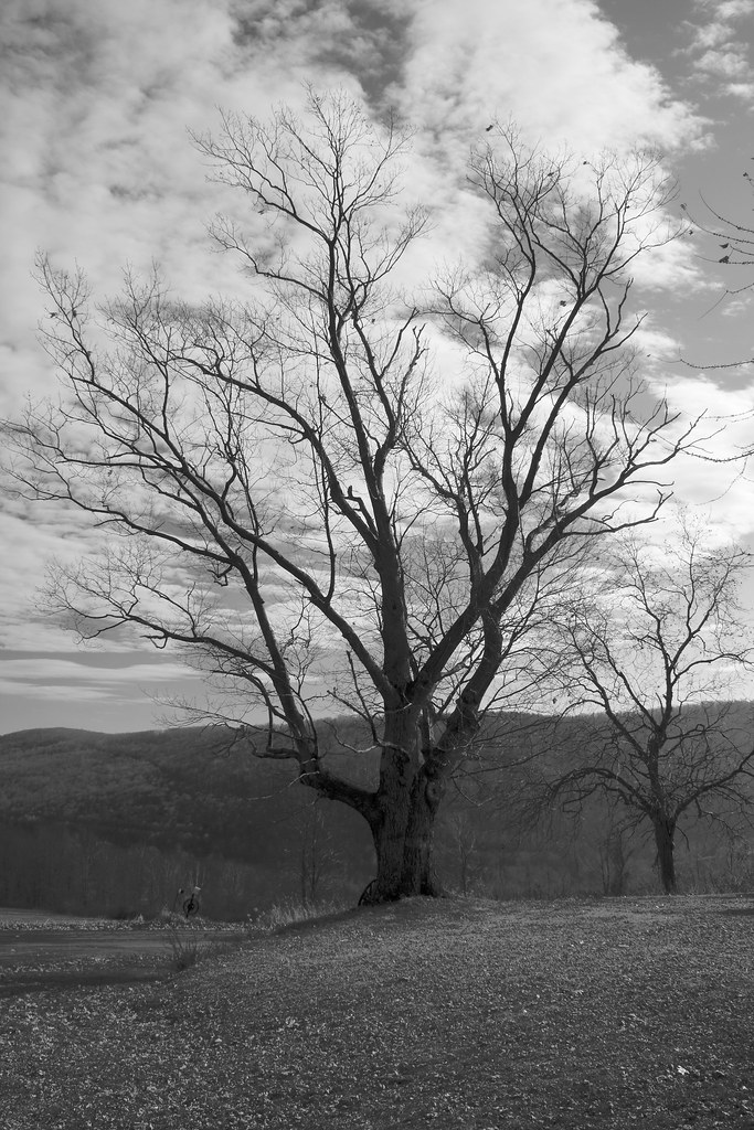
Tree-BW

DSCF3026.JPG
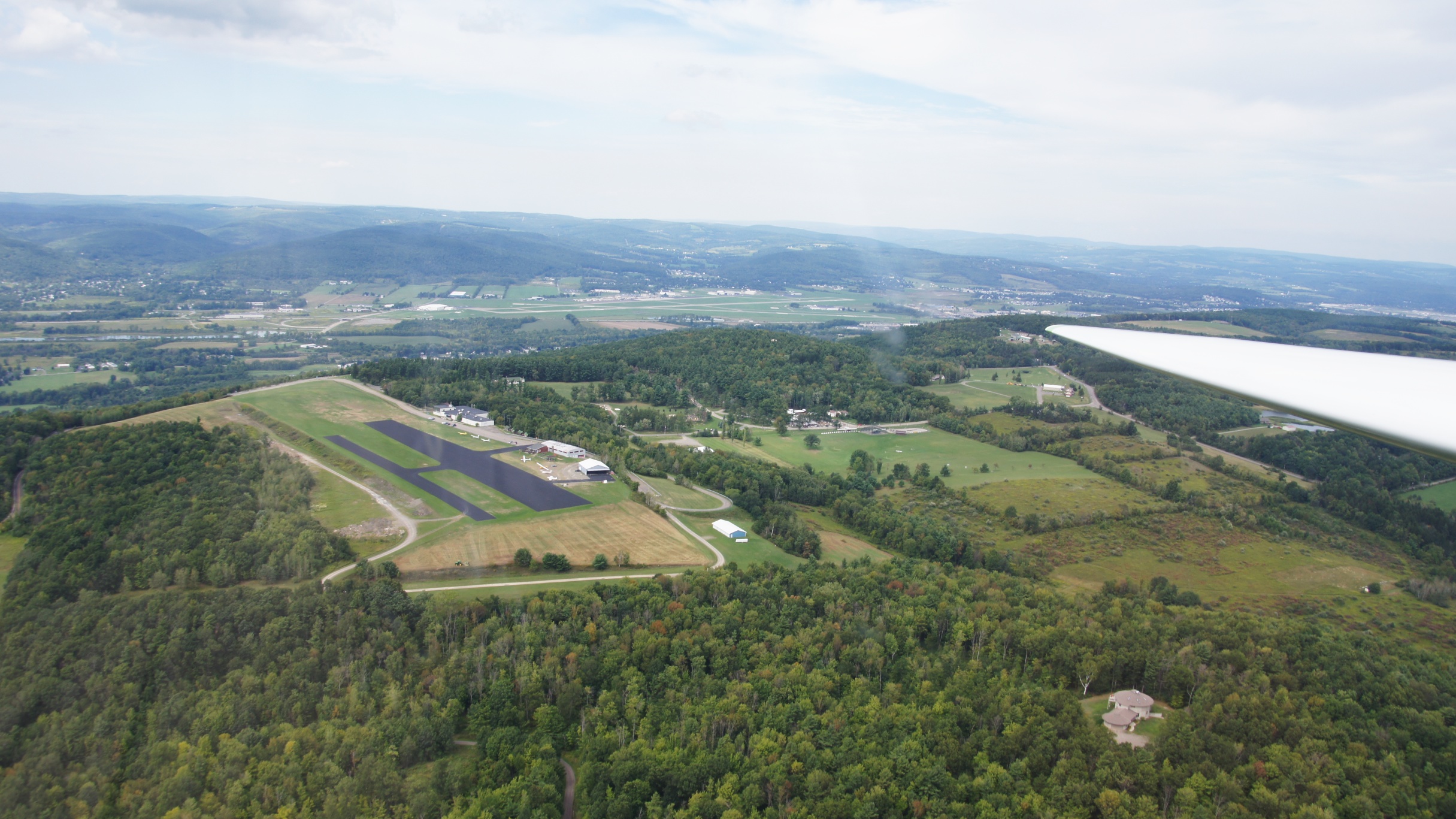
Soaring above Harris Hill Soaring Center

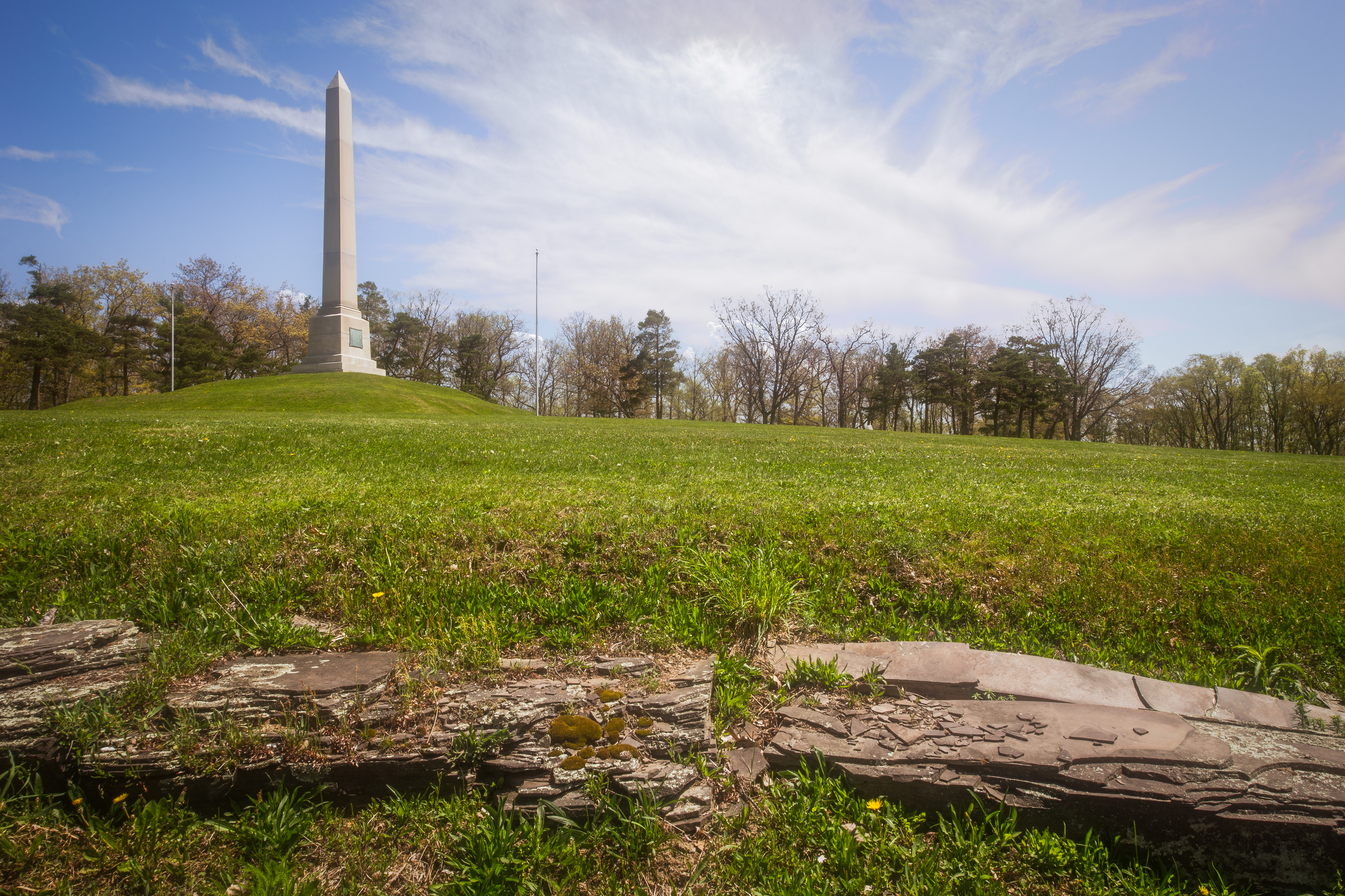
Hilltop Cemetery

Mount Savior Monastery, Pine City, New York
JoesParty-05
DSCF3027.JPG
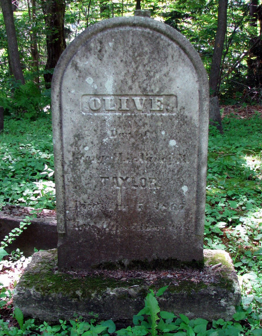
Taylor, Olive
The view

...
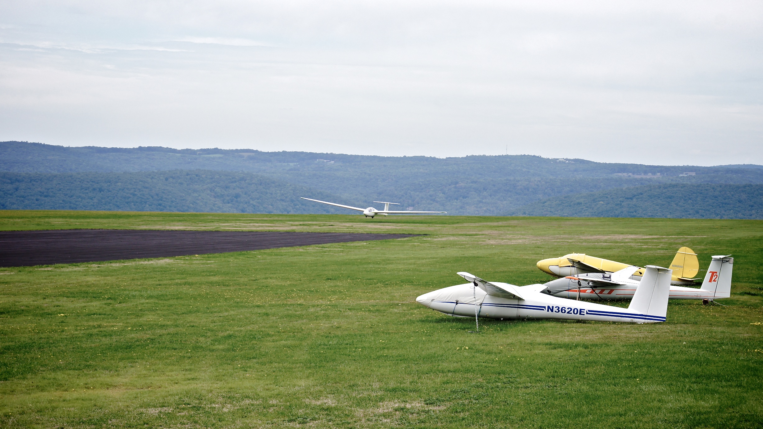
Harris Hill Soaring Center
Topographic Map of Pennsylvania Ave, Elmira, NY, USA
Find elevation by address:

Places near Pennsylvania Ave, Elmira, NY, USA:
Southport
1004 Smith St
Bennett Street
Medina Street
5 Hillside Dr
97 Crestview Dr W
551 Beecher St
940 W Hudson St
640 W Hudson St
48 Sunnyside Dr
117 Walnut St
416 W Water St
407 Elm St
122 N Main St
West Elmira
W Water St, Elmira, NY, USA
Elmira
John R. Mcglenn
Elmira, NY, USA
1600 Maple Ave
Recent Searches:
- Elevation of Corso Fratelli Cairoli, 35, Macerata MC, Italy
- Elevation of Tallevast Rd, Sarasota, FL, USA
- Elevation of 4th St E, Sonoma, CA, USA
- Elevation of Black Hollow Rd, Pennsdale, PA, USA
- Elevation of Oakland Ave, Williamsport, PA, USA
- Elevation of Pedrógão Grande, Portugal
- Elevation of Klee Dr, Martinsburg, WV, USA
- Elevation of Via Roma, Pieranica CR, Italy
- Elevation of Tavkvetili Mountain, Georgia
- Elevation of Hartfords Bluff Cir, Mt Pleasant, SC, USA