Elevation of Peninsular Ranges, Baja California, Mexico
Location: Mexico > Baja California > Ensenada >
Longitude: -114.717
Latitude: 29.95
Elevation: 715m / 2346feet
Barometric Pressure: 93KPa
Elevation Map:
Satellite Map:
Related Photos:
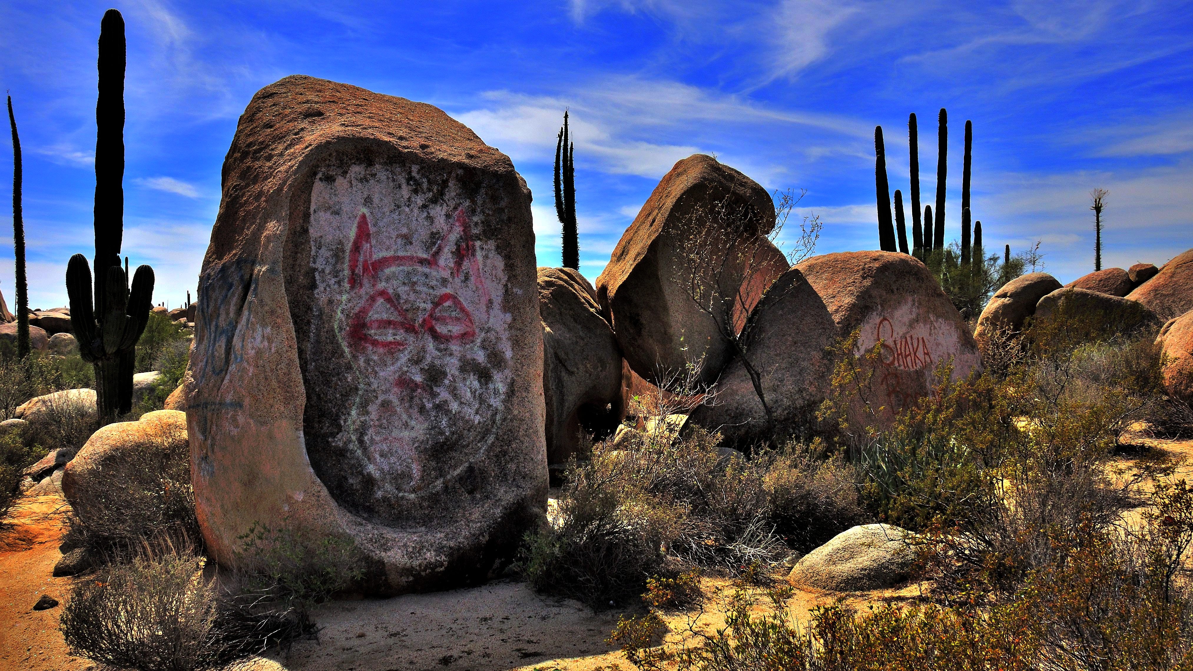
Cat on the rock
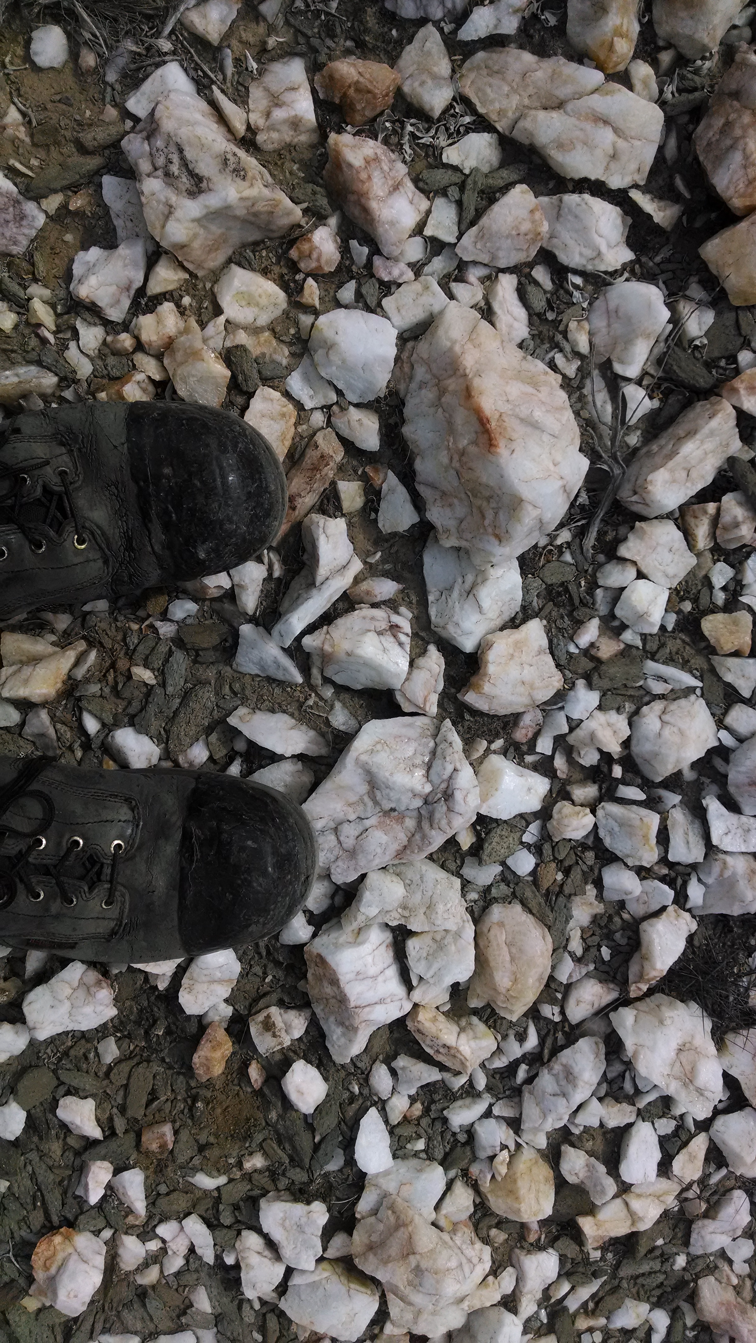
quartz desert pavement

ghost town of el marmol, onyx mine
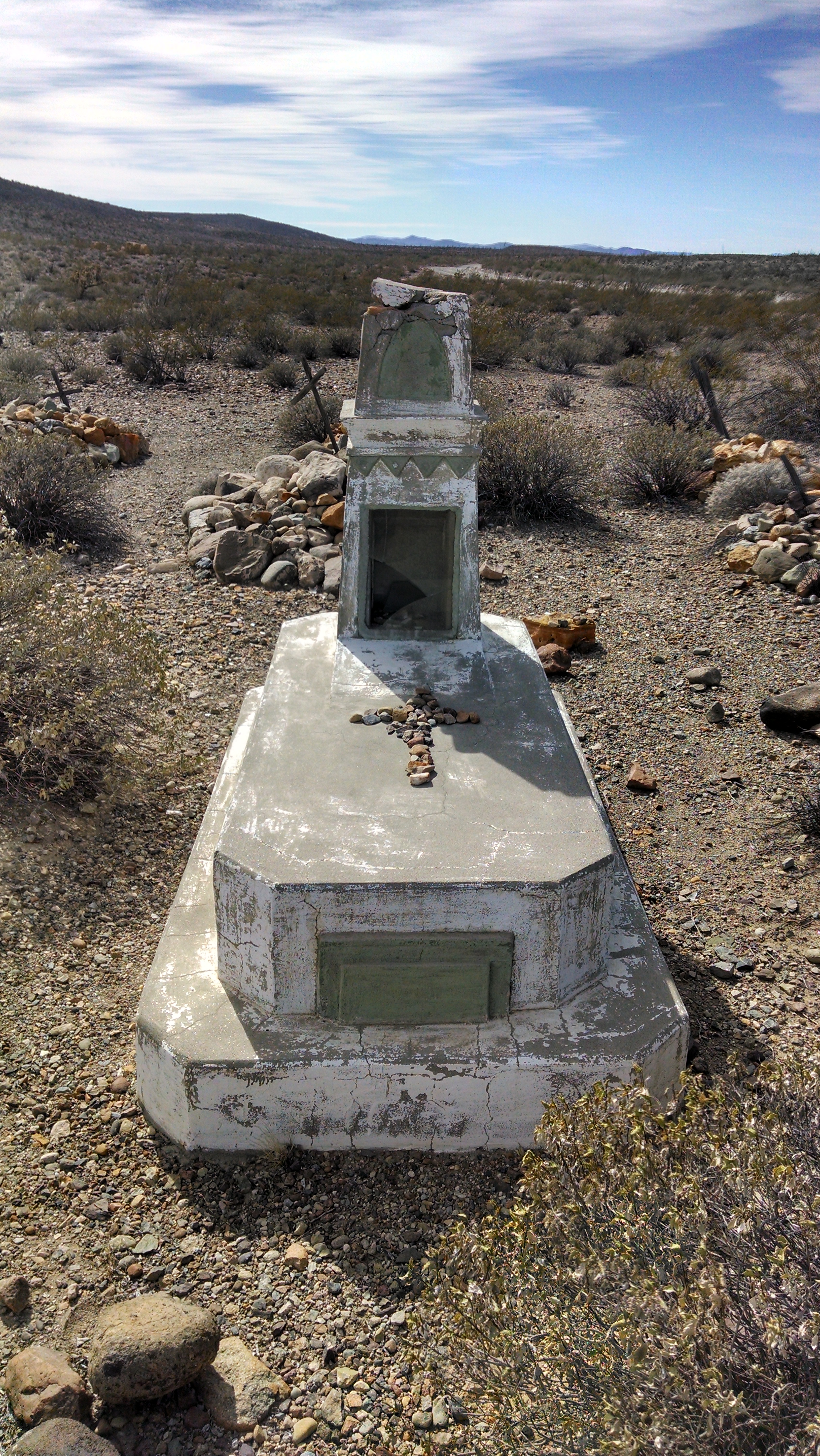
cemetery near El Marmol, the abandoned onyx mine
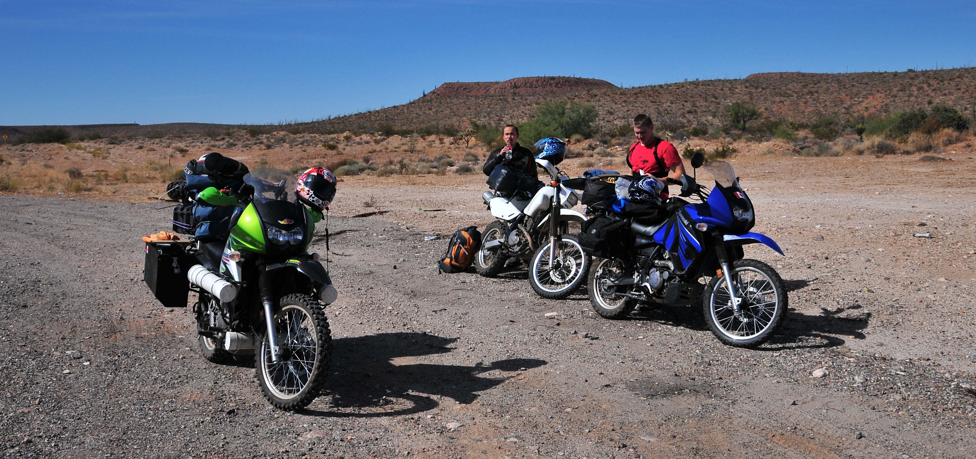
KLR 650 Bike Trip Mexico 32
IMG_0489.JPG
IMG_0488.JPG
Topographic Map of Peninsular Ranges, Baja California, Mexico
Find elevation by address:

Places near Peninsular Ranges, Baja California, Mexico:
Recent Searches:
- Elevation of Corso Fratelli Cairoli, 35, Macerata MC, Italy
- Elevation of Tallevast Rd, Sarasota, FL, USA
- Elevation of 4th St E, Sonoma, CA, USA
- Elevation of Black Hollow Rd, Pennsdale, PA, USA
- Elevation of Oakland Ave, Williamsport, PA, USA
- Elevation of Pedrógão Grande, Portugal
- Elevation of Klee Dr, Martinsburg, WV, USA
- Elevation of Via Roma, Pieranica CR, Italy
- Elevation of Tavkvetili Mountain, Georgia
- Elevation of Hartfords Bluff Cir, Mt Pleasant, SC, USA