Elevation of Pena Trevinca, Province of Ourense, Spain
Location: Spain > Galicia > Province Of Ourense > Valdeorras > A Veiga >
Longitude: -6.7960662
Latitude: 42.2423672
Elevation: 1628m / 5341feet
Barometric Pressure: 83KPa
Elevation Map:
Satellite Map:
Related Photos:
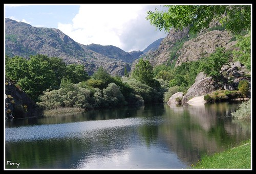
Antes de una explicación
Topographic Map of Pena Trevinca, Province of Ourense, Spain
Find elevation by address:

Places near Pena Trevinca, Province of Ourense, Spain:
1d
Aldea Casaio, 68, Ourense, Spain
Lugar Puente, 63, Ponte, Ourense, Spain
Ponte
Carballeda De Valdeorras
A Veiga
229a
21a
San Pedro De Trones
142a
Puente De Domingo Flórez
2a
Puente De Domingo Flórez
Lugar Candeda, 22, Candeda, Ourense, Spain
Candeda
Valdeorras
A Veiga
O Barco De Valdeorras
8a
Castrillo De Cabrera
Recent Searches:
- Elevation of Corso Fratelli Cairoli, 35, Macerata MC, Italy
- Elevation of Tallevast Rd, Sarasota, FL, USA
- Elevation of 4th St E, Sonoma, CA, USA
- Elevation of Black Hollow Rd, Pennsdale, PA, USA
- Elevation of Oakland Ave, Williamsport, PA, USA
- Elevation of Pedrógão Grande, Portugal
- Elevation of Klee Dr, Martinsburg, WV, USA
- Elevation of Via Roma, Pieranica CR, Italy
- Elevation of Tavkvetili Mountain, Georgia
- Elevation of Hartfords Bluff Cir, Mt Pleasant, SC, USA