Elevation of Pembroke Rd, Riversdale, NS B6L 2M6, Canada
Location: Canada > Nova Scotia > Colchester County > Colchester, Subd. C > Riversdale >
Longitude: -63.042911
Latitude: 45.423013
Elevation: 122m / 400feet
Barometric Pressure: 100KPa
Elevation Map:
Satellite Map:
Related Photos:
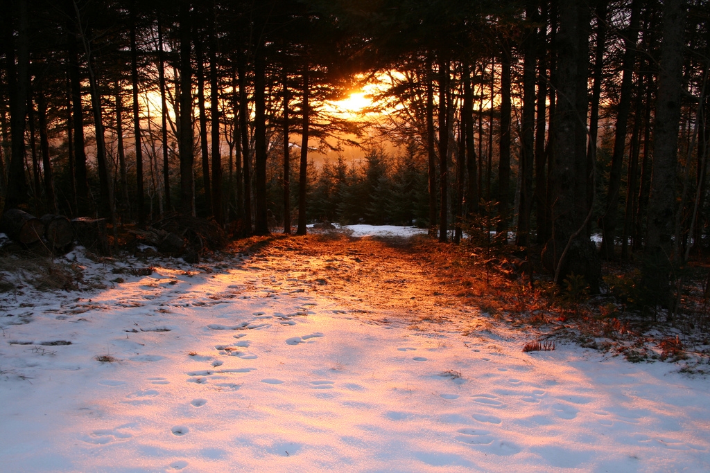
Sunrise at Mt.Thom

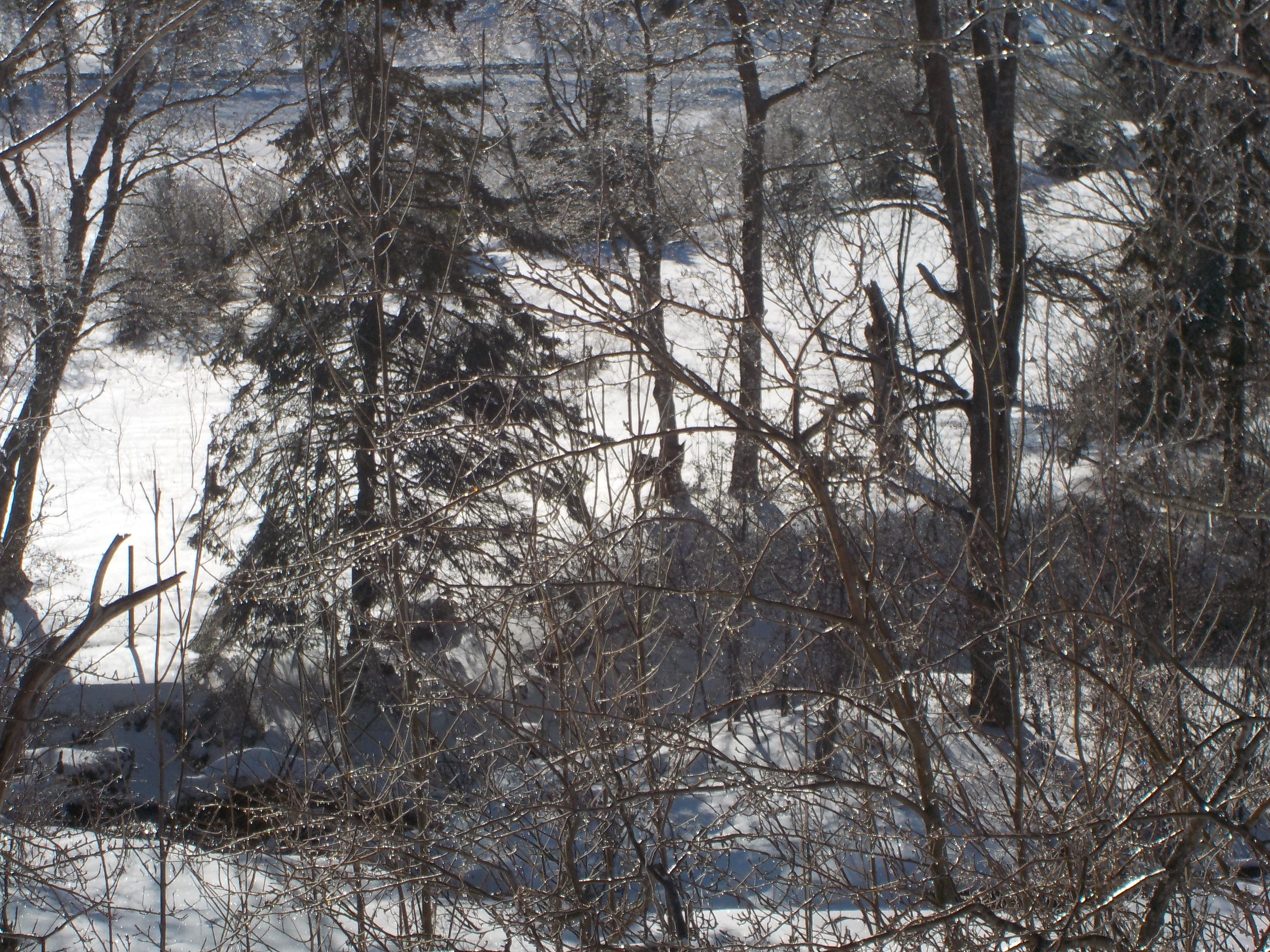
View From Mt. Thom

Windfarm Panorama1
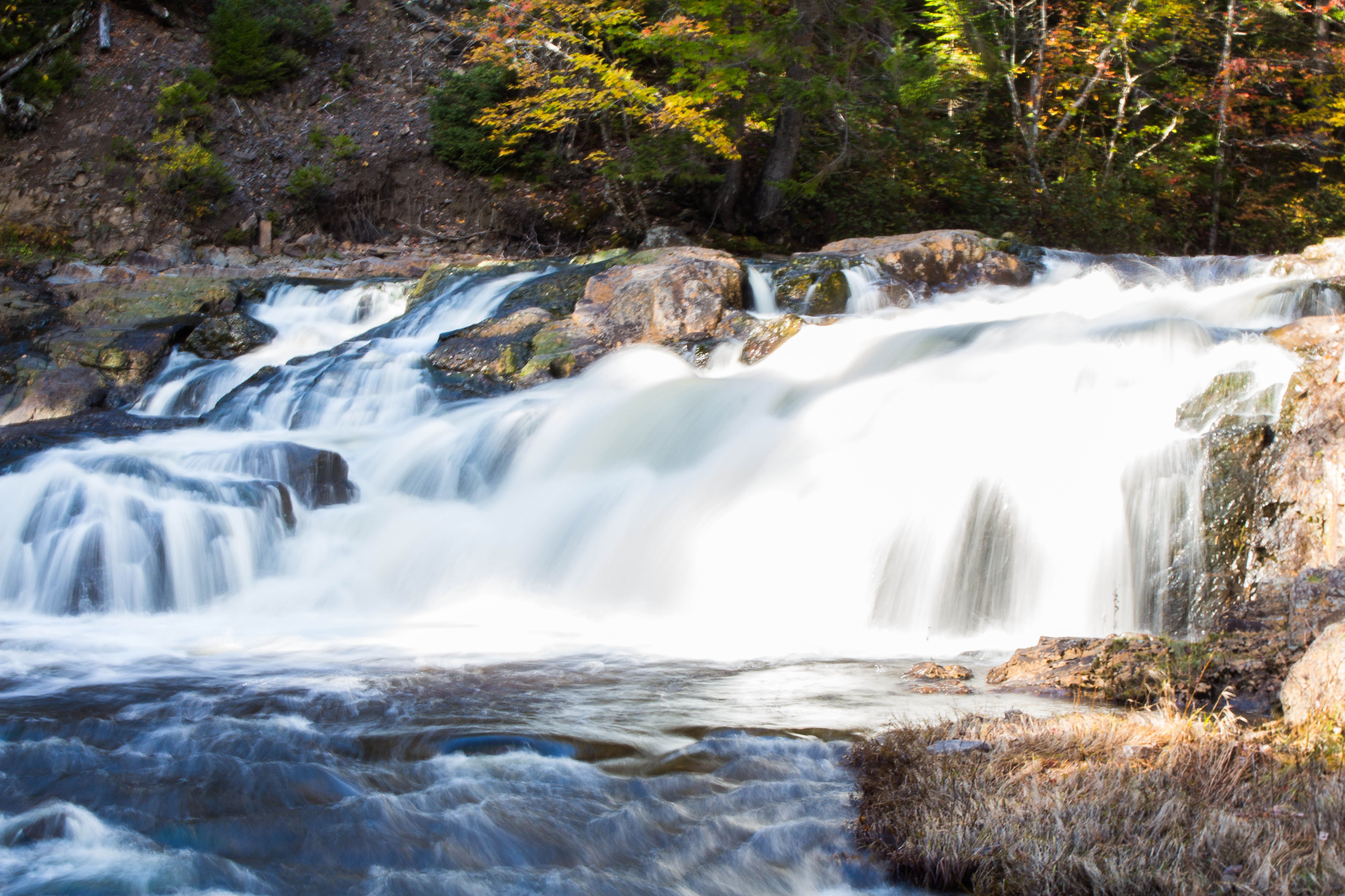
Stewiacke River, Colchester County, Nova Scotia (3)
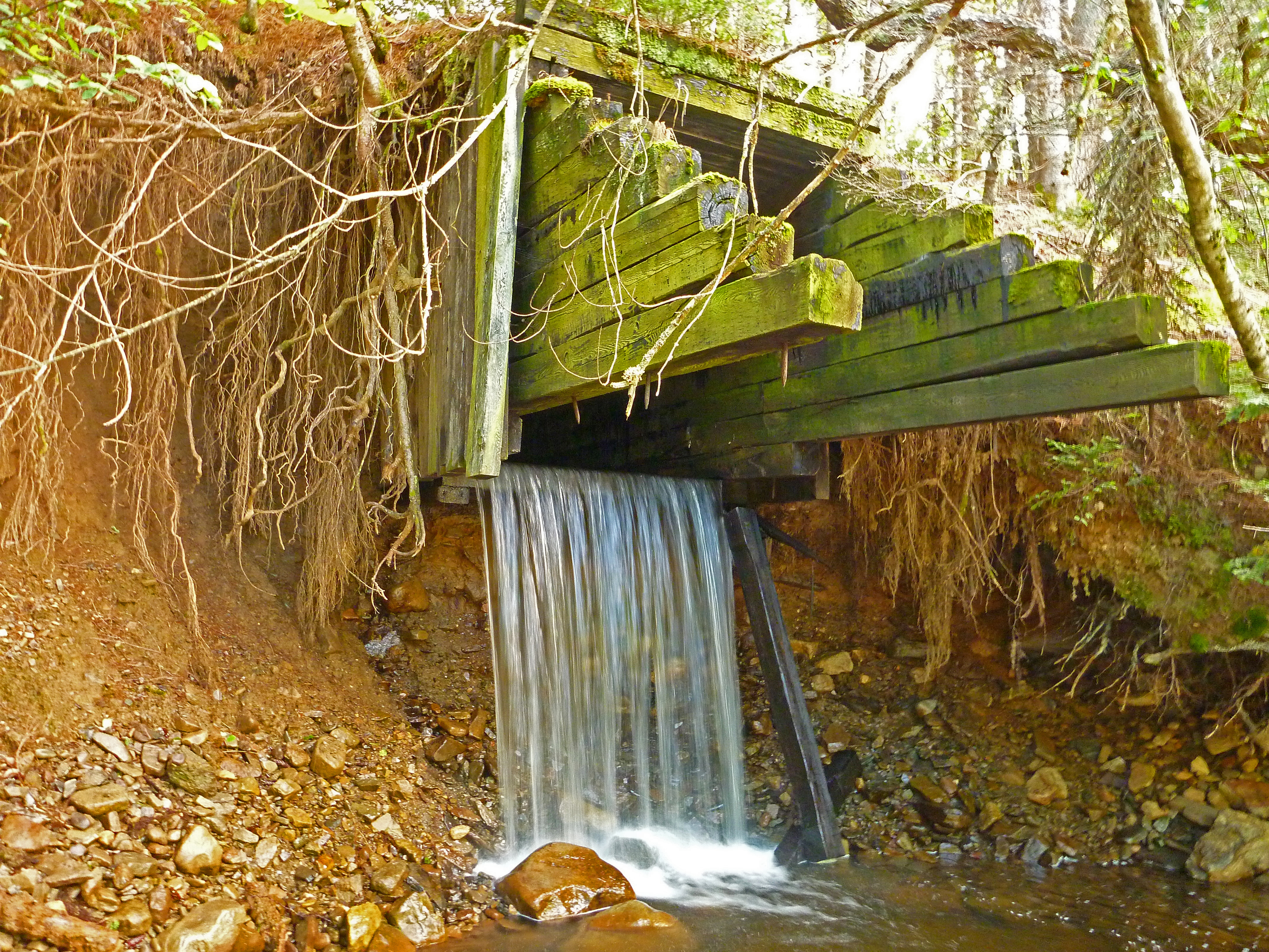
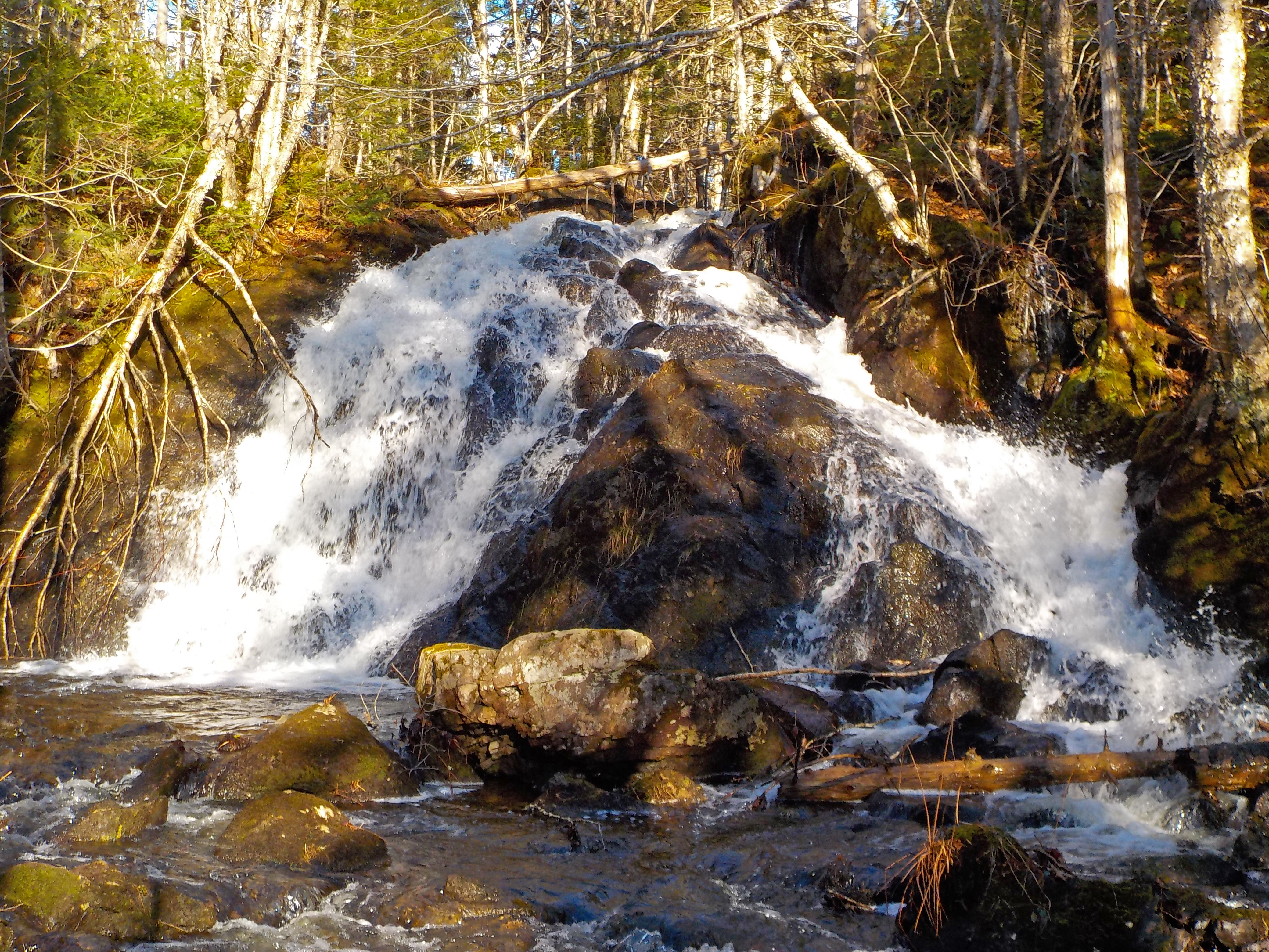
Water Way

Gairloch Lake

Beaver Dam
Deer - Saltsprings, Pictou County
Mount Thom, Pictou County, Nova Scotia
Topographic Map of Pembroke Rd, Riversdale, NS B6L 2M6, Canada
Find elevation by address:

Places near Pembroke Rd, Riversdale, NS B6L 2M6, Canada:
Mclean Road
Riversdale
Mount Thom
Greenfield Rd, Greenfield, NS B6L 3M1, Canada
Kemptown
Mount Thom Road
83 Chagford Pl
East Mountain
NS-4, Salt Springs, NS B0K 1P0, Canada
1150 Pictou Rd
38 Eastmount Ct
74 Croweland Dr
Valley
148 Salmon River Rd
Upper Brookside Road
Upper Brookside
Upper North River
2971 Ns-311
Hobby Barn
173 Dr Bernie Macdonald Dr
Recent Searches:
- Elevation of Corso Fratelli Cairoli, 35, Macerata MC, Italy
- Elevation of Tallevast Rd, Sarasota, FL, USA
- Elevation of 4th St E, Sonoma, CA, USA
- Elevation of Black Hollow Rd, Pennsdale, PA, USA
- Elevation of Oakland Ave, Williamsport, PA, USA
- Elevation of Pedrógão Grande, Portugal
- Elevation of Klee Dr, Martinsburg, WV, USA
- Elevation of Via Roma, Pieranica CR, Italy
- Elevation of Tavkvetili Mountain, Georgia
- Elevation of Hartfords Bluff Cir, Mt Pleasant, SC, USA