Elevation of Pechey Maclagan Rd, Groomsville QLD, Australia
Location: Australia > Queensland > Toowoomba Regional > Groomsville >
Longitude: 151.973663
Latitude: -27.317929
Elevation: 619m / 2031feet
Barometric Pressure: 94KPa
Elevation Map:
Satellite Map:
Related Photos:
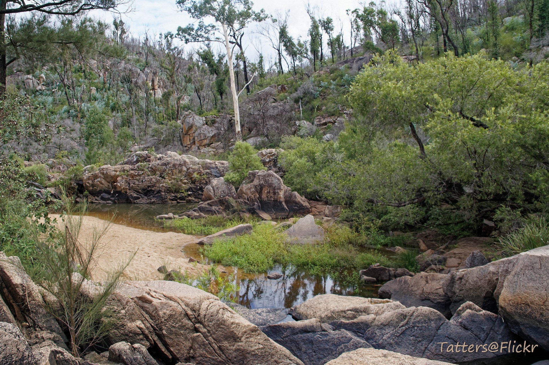
Crows Nest Creek
Crows Nest Creek (Bottlebrush pool)

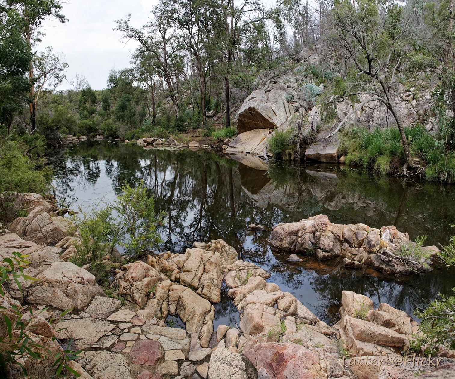
Crows Nest Creek: The Cascades, looking down to Kauyoo Pool

Crows Nest Creek (The Cascades)

Cuckoo Clocks

Waterfall in the Crows Nest district, ca. 1905
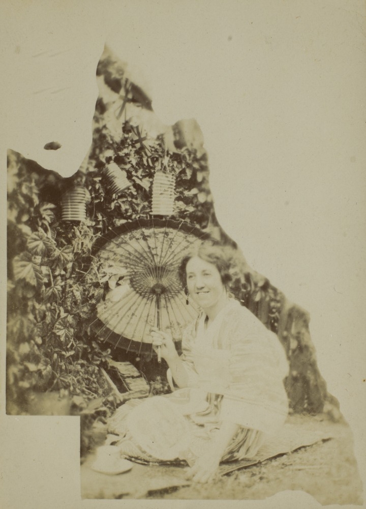
Female member of the Bisset Family wearing Japanese dress Crows Nest Queensland

Methodist Church, Crows Nest

Female member of the Bisset Family wearing Japanese dress, Crows Nest, Queensland

Crows Nest National Park Koonin Lookout
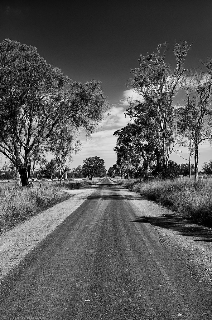
King of the Road

Holmes Loop to Spring Bluff

Holmes Loop to Spring Bluff

What once was ........

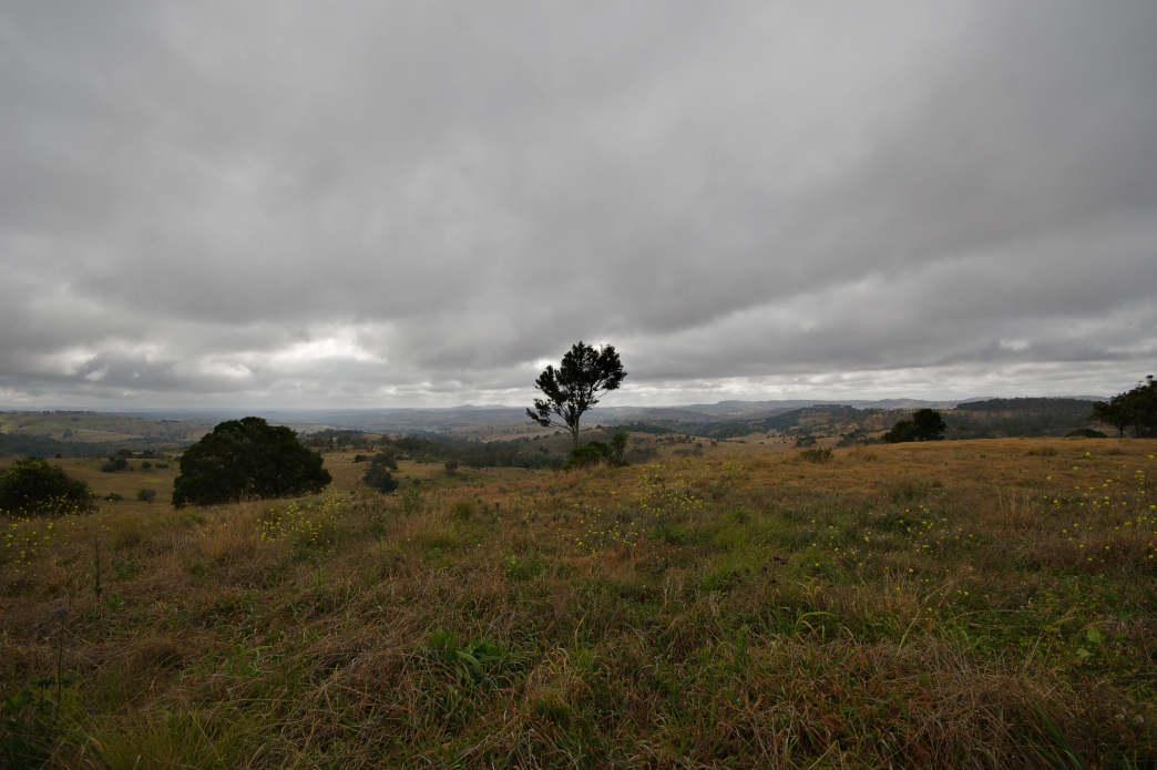
Crows Nest NP, 1992

Tall Timbers

Cressbrook Creek, Crows Nest NP, 1992
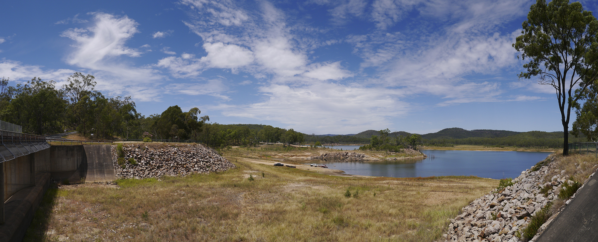
Lake Perserverance

Crows Nest NP, 1992

Lake Perserverance

CQ09 Day1 Goombungee

Feral Crucifix

Crows Nest National Park

Happy Riders
CQ09 Day 2 Goombungee to Kaimkillenbun
Nice shelf on it

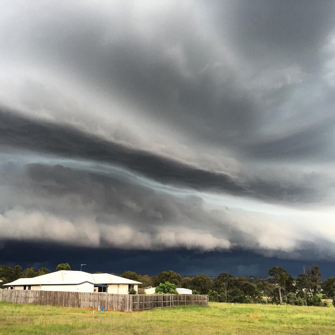
Incoming Crowy

Crows Nest NP

Pine Forest Road HDR

Home time.

Hollow Mandarin

Just got home from a week away visiting friends in #Toowoomba. Love the wide open spaces & being on holidays. #Australian #bush #landscapes #bluesky #dusk #australiagram_qld
Topographic Map of Pechey Maclagan Rd, Groomsville QLD, Australia
Find elevation by address:

Places near Pechey Maclagan Rd, Groomsville QLD, Australia:
1205 Pechey Maclagan Rd
Groomsville
Plainby
587 Merritts Creek Rd
15 Merritts Creek Rd
176 Merritts Creek Rd
Merritts Creek
18 William St
Pechey
Aberdein Road
133 Brennan Rd
Crows Nest
83 Keys Rd
3 New England Hwy
Mount Luke
Hampton
2 East Side Rd
33 Rodeo Dr
11 Charles St
31 Forest Dr
Recent Searches:
- Elevation of Corso Fratelli Cairoli, 35, Macerata MC, Italy
- Elevation of Tallevast Rd, Sarasota, FL, USA
- Elevation of 4th St E, Sonoma, CA, USA
- Elevation of Black Hollow Rd, Pennsdale, PA, USA
- Elevation of Oakland Ave, Williamsport, PA, USA
- Elevation of Pedrógão Grande, Portugal
- Elevation of Klee Dr, Martinsburg, WV, USA
- Elevation of Via Roma, Pieranica CR, Italy
- Elevation of Tavkvetili Mountain, Georgia
- Elevation of Hartfords Bluff Cir, Mt Pleasant, SC, USA