Elevation of Pecan Island, LA, USA
Location: United States > Louisiana > Vermilion Parish > >
Longitude: -92.456116
Latitude: 29.647686
Elevation: 3m / 10feet
Barometric Pressure: 101KPa
Elevation Map:
Satellite Map:
Related Photos:

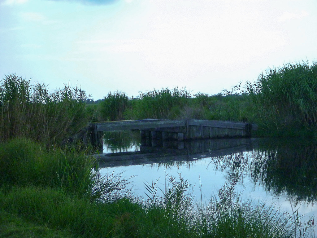
Bayou, Grass, Sky

Sacred Heart Chapel, Pecan Island

Hunting in the marsh

Fishing at Sunset

untitled shoot-1010224

untitled shoot-1010178

untitled shoot-1010168

untitled shoot-1010200

untitled shoot-1010238

untitled shoot-1010199

untitled shoot-1010163

untitled shoot-1010179

untitled shoot-1010201

untitled shoot-1010164
untitled shoot-1010187
untitled shoot-1010209

untitled shoot-1010142

untitled shoot-1010143

untitled shoot-1010165

untitled shoot-1010192

untitled shoot-1010204
Topographic Map of Pecan Island, LA, USA
Find elevation by address:

Places near Pecan Island, LA, USA:
Pecan Island
Pecan Island Food Store
26411 Front Ridge Rd
Pecan Island West Hunt Club
Front Ridge Rd, Kaplan, LA, USA
13, LA, USA
Vermilion Parish
Pine Island Rd, Abbeville, LA, USA
Forked Island
Cuz Rd, Abbeville, LA, USA
21318 Cuz Rd
13923 Wright Rd
13923 Wright Rd
13729 Wright Rd
Waldo Road
28929 Saltzman Rd
4, LA, USA
28618 Saltzman Rd
28618 Saltzman Rd
Intracoastal City
Recent Searches:
- Elevation of Corso Fratelli Cairoli, 35, Macerata MC, Italy
- Elevation of Tallevast Rd, Sarasota, FL, USA
- Elevation of 4th St E, Sonoma, CA, USA
- Elevation of Black Hollow Rd, Pennsdale, PA, USA
- Elevation of Oakland Ave, Williamsport, PA, USA
- Elevation of Pedrógão Grande, Portugal
- Elevation of Klee Dr, Martinsburg, WV, USA
- Elevation of Via Roma, Pieranica CR, Italy
- Elevation of Tavkvetili Mountain, Georgia
- Elevation of Hartfords Bluff Cir, Mt Pleasant, SC, USA