Elevation of Pearl Mill Rd, Elberton, GA, USA
Location: United States > Georgia > Elbert County > Elberton >
Longitude: -82.731119
Latitude: 34.097415
Elevation: 155m / 509feet
Barometric Pressure: 99KPa
Elevation Map:
Satellite Map:
Related Photos:

The Munumer Family's Angel

Moss on the Memorial Bench

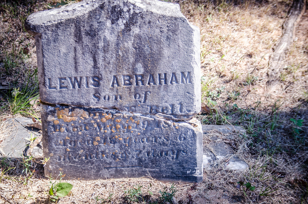
Headstone of Bedford H. Heard

Graves of George and Bedford Heard

Two Lambs winter
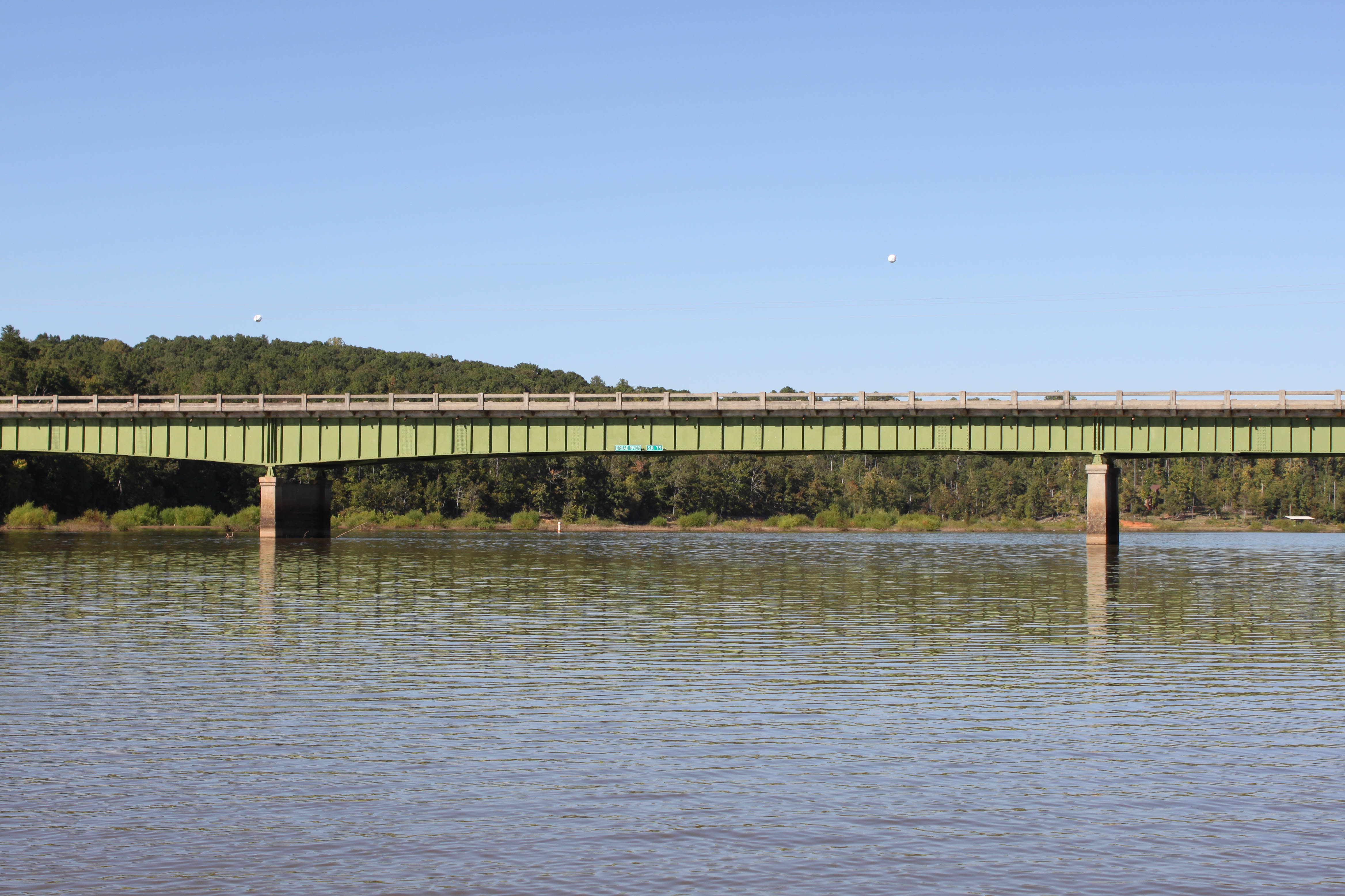
GA Highway 79 over Broad River-Lake Thurmond-5

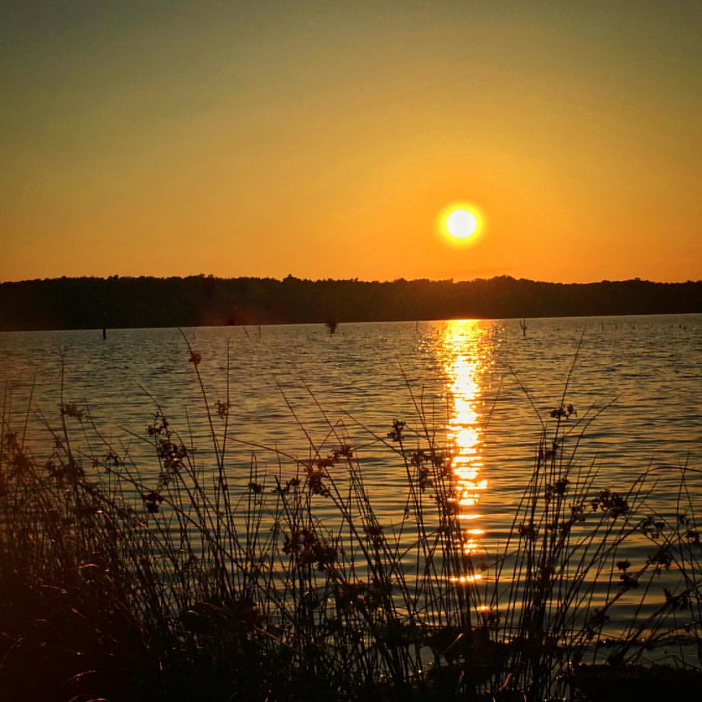
Memorial Day @ the lake

Labor Day at Lake Thurmond-1
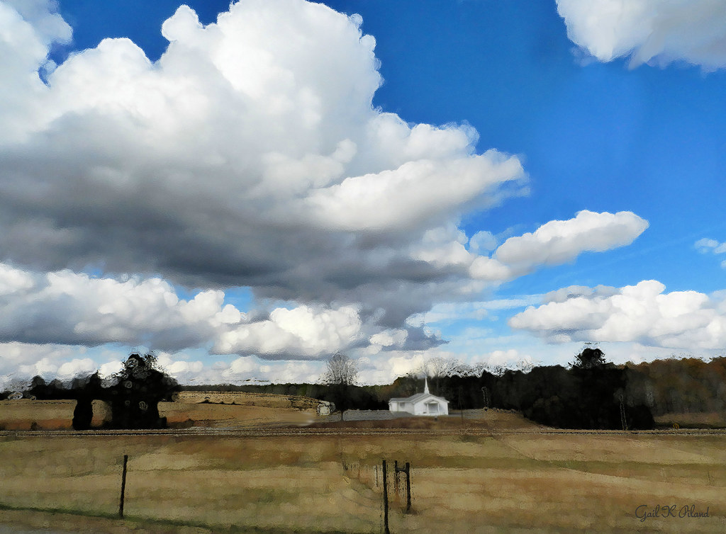
Church & clouds........Explore #131 12/3/12

Richard B Russell FDT
Smyrna Methodist Church Cemetery-030
Lowndesville Railroad Right of Way-001
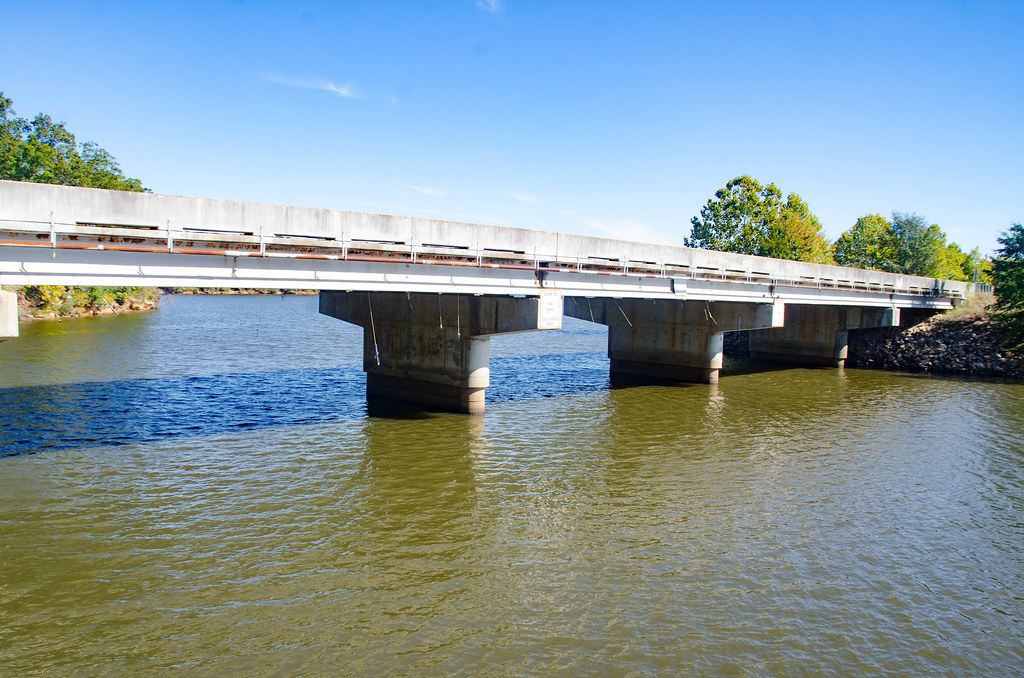
Highway 71 Bridge over Lake Russell
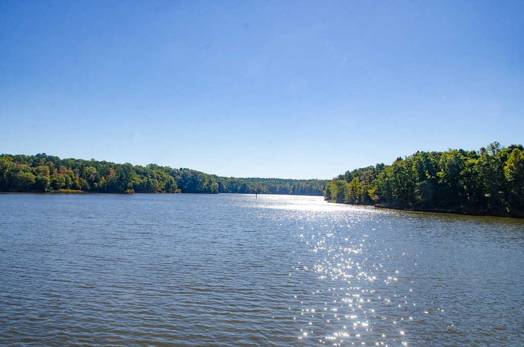
Lake Russell
Now that Camera+ lets you control the ISO and shutter speed, there's almost no need to carry my camera anymore.

Lake Russell, South Carolina
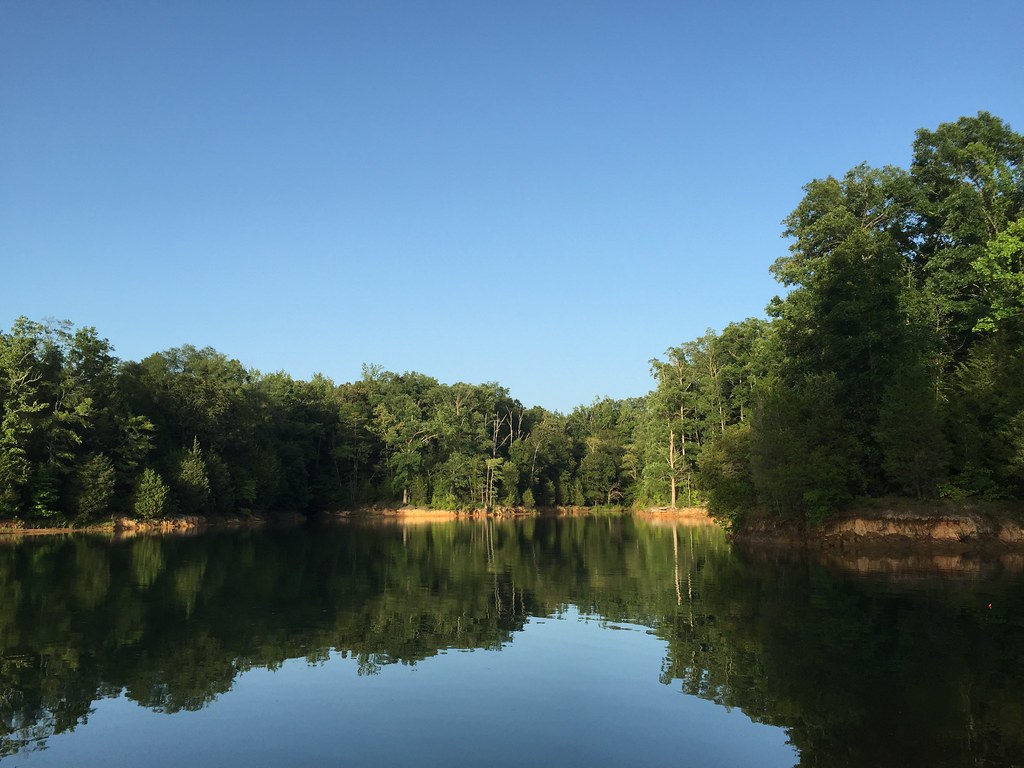
Lake Russell, South Carolina
Topographic Map of Pearl Mill Rd, Elberton, GA, USA
Find elevation by address:

Places near Pearl Mill Rd, Elberton, GA, USA:
1484 Pearl Mill Rd
Heardmont Rd, Elberton, GA, USA
2345 Middleton Shores Dr
Johnsontown Dr, Elberton, GA, USA
Lakeside Drive
Heardmont
Dry Fork Landing Drive
Dry Fork Landing Drive
Old Middleton Rd, Elberton, GA, USA
1776 Old Middleton Rd
Willis Rd, Elberton, GA, USA
Richard B Russell State Park
Ruckersville Rd, Elberton, GA, USA
Washington Hwy, Elberton, GA, USA
Cook St, Elberton, GA, USA
River Rd, Elberton, GA, USA
3286 Ruckersville Rd
Ruckersville Rd, Elberton, GA, USA
Main Street Elberton
Elbert County
Recent Searches:
- Elevation of Corso Fratelli Cairoli, 35, Macerata MC, Italy
- Elevation of Tallevast Rd, Sarasota, FL, USA
- Elevation of 4th St E, Sonoma, CA, USA
- Elevation of Black Hollow Rd, Pennsdale, PA, USA
- Elevation of Oakland Ave, Williamsport, PA, USA
- Elevation of Pedrógão Grande, Portugal
- Elevation of Klee Dr, Martinsburg, WV, USA
- Elevation of Via Roma, Pieranica CR, Italy
- Elevation of Tavkvetili Mountain, Georgia
- Elevation of Hartfords Bluff Cir, Mt Pleasant, SC, USA