Elevation of Peace River C, BC, Canada
Location: Canada > British Columbia > Peace River >
Longitude: -120.73504
Latitude: 56.2127994
Elevation: 650m / 2133feet
Barometric Pressure: 94KPa
Elevation Map:
Satellite Map:
Related Photos:
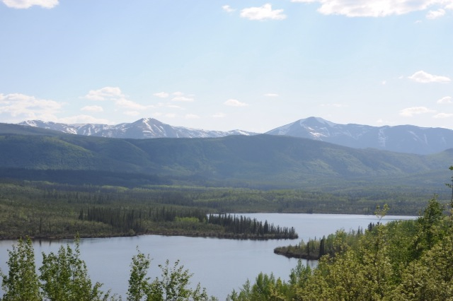
BC Peace River View

A Great Place to View the Peace
Taking in the View
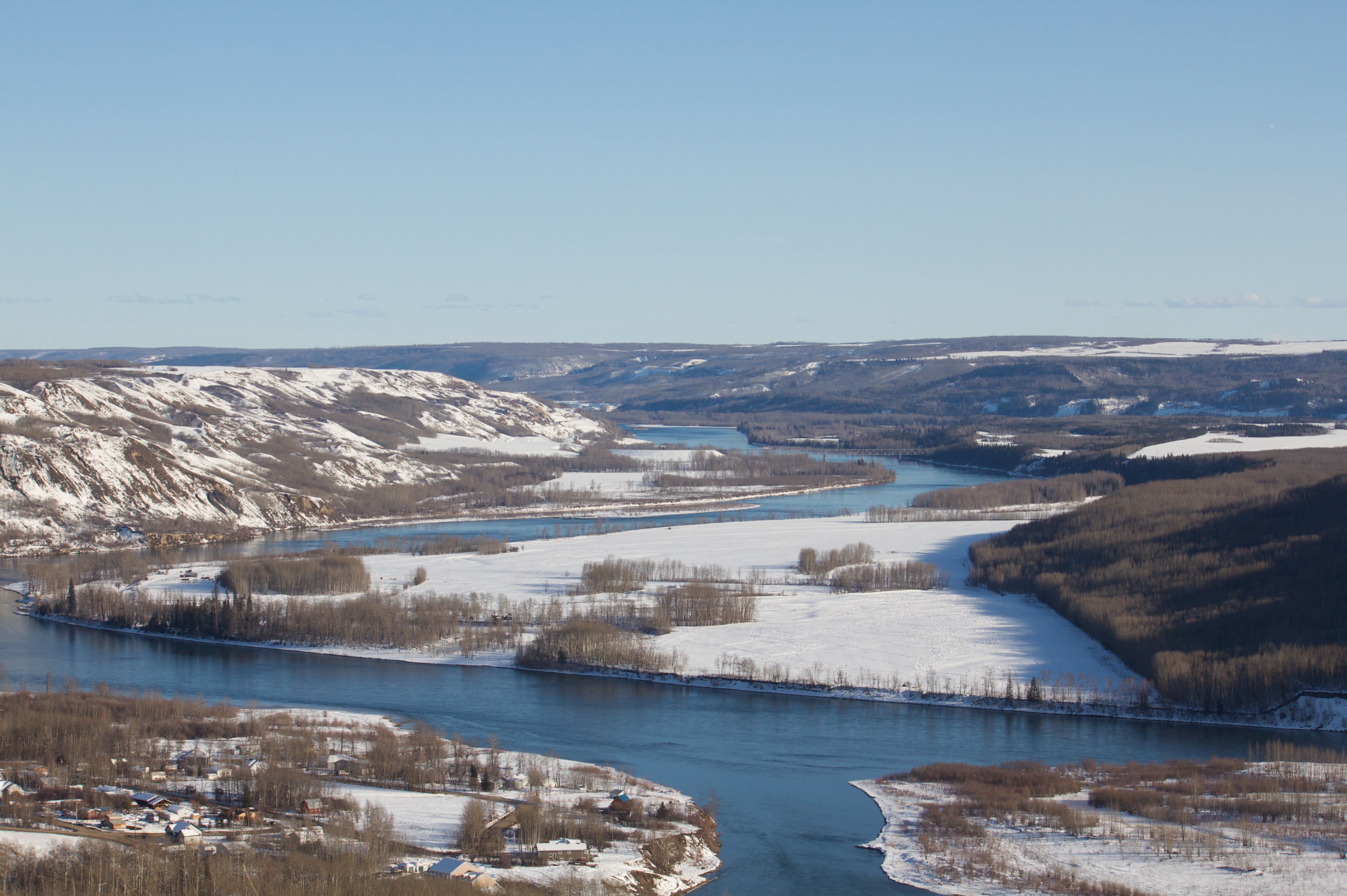
Bird's Eye View
Bird's Eye View
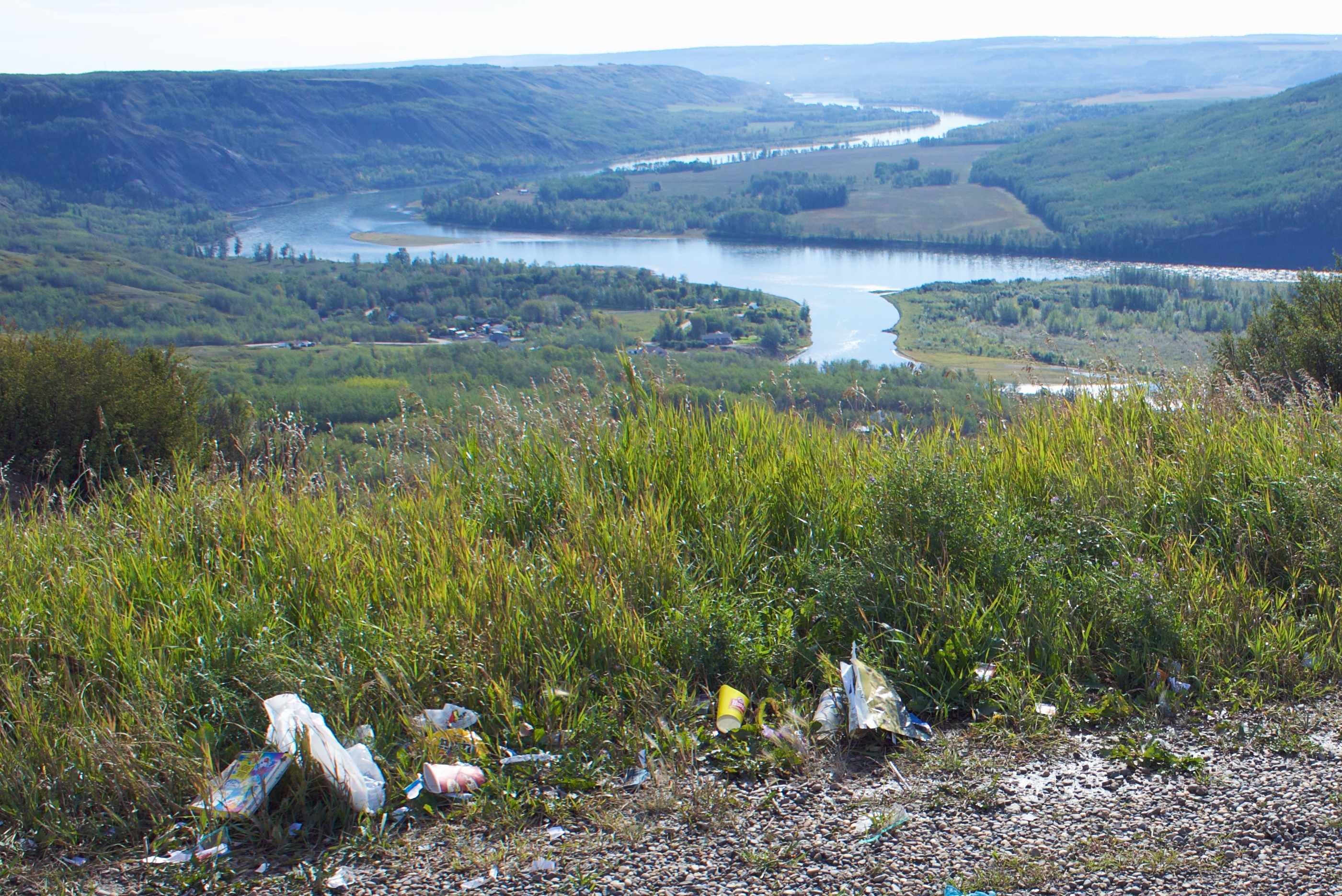
Why Do People Have to Spoil the View
Lake view
Ride, with a view
Bird's Eye View

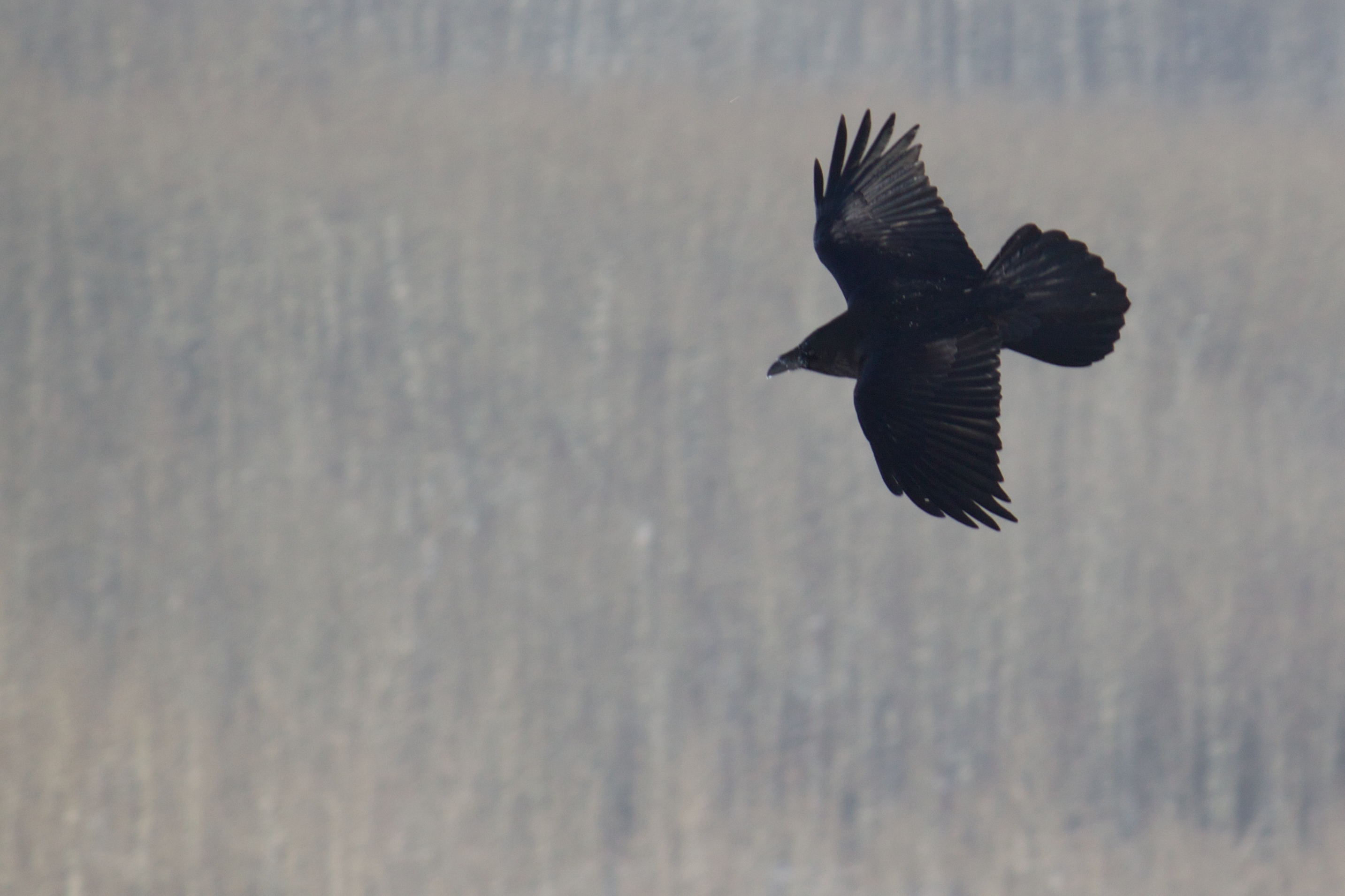
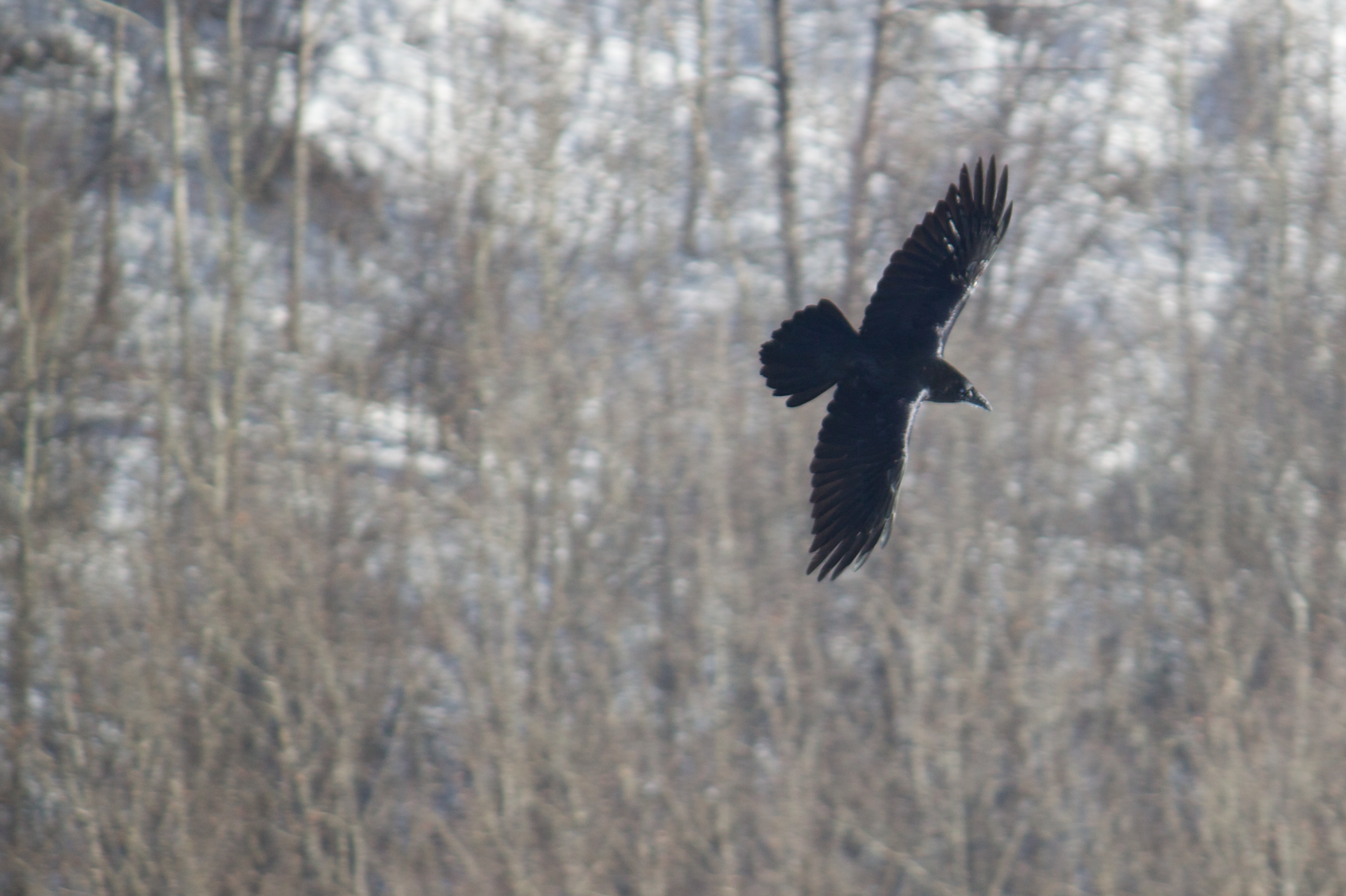
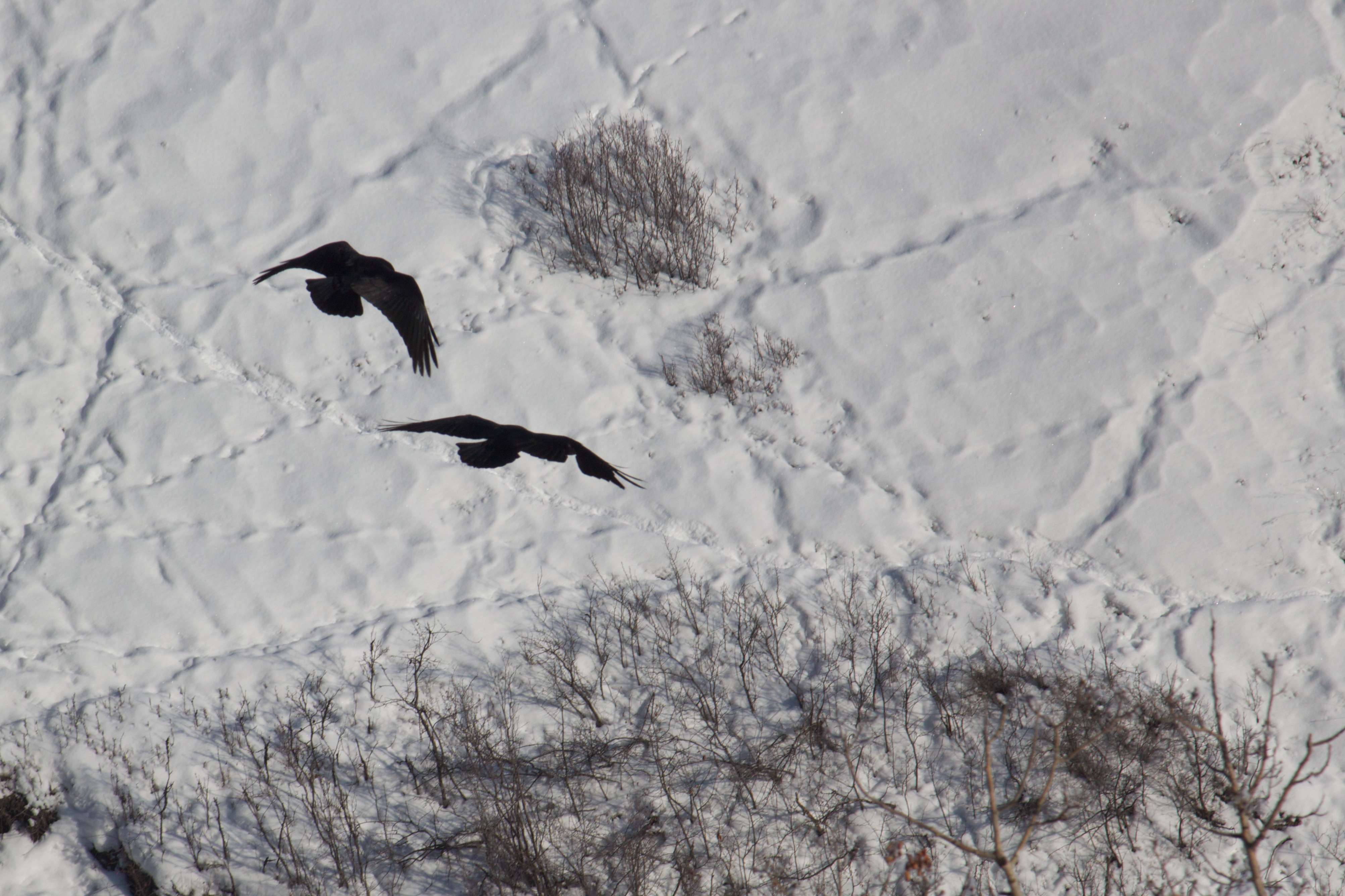
Wildlife in Northern British Columbia
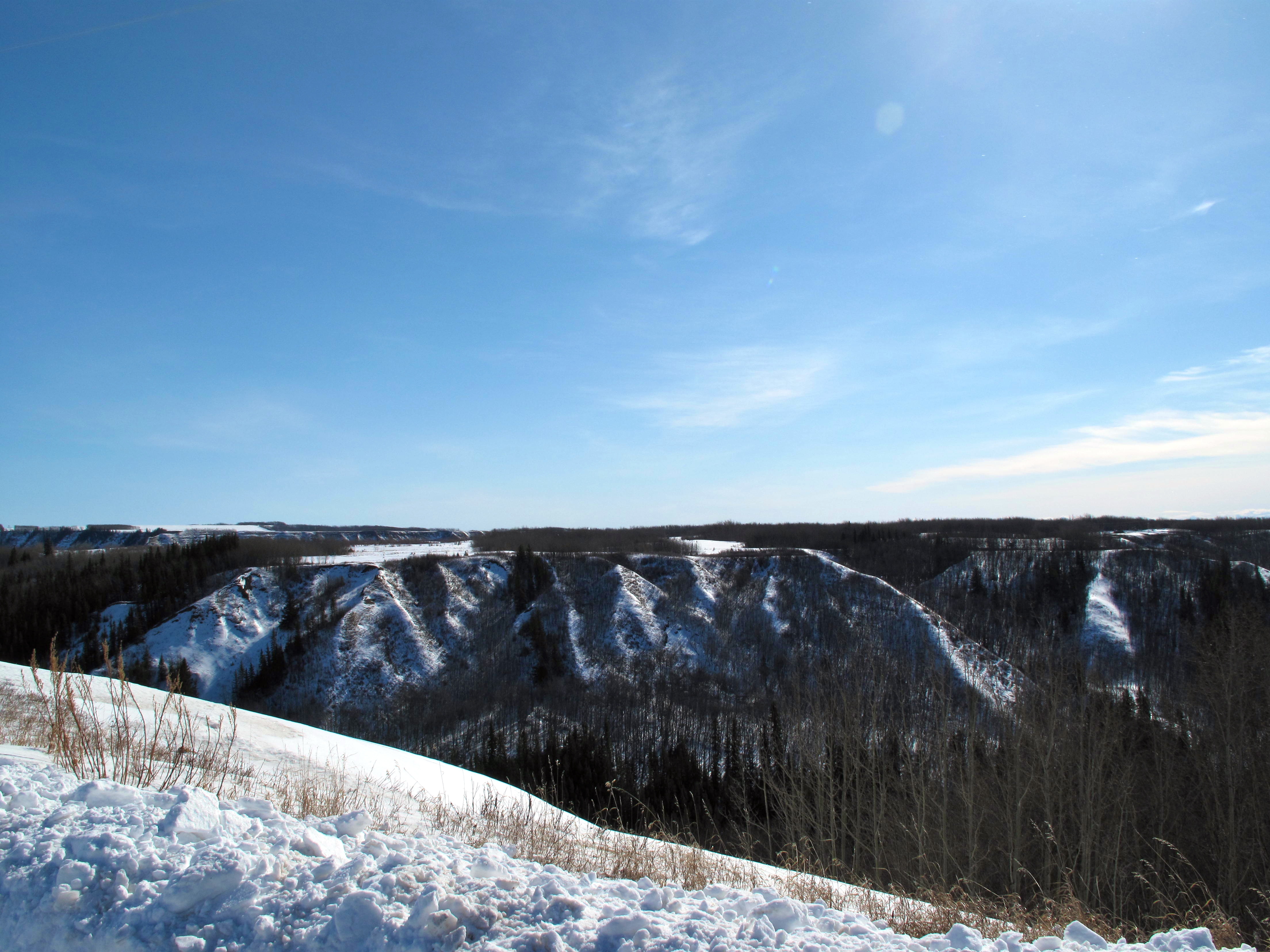
Coulee View
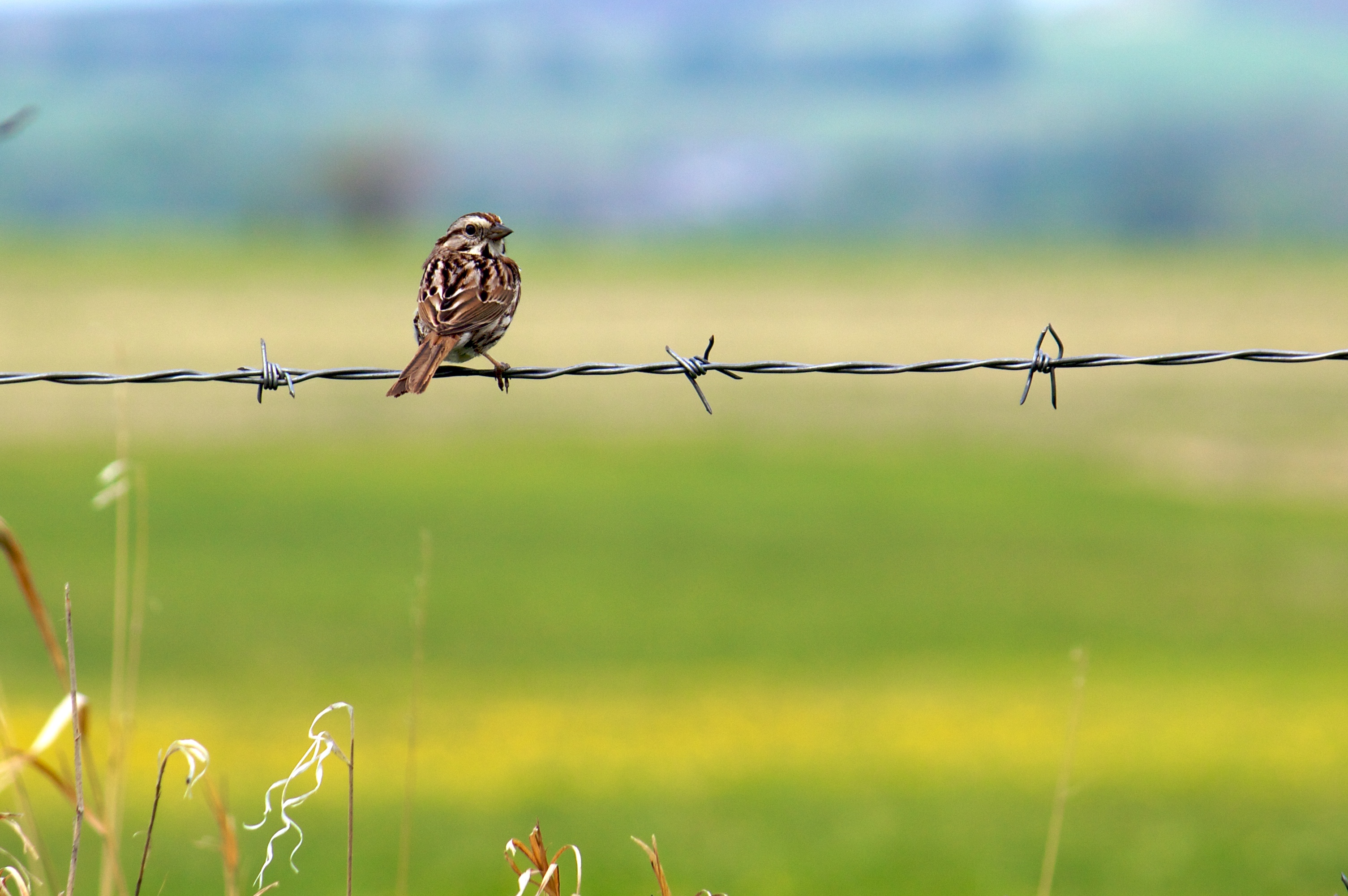
Song Sparrow (I think)
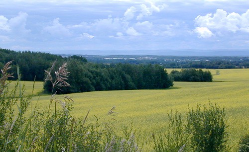
Big Sky over Canola
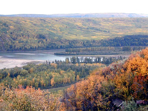
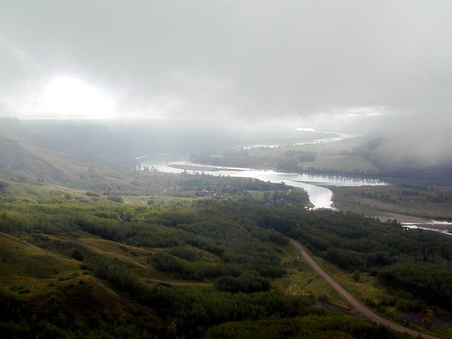
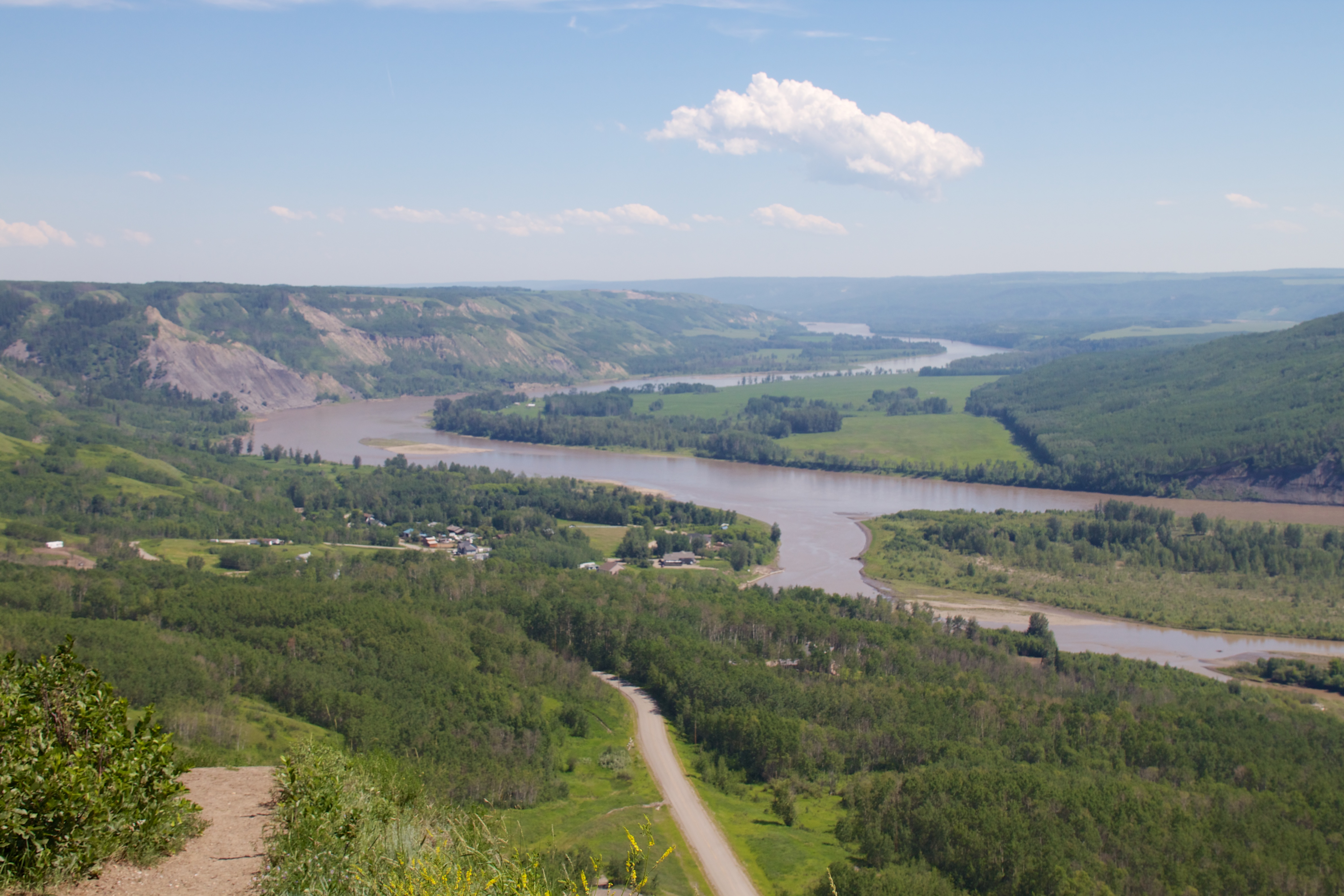
Peace Lookout
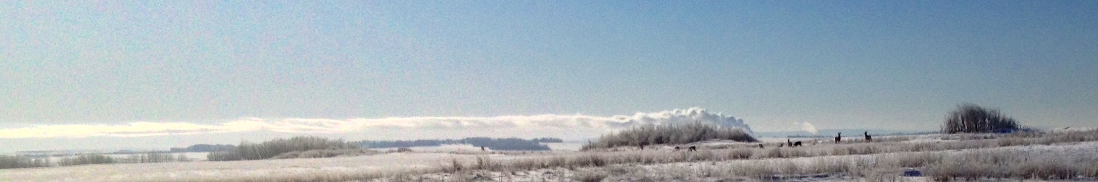
Peace River Fog
Last Light
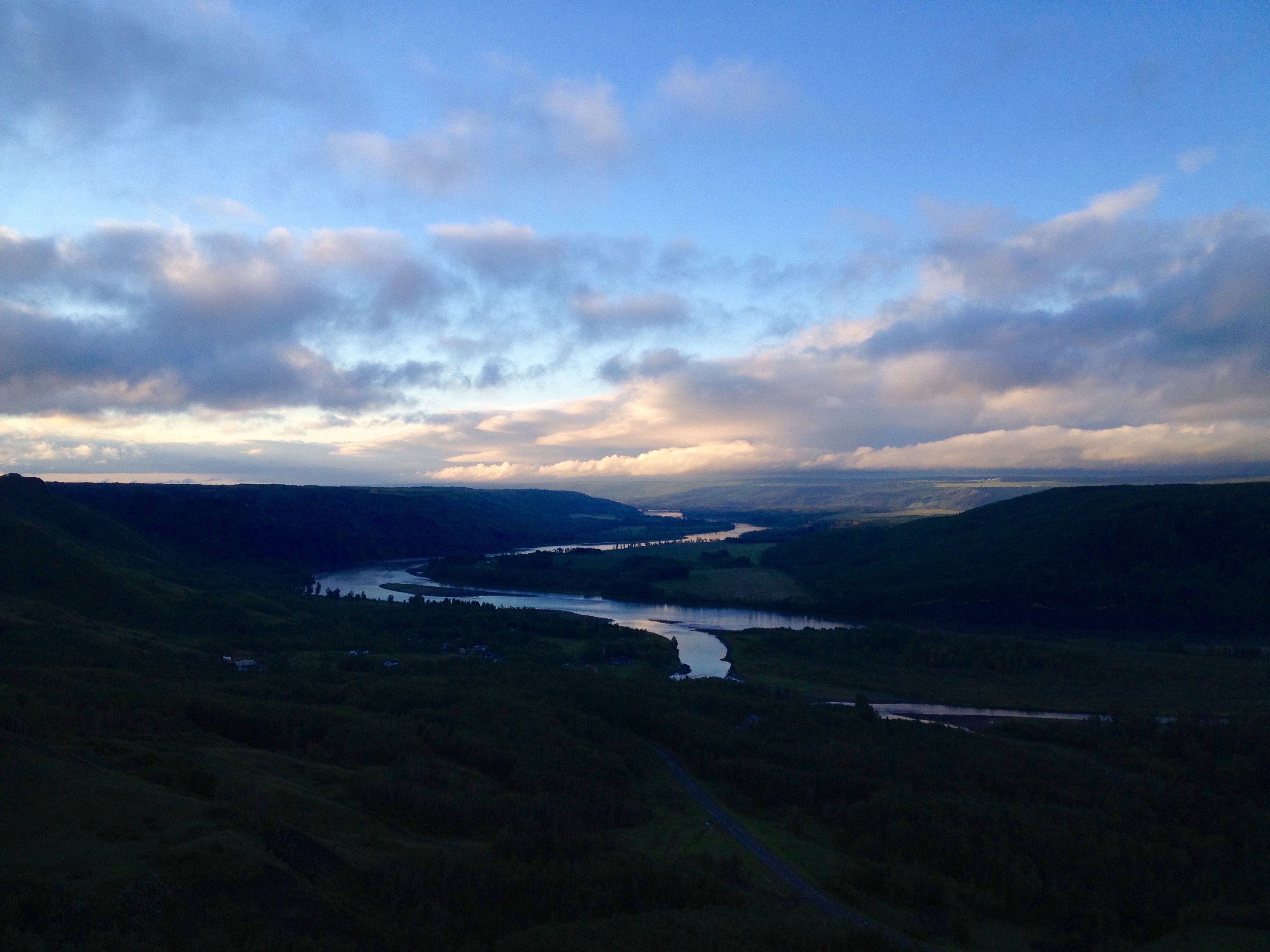
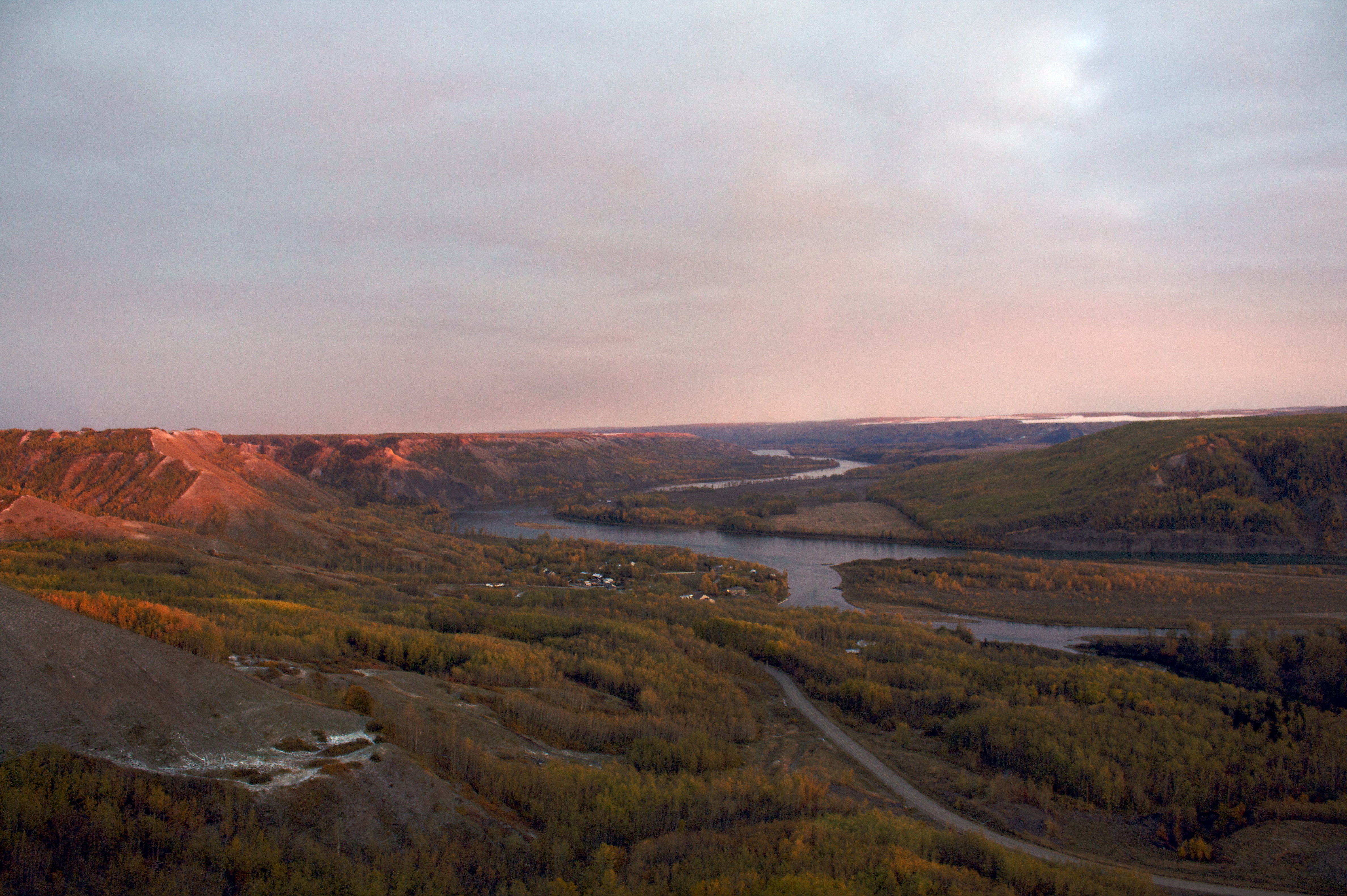
Sunrise on the Peace River

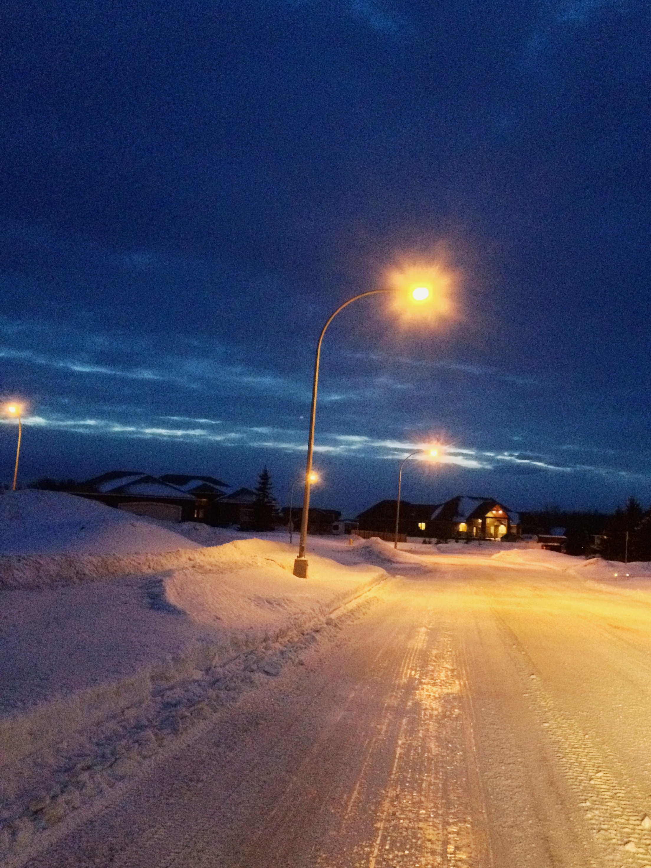
Fort St. John Walking Trails!
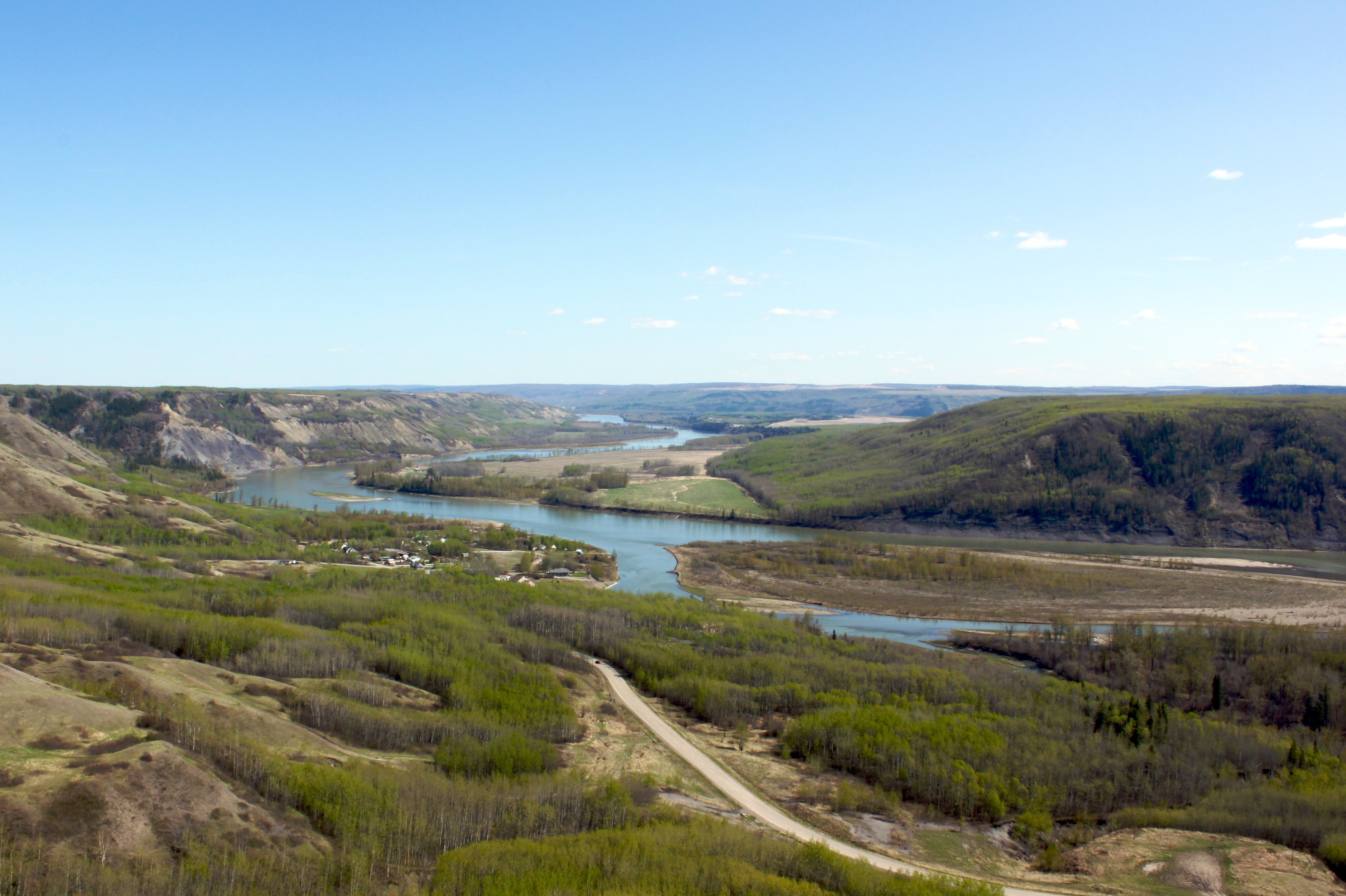
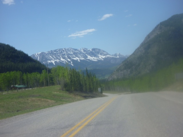
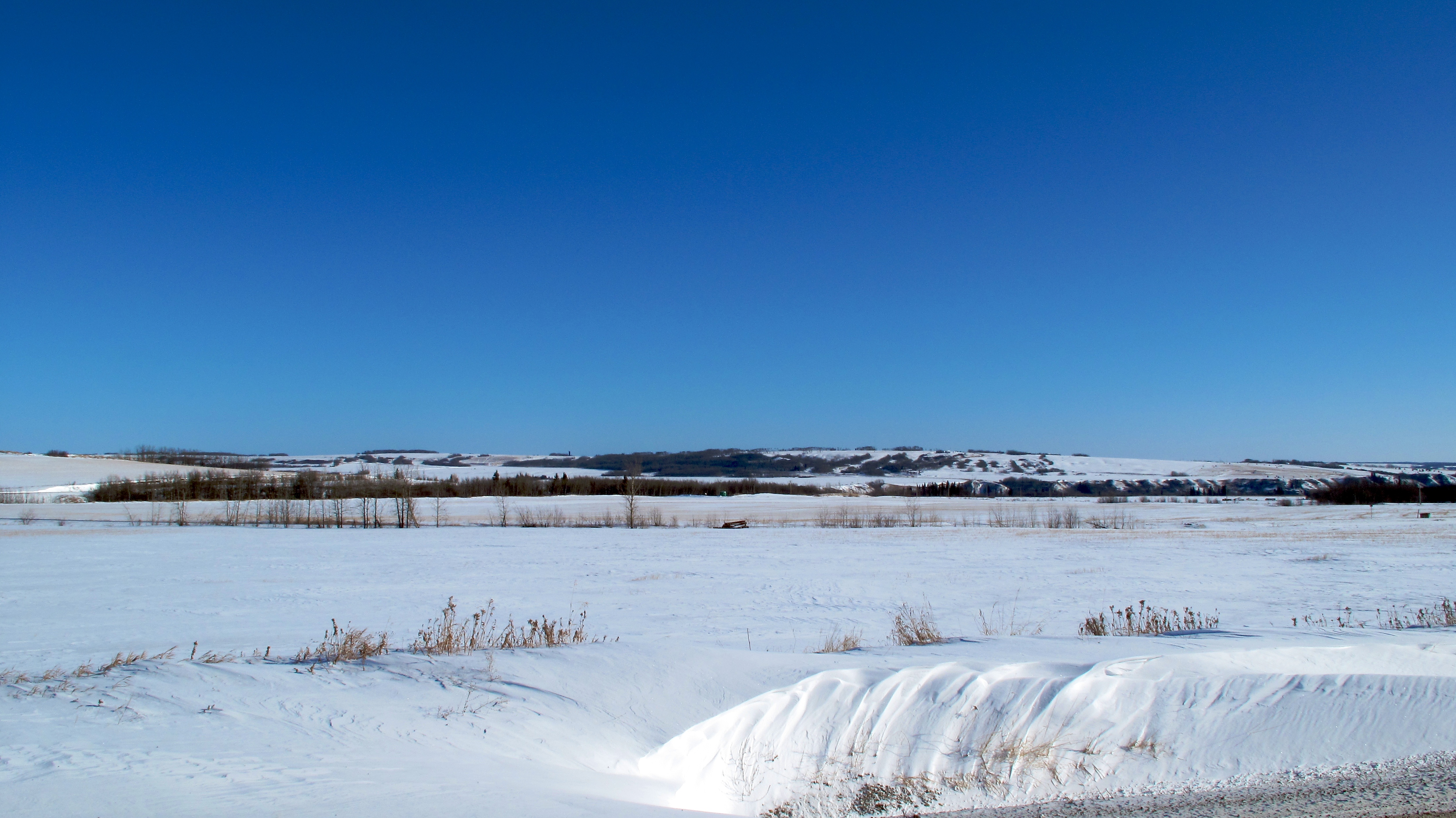
The Peace River in Spring
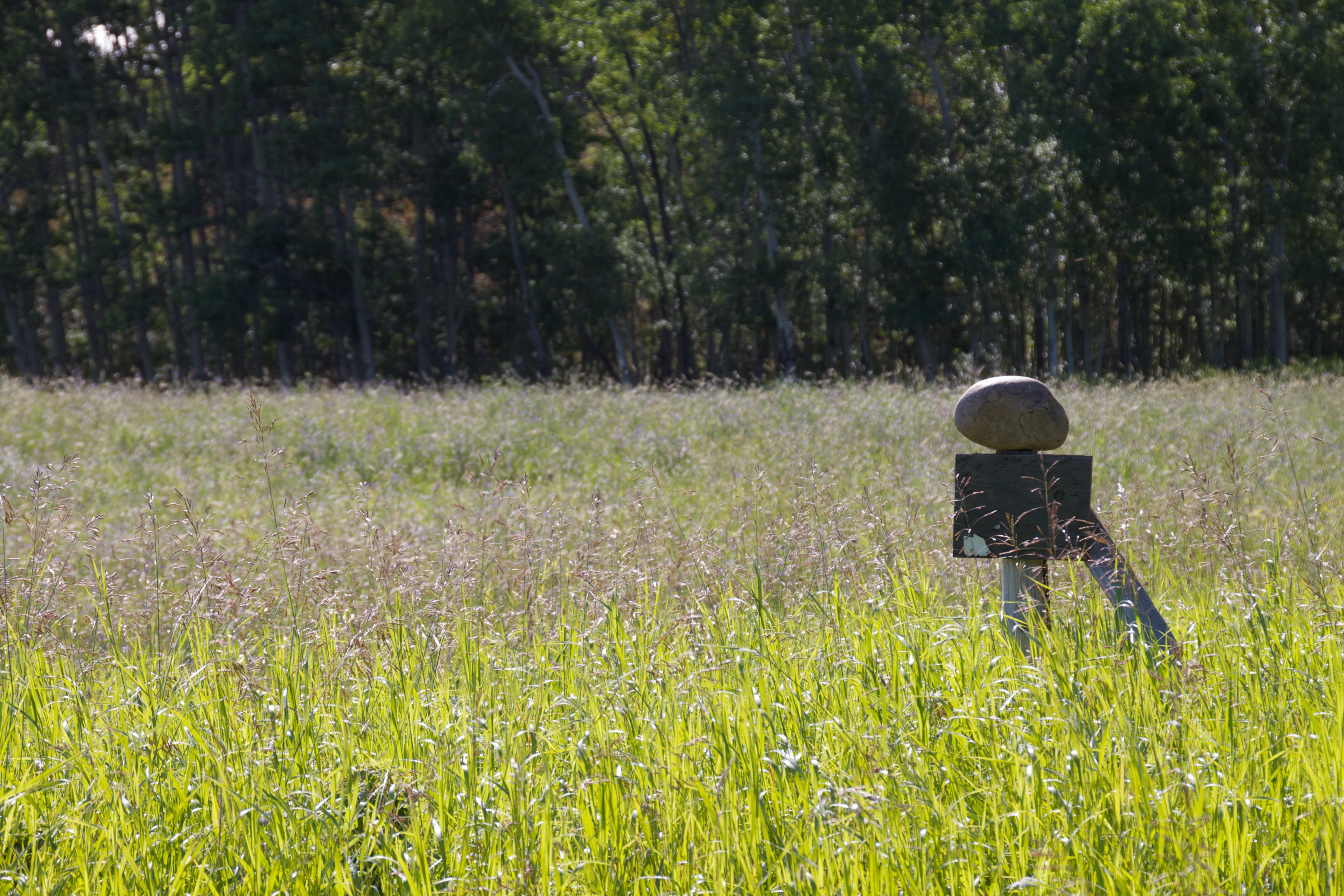
Balancing Act
Looking Towards North Pine
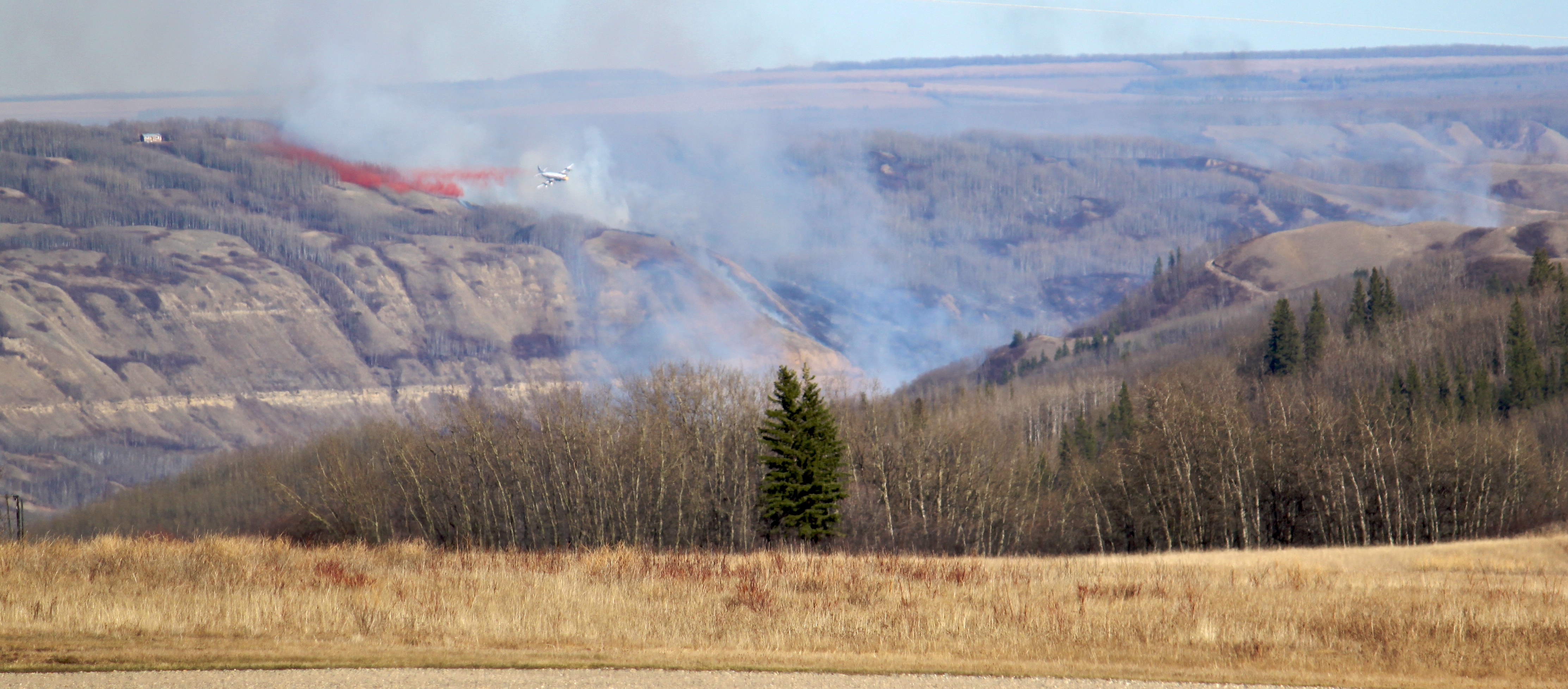
Fire Near Fort St. John, BC
Hazy Sky Muddy Water
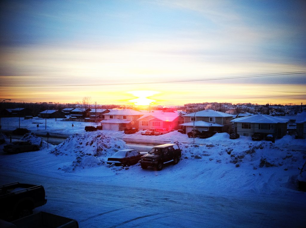
Saturday Morning Sunrise

FSJ lookout
A sunset to finish the day.

Charlie Lake BBQ
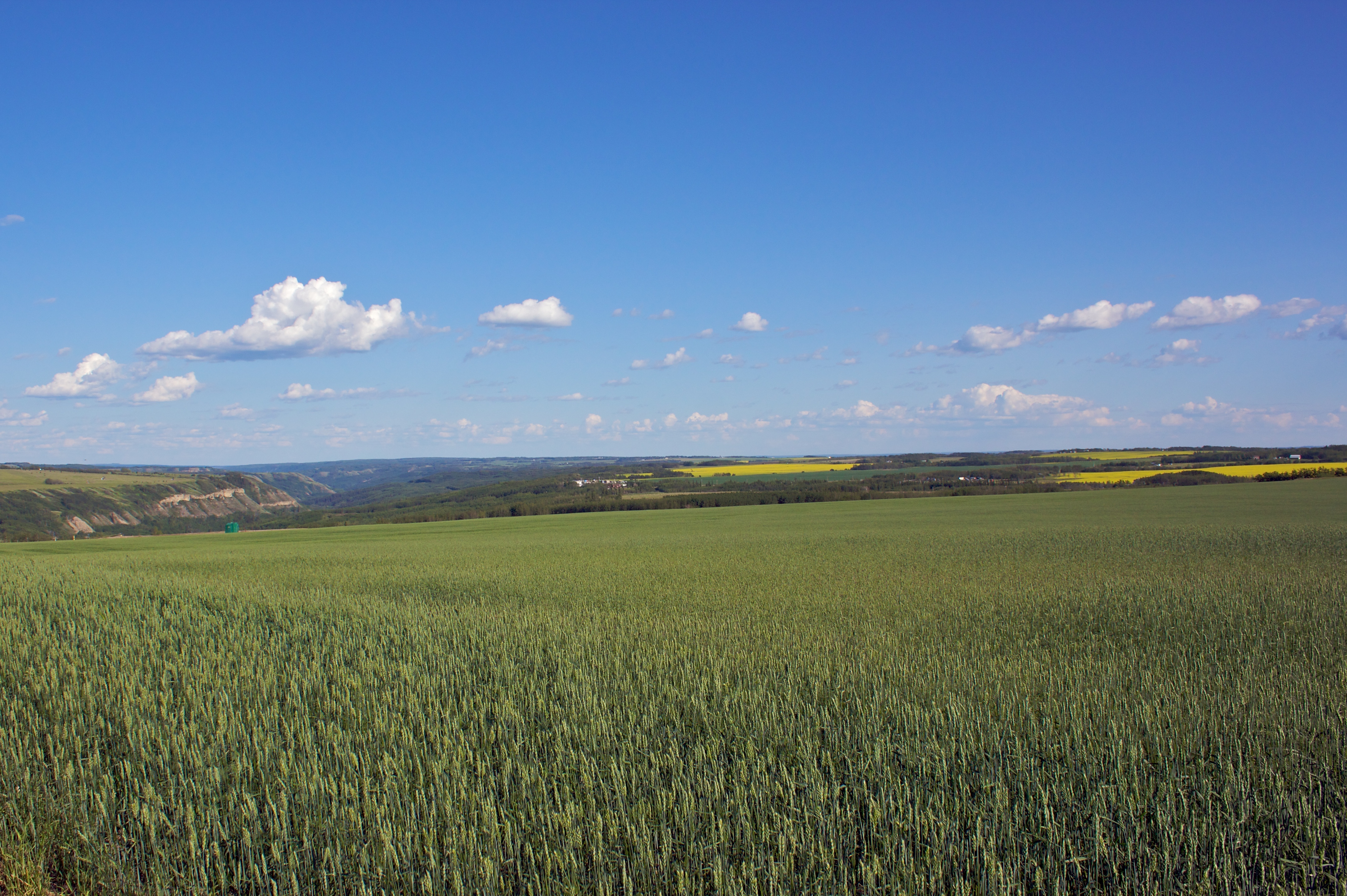
Crops in the Field
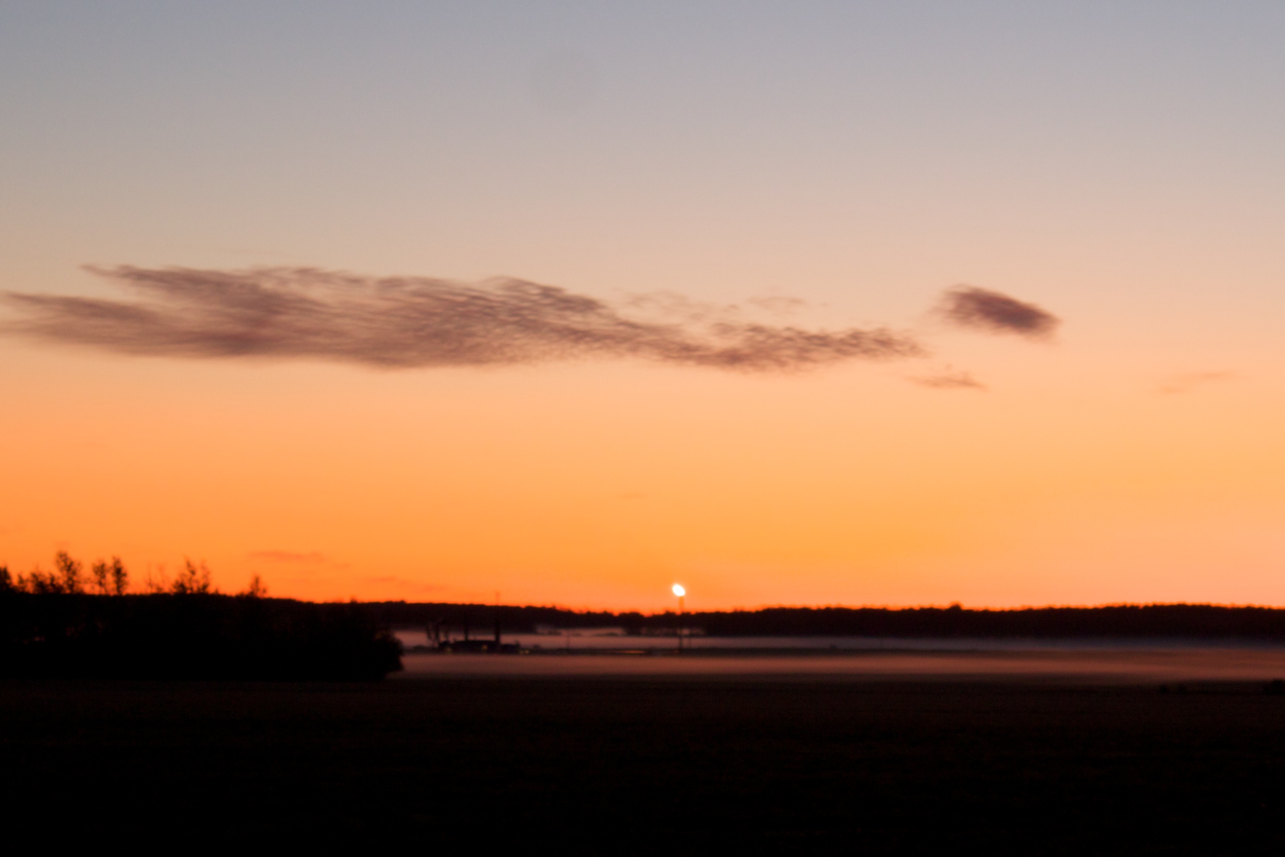
Peace River Sunset

Finding a little Peace in Peace Country!
Topographic Map of Peace River C, BC, Canada
Find elevation by address:

Places in Peace River C, BC, Canada:
Places near Peace River C, BC, Canada:
Baldonnel
Taylor
Taylor
St, Taylor, BC V0C 2K0, Canada
Old Fort
Farmington
Groundbirch
Arras
1505 101 Ave
Dawson Creek
Alaska Highway (alcan) Mile 0 Milepost
Clayhurst
Upper Cutbank
Peace River D
Recent Searches:
- Elevation of Corso Fratelli Cairoli, 35, Macerata MC, Italy
- Elevation of Tallevast Rd, Sarasota, FL, USA
- Elevation of 4th St E, Sonoma, CA, USA
- Elevation of Black Hollow Rd, Pennsdale, PA, USA
- Elevation of Oakland Ave, Williamsport, PA, USA
- Elevation of Pedrógão Grande, Portugal
- Elevation of Klee Dr, Martinsburg, WV, USA
- Elevation of Via Roma, Pieranica CR, Italy
- Elevation of Tavkvetili Mountain, Georgia
- Elevation of Hartfords Bluff Cir, Mt Pleasant, SC, USA