Elevation of Peña Blanca, Panama
Location: Panama > Ngäbe-buglé Comarca > Distretto Di Müna >
Longitude: -81.641167
Latitude: 8.492564
Elevation: 873m / 2864feet
Barometric Pressure: 91KPa
Elevation Map:
Satellite Map:
Related Photos:
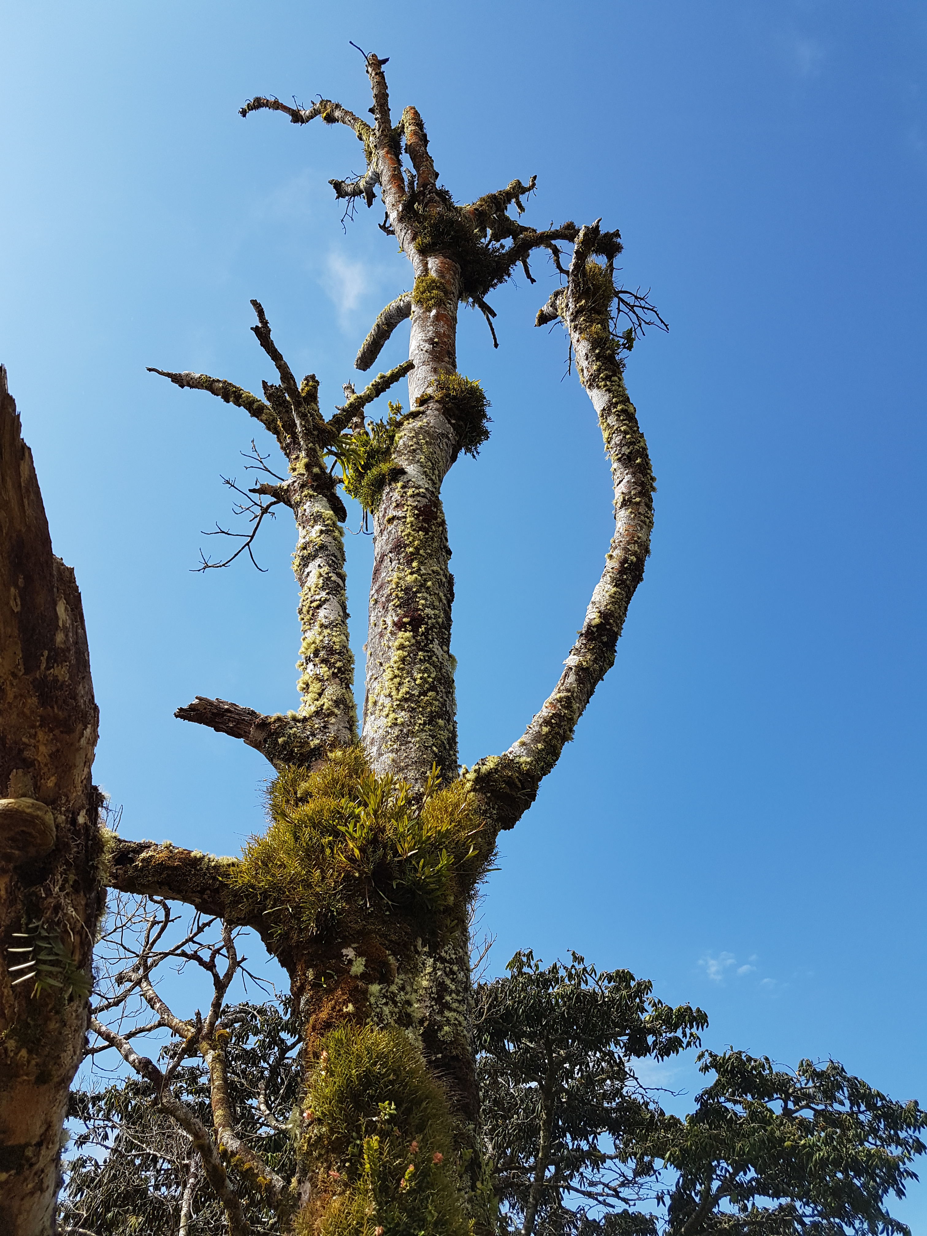
Treebeards little brother
Topographic Map of Peña Blanca, Panama
Find elevation by address:

Places near Peña Blanca, Panama:
Distretto Di Müna
Ngäbe-buglé Comarca
Caldera, Chiriquí
Cochea Arriba
Chiriqui
Los Anastacios
Lucero Homes
Dolega District
Boquete Canyon Village
Boquete
Alto Boquete
Tinajas, Chiriquí
Los Molinos
Hacienda Los Molinos Boutique Hotel
Cowboy Dave's
El Explorador
Jaramillo Arriba
Cabañas Brisas Alto Boquete
Potrerillos Abajo
Panamonte Inn & Spa
Recent Searches:
- Elevation of Corso Fratelli Cairoli, 35, Macerata MC, Italy
- Elevation of Tallevast Rd, Sarasota, FL, USA
- Elevation of 4th St E, Sonoma, CA, USA
- Elevation of Black Hollow Rd, Pennsdale, PA, USA
- Elevation of Oakland Ave, Williamsport, PA, USA
- Elevation of Pedrógão Grande, Portugal
- Elevation of Klee Dr, Martinsburg, WV, USA
- Elevation of Via Roma, Pieranica CR, Italy
- Elevation of Tavkvetili Mountain, Georgia
- Elevation of Hartfords Bluff Cir, Mt Pleasant, SC, USA