Elevation of Patrol Ridge South, Montana, USA
Location: United States > Montana > Hungry Horse >
Longitude: -113.37666
Latitude: 48.1638888
Elevation: 2139m / 7018feet
Barometric Pressure: 78KPa
Elevation Map:
Satellite Map:
Related Photos:

Glacier NP from Rear of Train 3

Beaver Pond

A Mountain Drive through the Flathead National Forest.
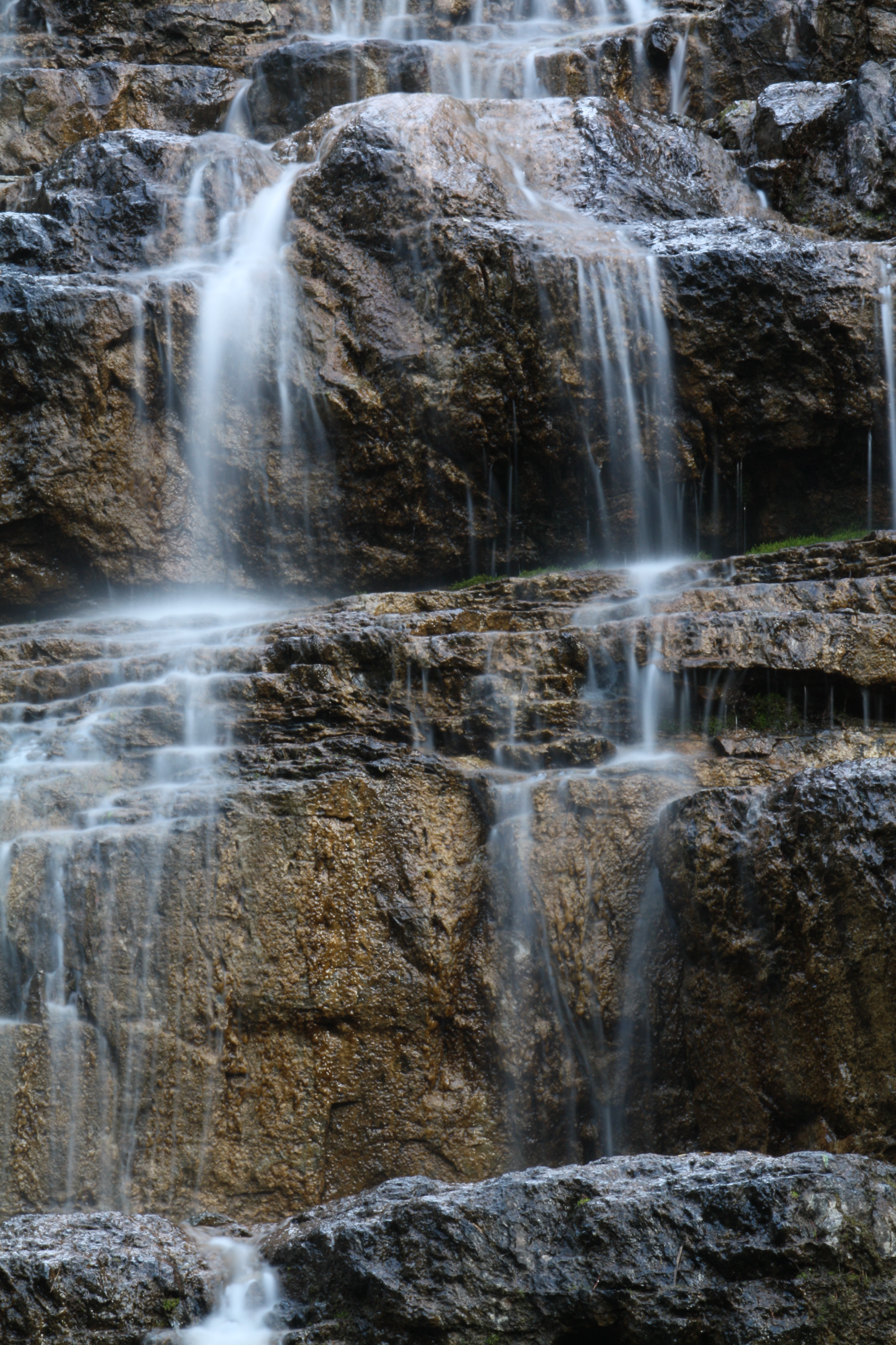
Water Cascade Long Exposure
Topographic Map of Patrol Ridge South, Montana, USA
Find elevation by address:

Places near Patrol Ridge South, Montana, USA:
Patrol Ridge
Trinity Mountain South
Red Plume Mountain
Wildrose Mountain
Square Mountain
Horseshoe Peak
Slippery Bill Mountain North
Slippery Bill Mountain South
171 Slippery Bill Rd
Forster Mountain
252 Slippery Bill Rd
Devils Hump
Twin Mountain
Blacktail
Vinegar Mountain
Elkcalf Mountain
Crescent Cliff
Mount Furlong
16900 Us-2
Many Glacier Hotel
Recent Searches:
- Elevation of Corso Fratelli Cairoli, 35, Macerata MC, Italy
- Elevation of Tallevast Rd, Sarasota, FL, USA
- Elevation of 4th St E, Sonoma, CA, USA
- Elevation of Black Hollow Rd, Pennsdale, PA, USA
- Elevation of Oakland Ave, Williamsport, PA, USA
- Elevation of Pedrógão Grande, Portugal
- Elevation of Klee Dr, Martinsburg, WV, USA
- Elevation of Via Roma, Pieranica CR, Italy
- Elevation of Tavkvetili Mountain, Georgia
- Elevation of Hartfords Bluff Cir, Mt Pleasant, SC, USA