Elevation of Pates Hill Rd, Mosheim, TN, USA
Location: United States > Tennessee > Greene County > Mosheim >
Longitude: -83.040812
Latitude: 36.097577
Elevation: 345m / 1132feet
Barometric Pressure: 97KPa
Elevation Map:
Satellite Map:
Related Photos:

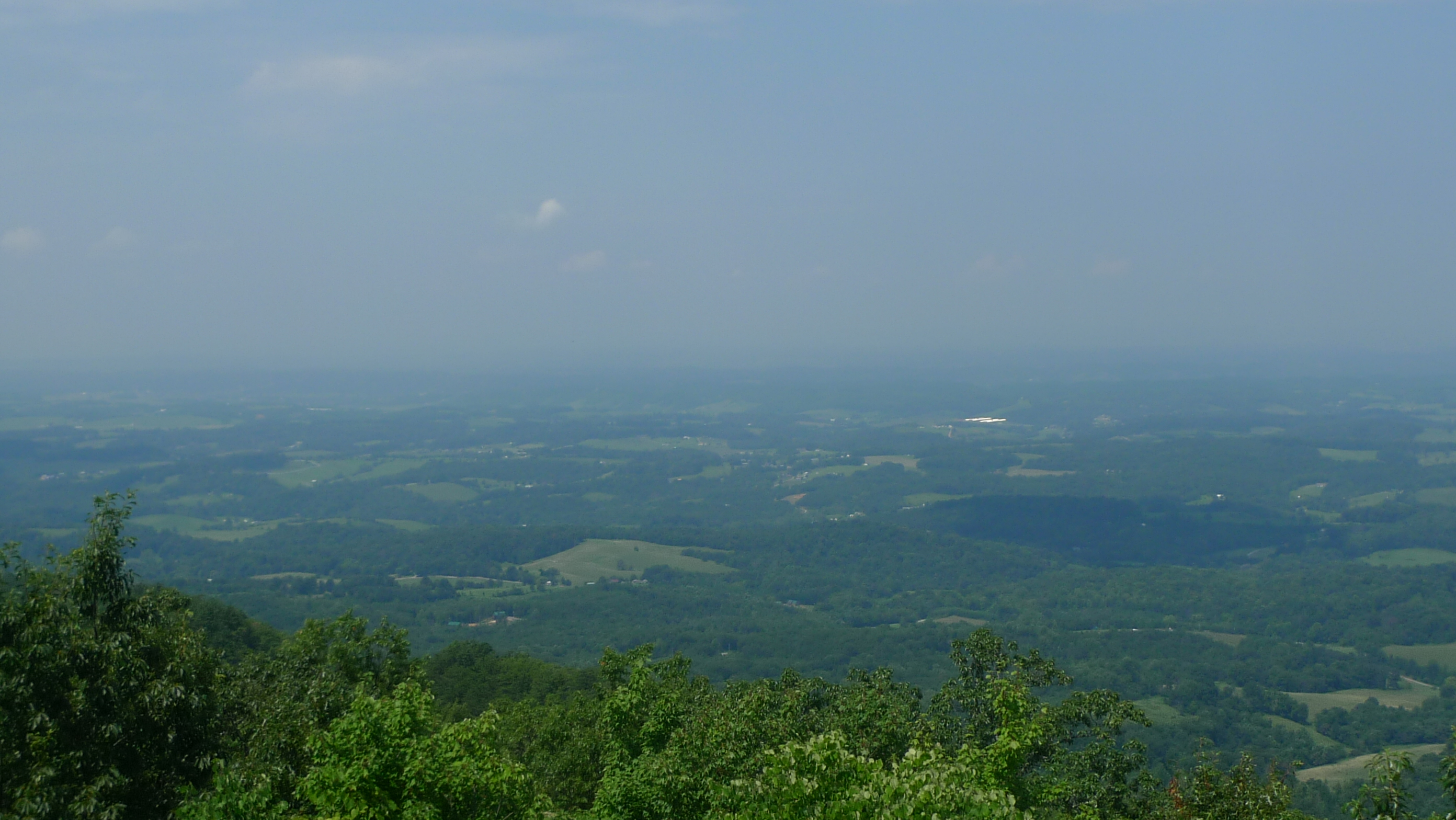
View from Meadow Creek Lookout
View to North from Meadow Creek Lookout

Parrottsville Country

Lick Creek, Greene County, TN

Beautiful Horse Farm in East Tennessee

Fallow field and barn - Not much farming these days.
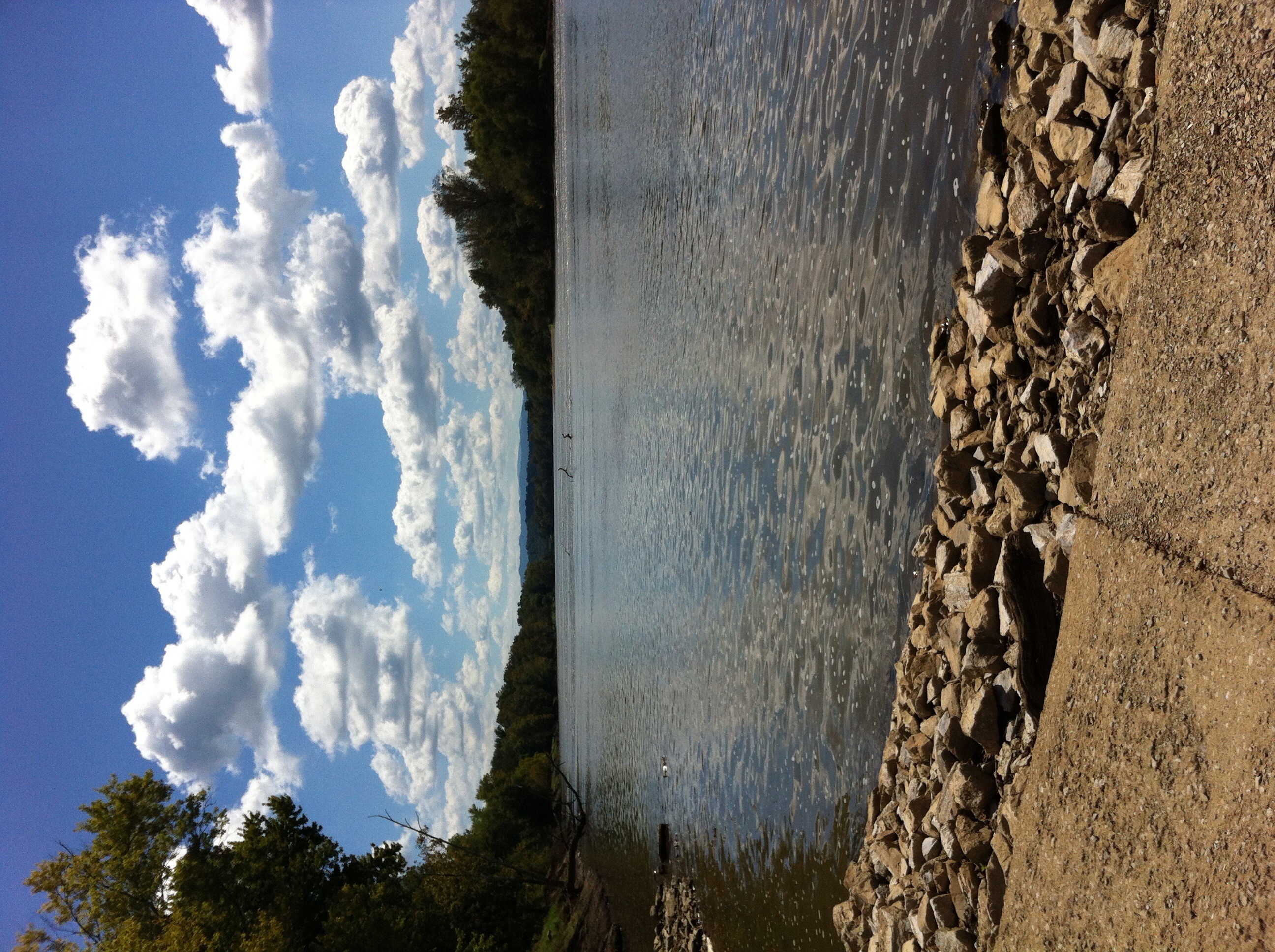
French Broad River
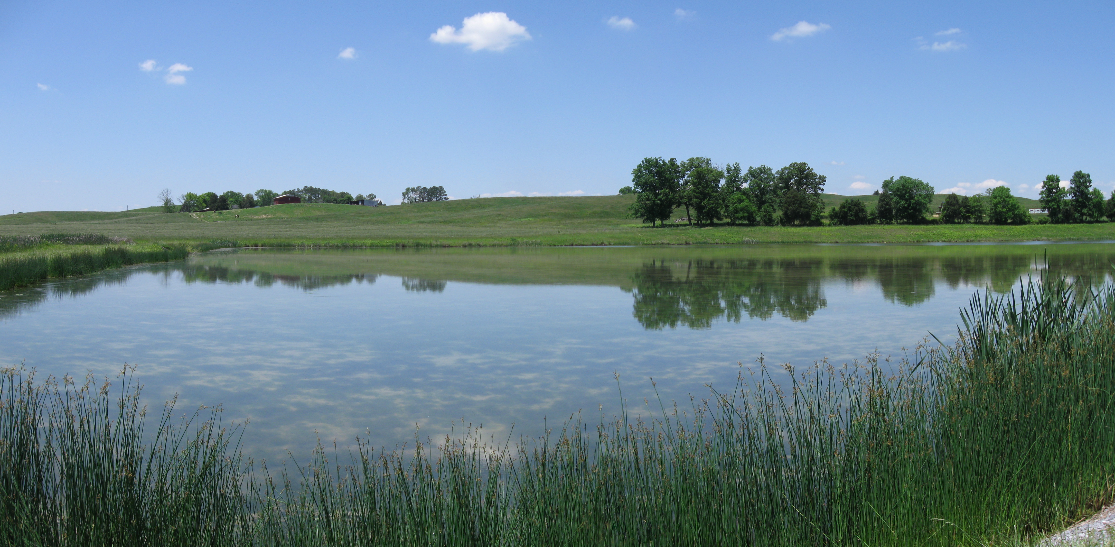
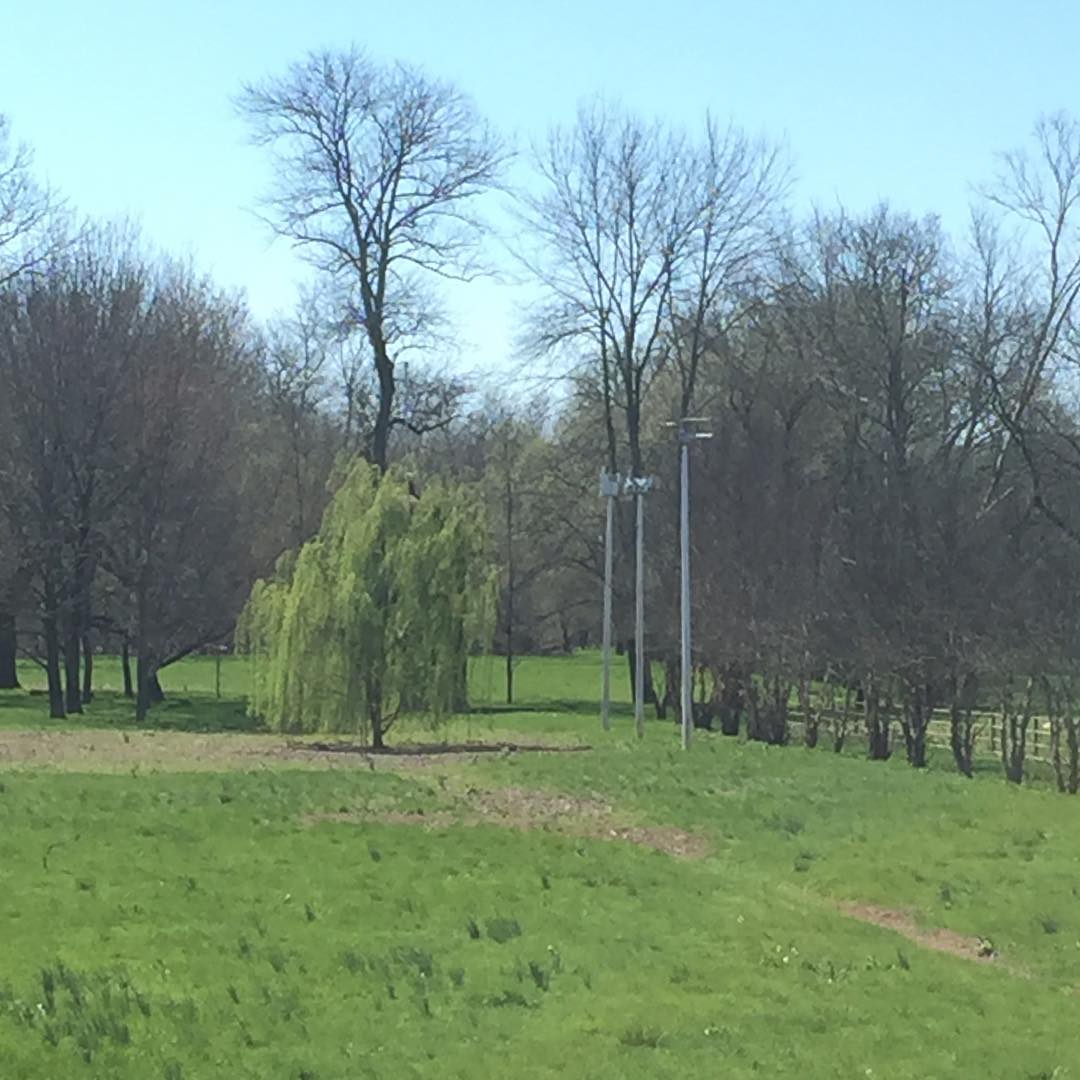
Midway Pastoral
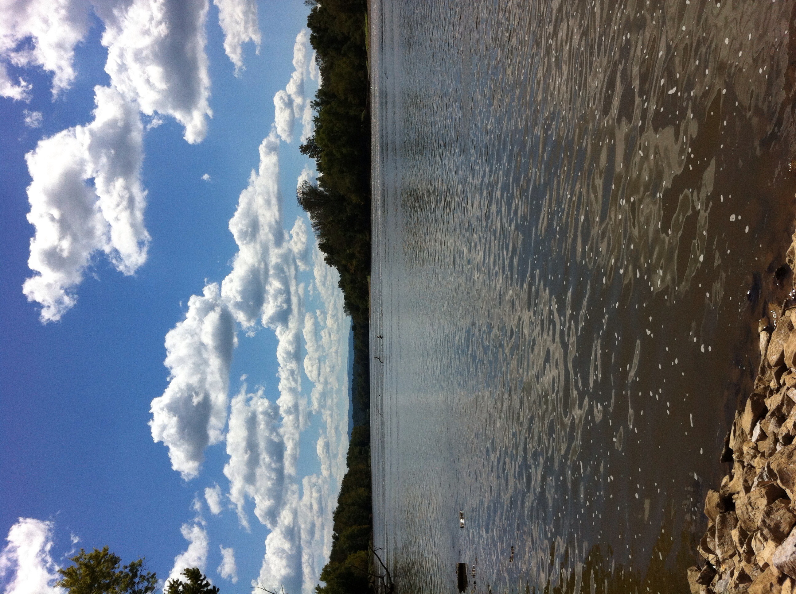
French Broad River

Tiger Moth
DC 6039

IMG_1012.JPG
#birdhouse #birdwatching #birdhouseproject
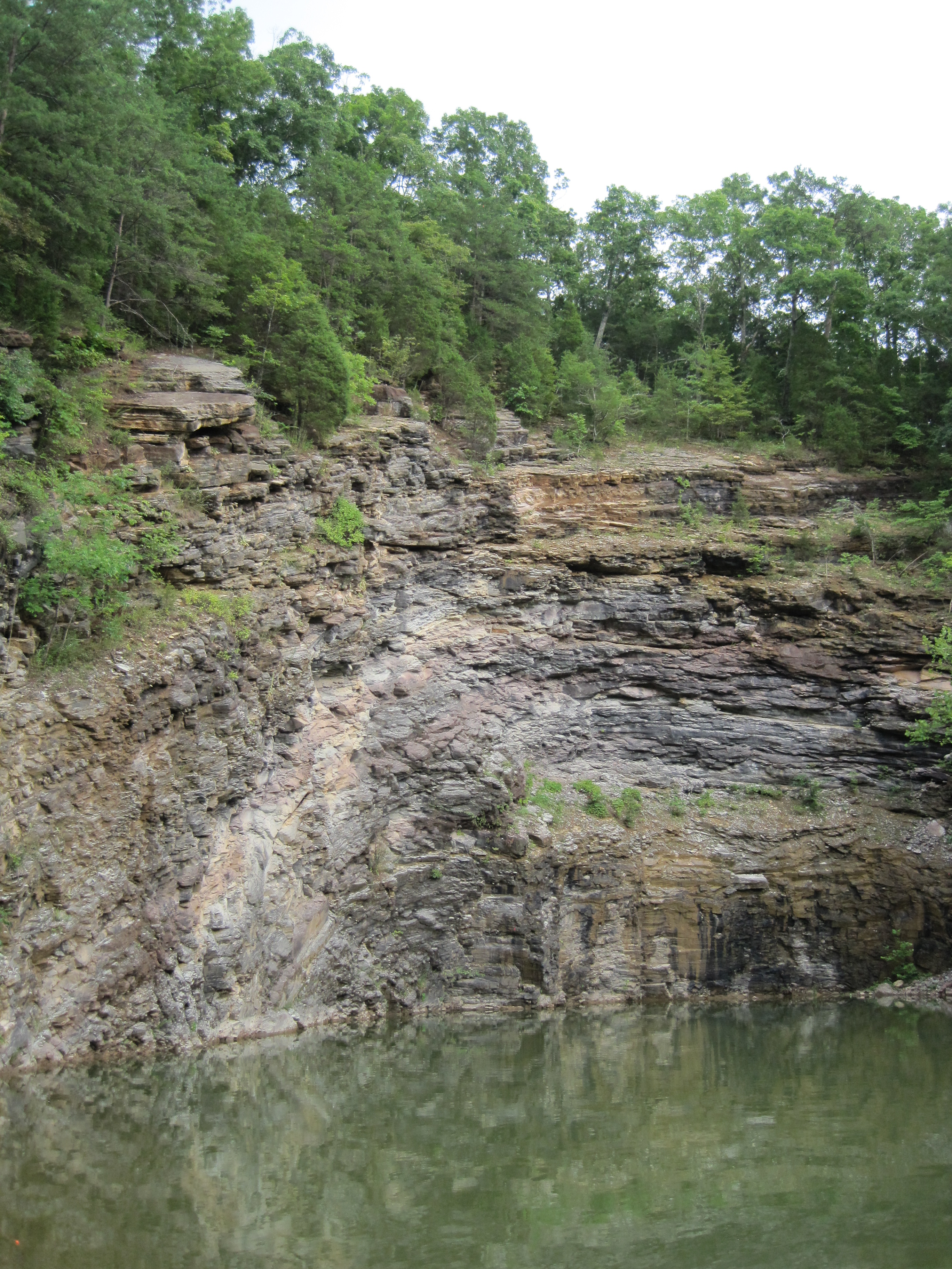
Stone Mtn. Quarry

IMG_0612.JPG

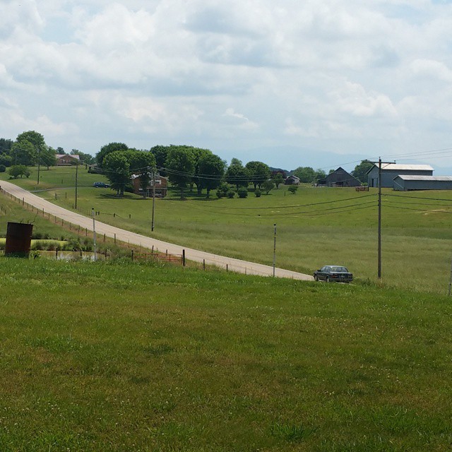
Countrry Road
Out with mom day

matt and his goat
Topographic Map of Pates Hill Rd, Mosheim, TN, USA
Find elevation by address:

Places near Pates Hill Rd, Mosheim, TN, USA:
545 Oven Creek Ln
12315 Warrensburg Rd
1302 E Stage Coach Rd
1763 Goodwater Rd
Luther Memorial Road
10 W Hogan Ln
241 E Stage Coach Rd
505 W Hogan Ln
Culbertson Rd, Greeneville, TN, USA
255 Loftis Rd
Parrottsville, TN, USA
1428 Goodwater Rd
1030 Creek Rd
3405 Little Chuckey Rd
1346 Goodwater Rd
6765 Warrensburg Rd
1244 Bruner Grove Rd
6660 Warrensburg Rd
Murray Bridge Road
1172 Palmer Hollow Rd
Recent Searches:
- Elevation of Corso Fratelli Cairoli, 35, Macerata MC, Italy
- Elevation of Tallevast Rd, Sarasota, FL, USA
- Elevation of 4th St E, Sonoma, CA, USA
- Elevation of Black Hollow Rd, Pennsdale, PA, USA
- Elevation of Oakland Ave, Williamsport, PA, USA
- Elevation of Pedrógão Grande, Portugal
- Elevation of Klee Dr, Martinsburg, WV, USA
- Elevation of Via Roma, Pieranica CR, Italy
- Elevation of Tavkvetili Mountain, Georgia
- Elevation of Hartfords Bluff Cir, Mt Pleasant, SC, USA