Elevation of Paso del Sapo, Chubut Province, Argentina
Location: Argentina > Chubut Province >
Longitude: -69.608303
Latitude: -42.735080
Elevation: 393m / 1289feet
Barometric Pressure: 97KPa
Elevation Map:
Satellite Map:
Related Photos:
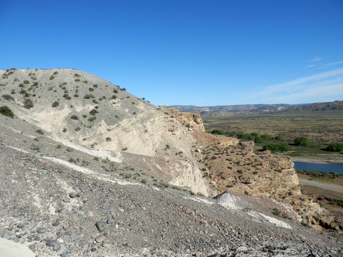
Formaciones Paso del Sapo (Cretácico superior) y Collon Cura (Mioceno)
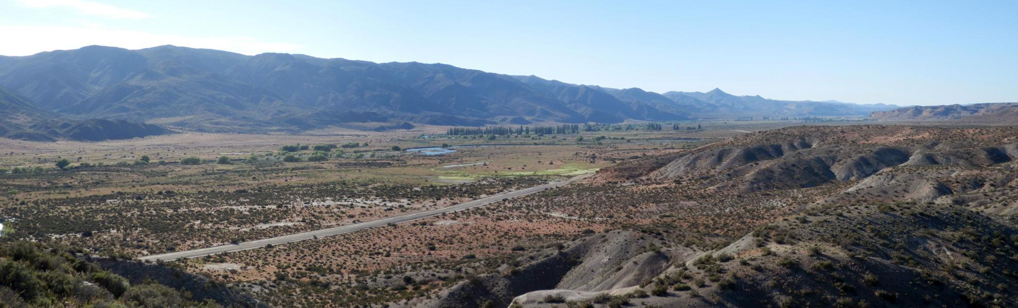
Valle del río Chubut al oeste de Paso del Sapo
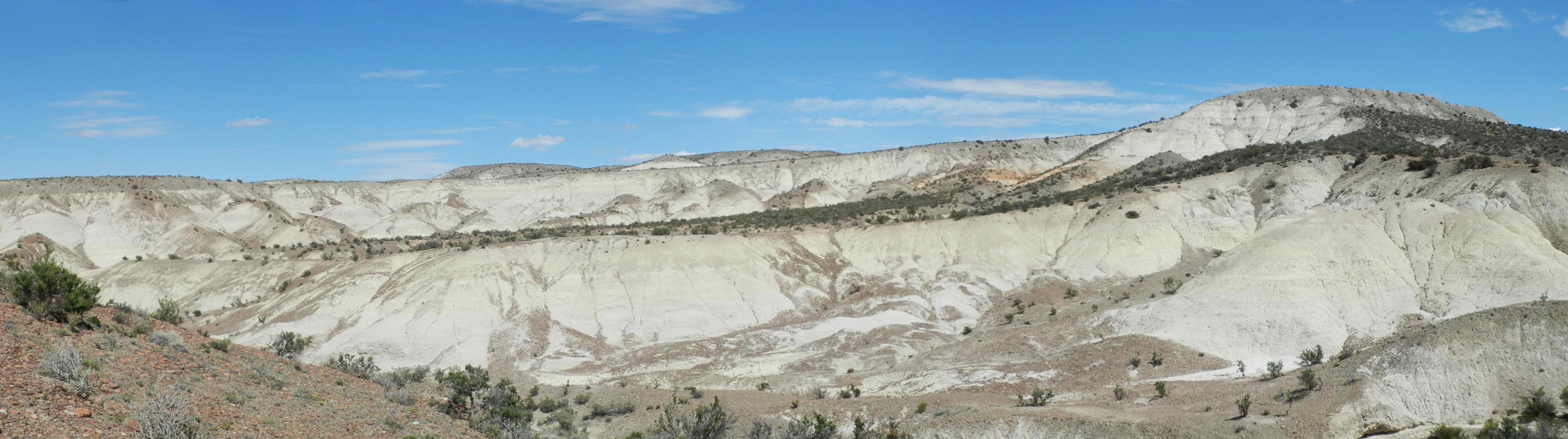
Valle de mamíferos miocenos
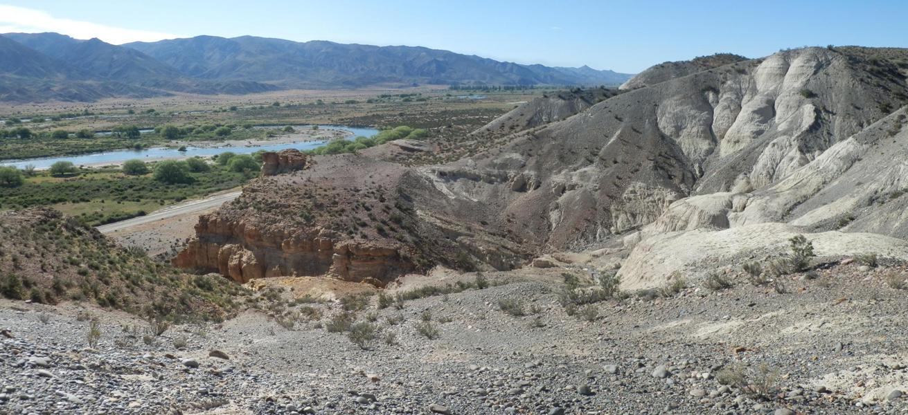
Alturas sobre el río Chubut
Topographic Map of Paso del Sapo, Chubut Province, Argentina
Find elevation by address:

Recent Searches:
- Elevation of Corso Fratelli Cairoli, 35, Macerata MC, Italy
- Elevation of Tallevast Rd, Sarasota, FL, USA
- Elevation of 4th St E, Sonoma, CA, USA
- Elevation of Black Hollow Rd, Pennsdale, PA, USA
- Elevation of Oakland Ave, Williamsport, PA, USA
- Elevation of Pedrógão Grande, Portugal
- Elevation of Klee Dr, Martinsburg, WV, USA
- Elevation of Via Roma, Pieranica CR, Italy
- Elevation of Tavkvetili Mountain, Georgia
- Elevation of Hartfords Bluff Cir, Mt Pleasant, SC, USA