Elevation of Paso de San Antonio, S.L.P., Mexico
Location: Mexico > San Luis Potosi >
Longitude: -100.37527
Latitude: 22.0174999
Elevation: 1229m / 4032feet
Barometric Pressure: 87KPa
Elevation Map:
Satellite Map:
Related Photos:

Imagen 609

Atardeceres que enamoran.
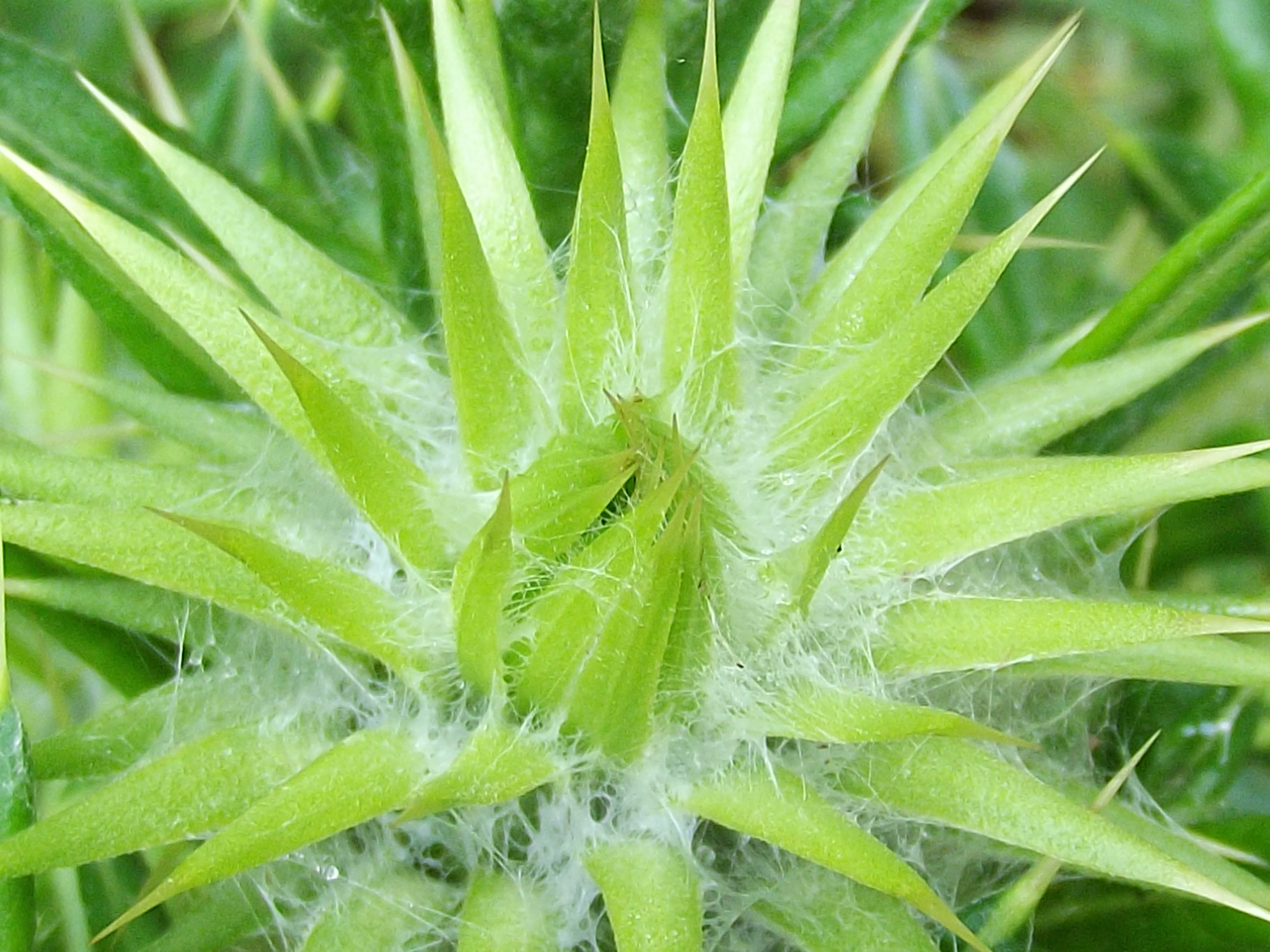
Imagen 583

route 70 between rio verde and san luis potosi
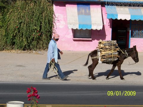
route 70 between rio verde and san luis potosi
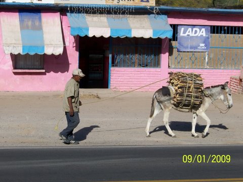
route 70 between rio verde and san luis potosi
Topographic Map of Paso de San Antonio, S.L.P., Mexico
Find elevation by address:

Places near Paso de San Antonio, S.L.P., Mexico:
Guadalupe Victoria 4, Cieneguillas, S.L.P., Mexico
Cieneguillas
Villa Juárez
Calle Matamoros, Villa Juárez, S.L.P., Mexico
Villa Juarez
El Jabalí
Laguna De La Media Luna
Rioverde
Calle Ignacio Zaragoza 25, Centro, Ejido del Centro, S.L.P., Mexico
Centro
Tierra Nueva
San Luis Potosí - Santiago de Querétaro, San Luis Potosí, Mexico
Santa Maria Del Rio
San Luis Potosí - Santiago de Querétaro, San Luis Potosí, Mexico
Cerritos
Villa Hidalgo
San Luis Potosí
San Leonel 1ra Sección
Taninul
Centro Historico
Recent Searches:
- Elevation of Corso Fratelli Cairoli, 35, Macerata MC, Italy
- Elevation of Tallevast Rd, Sarasota, FL, USA
- Elevation of 4th St E, Sonoma, CA, USA
- Elevation of Black Hollow Rd, Pennsdale, PA, USA
- Elevation of Oakland Ave, Williamsport, PA, USA
- Elevation of Pedrógão Grande, Portugal
- Elevation of Klee Dr, Martinsburg, WV, USA
- Elevation of Via Roma, Pieranica CR, Italy
- Elevation of Tavkvetili Mountain, Georgia
- Elevation of Hartfords Bluff Cir, Mt Pleasant, SC, USA