Elevation of Pasawahan, Cicurug, Sukabumi, West Java, Indonesia
Location: Indonesia > West Java > Sukabumi > Cicurug >
Longitude: 106.755900
Latitude: -6.7456119
Elevation: 789m / 2589feet
Barometric Pressure: 92KPa
Elevation Map:
Satellite Map:
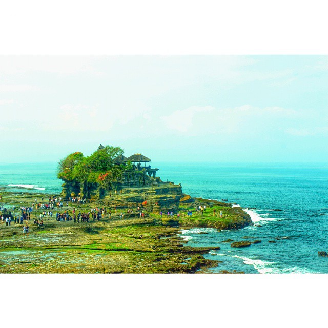
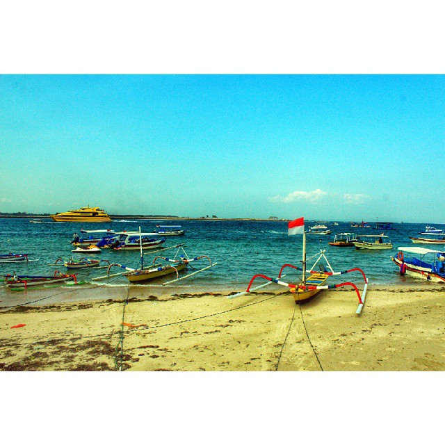
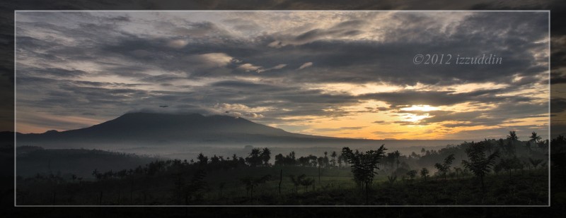
Related Photos:
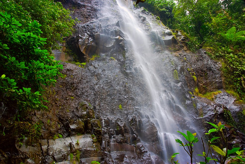
Another view of Curug Cigamea
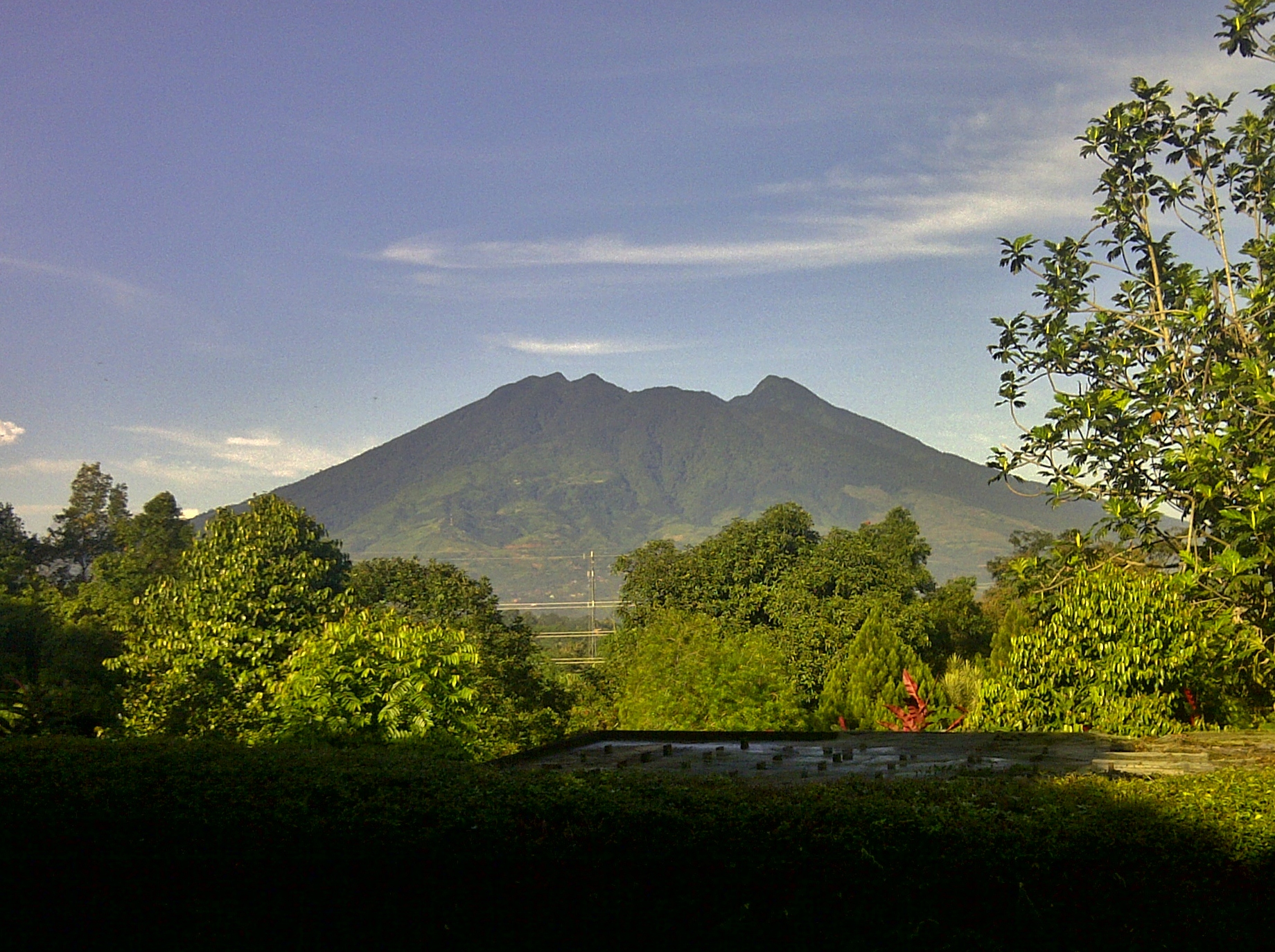
A View of Mount Salak, West Java
View Gunung Salak.
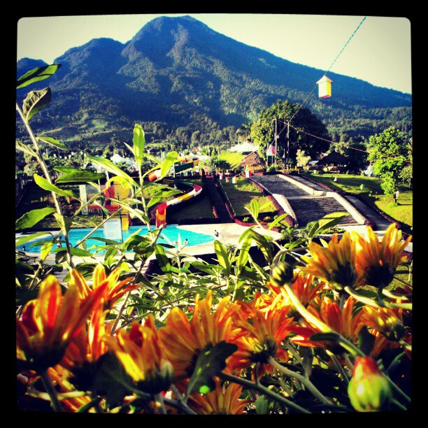
#Swimming #Pool #Good #View #In #Neo+ #Green #Savana #Hotel #Sentul #City

18/365: Videography
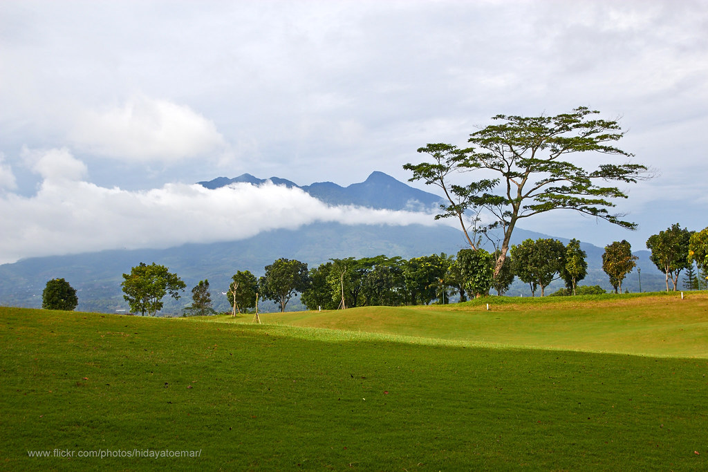
Rancamaya Panorama View

Starting A Trip Traveling Escaping From The Heat Enjoying The View Exploring People Escaping Sightseeing Selfies On A Holiday at Stop, One Way Puncak
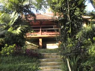
Rumah A (Saung Wira)
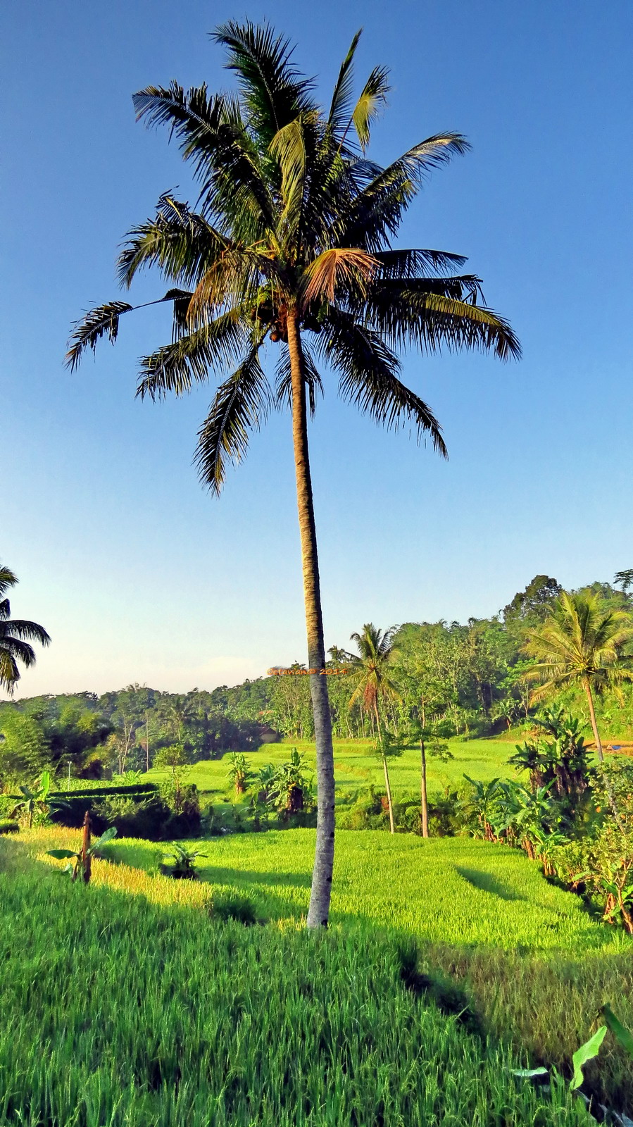
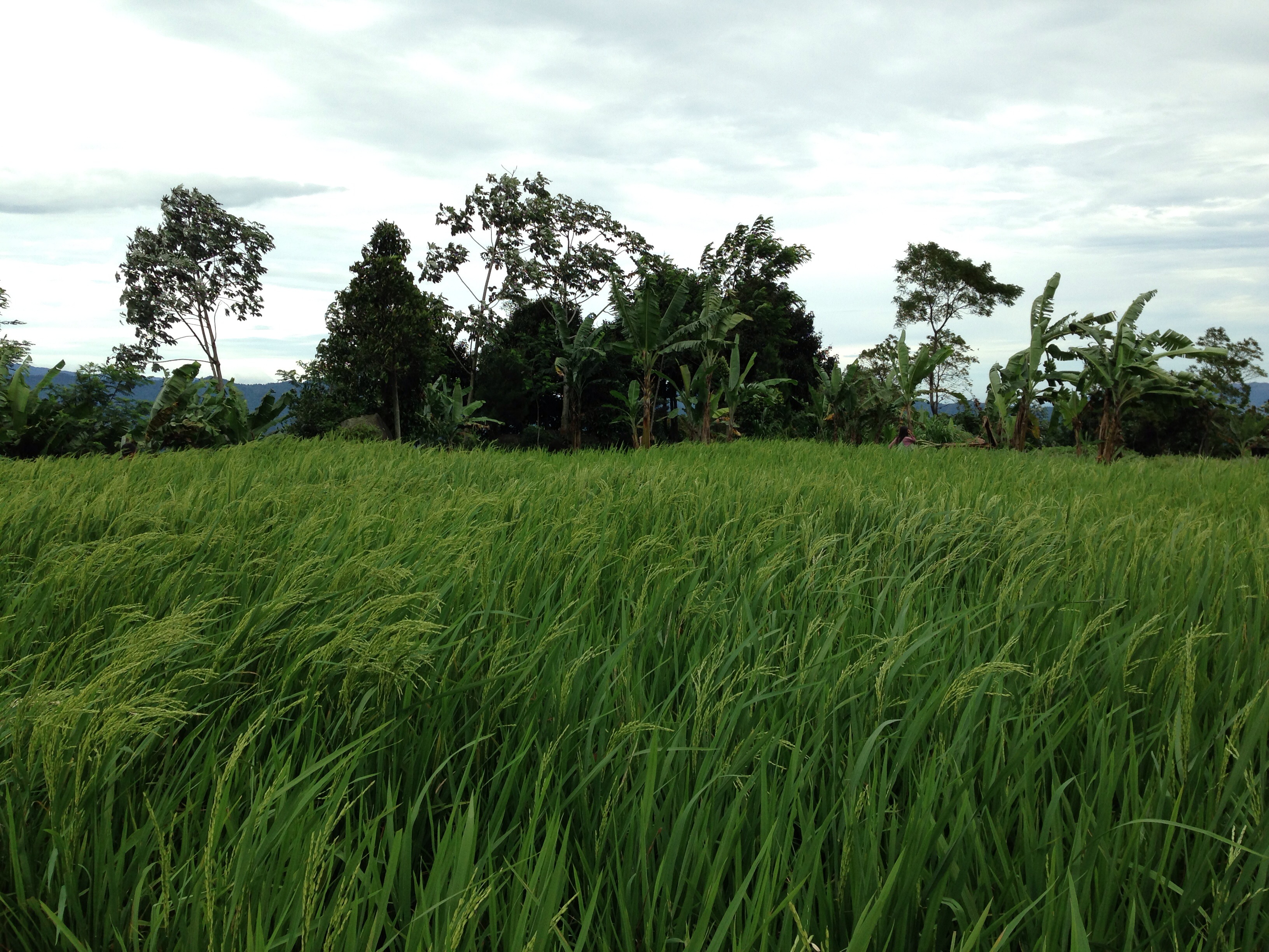
Towering Coconut Tree guarding the Padi Field

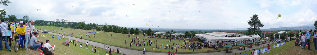
Olahraga rakyat
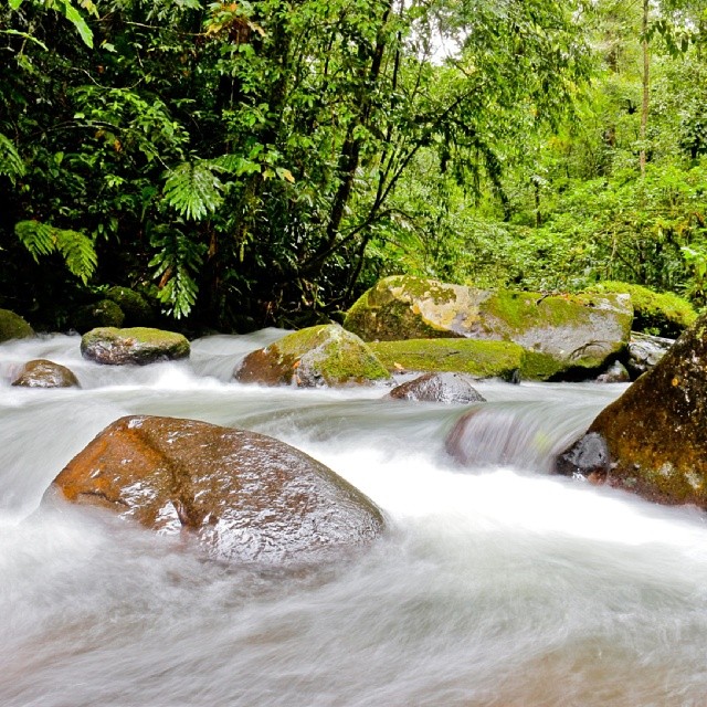
A river in tropical forest at mt Halimun-Salak, Sukabumi.
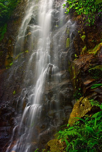
Curug Cigamea (Cigamea Waterfall)
#landscape #latepost

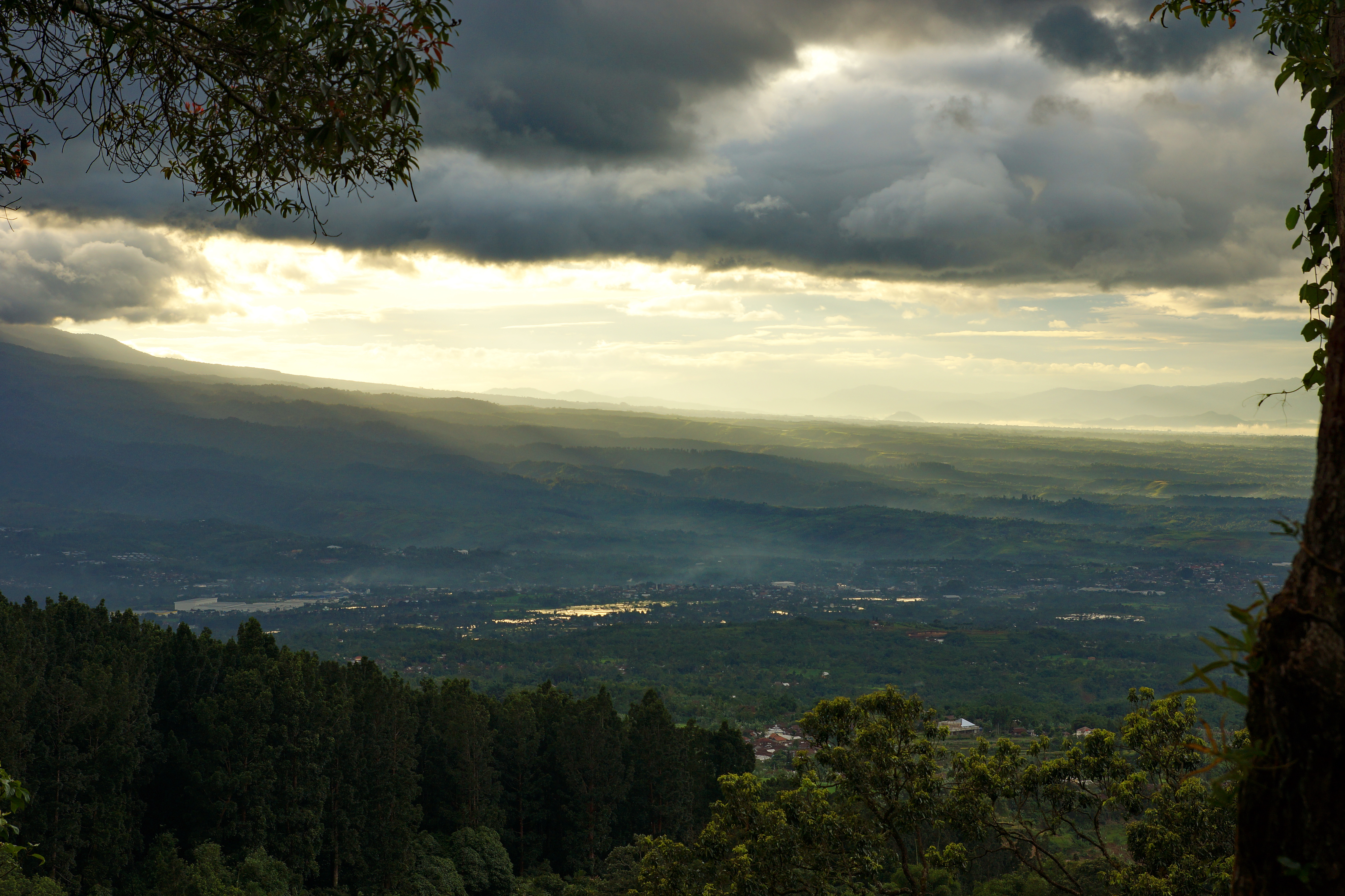
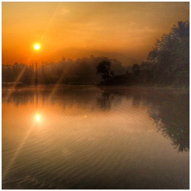
Lanscape of the lake in mount Salak
Sunny morning
Mendung pagi di Cidahu

di curug nangka, bogor
With HDR effect #landscape
#landscape #latepost
Gede-Pangrango
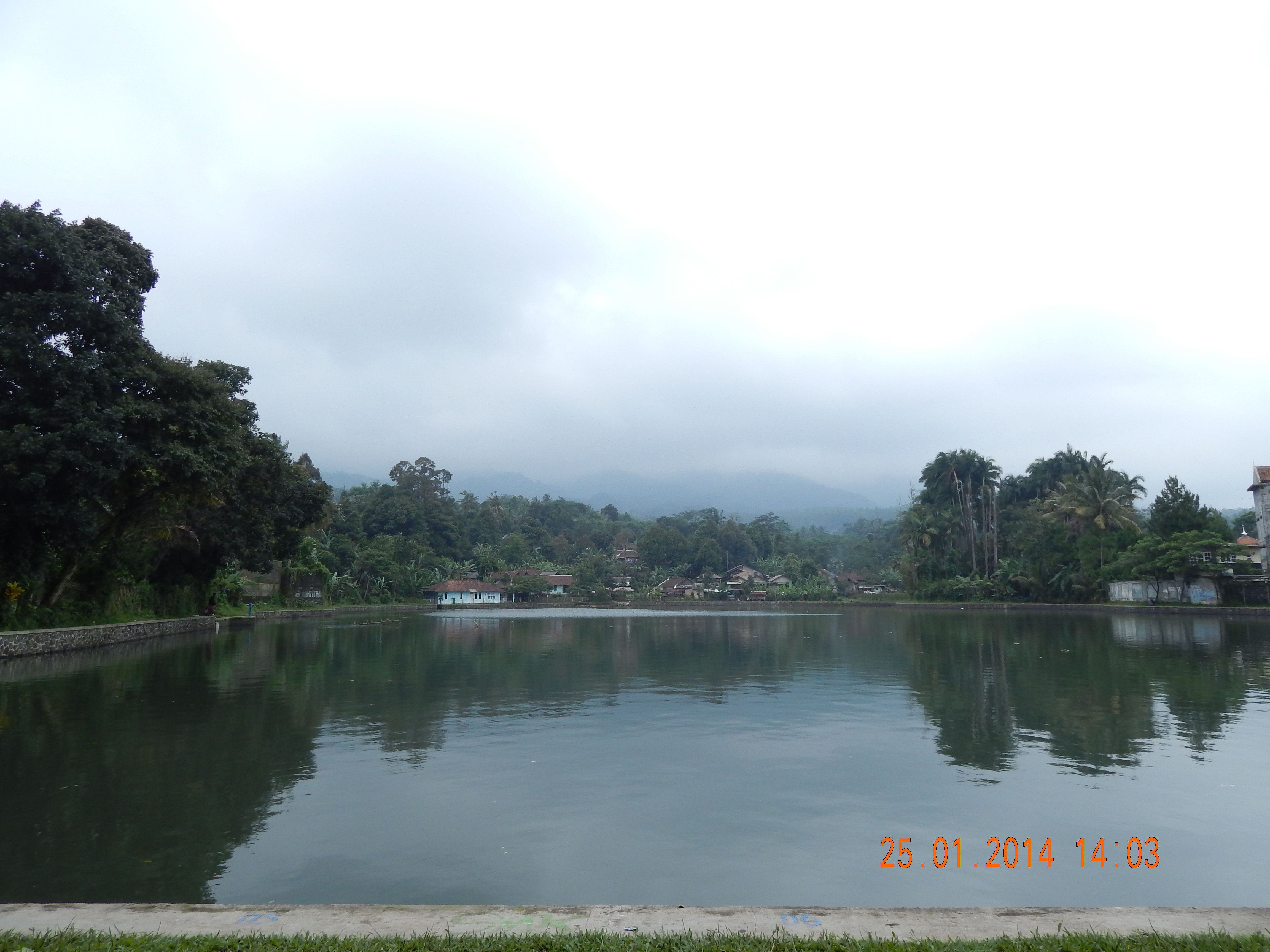
Telaga di Tamansari , ciapus bogor
Late sunrise #photooftheday #landscape #instanusantara #reposting_world #sky #instagood #mountain #nature #iphone #thebest_capture #gi_skylove #loves_world #indonesia_photography #insta_sky_reflection
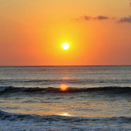
sunset 2013
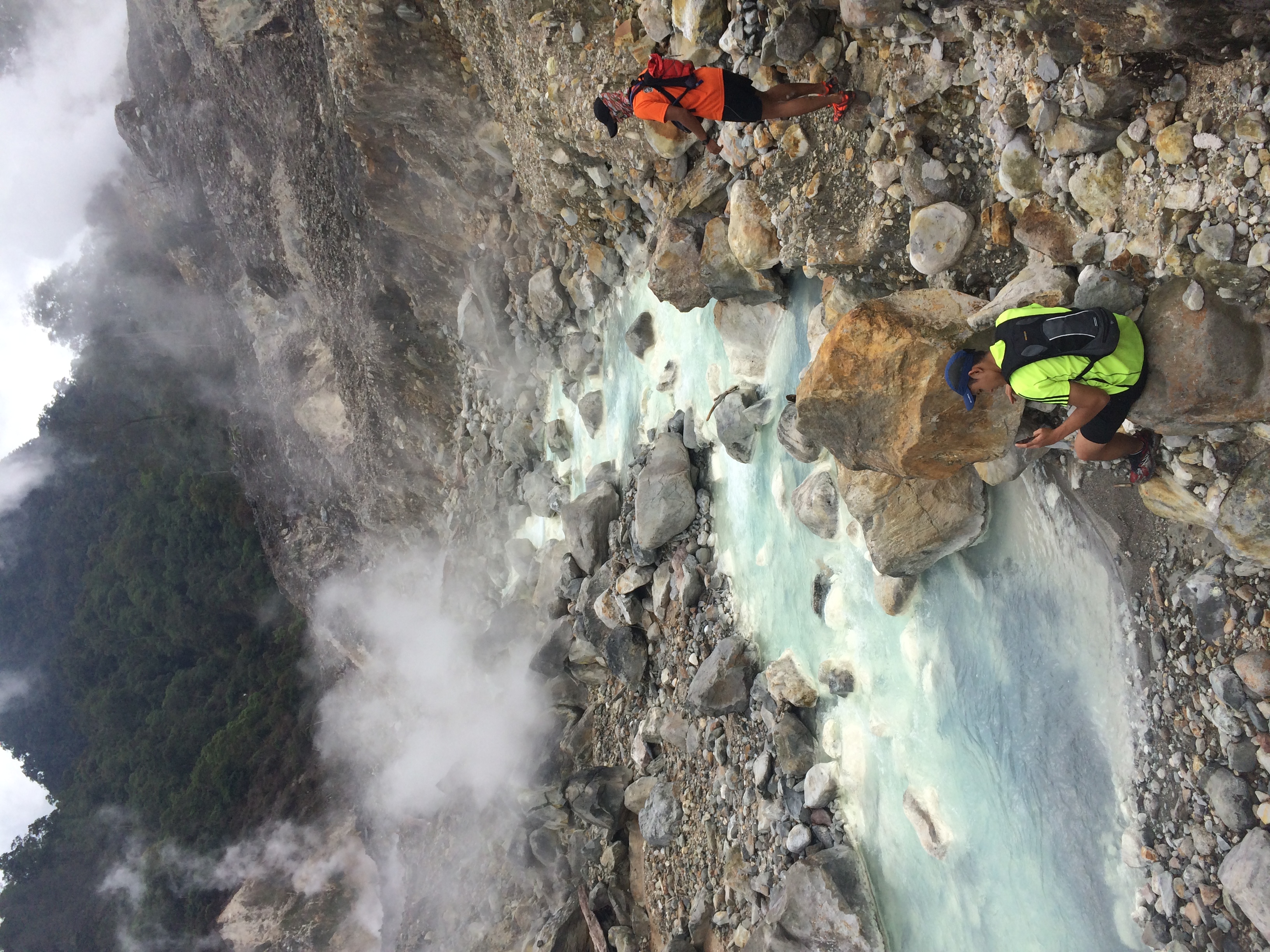
Trail Run Taman Nasional Gunung Salak 20 April 2014
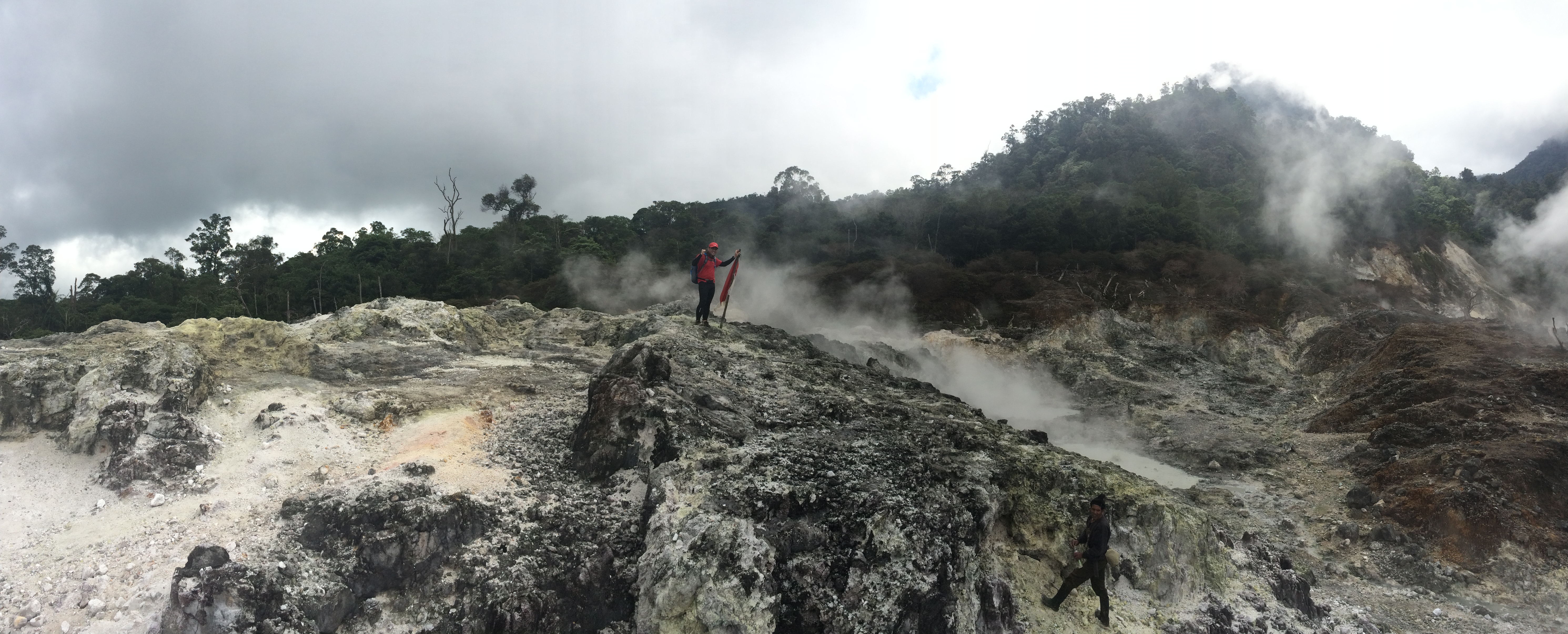
Trail Run Taman Nasional Gunung Salak 20 April 2014
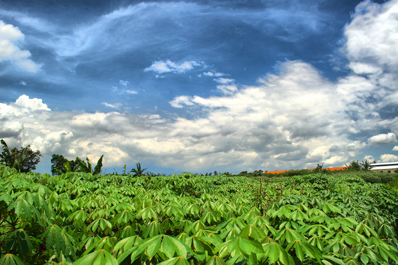
Kebun singkong
Gunung bunder, bunder mountain, bogor, indonesia
Topographic Map of Pasawahan, Cicurug, Sukabumi, West Java, Indonesia
Find elevation by address:

Places in Pasawahan, Cicurug, Sukabumi, West Java, Indonesia:
Places near Pasawahan, Cicurug, Sukabumi, West Java, Indonesia:
Mount Salak
Cicurug
Prehistoric Sites Arca Domas Cibalay
Sukamantri
Tenjolaya
Rancamaya
Jalan Raya Cimanglid
Tamansari
Rancamaya Golfclub
Mulyaharja
Kertamaya
Rivela Park Luxury Residence
Rt 02
The Jungle Water Adventure
Rt 05
Rt 02
Rancamaya Golf Estate
South Bogor
Rt 01
Pakuan Hill Cluster Livistona
Recent Searches:
- Elevation of Corso Fratelli Cairoli, 35, Macerata MC, Italy
- Elevation of Tallevast Rd, Sarasota, FL, USA
- Elevation of 4th St E, Sonoma, CA, USA
- Elevation of Black Hollow Rd, Pennsdale, PA, USA
- Elevation of Oakland Ave, Williamsport, PA, USA
- Elevation of Pedrógão Grande, Portugal
- Elevation of Klee Dr, Martinsburg, WV, USA
- Elevation of Via Roma, Pieranica CR, Italy
- Elevation of Tavkvetili Mountain, Georgia
- Elevation of Hartfords Bluff Cir, Mt Pleasant, SC, USA