Elevation of Parvathamalai Trail, Parvathiamalai R.F., Tamil Nadu, India
Location: India > Tamil Nadu > Tiruvannamalai >
Longitude: 78.9782667
Latitude: 12.4327838
Elevation: 427m / 1401feet
Barometric Pressure: 96KPa
Elevation Map:
Satellite Map:
Related Photos:
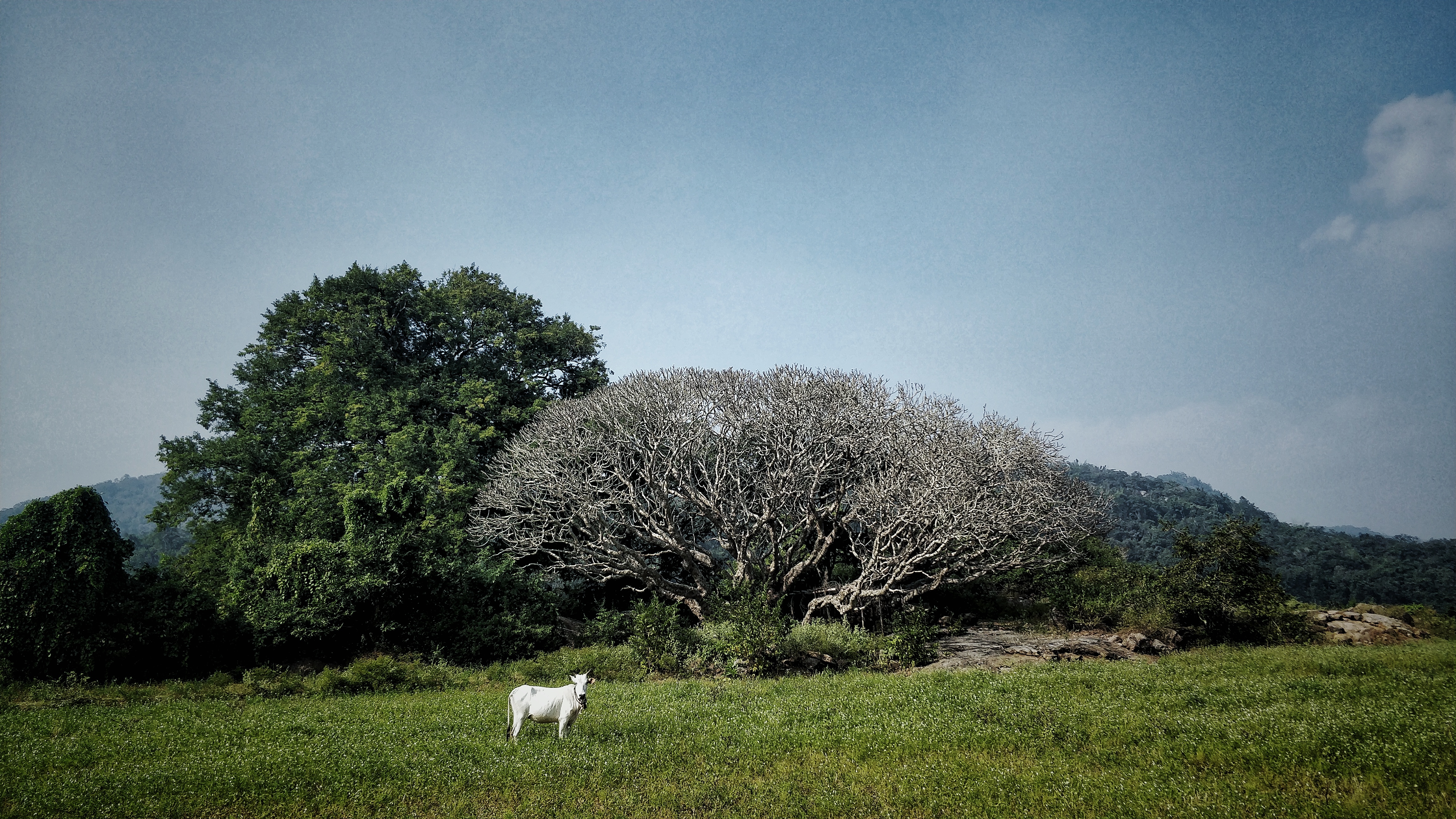
Mobile Photography | Javadhu Hills | TamilNadu

Mobile Photography | Javadhu Hills | TamilNadu

My Hero Tyler stayed behind with me on the way up Mt. Arunachala - We made it to the top!
Topographic Map of Parvathamalai Trail, Parvathiamalai R.F., Tamil Nadu, India
Find elevation by address:

Places near Parvathamalai Trail, Parvathiamalai R.F., Tamil Nadu, India:
Vidobha Ashram
Mallikarjuna Swamy Temple
Parvathamalai Top
Thenmathimangalam
Tiruvannamalai
Polur
Sri Sathya Sai Road
Jamunamarathur
Jawadhu Hills
Mulakaddu R.f.
Beeman Falls
Javadi Hills
Vainu Bappu Observatory
Bheemakulam
Tiruvannamalai Temple
Tiruvannamalai
Arunachala
Alangayam
Gingee Fort
Tamil Nadu, India
Recent Searches:
- Elevation of Corso Fratelli Cairoli, 35, Macerata MC, Italy
- Elevation of Tallevast Rd, Sarasota, FL, USA
- Elevation of 4th St E, Sonoma, CA, USA
- Elevation of Black Hollow Rd, Pennsdale, PA, USA
- Elevation of Oakland Ave, Williamsport, PA, USA
- Elevation of Pedrógão Grande, Portugal
- Elevation of Klee Dr, Martinsburg, WV, USA
- Elevation of Via Roma, Pieranica CR, Italy
- Elevation of Tavkvetili Mountain, Georgia
- Elevation of Hartfords Bluff Cir, Mt Pleasant, SC, USA