Elevation of Parque Nacional Madidi, Franz Tamayo, Bolivia
Location: Bolivia > La Paz Department > Franz Tamayo > Apolo >
Longitude: -68.333927
Latitude: -14.189209
Elevation: 1434m / 4705feet
Barometric Pressure: 85KPa
Elevation Map:
Satellite Map:
Related Photos:

Cows in the Pampas
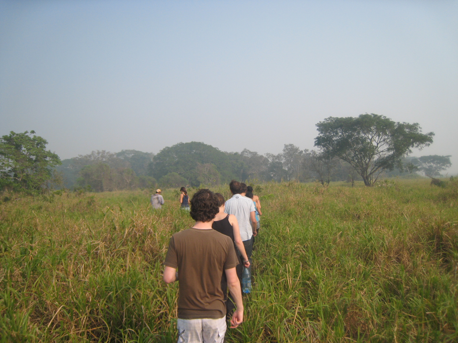
Into the Pampas in Bolivia
Topographic Map of Parque Nacional Madidi, Franz Tamayo, Bolivia
Find elevation by address:

Places near Parque Nacional Madidi, Franz Tamayo, Bolivia:
Recent Searches:
- Elevation of Corso Fratelli Cairoli, 35, Macerata MC, Italy
- Elevation of Tallevast Rd, Sarasota, FL, USA
- Elevation of 4th St E, Sonoma, CA, USA
- Elevation of Black Hollow Rd, Pennsdale, PA, USA
- Elevation of Oakland Ave, Williamsport, PA, USA
- Elevation of Pedrógão Grande, Portugal
- Elevation of Klee Dr, Martinsburg, WV, USA
- Elevation of Via Roma, Pieranica CR, Italy
- Elevation of Tavkvetili Mountain, Georgia
- Elevation of Hartfords Bluff Cir, Mt Pleasant, SC, USA