Elevation of Park Road, Park Rd, Dereham NR19, UK

Location: United Kingdom > Norfolk >

Longitude: 0.9436951

Latitude: 52.6830092

Elevation: 56m / 184feet

Barometric Pressure: 101KPa

Elevation Map:

elevation map of Park Road, Park Rd, Dereham NR19, UK

Satellite Map:

Satellite map of Park Road, Park Rd, Dereham NR19, UK

Related Photos:

ringland norfolk wensum flood flooded valley above aerial nikon hires highresolution hirez highdefinition hidef britainfromtheair britainfromabove skyview aerialimage aerialphotography aerialimagesuk aerialview viewfromplane aerialengland britain johnfieldingaerialimages fullformat johnfieldingaerialimage johnfielding fromtheair fromthesky flyingover fullframe cidessus antenne hauterésolution hautedéfinition vueaérienne imageaérienne photographieaérienne drone vuedavion delair birdseyeview british english d850 river anglia eastanglia
Ringland & flooded Wensum valley - aerial image
sundownfestival norfolk showground norfolkshowground musicfestival norwich above aerial nikon d810 hires highresolution hirez highdefinition hidef britainfromtheair britainfromabove skyview aerialimage aerialphotography aerialimagesuk aerialview drone viewfromplane aerialengland britain johnfieldingaerialimages fullformat johnfieldingaerialimage johnfielding fromtheair fromthesky flyingover fullframe cidessus antenne hauterésolution hautedéfinition vueaérienne imageaérienne photographieaérienne vuedavion delair sundownuk tents tentcity
Aerial view of the Sundown Festival at Norfolk Showground in Norwich
ringland norfolk wensum flood flooded valley above aerial nikon hires highresolution hirez highdefinition hidef britainfromtheair britainfromabove skyview aerialimage aerialphotography aerialimagesuk aerialview viewfromplane aerialengland britain johnfieldingaerialimages fullformat johnfieldingaerialimage johnfielding fromtheair fromthesky flyingover fullframe cidessus antenne hauterésolution hautedéfinition vueaérienne imageaérienne photographieaérienne drone vuedavion delair birdseyeview british english d850 river theswan pub publichouse swanpub eastanglia anglia
Ringland, the Swan pub & flooded Wensum valley - aerial image
swantonmorley church aerial norfolk highdefinition hidef highresolution hires hirez britainfromabove britainfromtheair viewfromplane aerialphotography aerialimage aerialphotograph aerialimagesuk aerialview
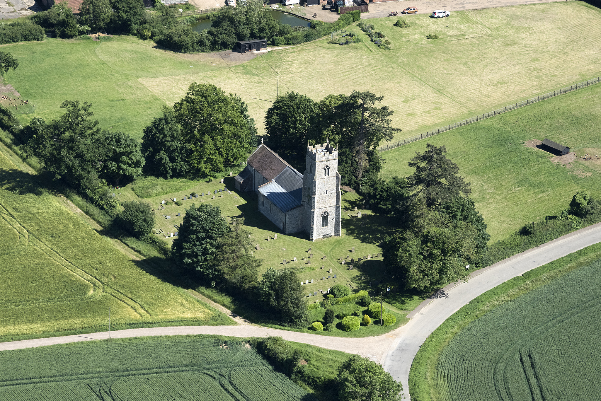
Swanton Morley All Saints Church aerial
stmarys church ruin norfolk tower
great melton ruin
langleypreparatoryschoolattaverhamhall taverhamhall school norfolk above aerial nikon d810 hires highresolution hirez highdefinition hidef britainfromtheair britainfromabove skyview aerialimage aerialphotography aerialimagesuk aerialview drone viewfromplane aerialengland britain johnfieldingaerialimages fullformat johnfieldingaerialimage johnfielding
Langley Preparatory School at Taverham Hall - aerial
lynxbus kingslynn midnorfolkrailway dereham leylandnational ufx852s norfolk
MNR Bus & Coach Day - Lynxbus 152 County School Station 230417 (3)
norfolk church architecture village booton stmichael stmichaelthearchangel gothic e510 above aerial hires highresolution hirez highdefinition hidef britainfromtheair britainfromabove skyview aerialimage aerialphotography aerialimagesuk aerialview drone viewfromplane aerialengland britain johnfieldingaerialimages johnfieldingaerialimage johnfielding fromtheair fromthesky flyingover birdseyeview
Aerial view of the Church of St. Michael the Archangel in Booton, Norfolk.
peelingscoaches kingslynn tittleshall westlexham volvob10m62 vanhool n175lhu c5oxf norfolk
Peelings Coaches N175 LHU 1330hrs King's Lynn to Tittleshall 050419
sanders fakenham dereham optaresolo mx07ntm norfolk
Sanders 204 0905hrs Fakenham to Dereham 130819
konectbus swantonmorley dereham norwich adlenviro400 norfolk
Konectbus 604 1040hrs Swanton Morley Robertson Barracks to Norwich 140717
blackwingedstilt stilt commonstilt pensthorpe norfolk pensthorpenaturereserve fakenham wader himantopus
Black-winged Stilt
aerial elsingmill elsing norfolk mill river wensum aerialphotography aerialimage aerialphotograph aerialimagesuk aerialview viewfromplane droneview britainfromabove britainfromtheair hirez highresolution hidef highdefinition hires britain
Elsing Mill on the River Wensum in Norfolk
barheadedgoose goose water bird pensthorpe pensthorpenaturereserve norfolk
'' Shhhhh !!! has anybody seen a ,, Bar-headed goose
church lyng norfolk aerial aerialimagesuk aerialview aerialphotograph aerialphotography aerialimage viewfromplane britainfromabove britainfromtheair hires hirez highdefinition hidef highresolution
The Fox pub & St Margaret Church in Lyng - Norfolk UK aerial
elsinghall moats moated moat mansion norfolk aerial eastanglia aerialphotography aerialimage aerialphotograph aerialimagesuk aerialview droneview viewfromplane britainfromabove britainfromtheair highdefinition hidef highresolution hirez hires
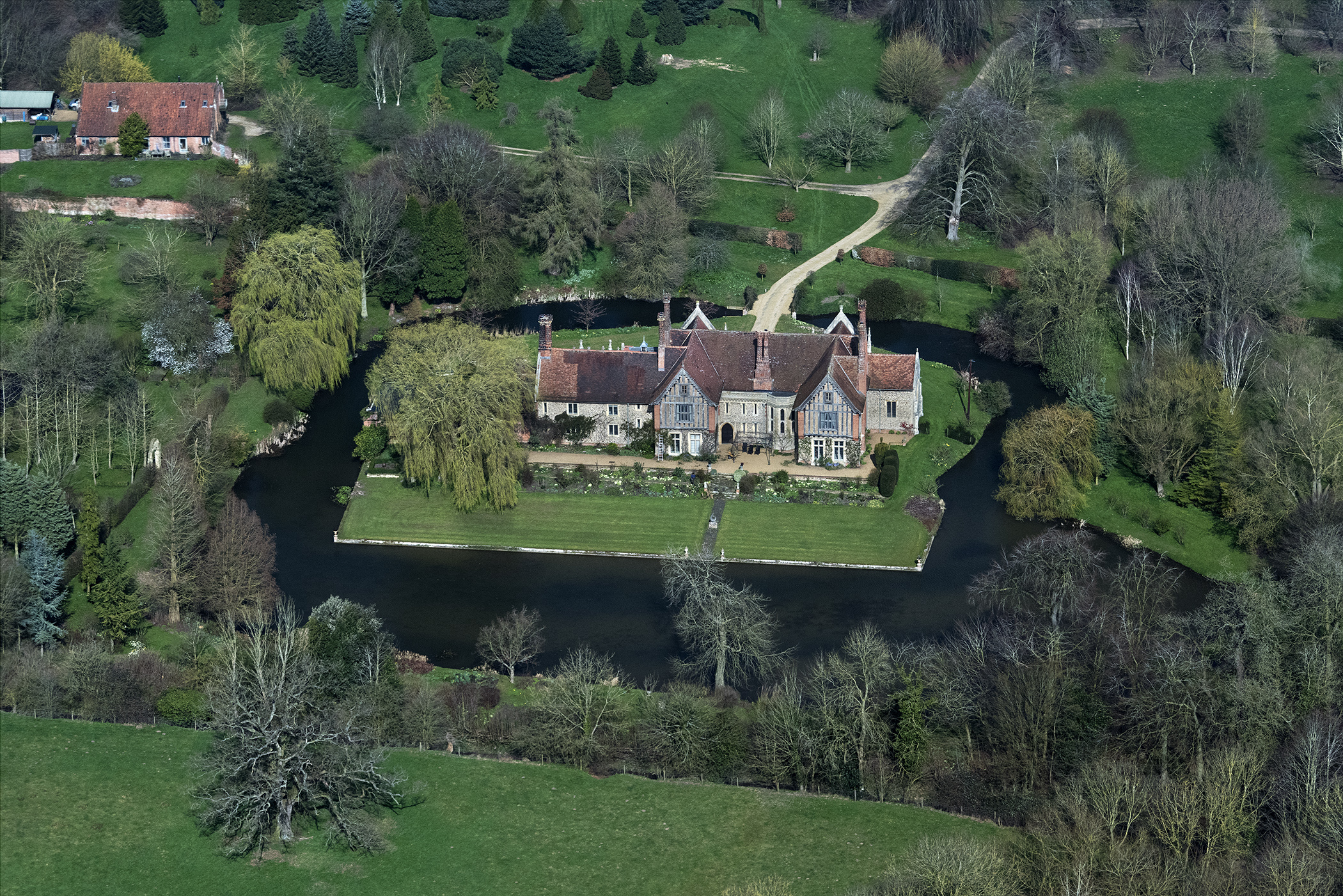
Elsing Hall in Norfolk - uk aerial image
hockering aerial church norfolk viewfromplane britainfromtheair britainfromabove hires hirez highresolution highdefinition hidef aerialview aerialimagesuk aerialphotograph aerialimage aerialphotography
Hockering St Michael church aerial
foxley church norfolk eastanglia england village aerialimagesuk aerialphotograph aerialimage aerial viewfromplane britainfromabove britainfromtheair hires highresolution hirez highdefinition hidef
Foxley St Thomas Church aerial image
welborne church norfolk aerial village viewfromplane britainfromabove britainfromtheair hirez highresolution hidef hires highdefinition aerialview aerialphotograph aerialimage aerialphotography aerialimagesuk
Welborne All Saints Church - aerial
sunset sky field clouds fuji power purple farming norfolk norwich powerline 12mm agriculture pylons xe1 samyang samyang12mm
Purple Sunset
north tuddenham field crop farm farming moody sky clouds countryside hay bale straw england norfolk landscape harvest
North Tuddenham field [218/365 2017]
greatbritain england abbey landscape spring norfolk springtime englishcountryside wymondham canonpowershots400 wymondhamabbey lightroom5 rivertiffy topazsw
Wymondham Abbey (1107) (HFF)
norfolk countryside nature sky field tree scenery scenic landscape ringland weston longville colton oil seed rape cloudy bike ride
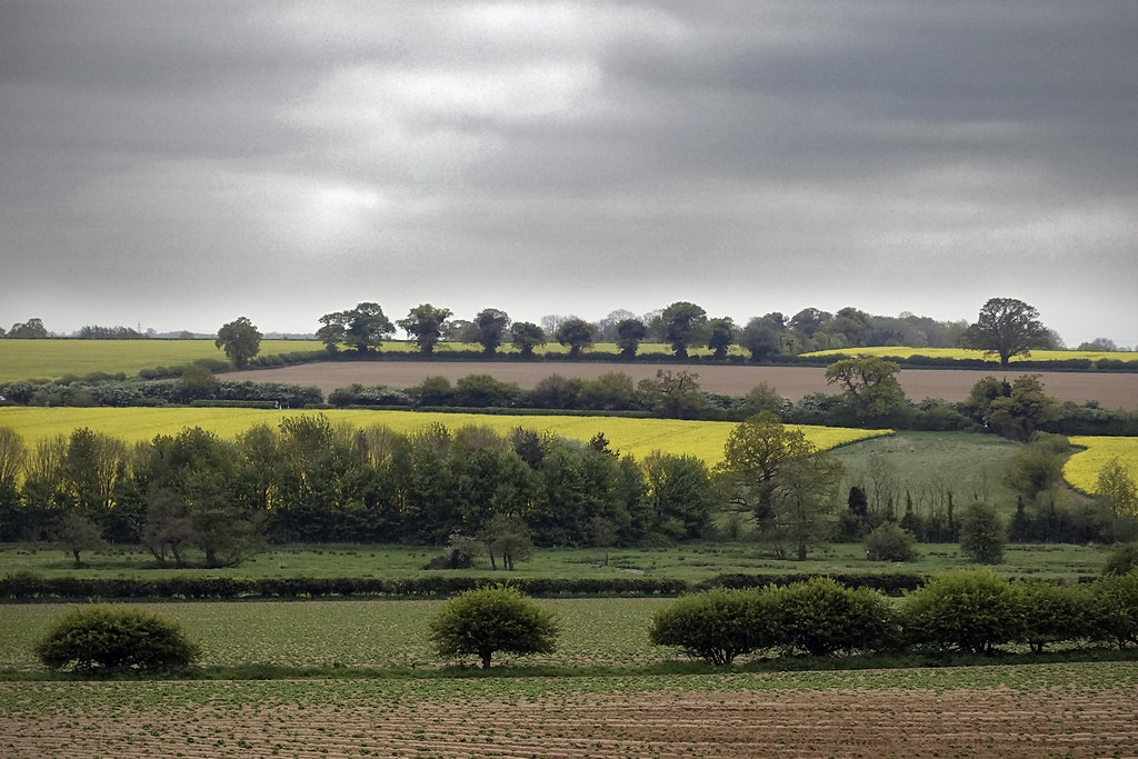
Norfolk Countryside [127/365 2017]
duststorms norfolk
Norfolk High Winds
roy scarlett bench marriotts way cropsprayer oil seed rape field gold farm farming norfolk landscape wind turbine tree sky cloud machinery red yellow sands agricultural machines sam horizon
Cropsprayer [119/365 2017]
green bernard turkey moss norfolk shed norwich matthews weston longville hockering
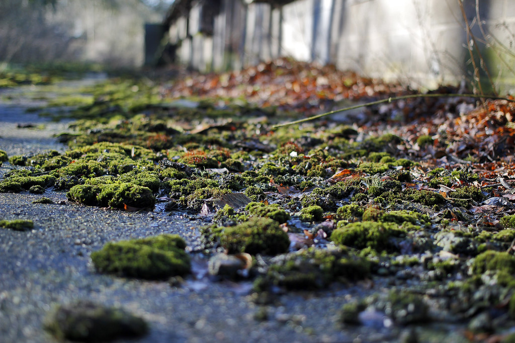
Dense green clumps [#52 115 in 2015 - Moss]
tree station train fallen norwich whitwell reepham lenwade marriottsway
Fallen Tree [7/52 Nature Theme]
norfolk chapel ruin ruinedchurch
First frost
elsinghall norfolk
Elsing Hall, Norfolk
tractor field norfolk 100v10f hay hockering reephamyoungfarmers
Tractor made of straw
field station train sheep norwich whitwell reepham lenwade marriottsway
Sheep [Project 365 2015 - 47/365]
swantonmorley church norfolk flint medieval eastanglia aerial aerialphotography aerialview aerialphotograph aerialimagesuk viewfromplane britainfromtheair britainfromabove hirez highresolution hidef hires highdefinition
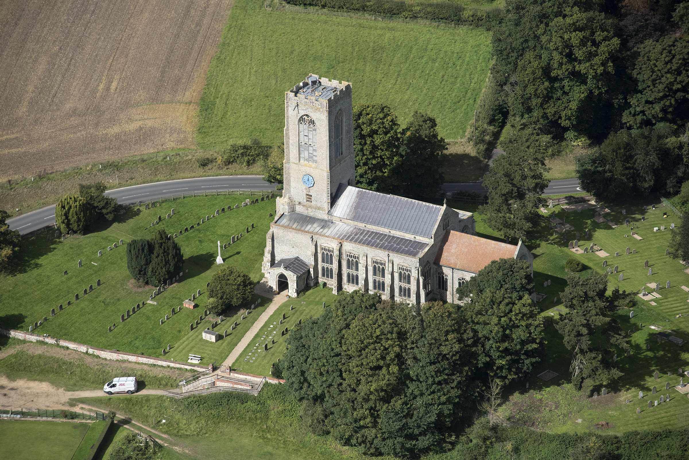
Aerial of All Saints Church in Swanton Morley - Norfolk UK
elsing norfolk aerial village uk aerialphotography aerialimage aerialphotograph aerialimagesuk aerialview viewfromplane droneview britainfromtheair britainfromabove highdefinition hidef highresolution hirez hires
Elsing in Norfolk - aerial image
church norfolk aerial stmaryschurch hackford
St Mary's Church in Hackford
langleypreparatoryschoolattaverhamhall taverhamhall school norfolk above aerial nikon d810 hires highresolution hirez highdefinition hidef britainfromtheair britainfromabove skyview aerialimage aerialphotography aerialimagesuk aerialview drone viewfromplane aerialengland britain johnfieldingaerialimages fullformat johnfieldingaerialimage johnfielding
Langley Preparatory School at Taverham Hall - aerial
norfolk eastanglia fens farm fenland uk england greatbritain hay trees countryside
Norfolk Countryside
uk bridge england english river britain norfolk eastanglia wensum ringland
River Wensum at Ringland
uk sky graveyard sony sigma
Graveyard at Swanton Morley