Elevation of Park Pl, Port Lavaca, TX, USA
Location: United States > Texas > Calhoun County > Port Lavaca >
Longitude: -96.619434
Latitude: 28.643864
Elevation: 6m / 20feet
Barometric Pressure: 101KPa
Elevation Map:
Satellite Map:
Related Photos:

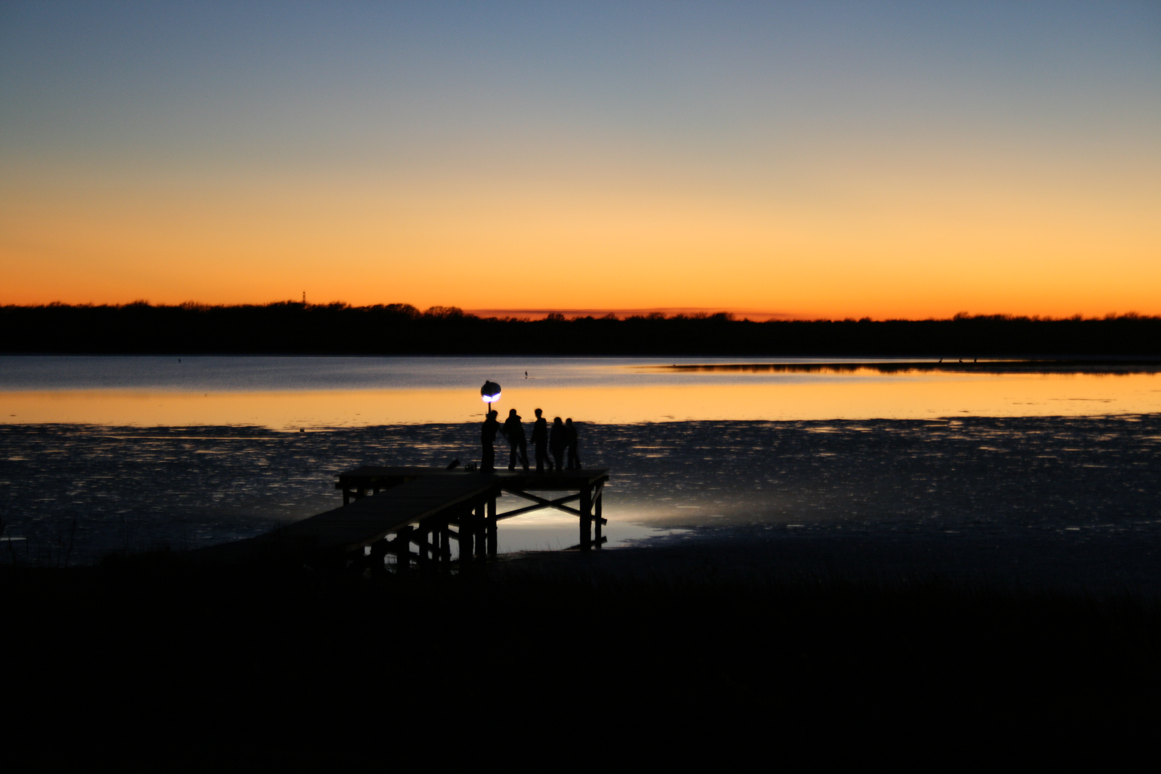
The Sunset at the Beachouse

Beautiful Colors
The Griffin's Pier

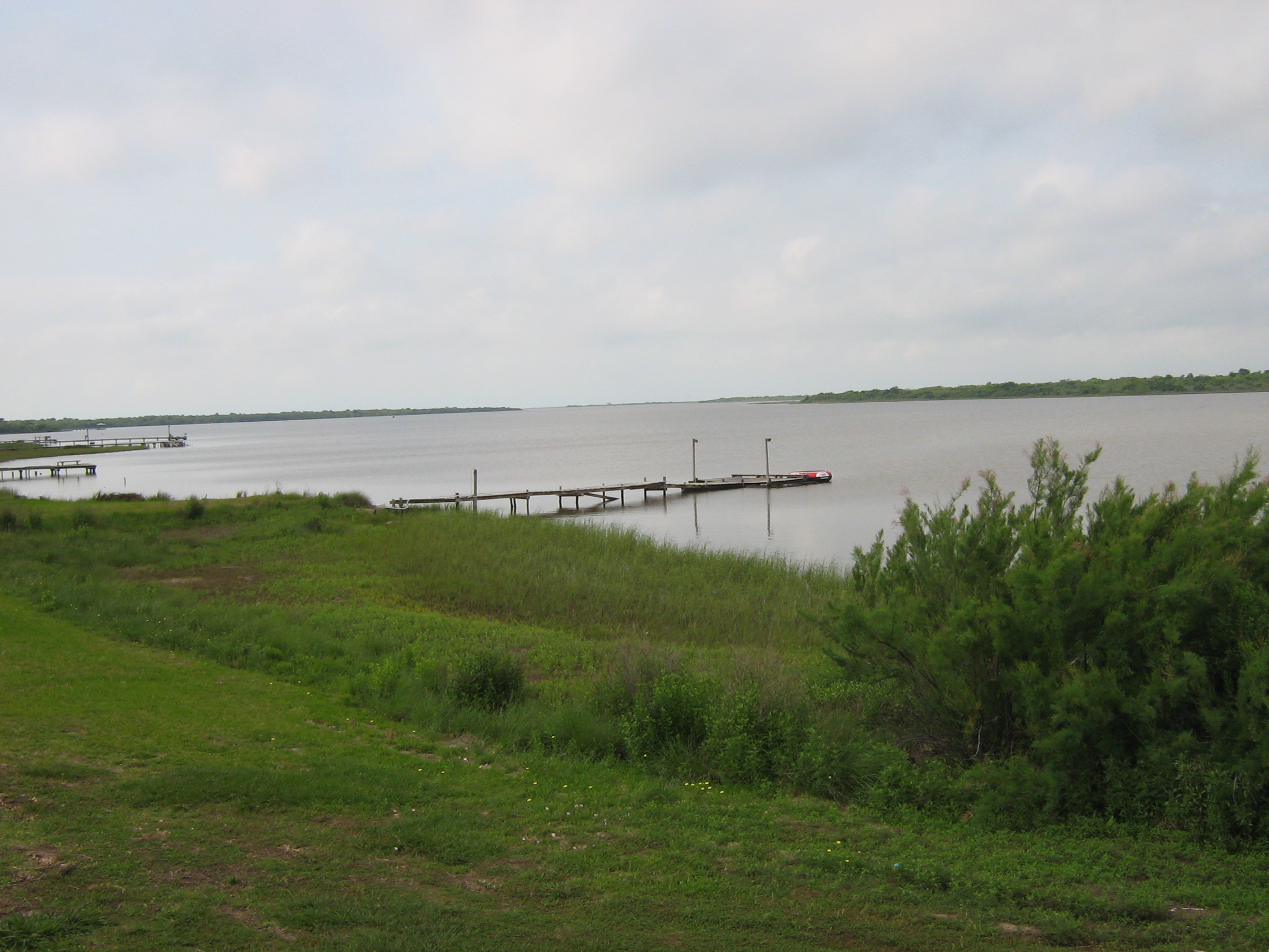
Lavaca Bay

Boardwalk View

Swamp Sparrow

20170919-OC-LSC-2033

20170919-OC-LSC-1427

20170919-OC-LSC-1823

20170919-OC-LSC-1410

20170919-OC-LSC-1287
Keller Bay

20170919-OC-LSC-1582
Port Lavaca, Texas

16 Sun Set

20170919-OC-LSC-1681

Clapper Rail Response

Magnolia Beach cacti...

FF10-68

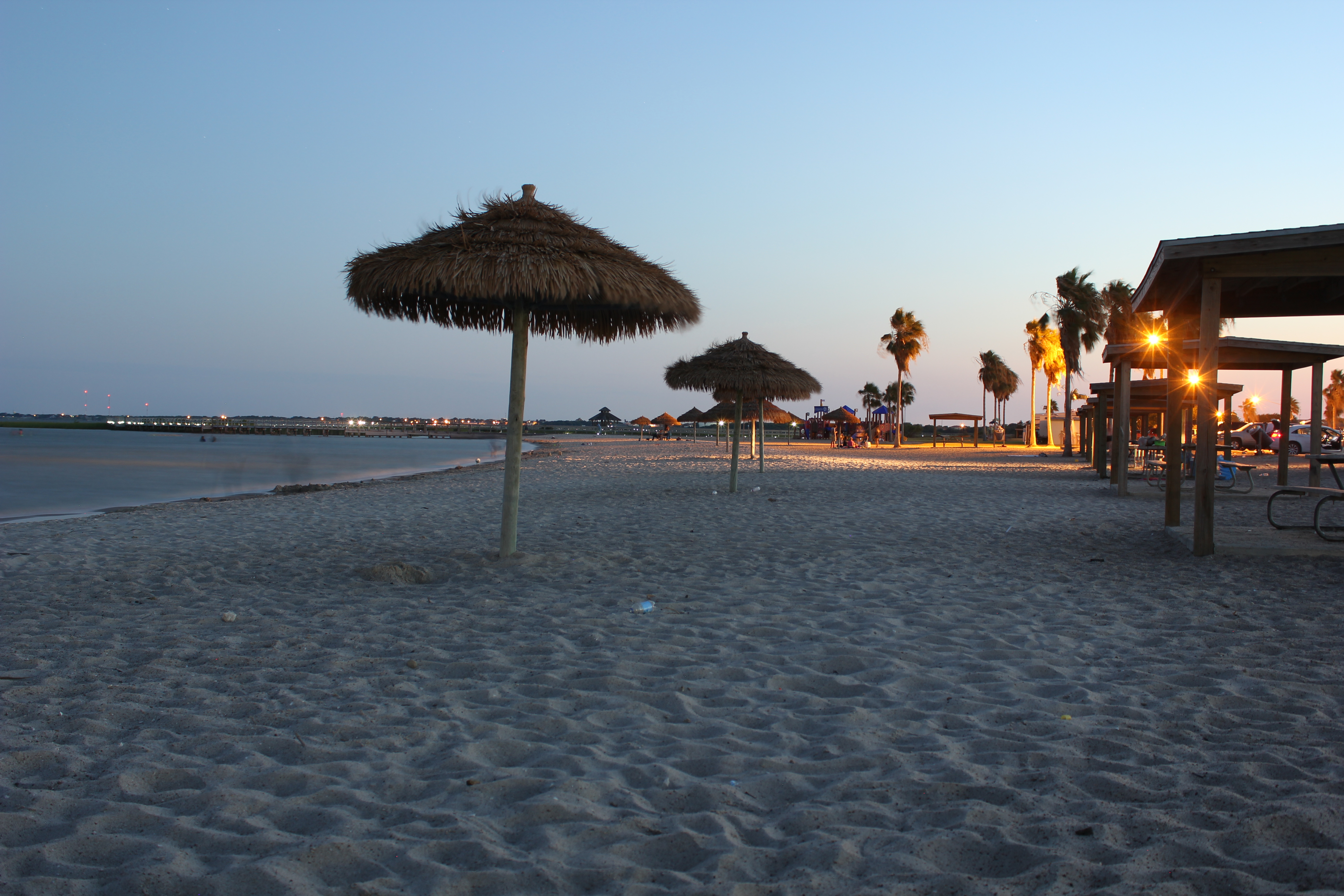
Port Lavaca Beach

Port Lavaca, Texas

Port Lavaca, Texas

Marina @ Lavaca

Harbor @ Lavaca
Topographic Map of Park Pl, Port Lavaca, TX, USA
Find elevation by address:

Places near Park Pl, Port Lavaca, TX, USA:
152 Del Mar Dr
2241 Tx-35
2228 Tx-35
Lighthouse Beach
1910 Lighthouse Beach Rd
413 Candlelight Ln
Westwood Drive
Broadway St & Bayview Dr
105 Brentwood Pl
123 Dan Ave
1701 N Virginia St
Bayfront Peninsula Park
Poor Boy Bait
200 N Colorado St
Port Lavaca
412 N Nueces St
412 N Nueces St
412 N Nueces St
412 N Nueces St
Calhoun High School
Recent Searches:
- Elevation of Corso Fratelli Cairoli, 35, Macerata MC, Italy
- Elevation of Tallevast Rd, Sarasota, FL, USA
- Elevation of 4th St E, Sonoma, CA, USA
- Elevation of Black Hollow Rd, Pennsdale, PA, USA
- Elevation of Oakland Ave, Williamsport, PA, USA
- Elevation of Pedrógão Grande, Portugal
- Elevation of Klee Dr, Martinsburg, WV, USA
- Elevation of Via Roma, Pieranica CR, Italy
- Elevation of Tavkvetili Mountain, Georgia
- Elevation of Hartfords Bluff Cir, Mt Pleasant, SC, USA