Elevation of Paris Crossing, IN, USA
Location: United States > Indiana > Jennings County > Montgomery Township >
Longitude: -85.648021
Latitude: 38.829501
Elevation: 191m / 627feet
Barometric Pressure: 99KPa
Elevation Map:
Satellite Map:
Related Photos:
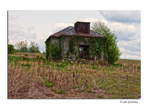
Abandoned Building
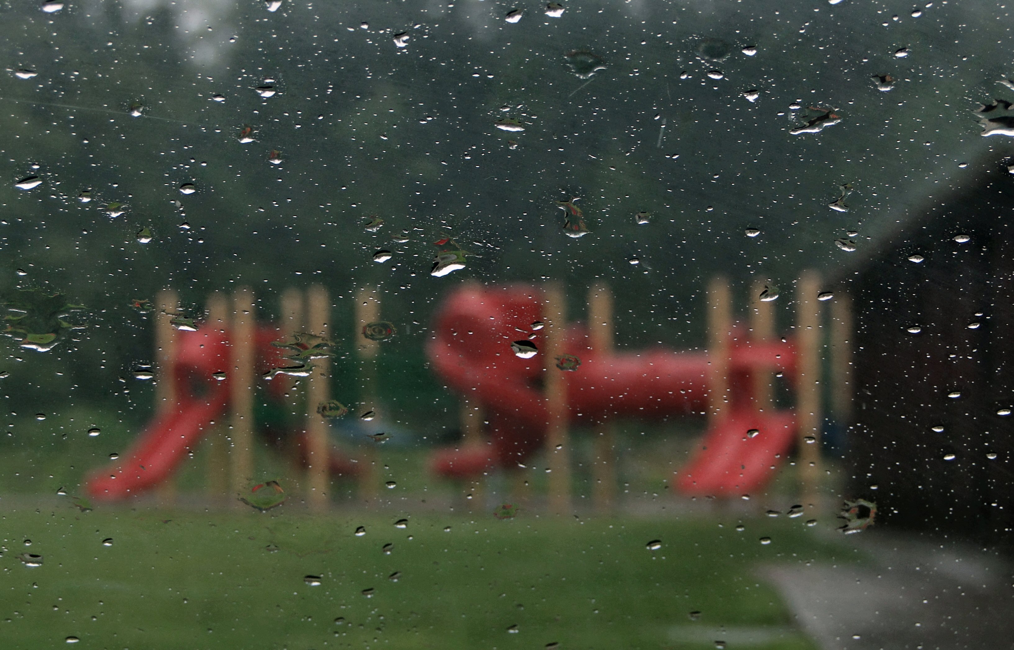
Rainy Days Are No Fun

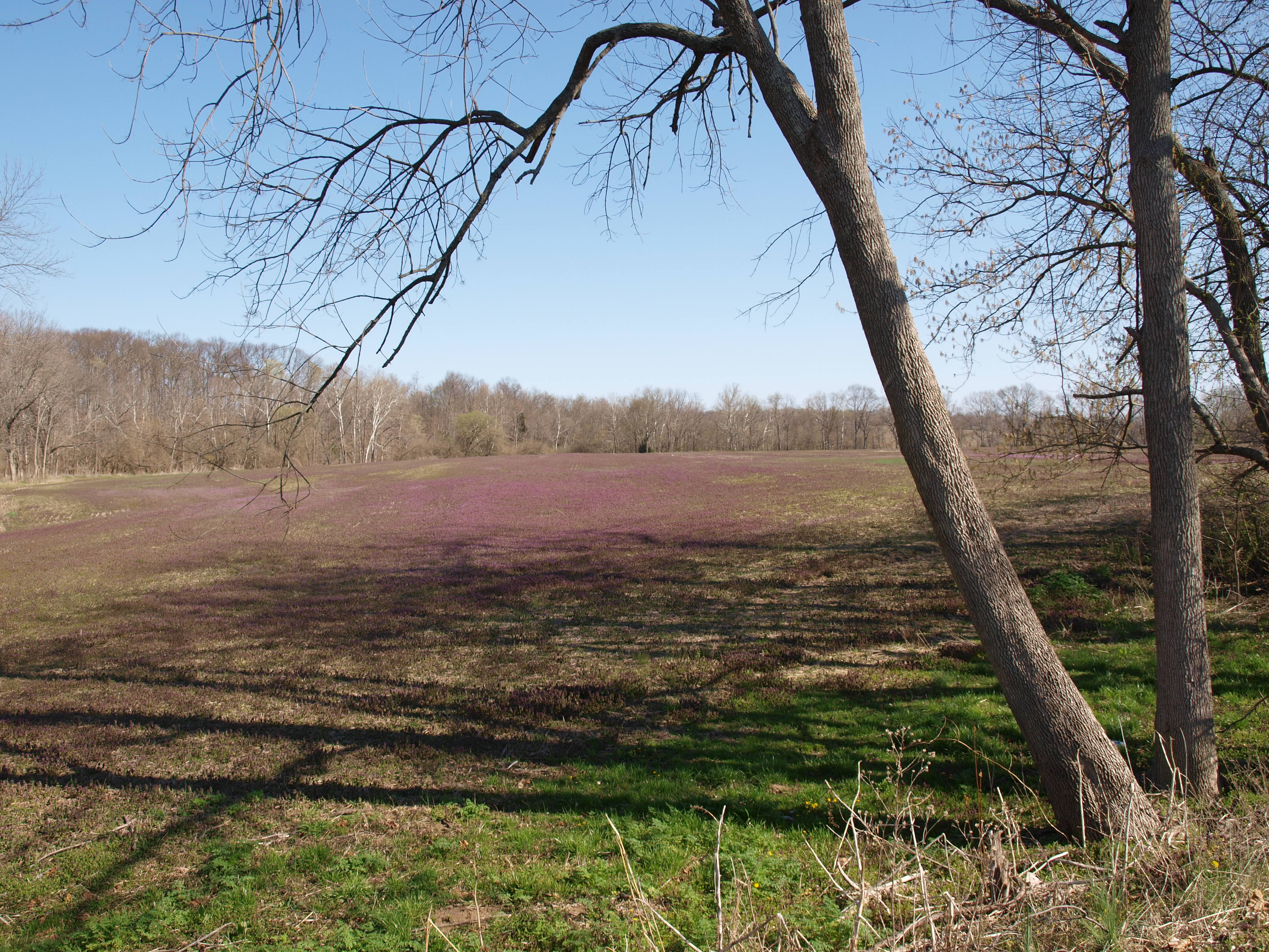
Quiet Farm
View from James Bridge, Jennings County, IN

James Covered Bridge

Autumn Pond

Looking for Moses 2
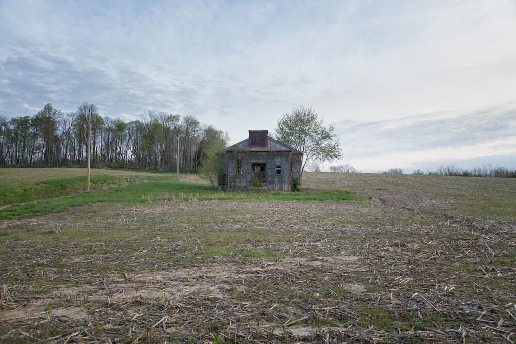
Untitled, Deputy, IN, April, 2014

American Woodcock

Marsh Magenta

Coffee Creek
Topographic Map of Paris Crossing, IN, USA
Find elevation by address:

Places in Paris Crossing, IN, USA:
Places near Paris Crossing, IN, USA:
IN-, Paris Crossing, IN, USA
Johnson Township
W Deputy Pike Rd, Deputy, IN, USA
N Wooster Rd, Scottsburg, IN, USA
E Webster Rd, Lexington, IN, USA
Republican Township
W Deputy Pike Rd, Madison, IN, USA
Scott County
Smyrna Township
W Sr, Madison Township, IN, USA
Jefferson County
22 IN-56, Scottsburg, IN, USA
Scottsburg
Scottsburg
Scottsburg
105 N Washington St
57 S Grange Hall Rd, Hanover, IN, USA
Hanover Township
W N, Madison, IN, USA
Hanover
Recent Searches:
- Elevation of Corso Fratelli Cairoli, 35, Macerata MC, Italy
- Elevation of Tallevast Rd, Sarasota, FL, USA
- Elevation of 4th St E, Sonoma, CA, USA
- Elevation of Black Hollow Rd, Pennsdale, PA, USA
- Elevation of Oakland Ave, Williamsport, PA, USA
- Elevation of Pedrógão Grande, Portugal
- Elevation of Klee Dr, Martinsburg, WV, USA
- Elevation of Via Roma, Pieranica CR, Italy
- Elevation of Tavkvetili Mountain, Georgia
- Elevation of Hartfords Bluff Cir, Mt Pleasant, SC, USA