Elevation of Parinacota, Putre, Arica y Parinacota Region, Chile
Location: Chile > Arica Y Parinacota Region > Parinacota Province > Putre >
Longitude: -69.2667
Latitude: -18.2
Elevation: 4428m / 14528feet
Barometric Pressure: 58KPa
Elevation Map:
Satellite Map:
Related Photos:
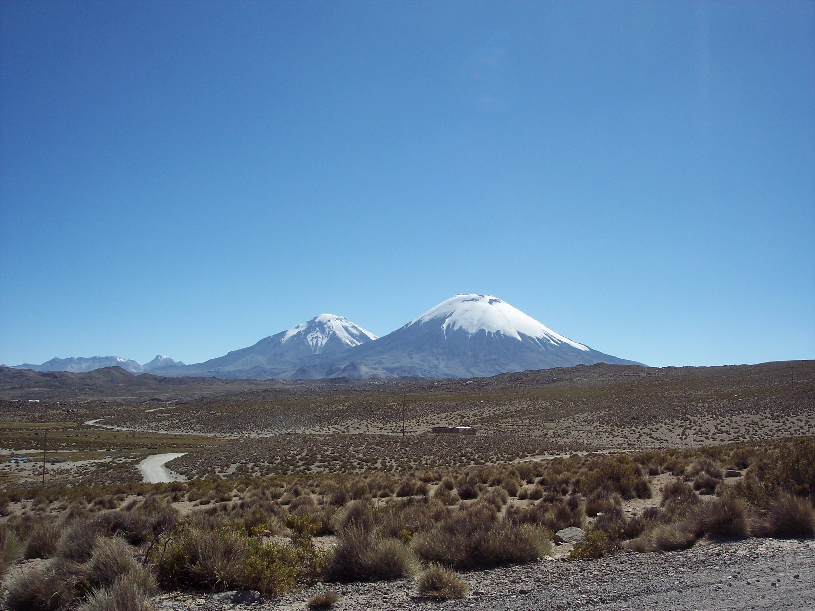
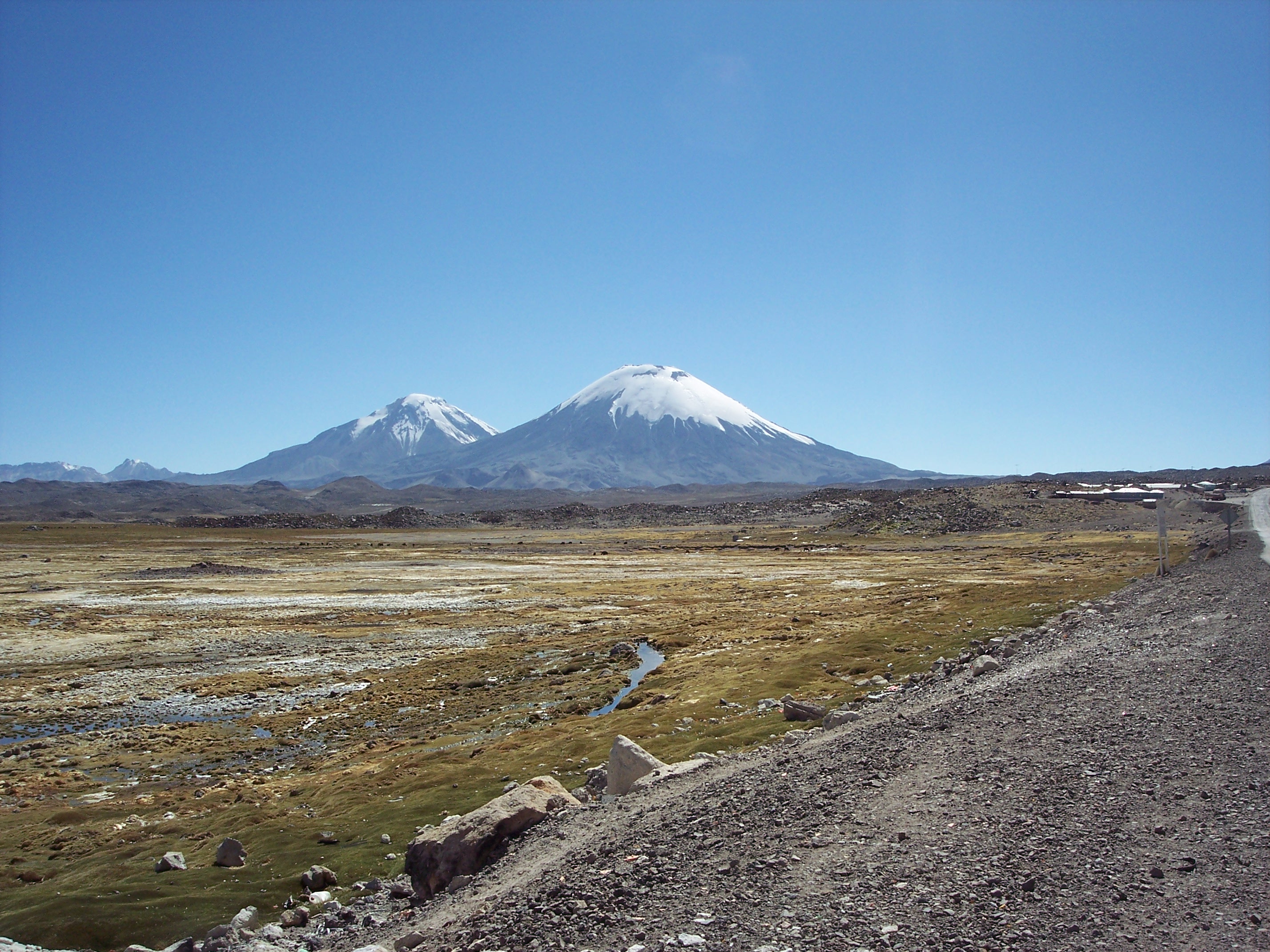
The Twins, Chile
Kitschy Postcard Motive
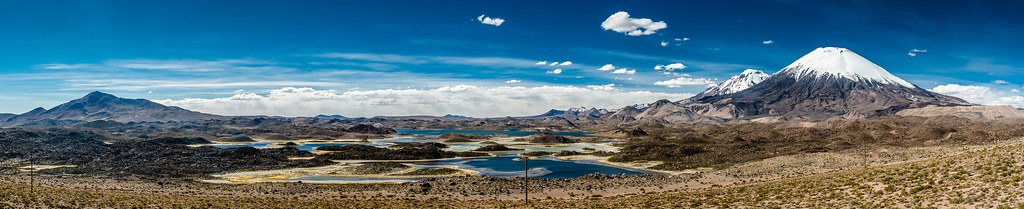
Altiplano Landscape - Lakes
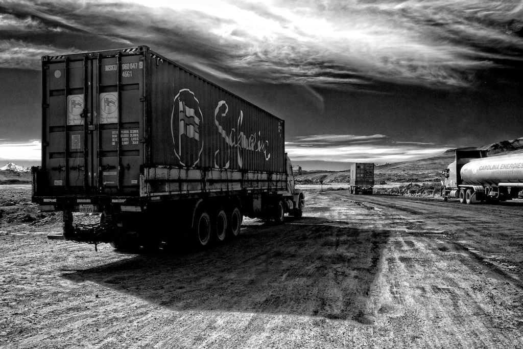
Trucks going to Bolivia
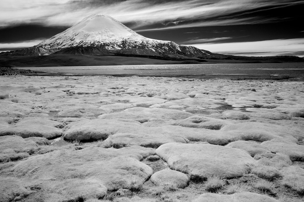
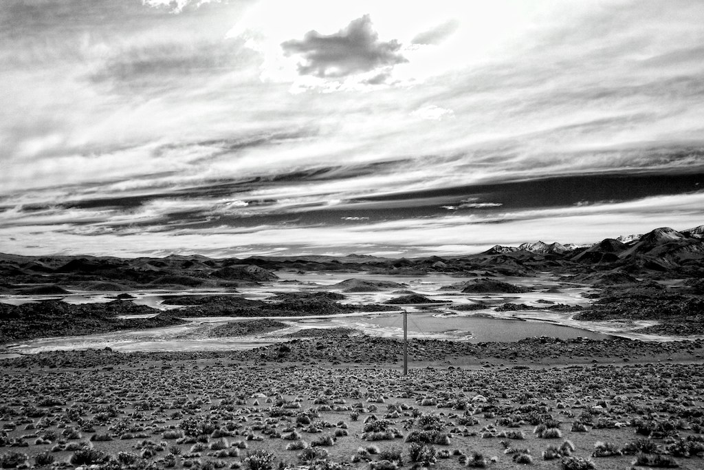
Parinacota Landscape View
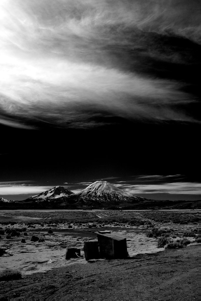
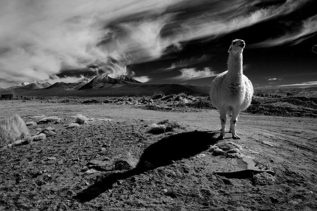
Wild Parinacota
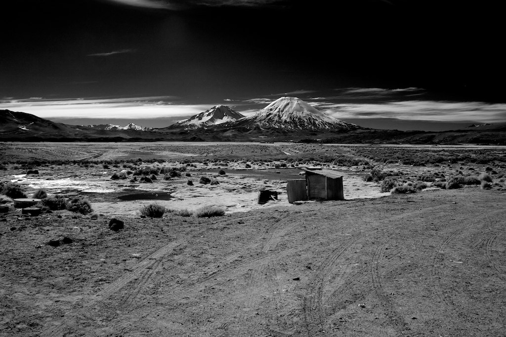
Parinacota view
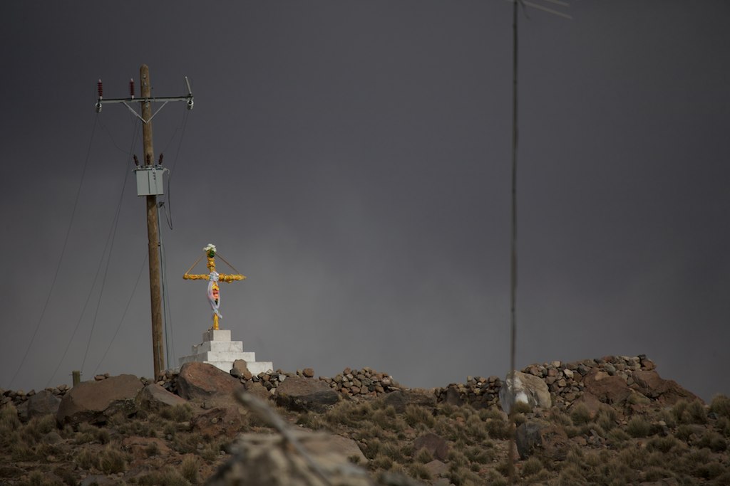
Cross at Parinacota
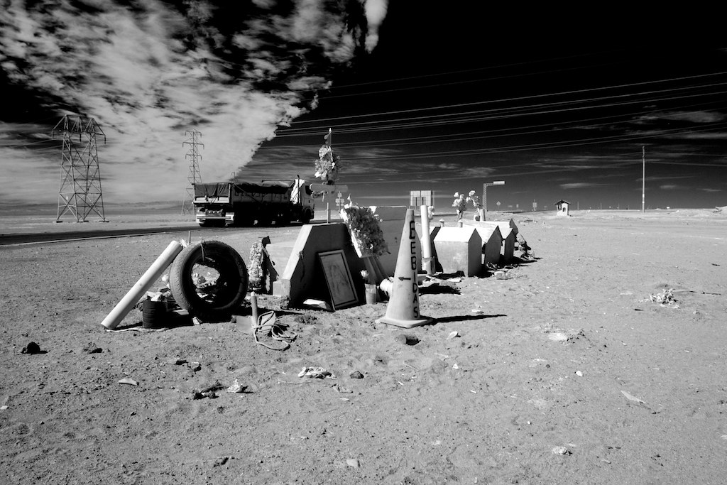
Graves at Pan-American Highway
Chile 2016
Parinacota (explored)
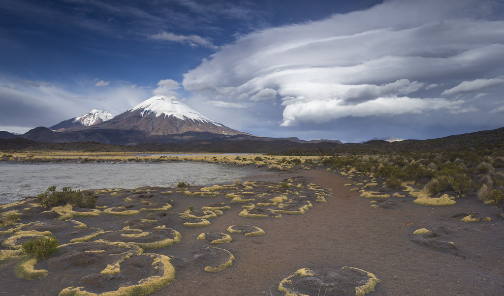
Cráter en las alturas

Volcán Parinacota (explored)
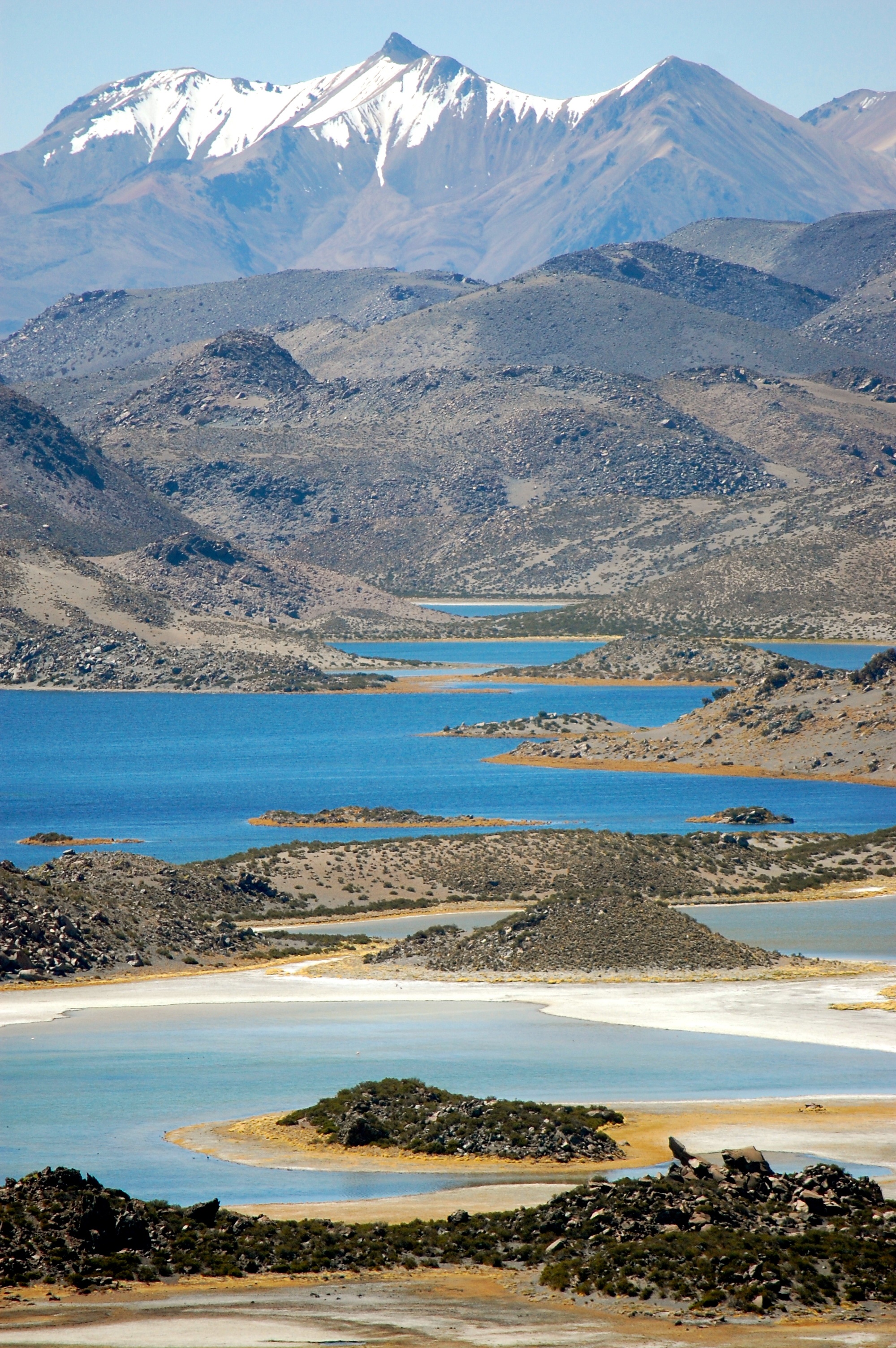
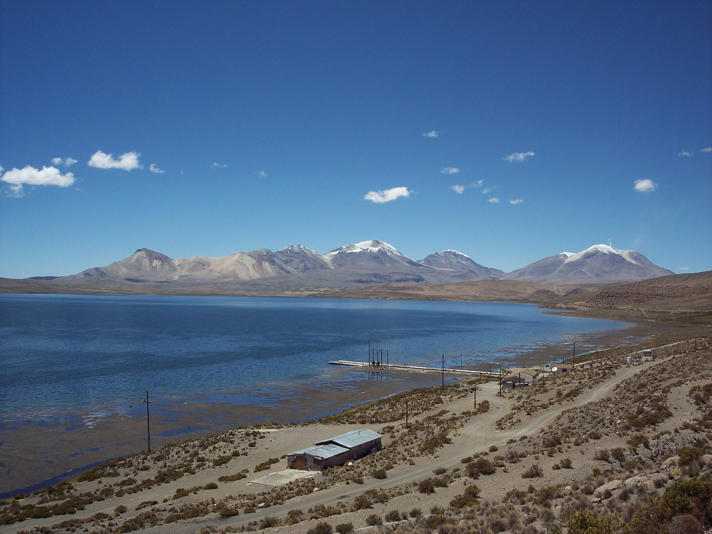
Lago Chungara (explored)
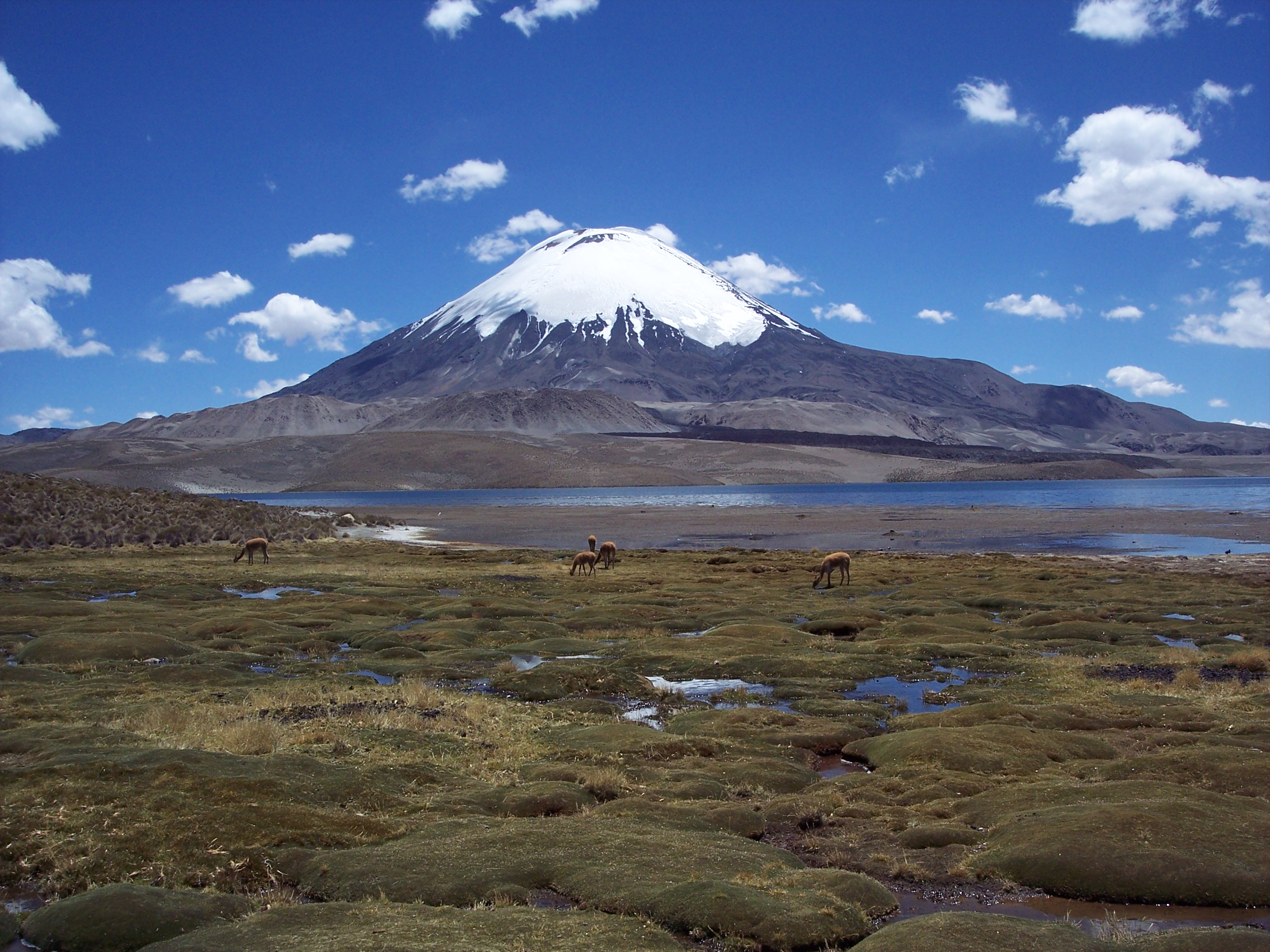
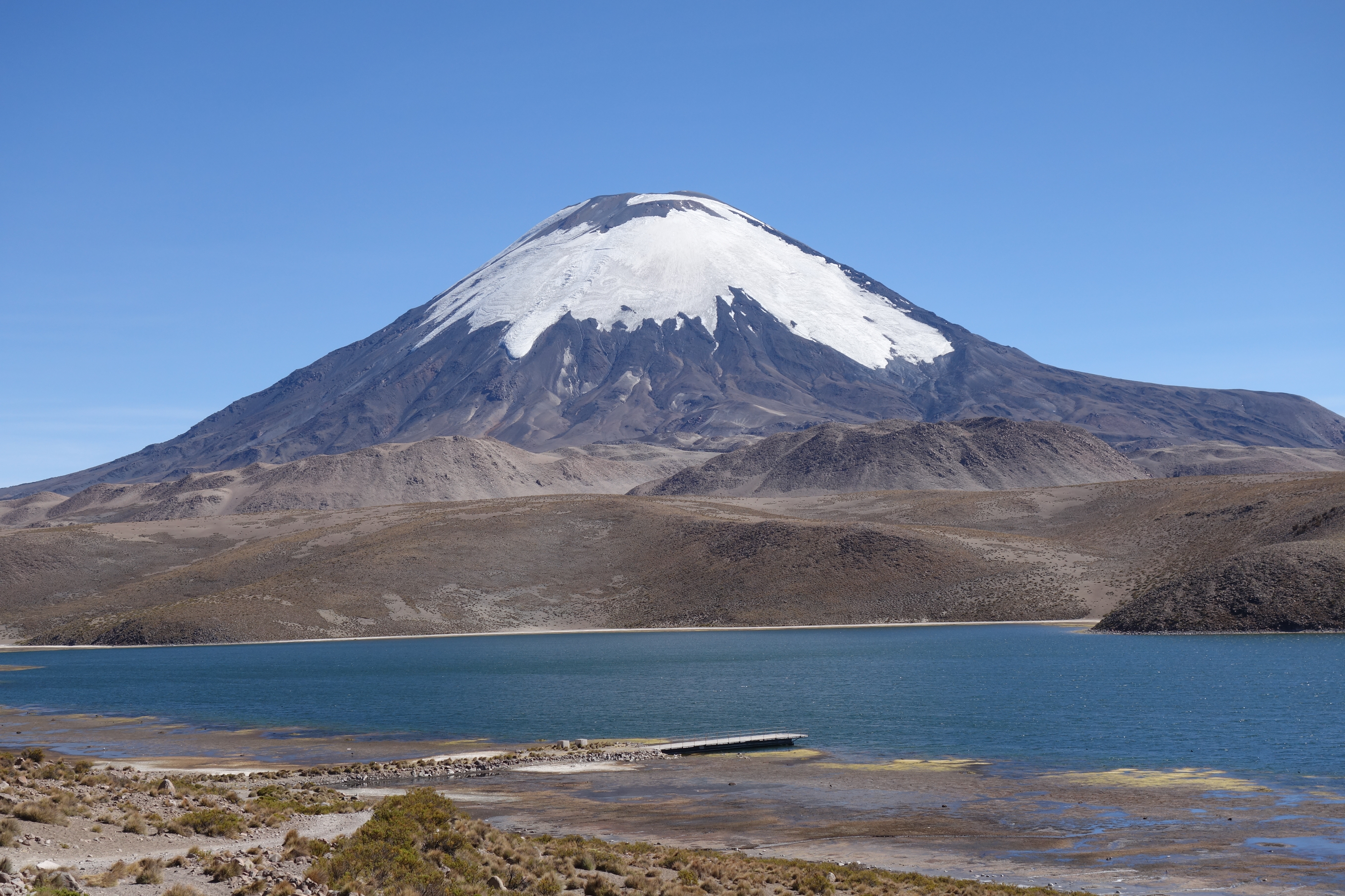
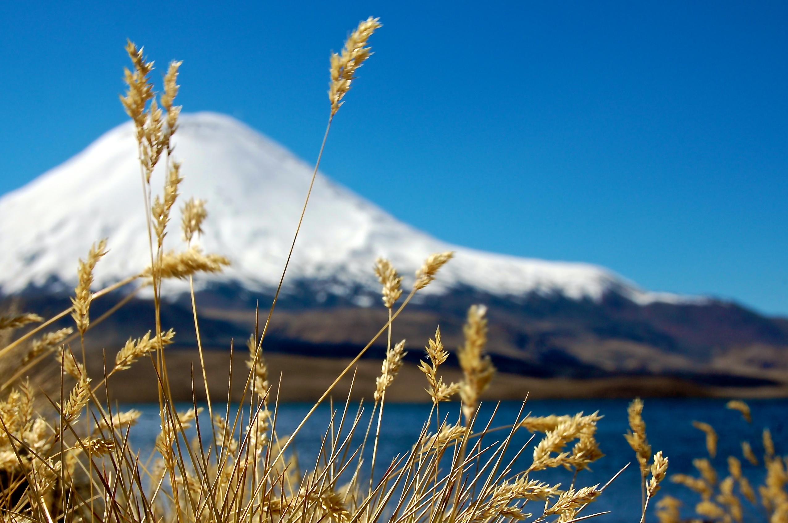
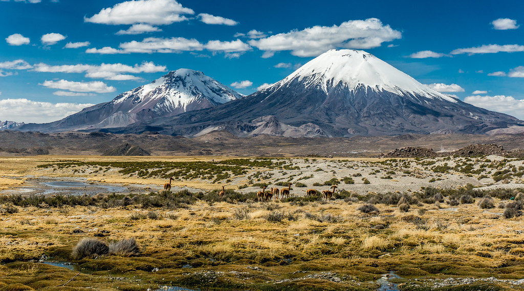
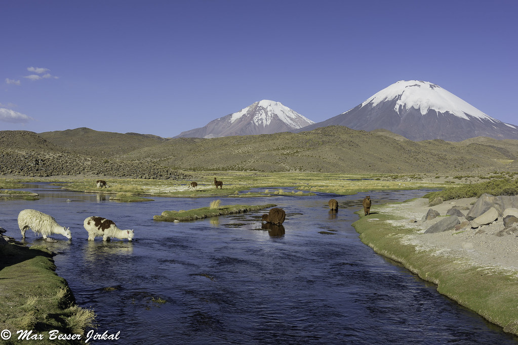
Chungará Lake (4500m) and the volcano Parinacota (6348m), Putre, Arica and Parinacota Region, Chile (2007). The animals are vicuñas.
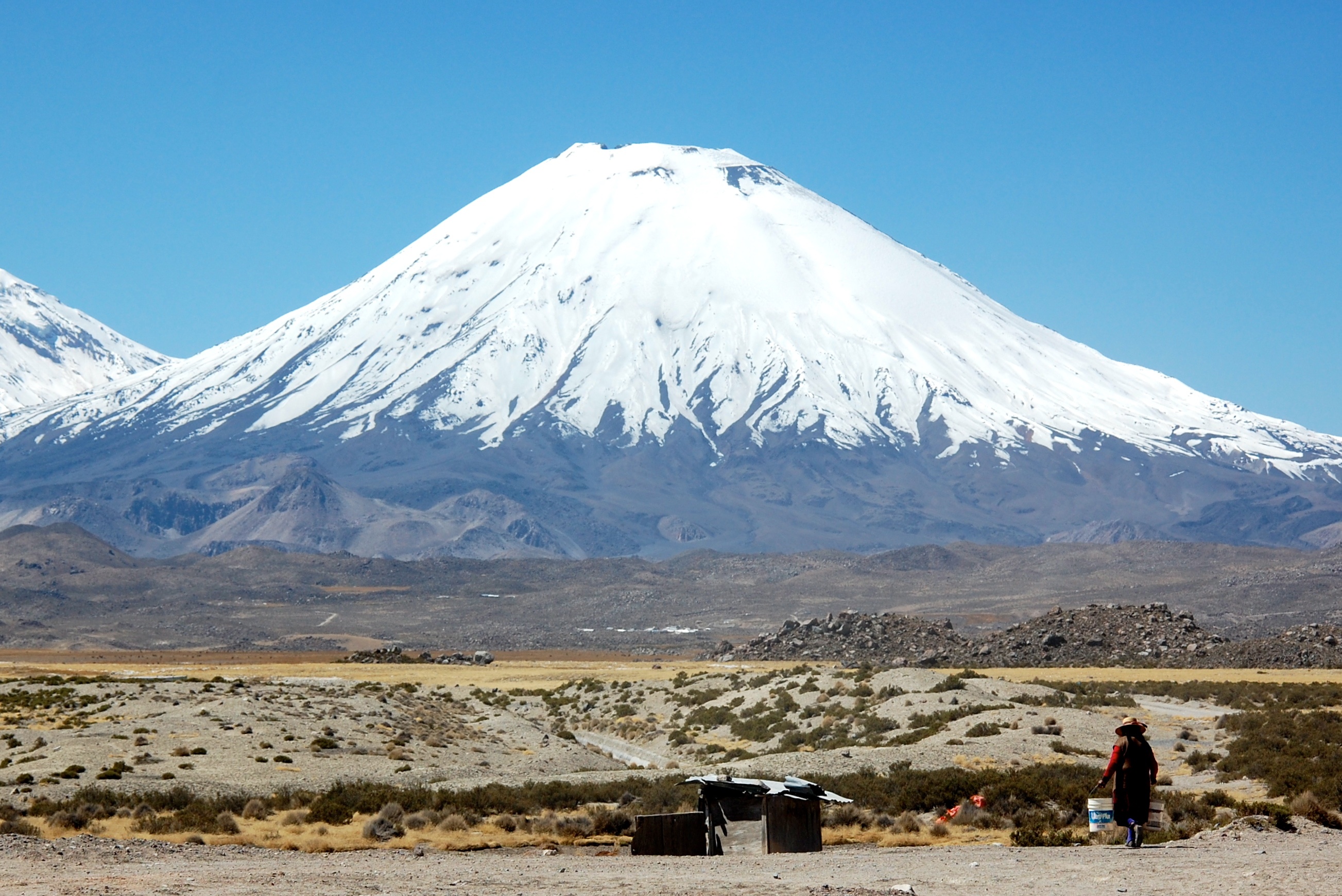
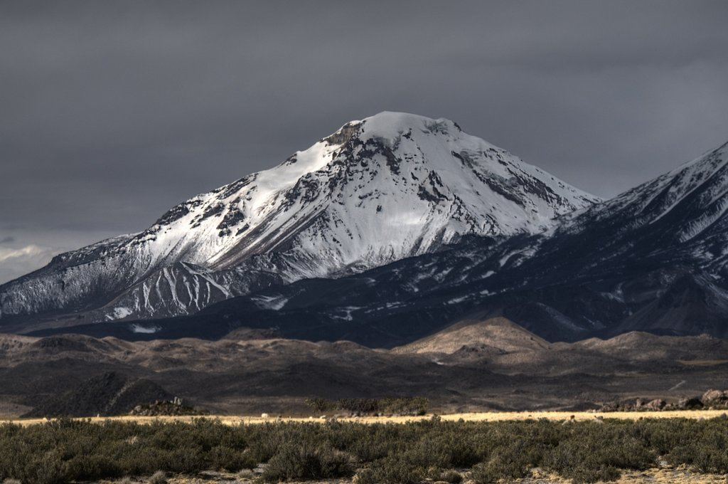
Volcán Parinacota
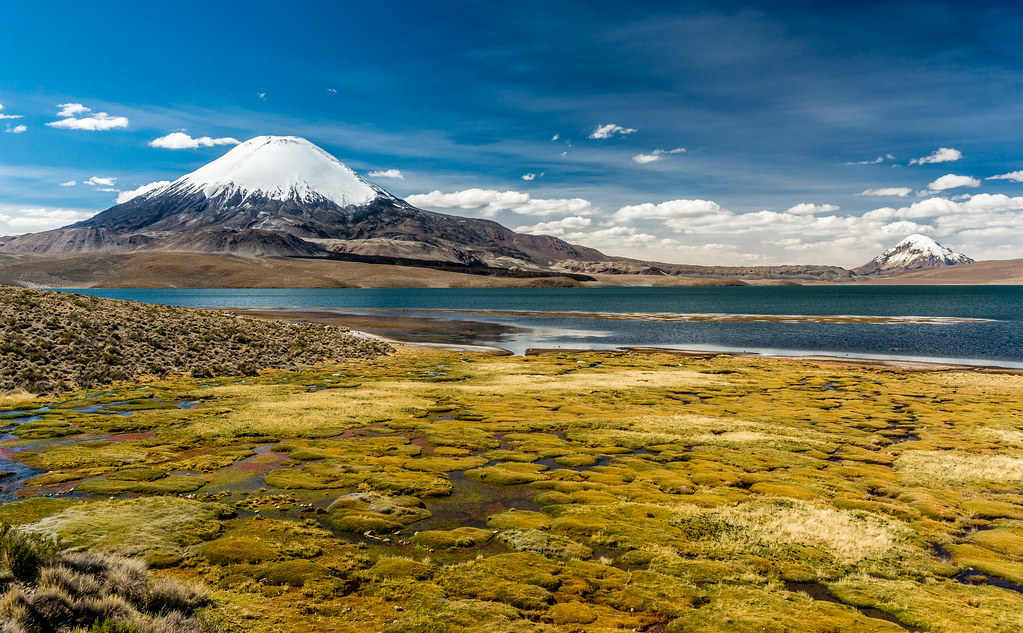
Parinacota & Sajama, Chile

Chungará Lake (4500m) and the volcano Parinacota (6348m), Putre, Arica and Parinacota Region, Chile (2007). The animals are vicuñas.
Vicuñas & Volcanoes, Chile
En busca del agua...
Chungara met zicht op de volcan Parinacota(1)

Volcan Parinacota
CHUNGARÁ LAKE, CHILE
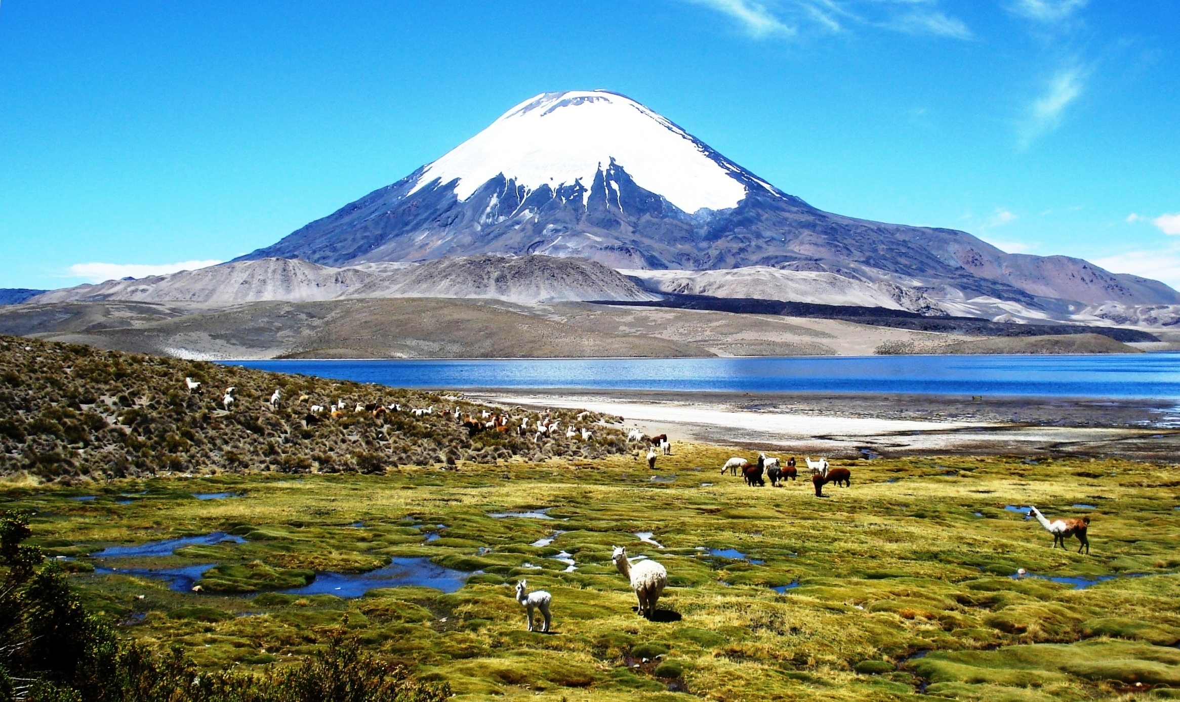
Chungará (4500m), the volcano Parinacota (6348m) and the volcano Pomerape (6222m), Putre, Arica and Parinacota Region, Chile (2007). The animals are vicuñas.
Volcan Pomerape

Chile - bofedales al parque Lauca
Chungará Lake (4500m), with the three volcanoes Umurata (5730m), Acotango (6052m), and Capurata (5950m), on the border of Chile en Bolivia. On the right the volcano Guallatiri (6071m), Putre, Arica and Parinacota Region, Chile (2007).
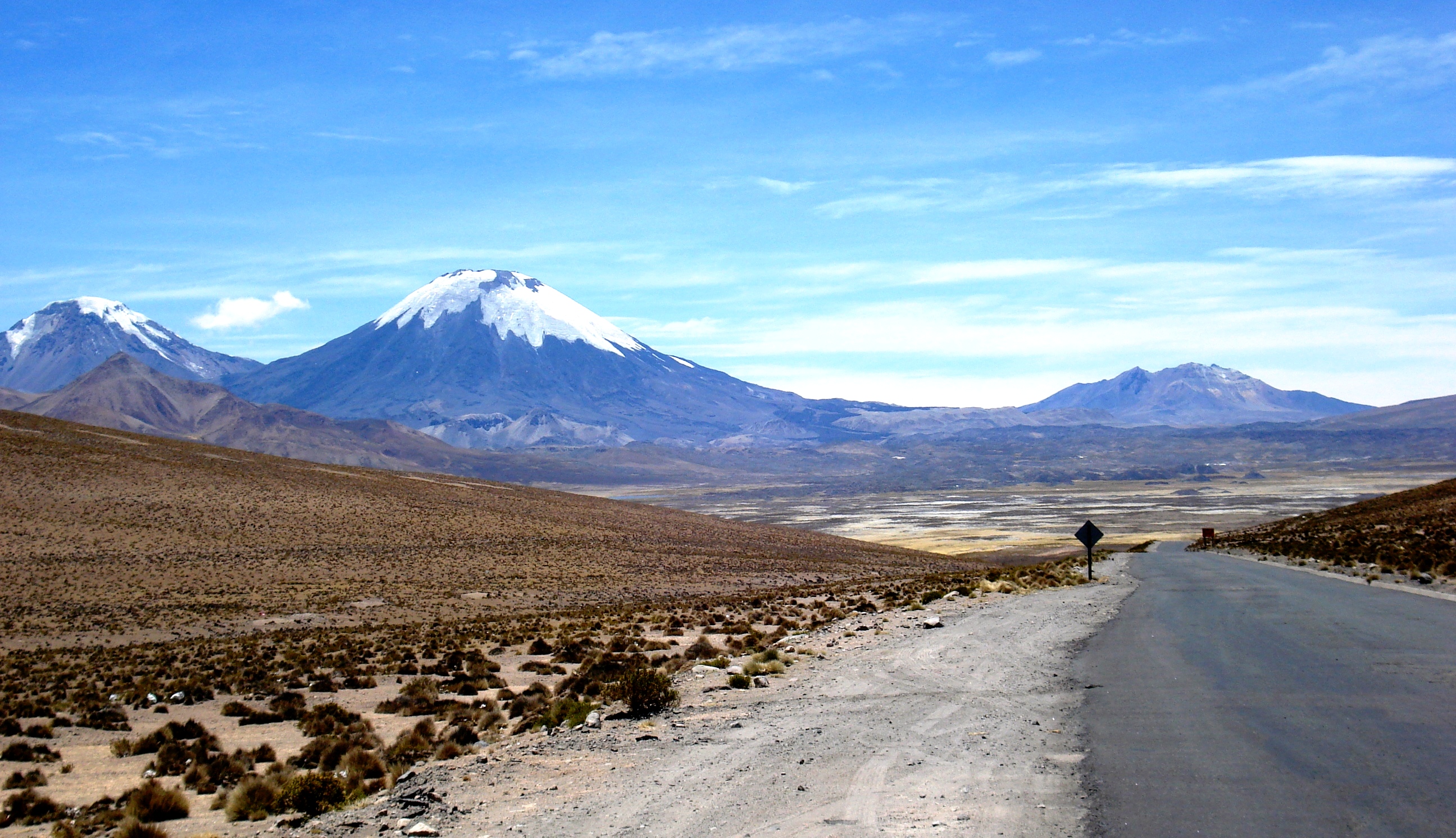
PARINACOTA VOLCANO, CHILE.
paisajes_de_chile-7

Lago Chungara
Topographic Map of Parinacota, Putre, Arica y Parinacota Region, Chile
Find elevation by address:

Places near Parinacota, Putre, Arica y Parinacota Region, Chile:
Lauca
Chungará Lake
Parinacota
Mount Laram Q'awa
K'isi K'isini
Phaq'u Q'awa
Kunturiri
Putre
Sajama National Park And Natural Integrated Management Area
Socoroma
Ch'iyara Salla
Nevado Anallajsi
General Lagos
Tacora
Jach'aqullu
Pallagua
Q'asiri
Pje. Basadre y Forero 10, Tacna, Peru
Tacna
Tacna
Recent Searches:
- Elevation of Corso Fratelli Cairoli, 35, Macerata MC, Italy
- Elevation of Tallevast Rd, Sarasota, FL, USA
- Elevation of 4th St E, Sonoma, CA, USA
- Elevation of Black Hollow Rd, Pennsdale, PA, USA
- Elevation of Oakland Ave, Williamsport, PA, USA
- Elevation of Pedrógão Grande, Portugal
- Elevation of Klee Dr, Martinsburg, WV, USA
- Elevation of Via Roma, Pieranica CR, Italy
- Elevation of Tavkvetili Mountain, Georgia
- Elevation of Hartfords Bluff Cir, Mt Pleasant, SC, USA